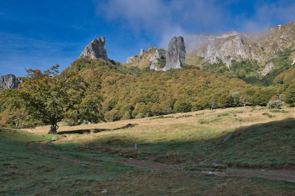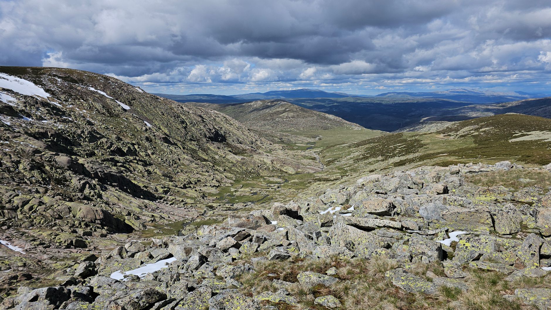

Corsica rises from the Mediterranean Sea like a formidable granite bastion, a jagged backbone where sharp ridges and sheer verticals dictate the laws of human movement. Stretching for one hundred and eighty kilometers, the trail known as the GR 20 cuts through the island’s spine from Calenzana in the northwest to Conca in the southeast, splitting the landscape into two realms dominated by bare rock, gulf winds, and profound isolation. This is no path designed for casual contemplation; it is a technical route where forward motion demands constant use of hands, skill in reading stone cairns, and strict physical pacing across cumulative elevation gains exceeding twenty-five thousand meters in total.
Undertaking this traverse requires understanding that the primary challenge lies not in horizontal distance, but in the brutality of its altitudinal profile. Each stage imposes drastic shifts in vegetation and temperature: from laricio pine forests to glacial cirques stripped of organic soil, where erosion has carved smooth rock channels locally known as dalles. In this context, logistical preparation admits no improvisation. The scarcity of summer water sources along the ridges and the mandate to sleep in rugged environments regulated by the Corsica Regional Natural Park turn every single day into an exercise of precision where backpack weight must be pared down to the absolute minimum.
The Geography of Granite: Morphology and Technical Demands of the Corsican Terrain
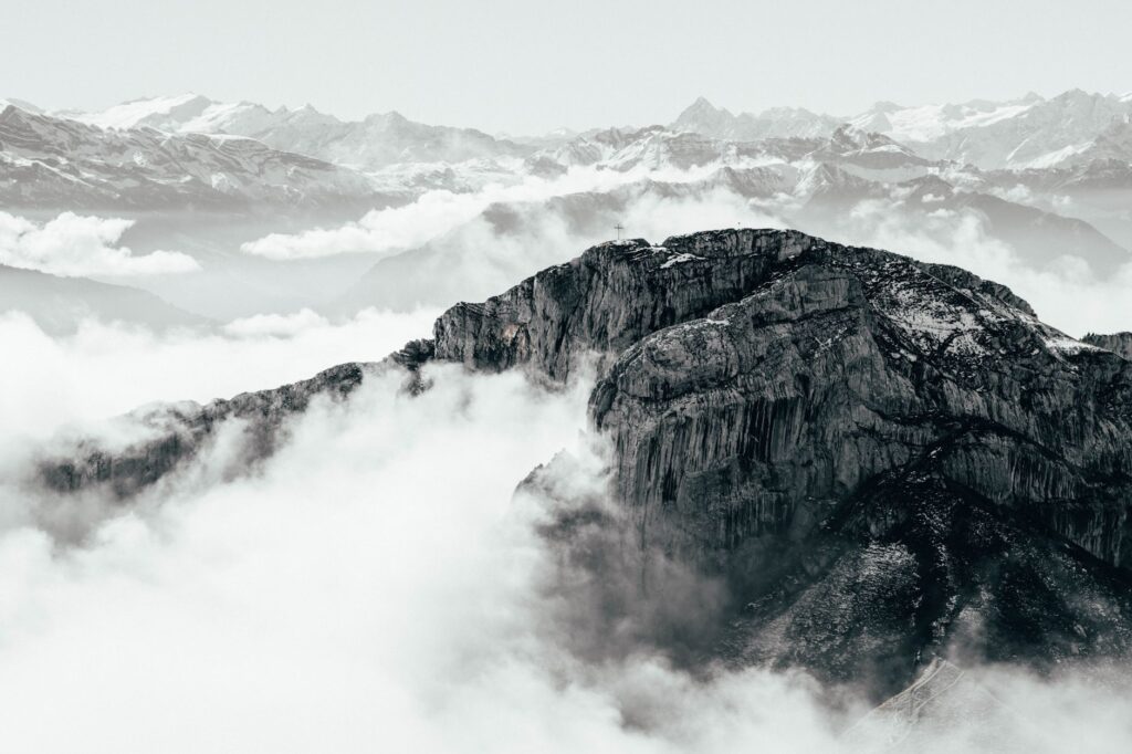
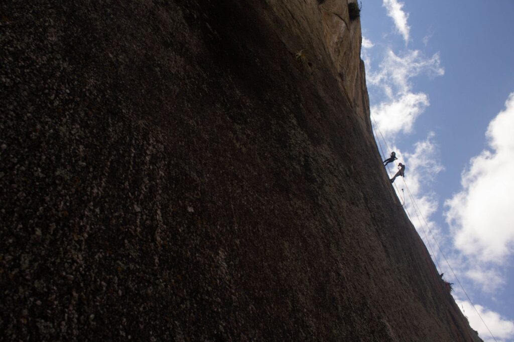
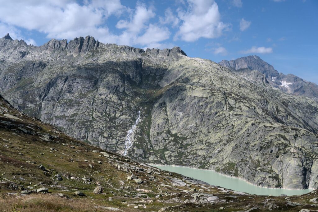
The interior relief of Corsica is the product of a complex orogenic history that has exposed hard granitic and schistose formations. Unlike the sedimentary layers of other European mountain ranges, Corsican granite features extreme abrasiveness that punishes both technical footwear and footing stability during descents. Exposed ridges, particularly in the northern section between Calenzana and Vizzavona, force hikers to execute low-difficulty yet highly exposed climbing moves where a misstep can carry fatal consequences.
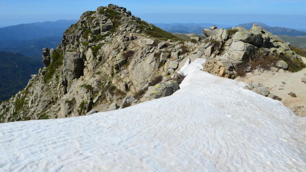
Progression across the ridges of Monte Cinto and the Renoso massif requires familiarity with dry-rock friction techniques. Soft rubber soles, degraded by high summer temperatures, lose effectiveness over the accumulated dust on narrow ledges. Local guides thus emphasize maintaining three stable points of contact and shifting the center of gravity toward the rock wall, remaining wary of loose blocks that the Mediterranean weather constantly fractures through nighttime freeze-thaw cycles.
Climate Transition: Between Marine Influence and Alpine Altitude
Despite its southern latitude, the altitude of Corsican summits—surpassing two thousand five hundred meters at multiple points—generates microclimates of marked severity. Moist air masses arriving from the Tyrrhenian Sea and the Gulf of Lion collide head-on with the mountain barriers, triggering violent afternoon convective thunderstorms during the summer months. These storms develop with unusual speed, turning exposed ridges into high-risk zones for lightning strikes.
Morning weather reading is therefore a critical competency for any expeditionary. The appearance of cumulus clouds over western valleys before noon signals the immediate need to accelerate pace or abort ascents to exposed cols such as the famous Breche de Capitellu. Equipment must always include breathable waterproof membranes and tether systems to prevent trekking poles from acting as lightning rods in the higher sectors of the route.
Refuge Logistics and Wilderness Autonomy in the Corsican High Country
The network of refuges managed by the natural park serves as the backbone of infrastructure along the itinerary. However, their capacity is limited and their comfort level is strictly basic. These stone and timber shelters offer shared bunk platforms, water sources nearby, and, in some cases, a seasonal warden who oversees facility maintenance and collects camping fees in designated tent areas surrounding the buildings.
During the peak season, running from late June through September, demand far outstrips indoor bunk availability. Advance booking via official digital platforms is an absolute prerequisite, though adverse weather may force sudden route adjustments. In terms of self-sufficiency, the hiker must carry a lightweight gas stove, cooking gear, and freeze-dried expedition rations, since fresh food supplies at the refuges are extremely scarce or entirely absent due to the lack of vehicular access roads.
The GR 20 rewards neither raw speed nor brute strength, but rather methodical patience, adaptability to shifting weather, and a reverent respect for a mountain range that tolerates no tactical errors.
Waste management represents another cornerstone of commitment to the environment. The park’s policy is unequivocal: everything packed into the backpack must be carried down from the mountain. Sanitation facilities at the refuges are dry-toilet systems whose upkeep depends entirely on user civic-mindedness, serving as a reminder that hikers operate within a fragile ecosystem where summer human pressure tests the resilience of endemic flora.
Critical Hydration: Managing Water Resources Along the Southern Ridges
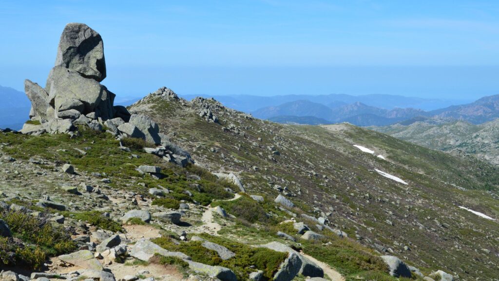
While the northern section stands out for its technical verticality and scrambling moves, the southern section—stretching between Vizzavona and Conca—poses a distinct yet equally complex challenge: the seasonal scarcity of water resources. As summer advances, high-altitude springs and small feeder streams tend to dry up or drop to very low flows susceptible to contamination by free-roaming livestock.
Carrying a minimum water capacity of at least three liters per person is mandatory to face long stages under direct Mediterranean sun exposure. Furthermore, using chemical purification tablets or hollow-fiber membrane filters is essential to treat water gathered from uncontrolled natural sources, preventing gastrointestinal pathogens that would immediately jeopardize the continuity of the expedition.
Minimum carrying capacity: Flexible 3-liter containers per hiker for stretches without water sources.
Chemical and physical filtration: Combined use of chlorine dioxide and 0.1-micron filters to eliminate bacteria and protozoa.
Time management: Start hiking before dawn to complete eighty percent of elevation gain before midday.
Practical guide
How to get there: The main entry points to Corsica are regular flights to Ajaccio or Bastia airports, or high-speed ferries operated by lines such as Corsica Linea and La Méridionale from French ports in Marseille, Nice, and Toulon, as well as Italian ports including Livorno and Genoa. To reach the northern trailhead in Calenzana, travelers take the narrow-gauge railway known as the U Trinichellu from Calvi or Ajaccio to Ponte Leccia station, connecting onward via local taxi services.
When to go: The optimal weather window for the GR 20 runs from mid-June to late September. Outside this period, refuges remain unserviced and closed, while snow and ice on high cols mandate crampons, ice axes, and advanced winter mountaineering skills.
Permits and regulations: Wild camping is strictly prohibited across the entire territory of the Corsica Regional Natural Park outside designated areas surrounding the refuges. Advance overnight bookings must be secured months ahead through the official park web portal to guarantee access to authorized facilities.
Recommended equipment: High-cut mountain boots with aggressive tread soles, 50-to-60-liter backpack with rain cover, trekking poles with summer baskets, technical layering system with windproof membrane, advanced first-aid kit, emergency bivouac blanket, and a satellite communication device for areas lacking cellular coverage.
Safety and rescue: Mountain rescue operations in Corsica are handled by the Gendarmerie (PGHM) and specialized fire services. A mountain club membership covering helicopter rescue operations and international medical repatriation is indispensable.
The cumulative effort endured across days of marching finds its ultimate counterpoint upon reaching the sea, when the trail finally descends through maquis shrublands into the cove of Conca. At that exact moment, beholding the turquoise waters of the Mediterranean after conquering the granite walls of the interior is not merely the end of a route, but the realization of having traversed one of the wildest and most honest natural landscapes in Europe, where self-sufficiency and camaraderie among hikers stand as the only currencies of true value.