
Introduction to the Lycian Way and the Anatolian Coastal Challenge
The Lycian Way represents far more than a standard long-distance hiking trail along the southern coast of Turkey. Stretching over five hundred kilometers between the towns of Fethiye and Antalya, this officially mapped route carves a sinuous line across limestone cliffs, pine forests, and the ruins of an ancient civilization that once dominated the Mediterranean Sea. Undertaking this expedition demands absolute logistical rigor, driven by both topographic complexity and the scarcity of water resources across specific mid-mountain sections. Unlike humid alpine trails, here the trekker must carefully manage every drop of water and anticipate abrupt elevation changes beneath the relentless Anatolian sun.
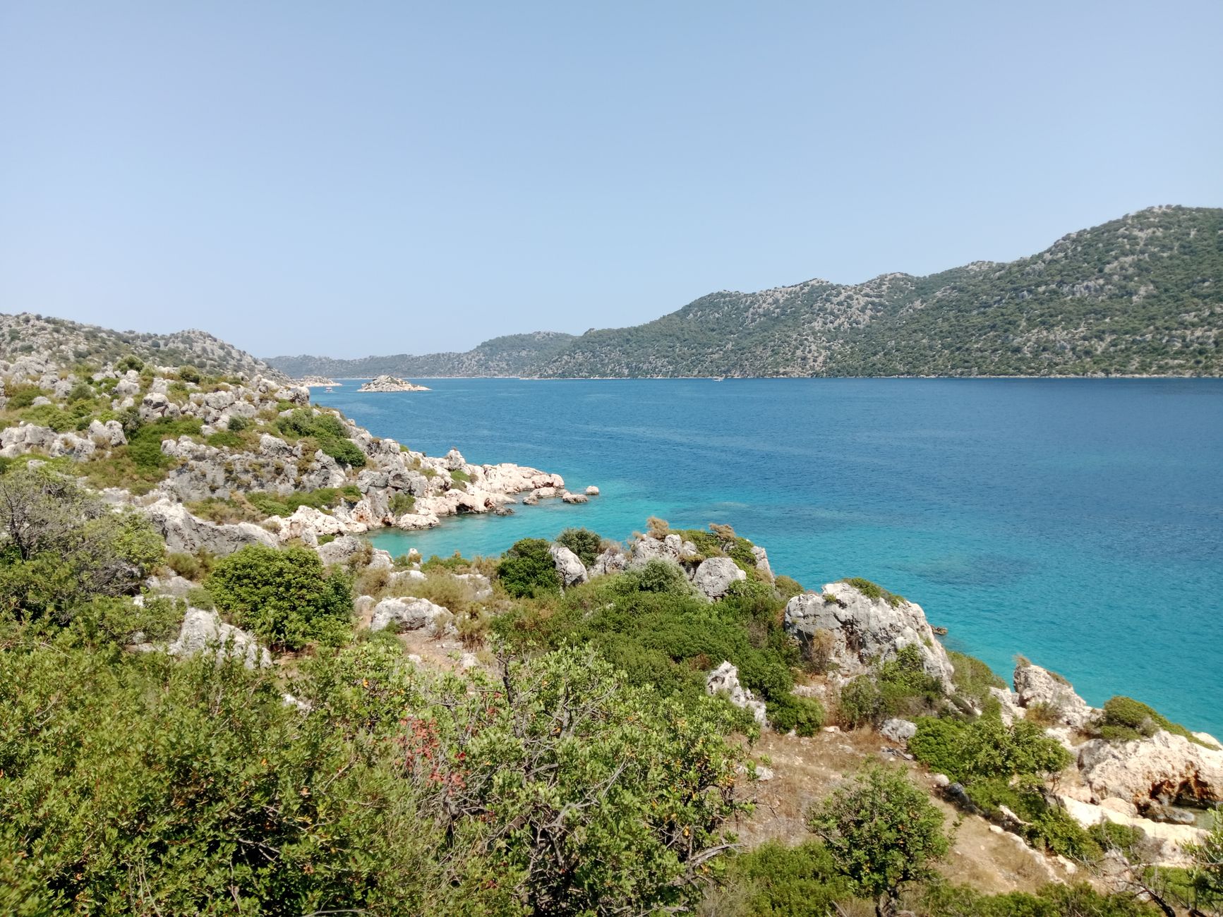
The Lycian territory is defined by a vertical geography where the peaks of the Taurus Mountains plunge directly into the turquoise waters of the Mediterranean. This close proximity between high mountain terrain and the coastline generates shifting microclimates, demanding considerable technical versatility from the expeditioner. It is not merely about walking, but about interpreting a landscape littered with rock-cut necropolises, submerged cities, and isolated coves accessible only on foot or by sea. This guide outlines the critical aspects for planning and executing a successful autonomous or semi-autonomous journey through this historical corridor of Asia Minor.
Seasonal Timing and Weather Dynamics on the Turquoise Coast
Choosing the correct temporal window is the single most critical factor separating a successful expedition from a dangerous thermal stress scenario. Summer months along Turkey’s Mediterranean coast consistently record daytime temperatures exceeding forty degrees Celsius, making safe advancement with heavy packs virtually unfeasible. For this reason, the only viable seasons for undertaking the full traverse are spring —from March to May— and autumn —from September to November—.
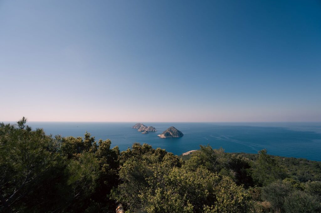
During the spring months, the landscape blooms with vegetation, and natural water basins maintain acceptable levels thanks to winter rains and melting snow from the limestone peaks of Mount Babadağ and Mount Tahtalı. Nevertheless, travelers must remain prepared for sudden coastal storms and strong sea breezes. Conversely, autumn offers warm sea temperatures ideal for physical recovery after strenuous stages, though natural water resources hit their lowest annual levels, forcing reliance on village taps and rural cisterns.
Resupply Logistics and Water Resource Management
One of the greatest challenges facing expeditioners on the Lycian Way is the management of potable water. Along the route, permanent streams are scarce due to the karst nature of the terrain, which rapidly drains water into subterranean aquifers. Planning each stage requires meticulous calculation of fluid consumption, estimating a minimum of four liters per person daily in arid sections, such as the tract between Patara and Kalkan.
The route passes through numerous traditional rural settlements and villages —such as Ovacık, Faralya, Gavurağılı, or Üçağız— where fresh provisions and public water replenishment are available. However, across high plateaus and ridge sections overlooking the sea, self-sufficiency for forty-eight hours remains an essential prerequisite. Chemical purification systems or high-efficiency membrane filters are strongly recommended for treating water sourced from local cisterns or questionable origins.
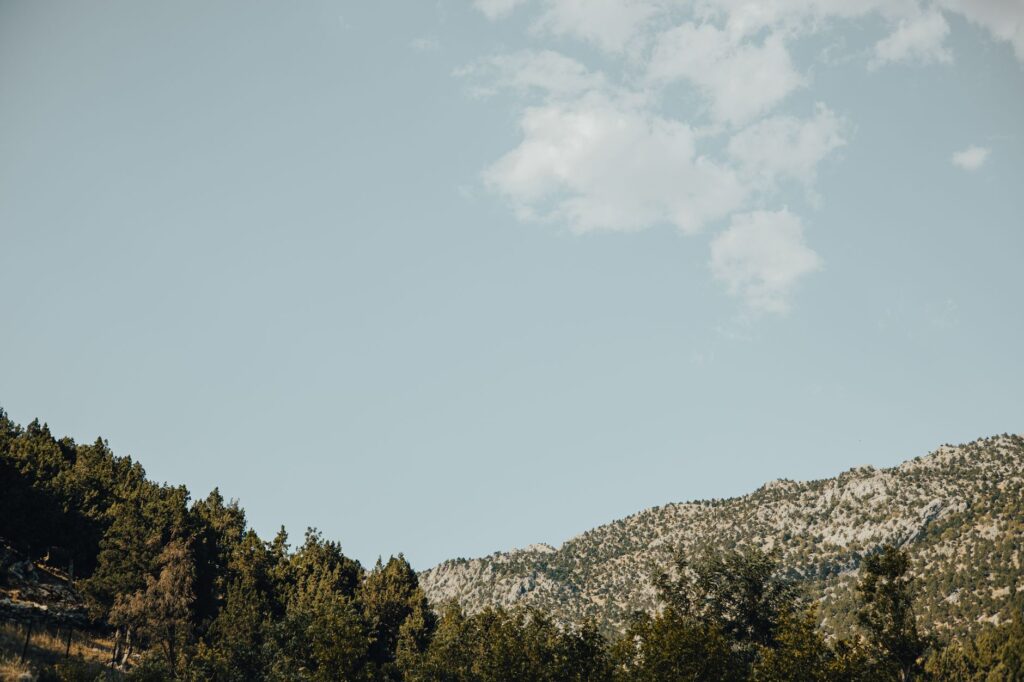
The Lycian Way is not a casual seaside stroll; it is a technical expedition over abrasive limestone where every liter of water carried in the pack dictates the safety margin of the day.
Navigation, Cartography, and Karst Terrain Reading
Although the trail is officially marked with red and white paint blazes adhering to international long-distance standards —equivalent to the European GR system— erosion, rockfalls, and forestry activity frequently cause waymarks to vanish in remote zones. The white limestone intensely reflects sunlight, dazzling the trekker and complicating the visual identification of the path.
Carrying detailed topographic maps at a 1:25,000 scale is mandatory, complemented by offline GPS navigation devices and backup power banks. Karst terrain is riddled with dolines, lapiaz, and hidden sinkholes obscured by maquis and Mediterranean scrub vegetation, turning any departure from the main trail into a genuine risk of joint injury or falls. Compasses and barometric altimeters remain irreplaceable tools when coastal fog rolls rapidly down from the peaks toward sea level.
Stage Structure and Core Geographical Sectors
To grasp the true scale of the Lycian Way, experienced hikers divide the route into three distinct geographic and technical blocks, each presenting unique physical and logistical demands.
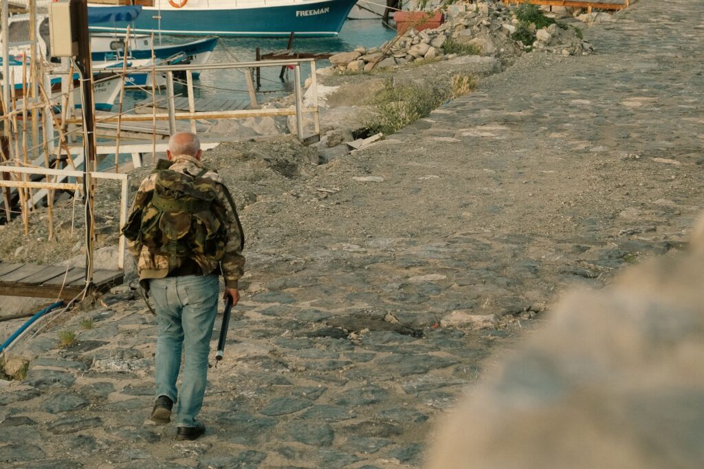
The Western Sector: From Fethiye to Kalkan
This opening section is characterized by steep elevation profiles and iconic vistas overlooking the famous Blue Lagoon of Ölüdeniz. The initial ascent toward the foothills of Mount Babadağ tests the expeditioner’s acclimatization from day one. Trails combine ancient stone-paved mule tracks with loose dirt logging roads. Key geographical and historical landmarks include the Butterfly Valley and the abandoned Greek village of Kayaköy, serving as an architectural testament to the region’s recent past.
The Central Sector: From Kalkan to Çıralı
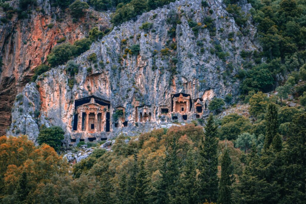
Defined by the presence of submerged archaeological remains and semi-sunken Lycian cities such as Simena and Kekova. Here, the terrain softens slightly as the path runs closer to the coastline, allowing hikers to combine trekking with the exploration of monumental rock-cut necropolises. This segment also features the eternal flames of Chimaera (Yanartaş), natural methane gas emissions burning spontaneously on the mountain slopes since antiquity.
The Eastern Sector: From Çıralı to Antalya
The final stretch is dominated by the imposing bulk of Mount Tahtalı, whose rocky summit reaches 2,366 meters above sea level. Stages climb gradually through deep canyons and centuries-old cedar forests, requiring warm layers and windbreakers due to dramatic nighttime temperature drops at altitude. The traverse concludes along the urban cliffs of Geyikbayırı or near Antalya, closing a geographic loop linking the marine world with the rugged Mediterranean high mountains.
Technical Equipment, Footwear, and Weight Control
Equipment selection for the Lycian Way must be guided by a fundamental premise: functional minimalism. The abrasive limestone terrain rapidly destroys low-quality footwear; therefore, mid-cut trekking boots or trail running shoes with high-traction rubber compounds and reinforced toe caps are strongly recommended. Smooth-soled footwear slips dangerously on polished limestone smoothed by centuries of weather and sea air.
The three-layer clothing system covers the thermal range, prioritizing quick-drying technical fabrics and high-spectrum sun protection since shade is scarce along exposed ridges. A wide-brimmed hat, category 3 or 4 sunglasses, and telescopic poles with tungsten tips are indispensable for absorbing impact during long descents toward secluded coves. Total pack weight, including water and provisions for two days, should not exceed fifteen percent of the hiker’s body weight.
Cultural Heritage, Conservation, and Local Regulations
The Lycian Way crosses an open-air museum protected by Turkish legislation governing cultural and historical heritage. Removing fragments of pottery, coins, or architectural elements from archaeological sites encountered along remote sections is strictly prohibited. Respecting the traditions of local communities throughout rural Anatolia is crucial to ensuring harmonious coexistence and continued access to community water sources.
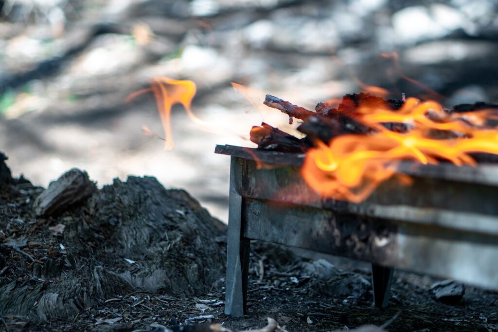
Open fires are strictly regulated and prohibited during high-risk wildfire months, compelling expeditioners to cook exclusively with portable gas stoves. Wild camping is generally permitted in undeveloped areas, provided that Leave No Trace principles are strictly observed and camping near cataloged historical monuments is avoided.
Every stone carved into the rock of Lycia holds the memory of a maritime empire; walking this trail demands the same reverence accorded inside a consecrated temple.
Practical Information and Key Expedition Data
- Approximate Total Distance: 540 kilometers from Fethiye to Antalya.
- Estimated Duration for Full Traverse: 25 to 30 days, depending on pace and rest days.
- Optimal Seasons: March to May and September to November.
- Entry Requirements: Tourist visa depending on nationality and a passport valid for at least six months.
- Air Connectivity: International airports of Dalaman (western trailhead) and Antalya (eastern finish).
- Official Currency: Turkish Lira, with cash recommended for small settlements where credit cards are not accepted.
Conclusion and Legacy of the Route
Completing the Lycian Way stands as one of the most comprehensive hiking and expedition experiences on the Eurasian continent. The combination of solitude on limestone crests, the harshness of the Mediterranean climate, and constant contact with ancient history imbues this route with an unrivaled initiatory character. It is not a test of speed, but rather an exercise in physical endurance and cultural adaptation. Those who manage to descend the final meters toward the coast of Antalya realize that the true essence of the Lycian Way lies in its capacity to connect the contemporary traveler with the purest and most demanding geography of the ancient Mediterranean world.