
Introduction to Europe’s Northern Frontier
In the far north of Europe, where steep mountain ranges plunge dramatically into the freezing waters of the Norwegian and Barents Seas, human mobility ceases to be a mere convenience and becomes a matter of strict survival and territorial cohesion. Norway, a country defined by a capricious topography of deep fjords, frozen plateaus, and thousands of islands, has developed over centuries a uniquely complex transport system that weaves together traditional coastal navigation and a pioneering network of short-takeoff airports. Far from the hyper-connected motorways of continental Europe, life along the Norwegian Arctic coast depends on a delicate balance between seamanship and high-precision aeronautical engineering.
This report examines the logistical backbone that makes habitability and transit possible in northern Norway. From the legendary maritime route that has connected Bergen and Kirkenes for over a century, to the regional short-runway airports known in Norwegian as the Kortbanenett, the Arctic territory demands a deep understanding of natural forces. We will analyze how current shipping lines operate, the crucial role of regional aviation in extreme weather conditions, and practical guidelines for navigating this environment without disrupting its fragile ecosystem.
The Genesis of the Coastal Postal Route and Its Modern Evolution
To understand the transport system of the Norwegian Arctic coast, one must look back to the late 19th century. Before the launch of the world-famous Hurtigruten service in 1893, traveling or sending mail between the south and the remote north of Norway was a monumental endeavor that could take weeks, or be completely disrupted during long, dark winter months. The Norwegian government then awarded the shipping company Vesteraalens Dampskibsselskap the task of establishing a regular maritime route operating year-round, connecting ports that had hitherto been isolated.
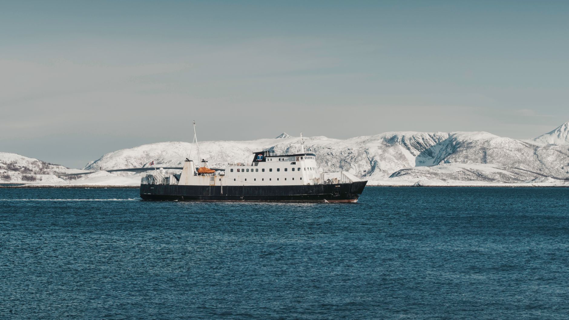
Today, the fleet traversing this ancient route has undergone profound transformation. While maintaining its core identity as a vital supply line for coastal communities—carrying refrigerated cargo, construction materials, and local passengers alike—the experience has diversified with the entry of new operators such as Havila Voyages. Modern vessels combine cargo capacity in specialized holds with cleaner energy efficiency standards, utilizing hybrid propulsion systems powered by liquefied natural gas (LNG) and battery banks to minimize emissions within the fragile fjord ecosystems.

Port Architecture and Coastal Cabotage Logistics
The daily operation of the coastal vessels is a masterclass in logistical precision. Along a route stretching over two thousand five hundred kilometers one way and comprising more than thirty-four ports of call, ships dock at major port cities like Trondheim and Tromsø as well as tiny island settlements where the turnaround time may be measured in mere minutes.
Punctuality on the coastal route is not a commercial luxury, but the invisible thread holding together entire communities where the sea remains the only passable street during the Arctic winter.
Port infrastructure varies radically according to latitude. While southern ports feature hydraulic ramps and heavy-duty cranes, many northern outposts depend on crew expertise and onboard cranes to discharge goods with pinpoint accuracy, often under the pressure of gale-force winds and roaring tides. Transported cargo ranges from essential industrial spare parts for the fishing industry to fresh fish destined for rapid distribution in European markets.
Short-Runway Airports: Engineering Against Topography
If the sea represents the steady, resilient slowness of the north, regional aviation embodies the rapid response to geographical isolation. Created in the 1960s under the political and technical impetus of Widerøe and the Norwegian state, the short-runway airport network (Kortbanenett) radically transformed mobility across regions like Nordland, Troms, and Finnmark.

These airport facilities are characterized by unusually short runways, rarely exceeding eight hundred to one thousand meters in length, perched on windy plateaus, narrow boxed valleys, or small islands. Approaching airfields such as Svolvær, Leknes, or Honningsvåg requires specialized turboprop aircraft—traditionally the reliable De Havilland Canada Dash 8—and pilots trained rigorously in meteorology and specialized navigation.
Arctic Intermodality: When Ship Meets Plane and Bus
Travelers and residents moving through northern Norway do not rely on a single mode of transport, but rather participate in a complex intermodal network where schedule synchronization is critical. In hubs like Bodø or Kirkenes, the transition between the regional airport and the Hurtigruten pier is executed with chronometric precision.
Regional bus routes, managed by local county authorities, complement this framework by connecting interior valleys and secondary fishing communities with primary ferry and aviation nodes. However, Arctic intermodality remains inherently subordinate to climatic unpredictability. A sudden snowstorm can temporarily close a mountain pass (fjellovergang), forcing traffic redirection toward local ferries or postponing connecting flights.
Operational and Meteorological Challenges at the 70th Parallel
Operating transport fleets at such high latitudes imposes severe technical constraints rarely experienced in temperate zones. Sea ice, heavy snow accumulation on decks and runways, the polar night phenomenon, and frequent geomagnetic storms disrupting satellite communications are daily realities for logistics operators.

Coastal vessels are equipped with advanced stabilization systems and ice-strengthened hulls (Ice Class certification), while aircraft incorporate advanced satellite-based approach technology (GPS/LPV) to operate under exceptionally low cloud ceilings and reduced visibility. Continuous crew training in polar emergency simulation is a non-negotiable requirement enforced by Norway’s maritime and civil aviation authorities.
Sustainability and Energy Transition in Arctic Transport
In recent years, environmental pressure on Arctic transport routes has catalyzed profound technological transformation. The Norwegian fjords, protected in many segments by strict environmental regulations such as UNESCO heritage designations (Geirangerfjord and Nærøyfjord), demand zero local emissions during tourist and cargo navigation operations.
Shipping lines have invested heavily in fleet hybridization and the design of vessels prepared to operate on green ammonia and hydrogen in the near future. Concurrently, Norway’s regional aviation sector is actively exploring the electrification of its short-hop fleet, aiming to introduce commercial zero-emission electric aircraft for short routes before the end of the decade.

Practical Information for Navigation and Transit
Planning a journey or logistical transit across northern Norway’s coastal and aerial transport network requires methodological rigor and schedule flexibility. Essential guidelines for safe and effective movement in this territory are outlined below.
Advance booking for vehicles and cabins: Space for cargo vehicles or passenger cars on both coastal line vessels and regional ferries (hurtigbåt) is strictly limited, particularly during summer months and peak fishing seasons.
Non-negotiable schedule flexibility: Arctic weather conditions dictate timetables. Maintaining a buffer of at least twenty-four hours is vital for itineraries involving subsequent international flight connections.
Technical equipment and clothing: Even on short journeys aboard regional ferries or aircraft, sudden temperature drops require windproof and waterproof layering.

Official traffic applications: Utilize local tools like Entur for combined intermodal planning and consult real-time road advisories provided by the Norwegian Public Roads Administration (Statens vegvesen).
The Human and Cultural Value of the Route
Beyond its undeniable technical and economic complexity, Norway’s Arctic transport system is the custodian of a living culture. The captains, engineers, pilots, and ferry operators sustaining this network are depositaries of ancestral knowledge of the land, passed down through generations of polar mariners and aviators.
The true engine of transport in northern Norway lies not merely in the power of its engines or the precision of its instruments, but in the human resilience that daily defies the hostility of the elements.
Each port of call and every landing on a windy airstrip represents an irreplaceable human link for communities that would otherwise be condemned to isolation. Understanding and respecting this transport network is the fundamental key to approaching the true heart of Norway, far beyond traditional tourist postcards.