


In northeastern Italy, the Dolomites rise in stark contrast to the continuous ridges of the central Alpine chain. Here, the landscape breaks into isolated limestone massifs, sheer vertical cliffs, and pale karstic plateaus that dramatically shift tones with the sun’s trajectory. The Alta Via 1 (Dolomite High Route 1) stands as the classic high-altitude itinerary across this mineral sanctuary. Spanning approximately 120 kilometers and requiring over 7,300 meters of cumulative elevation gain, the trail links the crystalline waters of Lago di Braies in South Tyrol to the historic valley town of Belluno, traversing iconic peaks such as the Tofane, Monte Pelmo, and the Civetta.
This trek is not merely an endurance challenge; it offers a direct reading of the region’s stratigraphy and human heritage. Designated a UNESCO World Heritage site in 2009 for their exceptional geomorophology, the Dolomites preserve the fossilized remains of ancient Triassic coral reefs. Trekking the Alta Via 1 means walking across what was once a warm sea basin, now thrust thousands of meters into the sky, while crossing the intact trenches of the grueling mountain warfare fought between Italian and Austro-Hungarian forces between 1915 and 1917.
The Fossil Reef Geology: The Chemistry of Dolomite
The distinctive character of these peaks lies in their petrographic composition. In the late 18th century, French geologist Déodat de Dolomieu discovered that the carbonate rocks of this region exhibited a muted effervescence when exposed to dilute hydrochloric acid compared to standard limestone. The mineral was identified as calcium magnesium carbonate—dolomite—and the resulting rock type was christened dolostone.
During the Middle and Late Triassic, roughly 230 million years ago, expansive marine platforms and coral reefs developed in a warm shallow sea known as the Tethys. Over epochs, biological sediment accumulated, undergoing diagenesis where magnesium ions substituted for calcium in the mineral matrix. The subsequent tectonic collisions of the Alpine orogeny lifted these solid reef structures almost entirely intact, creating vertical towers and horizontal plateaus free from the heavy folding seen elsewhere in the Alps.
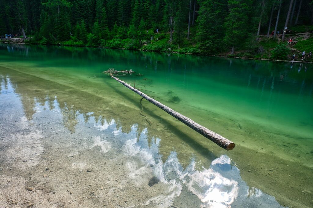
This mineral composition creates the visual phenomenon known locally as enrosadira. During dawn and dusk, the pale dolostone walls absorb and reflect warm red and amber wavelengths, transforming the pale grey rock into a vivid alpine spectacle against deep green spruce forests and high pastures.
The Classic Itinerary: From Lago di Braies to the Southern Ridges
The Alta Via 1 is traditionally divided into nine to eleven stages, accommodating varying paces and detours. Unlike more technical alpine high routes that involve mandatory glacier crossings or extreme exposed climbing, the standard Alta Via 1 avoids mandatory via ferrata sections, offering a sustained, demanding trek suitable for conditioned hikers with competent route-finding skills.
The route commences at the northern shore of Lago di Braies (Pragser Wildsee), nestled at 1,496 meters. Leaving behind the reflective turquoise waters and the towering face of the Croda del Becco (Seekofel), the trail ascends through scree and boulder fields toward Forcella Sora Forno. Beyond this pass, hikers enter the undulating limestone plateau of the Fanes-Sennes-Braies Nature Park, a vast karstic landscape dotted with sinkholes, limestone pavements, and alpine meadows.
Moving southward, the terrain grows increasingly dramatic. The route crosses Passo Falzarego, skirts beneath the sheer cliffs of the Tofane, and traverses beneath the sharp pinnacles of Nuvolau and Averau. Further along, the solitary monolith of Monte Pelmo looms over the horizon before yielding to the awe-inspiring northwest face of the Civetta—a sheer rock wall rising more than one thousand vertical meters that holds legendary status in international mountaineering.
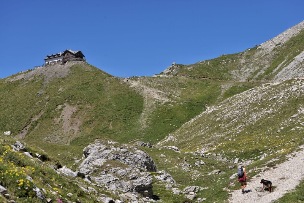
The high route presents a continuous dialogue between the architecture of ancient marine reefs and the remnants of twentieth-century frontline defense.
Traces of the Great War: Lagazuoi and the Alpine Front
One of the most evocative sections of the trail is centered on Piccolo Lagazuoi and the Falzarego Pass. During the First World War, this zone formed a brutally contested sector between the Italian Alpini and the Austro-Hungarian Kaiserjäger. The conflict here was defined not only by machine gun fire and artillery, but by extreme altitude, sub-zero winter temperatures, and catastrophic avalanches.
Because direct overland advances were rendered nearly impossible by fortified cliff positions, both sides engaged in subterranean mine warfare. Military engineers blasted hundreds of meters of tunnels directly through the interior of the peaks, packing cavernous chambers with dynamite to detonate entire summits and wipe out enemy outposts above.
Today, trekkers can traverse the restored Lagazuoi Tunnel, a helical descending gallery spanning more than a kilometer inside the mountain, secured with steel cables. Descending through the dark shaft with a headlamp reveals preserved bunks, storage depots, and machine-gun embrasures, providing an authentic, visceral encounter with high-alpine wartime history.
The Mountain Hut Network: Logistics and Mountain Culture
The structural feasibility of the Alta Via 1 relies on a sophisticated system of high-altitude huts (rifugi), maintained by the Club Alpino Italiano (CAI) and long-established local mountain families. These structures eliminate the need to carry tents or cooking supplies, offering dormitories, private rooms, and hearty regional meals.

Operating a mountain refuge at over 2,000 meters requires meticulous logistical management. Most facilities depend on private cable cars or early-season helicopter supply drops for provisions. Fresh water must be conserved carefully, as rainfall percolates rapidly through the porous karstic rock, leaving high ridges devoid of surface streams.
Key Huts Along the Route
- Rifugio Biella (2,327 m): Situated beneath Croda del Becco, this provides the first essential rest stop after the steep climb from Braies.
- Rifugio Fanes and Lavarella (2,060 m): Nestled in the Ladin cultural heartland, renowned for regional hospitality and panoramic plateau views.
- Rifugio Lagazuoi (2,752 m): Perched on a high summit ridge, offering one of the widest vistas across the Marmolada glacier and the central peaks.
- Rifugio Nuvolau (2,575 m): Constructed in 1883 on a narrow rock outcrop, it stands as the oldest refuge in the central Dolomites.
- Rifugio Coldai and Tissi (2,250 m): Perfectly located directly under the towering vertical northwest wall of Monte Civetta.
- Rifugio Carestiato and Rifugio Pramperet (1,857 m): Guarding the transition into the wilder, less frequented terrain of the Belluno Dolomites National Park.
Ecology and Flora Across Altitudinal Zones
The steep elevation shifts of the Dolomites foster a rich mosaic of habitats. The lower valley floors and subalpine slopes are dominated by dense conifer forests composed of Norway spruce (Picea abies), European larch (Larix decidua), and Swiss stone pine (Pinus cembra), whose deep root systems help stabilize high-altitude scree.
Above 2,000 meters, trees give way to thickets of dwarf mountain pine (Pinus mugo) and open alpine grasslands. In the exposed limestone clefts, rare endemic flora flourishes, including the iconic edelweiss (Leontopodium nivale), the auricula primrose (Primula auricula), and numerous cushion-forming saxifrages engineered to withstand drying winds and ultraviolet radiation.
Wildlife thrives across the protected nature parks along the route. Alpine chamois (Rupicapra rupicapra) and reintroduced alpine ibex (Capra ibex) navigate the highest crags with ease. The distinctive warning calls of alpine marmots (Marmota marmota) echo across high scree fields, while golden eagles (Aquila chrysaetos) and bearded vultures (Gypaetus barbatus) patrol thermal currents above the ridgelines.
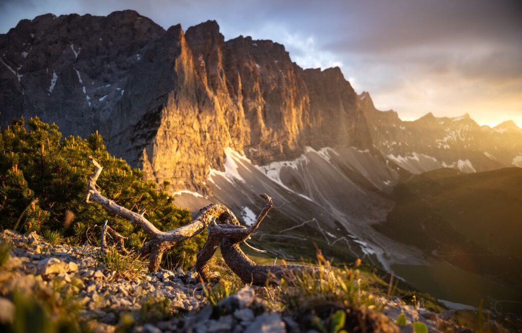
Centuries of rotational alpine grazing alongside formal park protections have preserved a rare equilibrium across these high-altitude pastures.
Practical Trail Planning: Weather, Seasonality, and Gear
The trekking season on the Alta Via 1 is relatively short, typically running from mid-June to late September or early October, coinciding with the operational period of the mountain huts and the thawing of high mountain passes.
In early summer, hikers may encounter persistent snowbanks across high gaps such as Forcella del Lago and Forcella Sora Forno, which may necessitate traction microspikes or sturdy trekking poles. Midsummer brings warmer daytime temperatures, but also a heightened probability of severe afternoon convective thunderstorms with heavy lightning and sudden downpours.
To navigate the trail safely, hikers should adhere to several key preparation standards:
- Advance Booking: Due to international popularity, reserving hut beds several months in advance is essential for summer journeys.
- Pack Weight: Keep pack weight under 10 kilograms within a 30- to 40-liter technical backpack, packing waterproof outer shells, warm mid-layers, and a required lightweight sleeping bag liner.
- Navigation: While the trail is marked with triangular ‘1’ markers, hikers must carry 1:25,000 topographic maps (Tabacco sheets 031 and 03) and a reliable GPS device with backup power.
- Hydration: Water sources on karstic summits are rare; always fill water bottles to capacity each morning before leaving the huts.
Cultural Heritage: The Ladin Heartland
Traversing the northern stages brings hikers through the historical territory of the Ladin people, an ancient Rhaeto-Romance ethnolinguistic group native to the valleys surrounding the Sella Massif. The Ladin language evolved directly from the vulgar Latin spoken by Romanized soldiers and native Rhaetian tribes in antiquity.
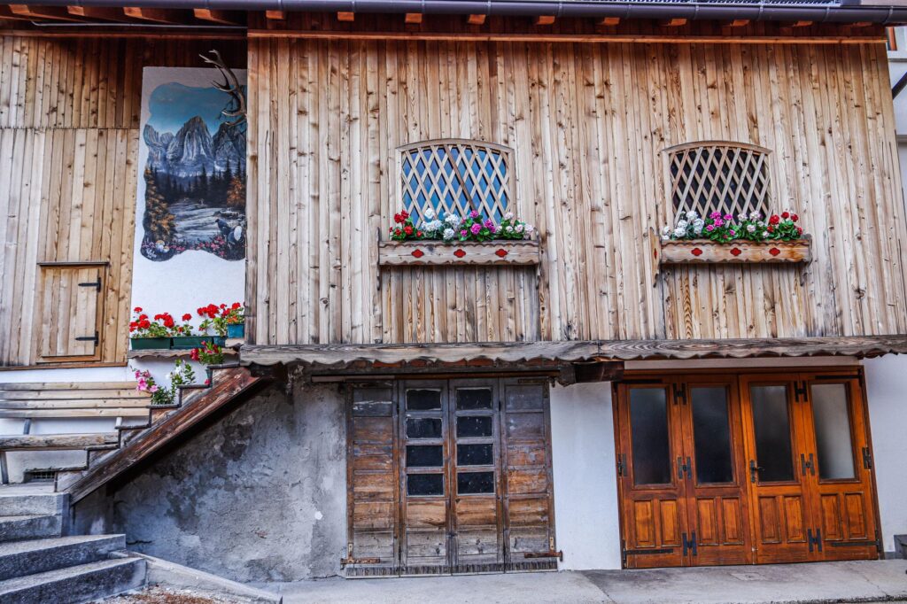
This distinct cultural heritage is visible in the architecture of traditional hamlets (viles)—tightly clustered timber-and-stone farmsteads organized around shared communal infrastructure such as bread ovens and wells. Local mountain menus reflect this mountain subsistence heritage, offering restorative dishes like smoked speck, canederli bread dumplings, spinach-and-beetroot filled casunziei, and slow-simmered barley stews.
The Southern Wilds and Arrival in Belluno
The final southern stages of the Alta Via 1 contrast sharply with the developed northern trails. South of Passo Duran and the Van de Zeda, the route enters the Dolomiti Bellunesi National Park, entering an isolated territory characterized by dense beech forests, knife-edge limestone ridges, and rugged amphitheaters.
Around the towering Schiara massif, hikers must negotiate steep descents through rocky ravines. Hikers who bypass technical via ferratas follow the traditional bypass trails winding down through the Val Cordevole or the Val di Caiada toward La Pissa bus junction or the historic city center of Belluno along the Piave River.
Completing the Alta Via 1 is an encounter with deep geological time, world military history, and resilient Alpine traditions. It remains one of the world’s quintessential mountain journeys, revealing the enduring majesty of Italy’s pale peaks.

