

The Architecture of the Southern Wilderness
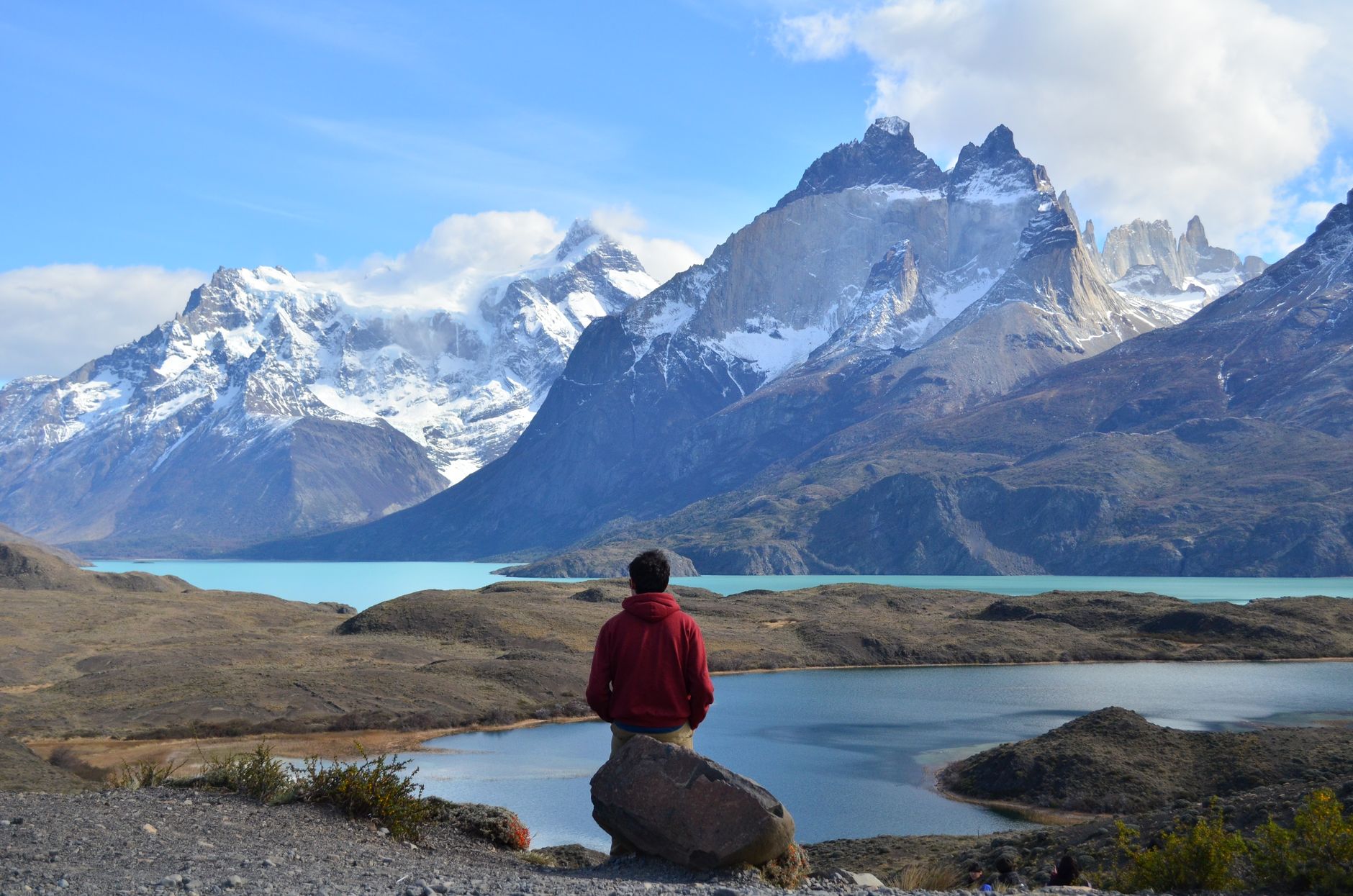
The circuit popularly known as the O Trek in Torres del Paine National Park is not a casual hiking route, but rather a terrestrial navigation test across one of the most volatile meteorological systems on the planet. Located at the southernmost tip of Chile, this itinerary of approximately 140 kilometers demands a profound understanding of Andean orography, where the convergence between the Southern Patagonian Ice Field and Pacific oceanic currents generates drastic weather shifts in a matter of minutes. The traverse circles the Paine massif, a colossal granite bastion sculpted by glacial erosion over millennia, forcing the trekker to self-manage equipment, food rations, and personal safety in the complete absence of cellular coverage and with rescue outposts separated by full days of marching.
Planning an expedition of this magnitude requires discarding any trace of romantic improvisation. Every section of the trail exposes the mountaineer to gale-force winds that frequently exceed one hundred kilometers per hour, capable of knocking down a person weighed down by an expedition pack. Weight management thus becomes an exact science where every superfluous gram penalizes progression across the most exposed mountain passes. This report examines with technical rigor the critical variables required to successfully complete the full loop around the massif, analyzing everything from the selection of high-cut leather boots with waterproof membranes to daily caloric calculations necessary to maintain body homeostasis under temperatures that rarely exceed fifteen degrees Celsius in the height of the southern summer.
The Geography of Granite and Continental Ice
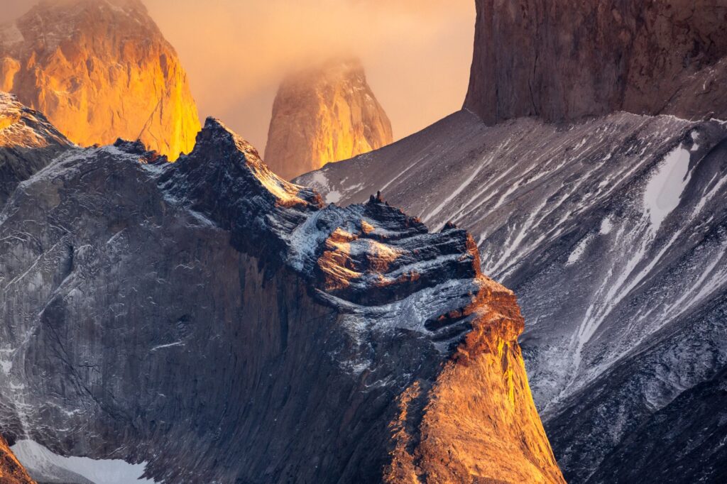
The relief of Torres del Paine National Park is the direct result of plate tectonics and the subsequent action of Quaternary glaciers. The core of the park is formed by laccoliths of gabbro and intrusive granite that emerged from the depths of the Earth’s crust, capped by darker sedimentary layers that give the towers and horns their iconic vertical silhouettes. Understanding this geology is essential for the hiker, as it determines terrain stability and the nature of the surfaces encountered along the trail, which range from unstable glacial moraines, dense forests of southern beech, and water-logged peat bogs that put footwear waterproofing to the test.
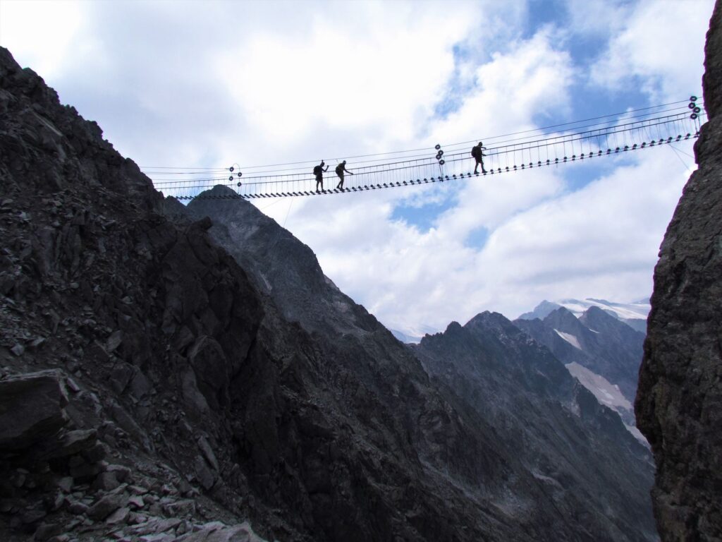
Throughout the valleys that make up the circuit, such as the Silence Valley or the French Valley, progression is conditioned by the presence of rivers fed directly by the melting ice of the Southern Patagonian Ice Field. These watercourses experience sudden surges during warmer afternoons or following intense rainfall episodes, requiring precise knowledge of optimal times for crossings via suspended footbridges or reading currents at authorized park wading sites. Water management, although abundant, is not without biological risks; despite the apparent purity of mountain streams, the presence of feral livestock and wildlife in peripheral areas makes the use of rigorous filtration or chemical purification systems mandatory.
The Patagonian mountain does not reward speed or brute force, but rather the capacity for adaptation in an environment where geological and climatic rules change without warning.
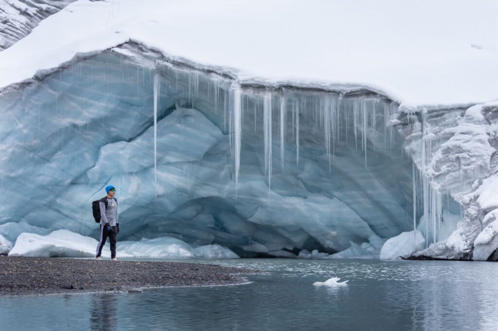
The ascent toward John Gardner Pass, the culminating point of the O route at over twelve hundred meters above sea level, constitutes the most demanding test of the expedition. From this natural vantage point, the trekker gazes out at the immensity of Grey Glacier, a colossal river of ice stretching toward the horizon and dissolving into the arms of the eponymous lake. In this sector, exposure to catabatic winds descending directly from the continental ice sheet turns every step into an exercise in balance and mental focus. The proper fixing of trekking poles and the use of windproof layering systems with high-performance technical membranes are crucial factors here to prevent hypothermia induced by wind chill.
Camp Logistics and Self-Sufficiency in Remote Areas
Unlike traditional circuits in Europe or North America, Torres del Paine National Park operates under strict conservation regulations that prohibit wild camping and demand advance reservations for every designated campsite, managed both by the National Forestry Corporation (CONAF) and private concessionaires. Supply logistics must be calculated with millimeter precision, as refuges situated along the eastern and central routes offer provisioning services, but northern campsites such as Los Perros or Dickson operate under absolute self-sufficiency, requiring mountaineers to carry their own structural tents, high thermal-insulation sleeping pads, and independent cooking systems.
Waste management is another fundamental pillar for the preservation of this fragile Patagonian ecosystem. Park regulations strictly prohibit the accumulation or burial of any type of waste, forcing expedition members to carry specific dry bags to pack out all garbage, including organic scraps, to authorized collection points at park entrance gates. Likewise, the use of cooking fuel is strictly limited to gas stoves in designated areas to prevent forest fires—a historical catastrophe that has severely punished the park’s vegetation cover in past decades and keeps park rangers on constant operational alert.
Technical Equipment for Extreme Conditions
- Layering System: Mandatory use of merino wool thermal underwear, high heat-retention synthetic mid-layers, and a three-layer waterproof breathable shell jacket.
- Mountain Footwear: High-cut boots with high-traction soles and water-repellent treatments, broken in well in advance to prevent blisters on extended marches over wet rock.
- Navigation Systems: Two-way satellite GPS communication device, physical topographic maps printed on waterproof paper, and a calibrated magnetic compass.
- Emergency Kit: High-density thermal blanket, advanced first aid kit with altitude sickness and muscle injury medication, and rapid repair tools for tents and backpacks.
Safety and Protocols in the Face of Southern Emergencies
The geographical isolation of Torres del Paine from Chile’s major urban centers makes accident prevention the highest priority for any sensible mountaineer. Search and rescue operations within the park are coordinated by park rangers in collaboration with specialized carabiner teams and emergency brigades, but evacuation operations can be delayed for hours or even days if weather conditions prevent helicopter flights or ground travel along flooded roads. For this reason, purchasing travel and high-mountain rescue insurance that explicitly covers trekking activities in remote areas is not a secondary option, but a fundamental administrative and prudential requirement.
Before beginning the traverse, all visitors must register at CONAF offices, presenting a detailed itinerary, confirmed campsite reservations, and a verified emergency contact. This registration allows authorities to monitor operations and trigger search protocols if an expedition member fails to report their arrival at the next checkpoint within the established timeframe. Maintaining calm, conserving energy inside a refuge or tent if caught off guard by a sudden storm, and knowing how to use emergency whistles and signaling devices are life-saving skills when the southern wilderness decides to show its most unforgiving face.
Practical guide
How to Get There: The natural entry point to Torres del Paine National Park is the city of Punta Arenas, which features daily air connections from Santiago de Chile. From Punta Arenas, travelers must take a long-distance bus to Puerto Natales (approximately a three-hour journey) and from there connect with regular daily bus services operating toward the Laguna Amarga or Pudeto entrance gates during the summer season.
When to Go: The official trekking season runs from November through March (southern spring and summer). During these months, daylight hours are maximized (up to sixteen hours daily) and temperatures are milder, though wind remains a constant factor. Expeditions outside this seasonal window require special authorizations and an extreme level of winter self-sufficiency.
Permits and Reservations: Campsite pitches along the W and O circuits must be reserved months in advance through the official platforms of concessionaires and CONAF. Attempting to complete the route without confirmed reservations at mandatory campsites results in immediate expulsion from the park and severe financial penalties.
Currency and Payments: The official currency is the Chilean Peso (CLP). While credit cards are accepted at main park gates and refuges, carrying sufficient cash in local currency is strongly recommended to pay minor fees, internal catamaran transport services, or acquire minor supplies in base villages.
The true measure of a successful expedition in Patagonia is found not in the photographs taken on mountain peaks, but in the absolute respect shown toward a territory that always imposes its own terms.
The Definitive Silence of the Southern Forests
When the march concludes and the bustle of the main trails fades away, what truly endures in the traveler’s memory is the quality of silence inhabiting the park’s most secluded corners. Sitting sheltered within an ancient forest of southern beech trees twisted by the wind, observing the low-altitude flight of an Andean condor silhouetted against the intense blue of the granite walls, and listening to the distant cracking of an ice block breaking away into the milky waters of a glacial lake are experiences that transform one’s perspective of time and space. In that instant of absolute communion with the southern wilderness, the accumulated effort in one’s legs and the tension of difficult steps dissolve into a profound sense of gratitude and respect for the untouched immensity of the Patagonian land.


