
Conquering the Cordillera: When the Switchback Defies the Abyss
Few civil engineering works in the Americas possess the epic narrative and topographical complexity that define Peru’s Central Railway, historically known as the Northern Trans-Andean Railway. Conceived in the second half of the nineteenth century under the visionary guidance of Polish polymath Ernest Malinowski and materialized with multinational labor, this alignment represents one of the most memorable milestones in global transportation history. Departing from the constitutional port of Callao, the convoy embarks on an unrelenting ascent that elevates it to 4,781 meters above sea level at the Ticlio station within just a few hours of travel. This is not merely a rail line designed to connect two disparate geographic points; it is an authentic marvel of applied physics capable of breaching the imposing wall of Peru’s western Andean cordillera.
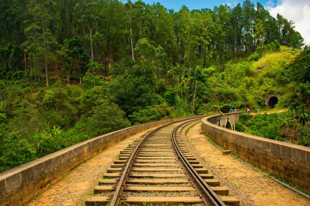
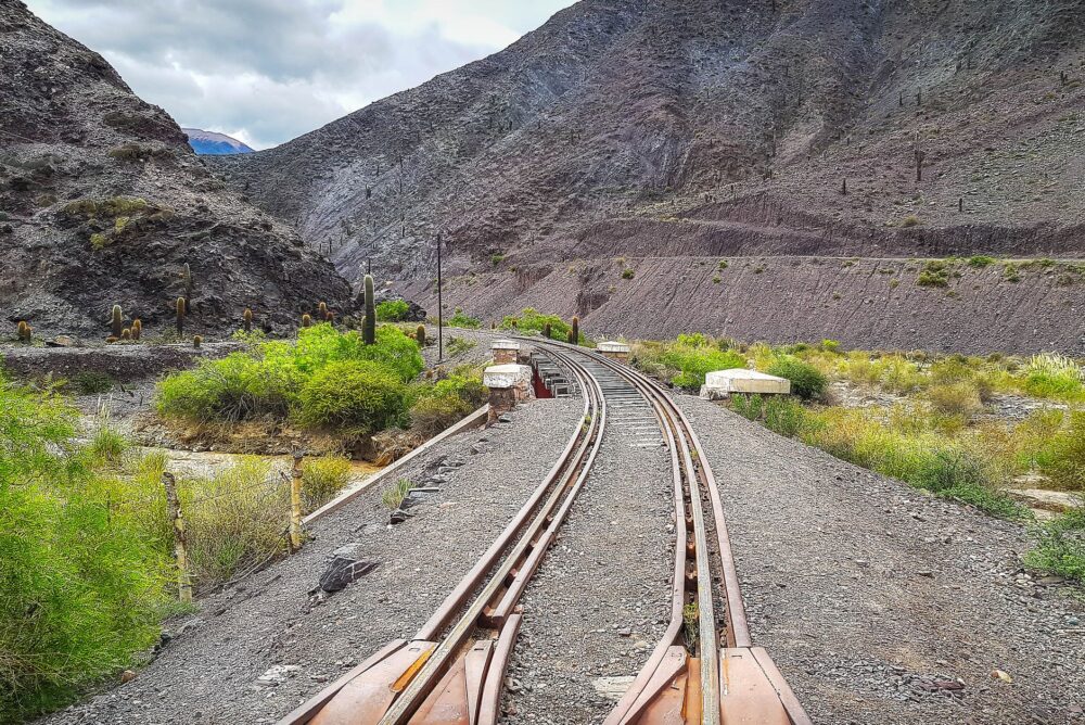
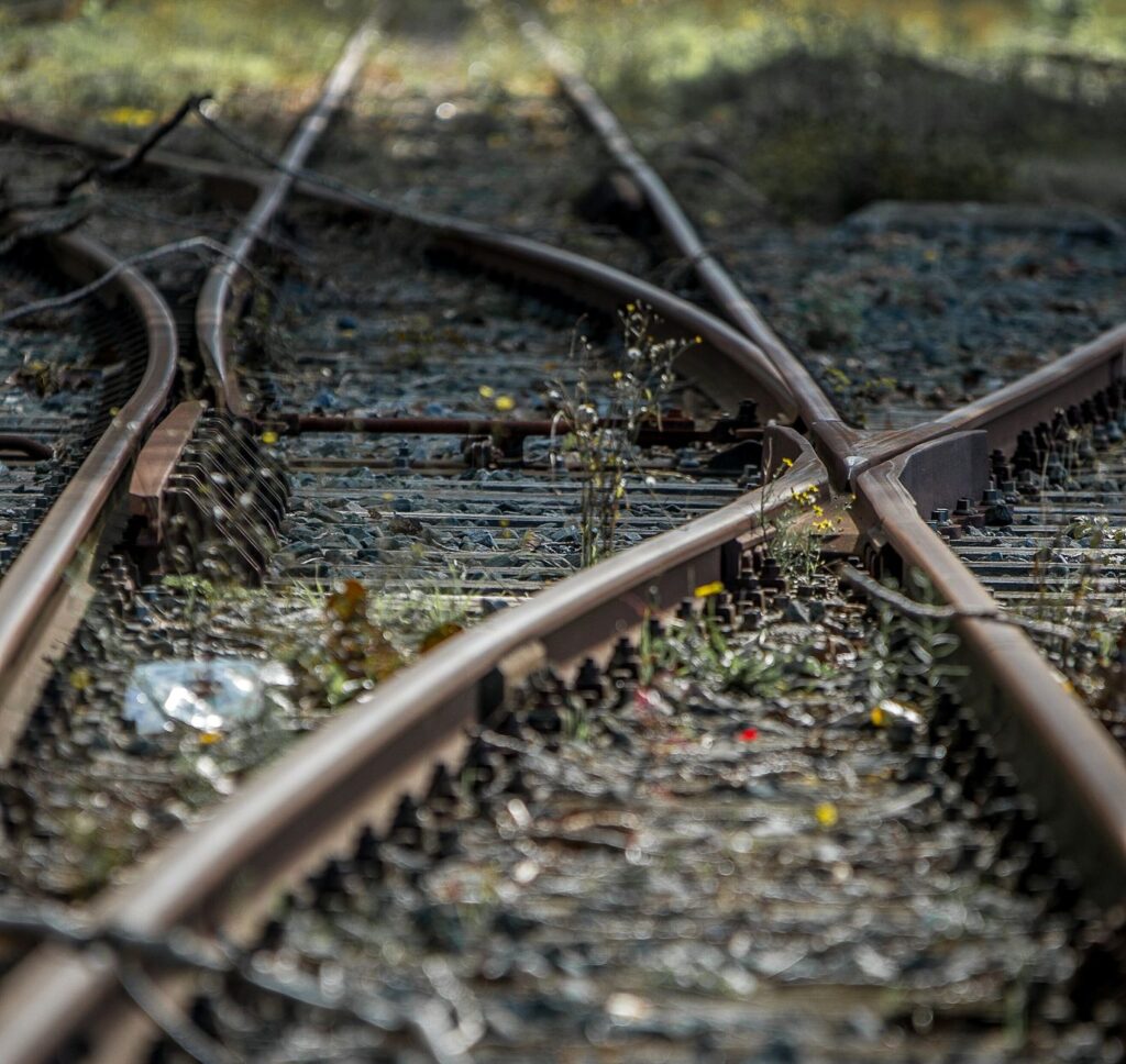
The necessity for this route arose not from aesthetic whims, but from an urgent and inescapable economic and logistical imperative: connecting the rich mineral deposits of the central altiplano with maritime export markets. The extraction of copper, silver, and zinc demanded a high-capacity route capable of replacing the mule trains that frequently perished from altitude sickness or plunged into abysmal ravines along narrow horse trails. Nineteenth-century engineers confronted a landscape where horizontal terrain is a geological anomaly. To solve this colossal challenge, the alignment resorted to an innovative design featuring dozens of hand-carved tunnels in solid rock, dizzying bridges spanning fathomless chasms, and a system of switchbacks or zigzags enabling locomotives to gain elevation on impossible slopes where conventional turning radii would be entirely unexecutable.
The railway is not a scar upon the mountain, but the metallic pulse that successfully integrated a territory fragmented by inaccessible peaks.
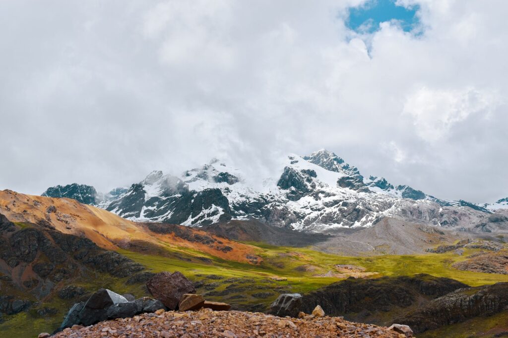
Throughout its historical trajectory, this railway has demonstrated that high-mountain logistics require both mathematical precision and a profound understanding of Andean meteorology. Mudslides locally known as huaycos, rockfalls triggered by seasonal rains, and a critical scarcity of oxygen above four thousand meters transform every journey into an operation of rigorous technical precision. Current crews, heirs to a long railway tradition, operate under strict communication protocols and preventive maintenance schedules to ensure the supply chain remains unbroken, cementing this route as a vital link that still competes with and complements modern highway infrastructure.
Iron Architecture on the Roof of the World
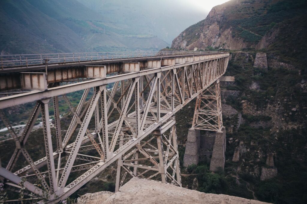
The architectural and industrial heritage flanking the tracks of the Central Railway functions as an open-air museum documenting the construction audacity of the Victorian era adapted to the extreme conditions of the puna. Metal bridges prefabricated in Europe, transported on the backs of beasts or in carts along infamous trails, continue to support heavy train formations after over a century of continuous service. Iconic structures like the Verrugas Bridge—famous in its time both for its lattice girder engineering and the ravages of the namesake fever that decimated workers during its construction—exemplify the symbiosis between British design and American determination. Every rivet, every wrought-iron beam, and every ashlar masonry retaining wall erected on steep slopes reveals an absolute mastery of statics and materials science.
The railway trace also stands out for its organic integration into the urban and rural landscape of the inter-Andean valleys. Upon leaving the arid coastal strip of Callao and crossing Lima, the train meanders parallel to the Rímac River, a capricious watercourse dictating the rhythm of the climb. In this initial segment, the track traverses zones of dense agricultural and suburban activity before plunging into narrow gorges where the canyon tightens dramatically. Intermediate stations, constructed with solid masonry walls and gabled roofs designed to withstand hail and snow, act as community milestones. Far from being mere logistical stops, these enclaves historically functioned as the economic lungs of isolated hamlets, facilitating the exchange of high-altitude agricultural products with manufactured goods arriving from the capital.
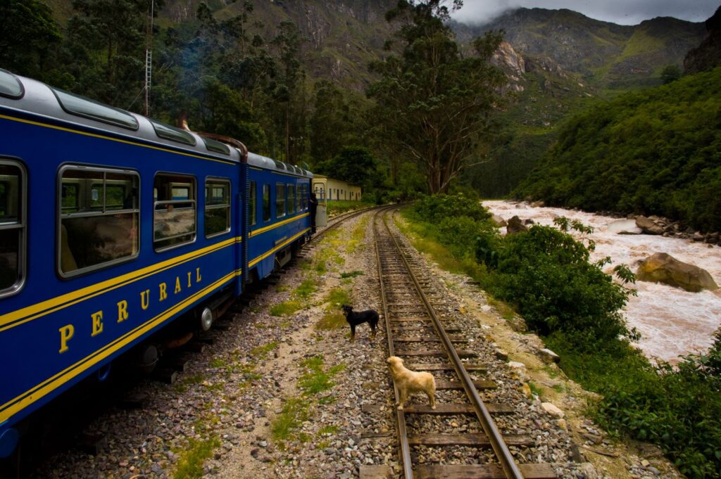
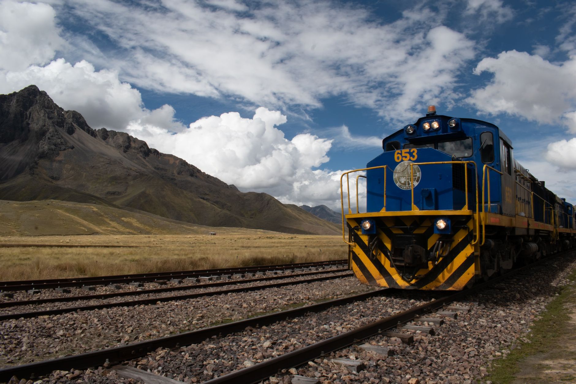
The technical challenge lay not only in climbing, but in engineering a braking and traction system capable of supporting descent with heavy loads without suffering catastrophic structural fatigue. The progressive introduction of higher-powered locomotives—from iconic steam engines to modern diesel-electric units adapted for lower oxygen concentrations—has transformed operations without altering the essence of the route. Maintenance workshops located at strategic points along the itinerary operate as mechanical fortresses where machinists and fitters repair components subjected to severe wear from mineral dust, low nighttime temperatures, and the abrupt thermal variations characteristic of the cordillera.
Mining Logistics and Socioeconomic Connectivity
Comprehending the viability and persistence of the Central Railway requires analyzing its irreplaceable role in the supply chain of Peru’s mining sector. Large extractive corporations established in the central region of the country depend on this infrastructure to evacuate tons of metal concentrates to Callao maritime terminals efficiently and with a carbon footprint considerably lower than that of road freight transport. The freight capacity of a single train equals dozens of heavy-duty trucks, significantly alleviating congestion on the Central Highway, a saturated route vulnerable to prolonged weather disruptions. This logistical efficiency turns the railway into a strategic buffer for the national economy.
Nevertheless, the railway’s impact extends far beyond the ledger books of mining corporations; it constitutes a fundamental lifeline for local populations. In numerous rural communities where roads become impassable during the rainy season, the passage of the passenger train or mixed railcars represents the sole secure link to health clinics, secondary schools, and regional markets. Commercial exchange of native potatoes, high-altitude tubers, wool, and handicrafts finds an economical and predictable distribution channel in the rail system. This social connectivity counteracts the geographic isolation that has historically affected communities on both the eastern and western slopes of the cordillera.
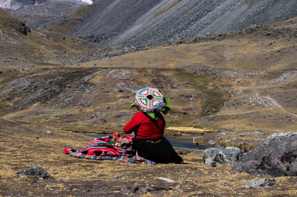
The true measure of this work is not calculated solely in tons of mineral transported, but in the social connectivity that keeps high-Andean communities alive.
Current operational challenges are substantial. Fierce competition with truck transport, investments required for signaling modernization, and the renewal of century-old bridges raise questions about the long-term future of the infrastructure. However, technical audits agree that investment in railway maintenance is indispensable not only for economic reasons, but for national security. The resilience demonstrated in the face of recent natural disasters confirms that the railway possesses a recovery capacity superior to that of paved highways, which frequently suffer irreparable structural damage following a seismic event or a major mudslide.
Practical guide
How to get there and departure points: The historical starting point is Desamparados Station in the Historic Center of Lima, although regular long-distance passenger operations run on specific dates organized by the private operator Ferrocarril Central Andino. It is essential to consult the annual calendar of tourist departures, as regular scheduling focuses predominantly on freight.
Best time to travel: The dry season, spanning from May to October, offers the most stable weather conditions to enjoy the landscape without the interference of torrential rains or dense mountain mists. The austral summer months (December to March) feature frequent precipitation and an elevated risk of landslides.
Acclimatization and health: Given that the train exceeds 4,700 meters above sea level in a matter of hours, the risk of developing soroche (altitude sickness) is extremely high. It is recommended to spend at least two nights in Lima or in moderate altitude valleys (such as Chosica or Matucana) before boarding the full journey, remain hydrated, and avoid heavy meals.
Alternative transport logistics: For travelers interested in independently documenting the route, it is possible to follow the railway alignment concurrently via the Central Highway (Peaje 22 or National Route 22), utilizing interprovincial bus services connecting Lima to Huancayo, though with inherent risks of traffic congestion and route closures.
Recommended lodgings along the route: While hotel options are scarce in high-mountain stations like Ticlio, localities such as La Oroya and the city of Huancayo feature traditional guesthouses and functional hotels equipped with basic heating and emergency medical assistance.
Photographic and luggage precautions: Camera batteries and mobile devices discharge extremely rapidly due to low temperatures at high altitudes. Carrying spare batteries and layered warm clothing is strongly advised, alongside broad-spectrum sunscreen and dark sunglasses due to intense UV radiation on the puna.
The Metallic Pulse in the Vastness of the Puna
When the final ray of sunlight dissolves behind the snow-capped peaks of the western cordillera, the distant echo of the locomotive’s horn resonates through the gorges as a reminder of human persistence in the face of geographic adversity. Traveling through or studying the history of Peru’s Central Railway is to understand that major transportation projects not only reshape a nation’s economic geography, but weave an invisible web of collective memory and resilience. In every treated wooden tie, in every weather-beaten bolt, and in the weathered gaze of engineers peering down the track through the mists of Ticlio, there subsists the tangible testimony that human audacity and engineering can challenge the apparent limits of the planet.