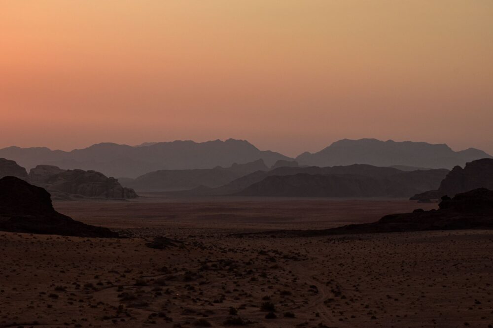

Introduction to Northern Australian Isolation
Australia’s deep north conceals territories where geography enforces its own rules, far removed from the paved highways and sprawling railway networks of the southern mainland. About eighty kilometers north of Darwin, crossing the treacherous and biologically rich waters of Clarence Strait, the Tiwi Islands archipelago emerges as a stronghold of biodiversity and ancestral culture. Comprising principally two inhabited landmasses, Bathurst and Melville, this territory faces daily connectivity challenges that test logistical engineering and the resilience of local communities. Here, transport is neither a recreational amenity nor a tourist luxury; it is the indispensable umbilical cord sustaining the health, education, and provisioning of over two thousand residents, the vast majority belonging to the Indigenous Tiwi nation.
Understanding mobility dynamics in this environment requires looking beyond conventional maps to engage with the reality of an ecosystem dominated by monsoons, impenetrable mangrove swamps, and extreme tides. The absence of a physical bridge connecting the archipelago to the Australian mainland has forced the evolution of a hybrid insular transport system. This model combines high-frequency regional aviation with specialized heavy cargo vessel fleets capable of navigating unpredictable marine currents and abrupt low tides. Throughout this report, we examine how these lifelines operate, the technical challenges faced by local operators, and how logistical planning dictates daily life in the communities of Wurrumiyanga, Milikapiti, and Pirlangimpi.
The Aerial Backbone: Regional Aviation in Clarence Strait
The fastest and most consistent route bridging the gap between Darwin and the Tiwi Islands is the air bridge operated by specialized bush-airline carriers. Companies such as Fly Tiwi operate daily passenger and mail services connecting Darwin International Airport with the airstrips on Bathurst and Melville islands. These flights, typically conducted using twin-engine turboprop aircraft like the Cessna 402 or similar models, operate under strict weather windows, particularly during the wet season when tropical storms and cyclones batter the region with gale-force winds and torrential downpours.
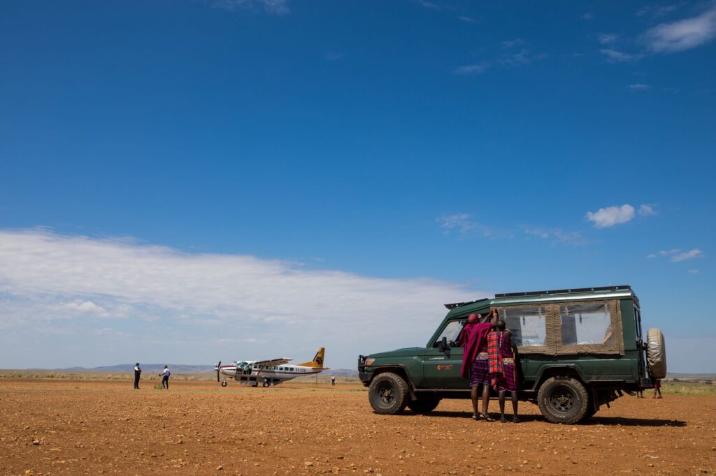
Local aerodromes lack major airport infrastructures, jet bridges, or duty-free shops. Instead, they consist of compacted gravel airstrips, some with light paving, surrounded by eucalyptus savannas and wetlands frequented by local fauna. Managing these facilities requires meticulous coordination among pilots, local authorities, and emergency medical services. For a resident requiring specialized care in Darwin hospitals, the reliability of this air corridor represents the margin between life and death. Similarly, fragile cargo such as vaccines, biological samples, and urgent mechanical spare parts invariably travel in the hold of these aircraft, making civil aviation the central nervous system of the archipelago.
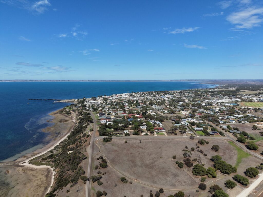
Aviation in the tropical north does not respond to conventional commercial logic; it is an essential service where every takeoff symbolizes community continuity against oceanic isolation.
Beyond passenger transport, aviation logistics faces the constant challenge of maintaining aircraft in highly corrosive environments. Marine salinity, combined with high temperatures and tropical humidity, accelerates wear and tear on airframes and avionics components. Technical teams must perform rigorous, scheduled maintenance in Darwin hangars, rotating aircraft with surgical precision to prevent prolonged disruptions in weekly schedules. This reliance on light aviation underscores the inherent vulnerability of isolated island territories, where any disruption in aviation fuel supply or certified pilot availability can temporarily paralyze overall connectivity.
The Barge Route: Heavy Logistics and Maritime Provisioning
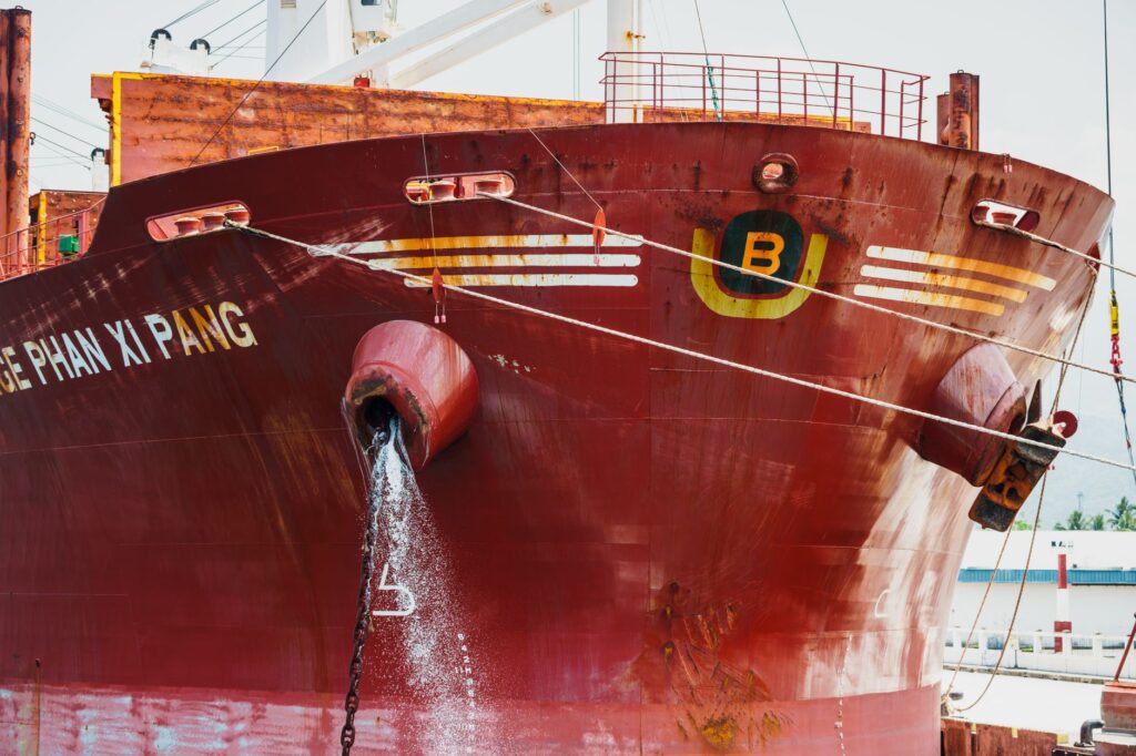
If light aviation carries urgency and the human element, maritime transport sustains the material economy of the Tiwi Islands. Each week, general cargo vessels and ramp-equipped landing craft depart from Darwin’s commercial port carrying everything from construction materials, four-wheel-drive vehicles, and heavy machinery to refrigerated containers filled with fresh produce for local stores. This marine fleet is managed by private operators in close collaboration with community councils and Indigenous corporations, ensuring freight rates and schedules reflect the real needs of the settlements.
Navigation in the Arafura Sea and the channels separating the islands is fraught with operational hazards. Tides in this zone can exceed six meters of difference between high and low water, generating exceptionally violent water currents winding through estuaries and sandbars. Barges must time their arrivals and departures with mathematical exactness, utilizing high-tide windows to beach in a controlled manner on the concrete ramps of Wurrumiyanga or discharge onto temporary floating platforms. A miscalculation in tide tables can leave a vessel stranded for hours, disrupting supply chains and generating significant logistical overheads.
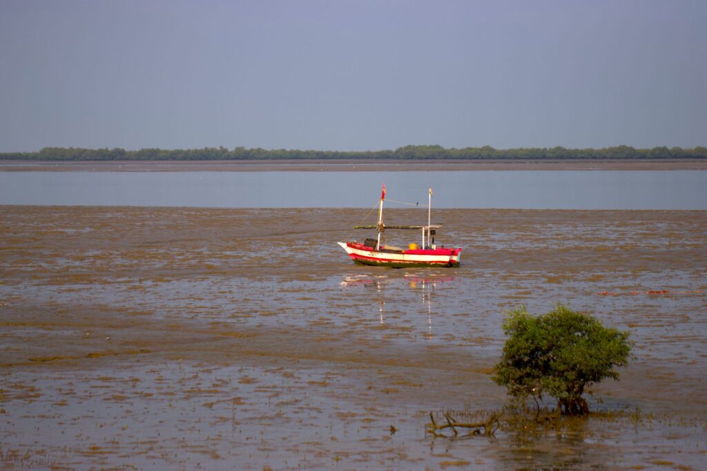
Heavy cargo transport also supports key local industries, such as sustainable forestry and commercial fishing, which operate in designated zones across the islands. Barges not only bring supplies into the archipelago but evacuate timber products and industrial inputs toward the mainland, closing a bidirectional economic cycle. Nevertheless, port infrastructure on the islands remains modest. Docking facilities require periodic dredging to combat sedimentation caused by monsoonal currents, highlighting the ongoing effort required to keep these routes open and safe.
Insular Road Infrastructure and Local Mobility
Once goods and passengers disembark on Bathurst or Melville, the transport challenge shifts to the network of secondary roads and forest tracks interconnecting the communities. Unlike mainland road networks, a large portion of routes on the Tiwi Islands are stabilized dirt tracks suffering severe structural damage during the wet season. Heavy vehicle traffic and water erosion carve deep ruts and gullies that impede standard passenger cars, making four-wheel-drive capability mandatory.
Local inhabitants’ daily mobility relies on a mixed fleet of pickup trucks, community school buses, and all-terrain vehicles managed by local organizations. These vehicles enable not only travel between coastal communities but also access to traditional hunting and gathering grounds and sites of cultural significance. Island authorities continually invest in embankment consolidation, the installation of reinforced culverts to withstand sudden flash floods, and the grading of critical sections with crushed gravel to reduce the temporary isolation experienced by some localities during peak rainfall months.
Maintaining this road network represents a considerable budgetary and technical challenge. Geographically isolated, heavy civil engineering machinery, aggregates, and asphalt must be transported by sea from Darwin, significantly increasing the cost of any infrastructure improvement project. Despite these limitations, internal ground connectivity has improved noticeably over the past decade, facilitating educational service integration, labor mobility, and public health emergency response across the entire insular territory.

Climate Challenges and Seasonal Adaptation
The rhythm of life and transport on the Tiwi Islands is inexorably dictated by the tropical monsoonal climate, locally known as the wet and dry seasons. Between November and April, the region experiences high humidity, massive thunderstorms, and the constant threat of tropical cyclones that can completely disrupt the operability of both airstrips and maritime ports for several consecutive days.
Faced with this scenario, logistical planning demands a high degree of redundancy and strategic stockpiling. Grocery stores, pharmacies, and public utility centers on the islands maintain reserves calculated to withstand prolonged periods of forced isolation should weather conditions prevent barge arrivals or scheduled flights. Civil protection protocols, closely coordinated with the Northern Territory government, establish rigorous contingency plans to ensure the preventive evacuation of vulnerable populations when a severe category cyclone threatens a direct strike on the archipelago.
This scenario of extreme climate variability compels transport engineers and logistical operators to innovate continually. High-resolution satellite weather prediction systems, oceanographic buoys measuring currents and tides in real time, and satellite communication protocols are employed to ensure the archipelago is never entirely cut off, even when terrestrial power lines or conventional telecommunications towers suffer damage from monsoon winds.
Practical guide
How to get there: Primary access to the archipelago is from Darwin International Airport via charter flights or scheduled services operated by authorized regional airlines. No passenger ferry connections for regular tourists exist from the mainland; maritime traffic is almost entirely reserved for commercial freight and residents.
Access requirements: The Tiwi Islands are private Aboriginal lands under the administration of the Tiwi Land Council. Visiting for tourism or professional purposes requires obtaining an entry permit formally issued by the council prior to planning any travel.
Best time to visit: The dry season, spanning from May to October, offers the most stable weather conditions with clear skies, calmer seas, and passable roads. The wet season (November to April) presents severe mobility restrictions due to tropical storms.
Accommodation and services: Commercial tourism infrastructure is extremely limited and heavily regulated. Visitors traveling for cultural or research purposes typically stay in authorized facilities in Wurrumiyanga, upon coordination with accredited local operators.
Internal mobility: Traversing the islands requires four-wheel-drive vehicles and explicit authorization to travel along community and forest tracks. Accessing sacred sites or restricted beaches without the guidance of a traditional custodian is strictly prohibited.
Communications: Mobile phone coverage is available in major hubs like Wurrumiyanga, but can be intermittent or nonexistent in remote areas of the islands. Satellite communication devices are recommended for work or research expeditions.
The Human Pulse of Isolation and Cultural Continuity
Beyond the figures of transported tonnage, flight schedules, and tide tables, the logistical network of the Tiwi Islands sustains one of Australia’s most vibrant and best-preserved Indigenous cultures. Art, ceremonies, language, and spiritual connection to the land depend directly on maintaining a steady flow of people and resources between the archipelago and the mainland. When a barge docks with materials to restore a cultural center or when a medical flight evacuates an elder for healthcare, the true human dimension of transport in oceanic confines becomes manifest.
The resilience of the Tiwi nation in the face of geographic isolation demonstrates that modern connectivity is measured not solely by speed or luxury, but by its capacity to respect the natural rhythms of the environment and preserve the identity of its inhabitants. In this labyrinth of mangroves, tides, and open skies, every completed journey stands as a testament to adaptation and mutual respect between logistical engineering and the ancestral wisdom of an indomitable people.