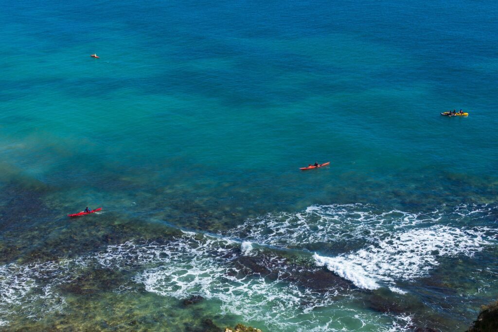
The Gulf of California, described by Jacques Cousteau as the aquarium of the world, stretches along the Baja California peninsula like a narrow wedge of cobalt blue water flanked by red volcanic mountain ranges. Within this marine ecosystem, the coastal and insular route running from the Espiritu Santo archipelago to the Loreto Bay National Marine Park constitutes one of North America’s most demanding and rewarding expedition sea kayaking itineraries. The voyage requires meticulous planning: with no reliable freshwater sources on most islands and long stretches of sheer cliffs where emergency landings are impossible, paddlers must operate under a strict doctrine of self-reliance.
Covering approximately 150 nautical miles, the journey unfolds between the silence of the desert and the constant presence of pelagic wildlife. The combination of seasonal wind patterns, strong currents in inter-island channels, and a coastal landscape carved by tectonic forces turns this route into an active masterclass in geography, oceanography, and seamanship.
A Marine Sanctuary Between Desert and Abyss
The origin of the Sea of Cortés traces back to tectonic rifting that began separating the Baja California peninsula from mainland Mexico roughly five million years ago. This geological opening formed a deep basin where Pacific ocean water enters to be transformed by intense solar radiation and evaporation, creating unique circulation patterns. The bathymetry drops steeply to depths exceeding one thousand meters just off the coast, driving nutrient-rich upwellings that sustain intricate food webs, from dense phytoplankton blooms to giant baleen whales.
For the sea kayaker, this setting presents a dynamic environment. The placid, glass-like waters of sheltered coves can transform within hours into substantial seas when northern air masses channel their force down the length of the gulf. The near-total absence of human development along the coast between San Evaristo and Agua Verde amplifies the scale of the landscape, imposing a daily rhythm dictated by daylight, sea state, and weather updates received via satellite communicators or marine VHF radio.
Reading the Wind: Currents, Tides, and Northern Gales
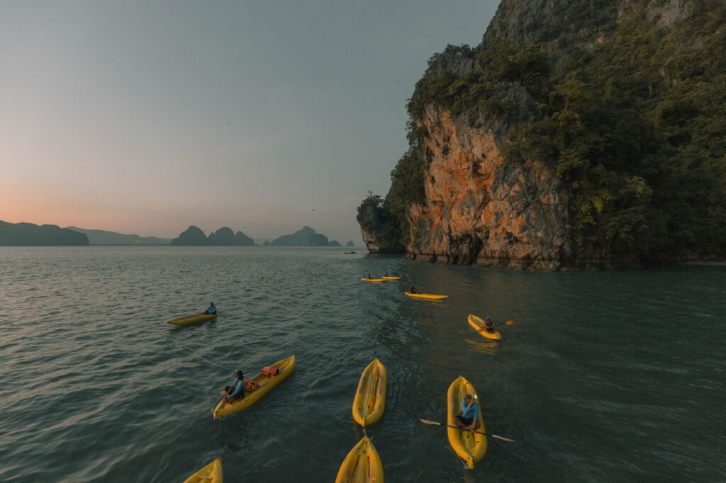
Understanding local meteorology is the single most critical technical skill on this expedition. During winter and early spring, the dominant weather factor is the northerly wind, known locally as «los nortes.» These systems blow steadily for three to five consecutive days, gusting between 25 and 35 knots and creating steep, short-period waves. Attempting to make head-way or paddle beam-sea against these winds in a kayak loaded with 40 kilograms of gear and water is a dangerous error that frequently leads to capsizes or severe fatigue.
Additionally, localized evening winds known as the «Coromuel» can blow out of the southwest, offering brief windows of calm during the early morning hours. Precise knowledge of tide tables and anticipating thermal wind shifts determine the daily paddling window across the Sea of Cortés. Calculating tidal currents is equally vital when crossing open channels, such as the San Lorenzo Channel or the San José Channel, where water funnels between landmasses, generating lateral drifts exceeding two knots.
From Espiritu Santo to Isla Partida: Crossing the Threshold
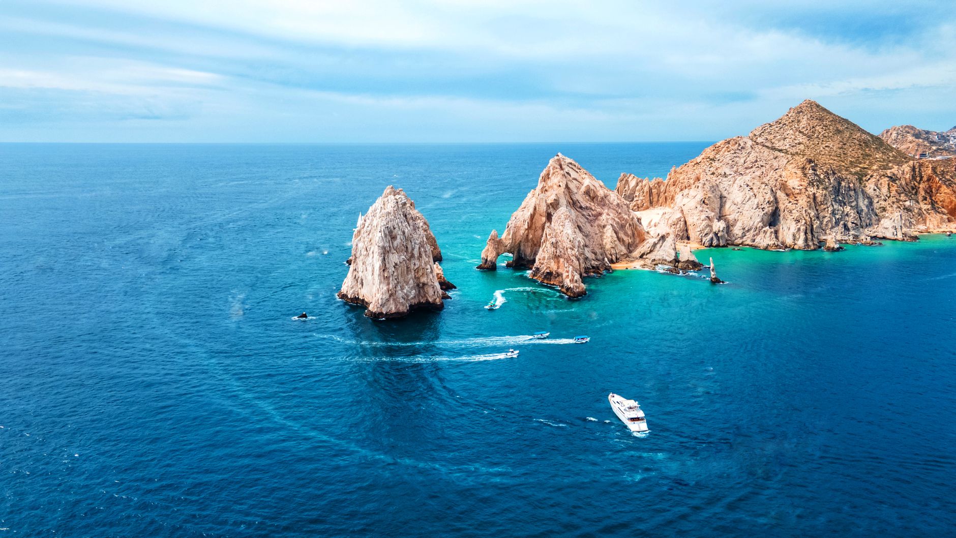
The standard launch point for this long-distance journey is the Bay of La Paz or the beach at Playa Tecolote, from which paddlers execute the open-water crossing of the San Lorenzo Channel toward the southern tip of Isla Espiritu Santo. Protected as a UNESCO World Heritage site and National Park, the island’s western coastline is carved with deep, turquoise bays such as Ensenada Grande, Candelero, and Partida, bounded by steep ignimbrite and basalt canyons.
Passing through the natural divide between Isla Espiritu Santo and Isla Partida—a shallow sandbar channel that dries at low tide—marks the true beginning of wilderness isolation. Heading north, Isla Partida’s coastline features vertical cliffs dropping directly into the sea, requiring paddlers to keep a safe offshore distance to avoid wave reflection and turbulent clapotis. At Los Islotes, on the archipelago’s northern tip, a resident colony of California sea lions (Zalophus californianus) inhabits the rocky outcroppings. Interacting with these marine mammals requires distance and restraint, particularly during breeding season when territorial bulls actively patrol the reef edge.
Navigating San José Island: Self-Reliance along the Northern Passage
Leaving the Espiritu Santo archipelago behind, the route crosses the channel to Cabeza de Rubia and the coastline of San Evaristo, a small fishing and salt-mining hamlet that provides one of the last opportunities to replenish drinking water before entering the most isolated segment of the trip. From here, the terrain grows increasingly rugged as the route parallels Isla San José, the sixth-largest island in Mexico, which forms the sheltered San José Channel along the mainland.
Expedition sea kayaking in the Sea of Cortés is not merely a physical endeavor; it is a exercise in rigorous freshwater management and reading geological shadows.
Along this stretch, kayak carrying capacity becomes the ultimate constraint. Each paddler must carry a minimum of four to five liters of water per day of expected travel, plus an additional three-day emergency reserve in case of being windbound on a remote beach. Packing a kayak requires placing the dense weight—water bladders—deep in the bilge and directly over the keel line, carefully adjusting longitudinal trim so the bow does not catch crosswinds.
Agua Verde and the Sheer Cliffs of Sierra de la Giganta
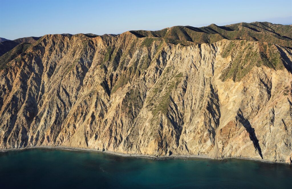
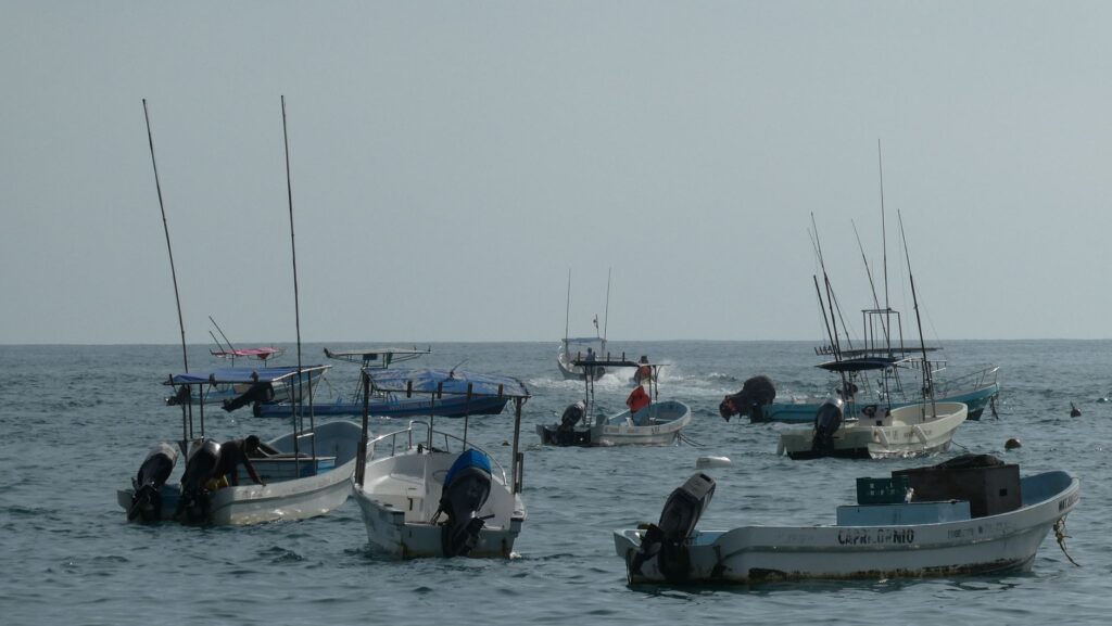
Beyond Isla San Diego and Isla Santa Cruz, the expedition route hugs the peninsular shoreline where the craggy eastern face of the Sierra de la Giganta plunges straight into the gulf. Rising over one thousand meters above sea level, this wall of layered volcanic rock creates distinct microclimates and massive underwater drop-offs. Bahía Agua Verde stands as a geographical and cultural benchmark of the expedition, offering a sheltered anchorage and a small community of artisanal fishermen.
The residents of Agua Verde maintain traditional fishing methods and an intimate understanding of the sea’s moods. The coast north of Agua Verde features striking landmarks such as Candelero de la Giganta and Punta San Telmo. The sheer basalt walls of the Sierra de la Giganta cast early thermal shadows over the sea, shifting local wind patterns as late afternoon approaches. Camping on these gravel and cobble beaches requires anchoring tents securely with rock deadmen or sand stakes, as catabatic gusts descending from the canyon walls can top 30 knots overnight.
Danzante Island and the Loreto Bay National Marine Park
The final leg of the expedition enters the Loreto Bay National Marine Park, a sanctuary established in 1996 covering over 200,000 hectares, encompassing Danzante, Carmen, Coronado, Montserrat, and Santa Catalina islands. Danzante Island, with its jagged profile and protected coves like Honeymoon Cove, serves as a natural stepping stone toward the mainland or the larger landmass of Isla Carmen.
The waters within the marine park are a critical feeding ground for the blue whale (Balaenoptera musculus), the largest animal on Earth, which migrates into the sheltered gulf between January and April to calve and feed. Kayaking in the presence of these marine mammals demands strict adherence to wildlife viewing protocols: maintaining parallel courses, never cutting across their path, and avoiding sudden paddle movements. Observing cetaceans from a sea kayak offers an extraordinary water-level perspective, where the blow of a blue whale a few hundred meters away resonates like an industrial steam vent across quiet seas.
Marine Wildlife Encounters and Leave-No-Trace Sea Kayaking
The biological richness of the Sea of Cortés extends far beyond large whales. Paddlers frequently spot Mobula rays (Mobula thurstoni) breaching high above the surface, pods of bottlenose dolphins, green sea turtles, and pelagic birds such as blue-footed boobies (Sula nebouxii) and western osprey (Pandion haliaetus). This ecological density demands an uncompromising commitment to Leave No Trace environmental ethics.
- Solid Waste Management: All non-biodegradable waste must be compacted and packed out in dry bags to municipal disposal points in Loreto or La Paz.
- Human Waste Disposal: In arid island and coastal environments where decomposition is slow, paddlers must use self-contained waste removal systems or dig catholes at least 15 centimeters deep, located more than 60 meters from the high-water line.
- Wildlife Disturbance Mitigation: Camping within 100 meters of active osprey nesting sites or sea lion rookeries is strictly prohibited. Safe observation distances must be maintained at all times.
- Campfire Restrictions: Open wood fires are prohibited on islands within protected areas to preserve desert soils and organic matter; all cooking must be performed using pressurized liquid-fuel or canister stoves.
Field Logistics and Expedition Planning Guide
Executing a long-distance sea kayak expedition in Baja California Sur requires proven competency in open-water navigation, self-rescue, assisted rescues, and wilderness first aid.
Recommended Kayak Equipment and Gear
Expedition paddlers should utilize closed-deck sea kayaks made of composite fiberglass, carbon-kevlar, or durable rotomolded polyethylene measuring at least 5 meters (16.5 feet) in length. Kayaks must feature watertight bulkhead compartments fore and aft, a drop skeg or rudder system, and perimeter safety deck lines. Essential safety equipment must include a high-flotation PFD, reinforced neoprene spray skirt, spare paddle secured to the foredeck, and a satellite messenger device.
Seasons and Weather Patterns
The prime window for expedition paddling extends from late October through mid-April. Summer months bring extreme ambient heat exceeding 40 °C (104 °F) along with tropical storm threats («chubascos»). Winter air temperatures range from comfortable 15 °C nights to 26 °C days, while water temperatures linger between 18 °C and 21 °C (64–70 °F), making a light paddling jacket or neoprene vest recommended gear.
Key Route Waypoints and Distance Breakdown
The following summary outlines the primary legs of the route, approximate distances, and resource availability:
- Playa Tecolote / La Paz to Isla Espiritu Santo: 6 nautical miles. No freshwater. Park permit required prior to launch.
- Isla Espiritu Santo to San Evaristo: 28 nautical miles. Limited water and basic provisions available in San Evaristo village.
- San Evaristo to Bahía Agua Verde: 52 nautical miles. Uninhabited, high-cliff coastline. Multiple cobble beaches for emergency bivouacs.
- Bahía Agua Verde to Isla Danzante / Puerto Escondido: 34 nautical miles. Full resupply and freshwater access at Puerto Escondido marina.
- Puerto Escondido to Loreto Waterfront: 16 nautical miles. Final protected paddling leg inside the national marine park.
The Craft of Solitude in the Gulf of California
Completing the self-supported journey from Espiritu Santo to Loreto by sea kayak is a voyage that transcends physical endurance. The continuous effort of paddling, the discipline required to navigate shifting winds and tides, and the raw immensity of the desert-sea landscape forge a profound connection to the Gulf of California.
In the vastness of the gulf, the sea kayaker realizes that true seamanship is not about conquering the swell, but deciphering the subtle cadence with which the desert speaks to the sea.
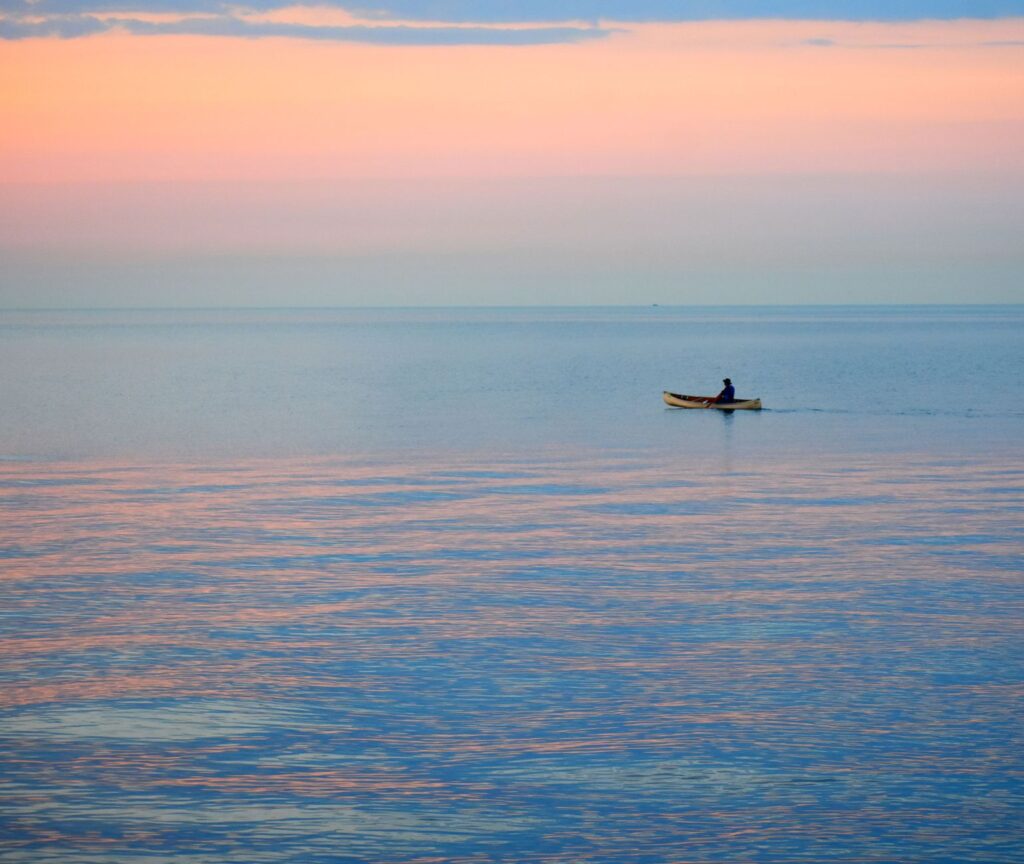
Crossing an open channel at dawn, with the red volcanic peaks of the Sierra de la Giganta catching the first sunlight and the rhythm of the paddle entry breaking the calm surface, offers a rare encounter with wild nature. Preserving these desert marine corridors depends entirely on low-impact, self-reliant seamanship that respects the delicate balance of this oceanic wilderness. Reaching the historic shores of Loreto provides not just an end to a 150-mile journey, but a quiet harbor in which to process the timeless vastness of the Sea of Cortés.