Introduction to Lake Travel in Central America
Nicaraguan territory is geographically defined by an imposing tectonic depression housing two monumental bodies of water: Lake Xolotlán and Lake Cocibolca, universally known as the Great Lake of Nicaragua. This freshwater mass, spanning over 8,000 square kilometers, is not merely a geographical feature of immeasurable scenic value, but the historical and logistical backbone of connectivity across the Central American isthmus. For centuries, prior to the laying of modern highways and the consolidation of commercial aviation networks, the waters of Cocibolca and its primary outflow, the San Juan River, functioned as the most coveted natural interoceanic passage for imperial powers, explorers, and merchants.
Today, mobility within this hydrographic basin has evolved remarkably, adapting to the demands of riverside communities, domestic commerce, and a growing flow of travelers seeking to understand the logistics of a unique aquatic transport system. Comprehending the ferry infrastructure, cabotage routes, connecting ports, and operational challenges of navigating these water bodies requires a rigorous perspective combining engineering history with practical planning for the contemporary traveler.
The Historical Genesis of the Water Route
The viability of utilizing the Great Lake of Nicaragua and the San Juan River as a communication channel between the Atlantic and Pacific Oceans fascinated geographers from the arrival of Spanish conquistadors. The concept of an interoceanic canal through this basin gained paramount relevance during the mid-19th-century California Gold Rush, when tycoon Cornelius Vanderbilt’s Accessory Transit Company transported thousands of American emigrants from the East Coast to San Francisco using river steamers that traversed the San Juan River and crossed the lake to the Rivas isthmus.

This legacy of commercial navigation left a deep imprint on the region’s infrastructure. Although the interoceanic canal project through this basin was never definitively materialized due to complex geopolitical and environmental variables, internal mobility networks continued developing around cabotaje navigation. Ancient colonial docks gave way to modern piers and a fleet of ferries that, while modest compared to major European maritime consortia, sustain the territorial cohesion of isolated enclaves such as the Solentiname Archipelago and the volcanic paradise island of Ometepe.
Ometepe: The Insular Epicenter of Lake Traffic
Situated in the heart of Lake Cocibolca, the island of Ometepe—formed by the imposing silhouette of two volcanoes, Concepción and Maderas—represents the most vital logistical node for passenger and cargo transport within the lake system. Connectivity with the mainland relies almost exclusively on transveyors and passenger motorboats that depart regularly from the port of San Jorge, located in the department of Rivas.
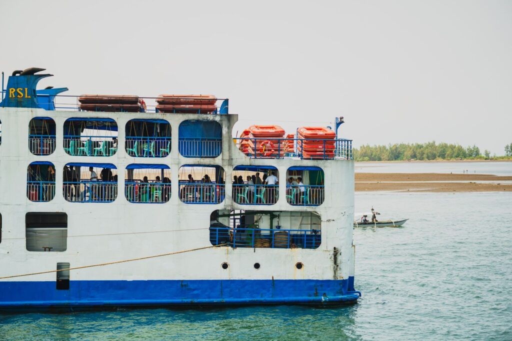
Port operations in San Jorge have undergone transformations to manage the steady increase in international tourism and heavy freight transport. Steel ferries, capable of carrying both automobiles and passengers on open decks, perform multiple daily crossings along a route lasting approximately one hour, depending on tidal conditions and trade winds descending from the volcanic cordillera. This crossing is not merely an indispensable mode of transportation, but a visual immersion experience allowing travelers to appreciate the vastness of the lake, frequently compared to an inland sea due to the absence of visible land on its eastern horizon.

Navigation across the Great Lake of Nicaragua is not a simple geographical displacement, but a reunion with ancestral river logistics where time is measured by the cadence of the wind and currents.
The San Juan River: Jungle Navigation and Borderlands
South of Lake Cocibolca lies the San Juan River, a mighty waterway stretching nearly two hundred kilometers through pristine rainforests and protected wetlands until emptying into the Caribbean Sea at the port of San Juan del Norte. Historically navigable by draft vessels of moderate depth, this river constitutes one of Latin America’s most fascinating biological and logistical routes, serving additionally as a natural border in its final stretch with neighboring Costa Rica.
Connectivity along the San Juan River is divided into several operational segments. From the town of San Carlos—the lake port situated at the southeastern tip of the Great Lake, where tributary waters converge—fast passenger motorboats, locally known as pangas, and state-operated cargo vessels depart toward El Castillo, a historic fortified settlement dominated by a 17th-century Spanish colonial fortress.
The river journey toward El Castillo and further onward to the Atlantic mouth demands rigorous logistical planning by the traveler. Unlike paved overland routes, river transport on the San Juan River is subject to strict safety regulations dictated by the Naval Force of the Nicaraguan Army, mandatory life jacket usage, and supervision of departure schedules, which halt before dusk due to visibility and safety reasons along the channel.
Solentiname Archipelago: Isolation and Insular Connectivity
Scattered across the Guatuso Bay at the southern extreme of Lake Cocibolca, the more than thirty-six islets and islands comprising the Solentiname Archipelago represent a sanctuary of biodiversity, primitivist art, and tranquility. However, for residents and visitors seeking to explore this remote edge, geographical isolation poses considerable logistical challenges testing the efficiency of regional connectivity.
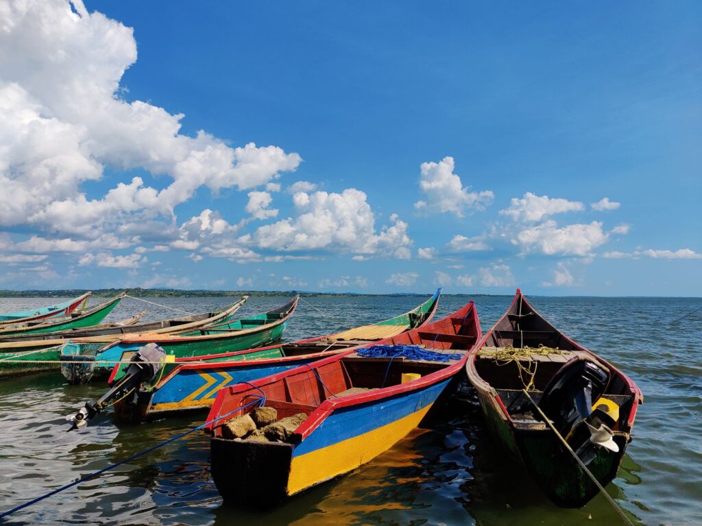
The primary access route to Solentiname relies on watercraft departing from the San Carlos pier. The fast motorboat journey can take between one and a half to two hours, depending on outboard motor horsepower and open-water wave intensity, as the crossing traverses areas where the lake experiences strong cross-currents. Local authorities and maritime transport cooperatives coordinate specific weekly frequencies, compelling any traveler or researcher to verify departure notices in advance, as adverse weather conditions during the rainy season can drastically alter itineraries.
Port Infrastructure and Logistical Modernization
The economic and touristic development of Nicaragua’s lake region has driven a gradual modernization process over the past decade within port infrastructure managed by the National Port Enterprise (EPN). The ports of San Jorge, San Carlos, and Granada—the latter situated on the lake’s northwestern coast and historically connected via minor commercial channels and routes—have received investments aimed at upgrading docking piers, passenger terminals, and cargo control systems.
The port of Granada, in particular, maintains a rich tradition tied to deep-draft lake navigation. Although freight traffic has largely migrated toward paved highways across the national trunk network, Granada’s facilities continue operating as the departure point for specialized river cruises and smaller vessels exploring the Isletas de Granada, a labyrinth of over three hundred small islets formed by the volcanic activity of Mombacho.
Efficient management of lake ports remains essential for balancing tourism sector growth with the preservation of the delicate aquatic ecosystems of Cocibolca and its tributaries.
Environmental and Meteorological Challenges in Navigation
Navigating the Great Lake of Nicaragua and its associated river systems is not without operational risks that every prudent traveler must consider. The colossal size of Cocibolca generates distinct meteorological phenomena, popularly known as Papagayo winds, blowing forcefully from the Pacific Ocean across the lowlands of Rivas, generating considerable waves capable of temporarily suspending ferry departures toward Ometepe Island.
Likewise, seasonal variability imposes clear dynamics: during the dry season, from November to April, visibility and stability conditions are optimal for navigation; conversely, the rainy season, extending from May to October, increases tributary river flow, sweeps patches of floating vegetation capable of obstructing boat propellers, and demands rigorous mechanical maintenance across the entire public transport fleet.
Safety in Nicaragua’s inland navigation rests upon absolute compliance with meteorological protocols and constant supervision by local harbor master offices.
Practical Mobility Guide and Logistical Planning
For travelers wishing to traverse Nicaragua’s lacustre and interoceanic network with rigor and safety, essential logistical recommendations are detailed below:
- Main departure point toward Ometepe: Head to the San Jorge port terminal in Rivas. Ferries operate from early morning until dusk, with frequencies approximately every hour and a half. Advance reservations are not strictly mandatory for walk-on passengers, but are necessary for private vehicles.
- Accessing the San Juan River and El Castillo: The gateway is the city of San Carlos. Arriving the afternoon prior to departure is recommended. Public passenger boats operate on fixed morning schedules, while chartered private motorboats offer greater flexibility but require direct negotiation with local cooperatives.
- River safety requirements: Always demand approved life jackets before the watercraft leaves the pier. Verify that the boat is equipped with radio communication and basic emergency gear, especially on long journeys toward Solentiname or the Caribbean river mouth.
- Seasonality and climatology: Plan maritime displacements preferably during early morning hours, when winds tend to be less intense and lake waves remain at moderate levels. Always check weather conditions at the local Harbor Master’s Office.
- Connecting overland transit: Express bus routes from the capital, Managua, connect directly with Rivas terminals (for San Jorge port) and Acoyapa or San Carlos, integrating overland and aquatic transport into a continuous, economical journey ticket.
Conclusion: The Persistence of Water as a Vital Artery
The aquatic transport network formed by the Great Lake of Nicaragua, the San Juan River, and their associated archipelagos constitutes a living testament to how geography shapes human mobility. Far from being a relic of the past, this natural interoceanic system continues operating as an indispensable logistical lifeline for thousands of citizens and as a destination of incalculable value for the contemporary traveler who values rigor, authenticity, and profound understanding of visited territories. Navigating these waters is recognizing that Central America’s true pulse beats to the unhurried rhythm of its fluvial currents and immense lake mirrors.