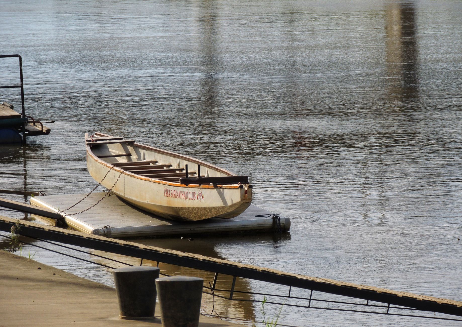
Introduction to Southeastern Australia’s Waterway Artery
The river system formed by the Murray and the Darling constitutes Australia’s most extensive hydrological basin and one of the most unique inland navigation networks in the Southern Hemisphere. Stretching over two thousand five hundred kilometers, the Murray River has played a foundational role in shaping the socioeconomic and territorial development of southeastern Australia, historically serving as a vital liquid highway long before the consolidation of modern rail and road networks. Its channel meanders through vast semi-arid plains, connecting the states of New South Wales, Victoria, and South Australia, and establishing a geographical corridor where survival, commerce, and transport have critically depended on water management and civil engineering.
Understanding the logistics of this system requires looking beyond its present identity as a leisure destination. During the nineteenth and early twentieth centuries, the waters of the Murray represented the only viable route for the bulk transport of wool, wheat, and manufactured goods from Australia’s interior to southern oceanic ports. This report examines the evolution of its navigation infrastructure, the socioeconomic impact of the paddle steamer era, the subsequent development of lock and weir systems, and the contemporary reality of a river corridor that balances environmental conservation, specialized tourism, and rigorous water resource management in a climatically vulnerable environment.
The Golden Age of Paddle Steamers and Inland Commerce
By the mid-nineteenth century, the isolation of Australia’s interior posed an insurmountable obstacle to colonial economic development. Long overland journeys, undertaken with bullock drays across dirt tracks that were frequently rendered impassable by seasonal rains or extreme droughts, made commerce prohibitively expensive. The commercial opening of the Murray River began to consolidate in the 1850s, when pioneers such as Francis Cadell and William Randell independently demonstrated that commercial navigation was feasible through the use of shallow-draft vessels propelled by steam.
These paddle steamers were specifically designed to adapt to the capricious nature of the river, characterized by fluctuating water levels, hidden sandbars, and numerous submerged trees or snags. Towing cargo barges, these vessels managed to transport thousands of tons of shorn wool from remote pastoral stations along the Darling River and the middle course of the Murray down to strategic river ports such as Echuca in Victoria, which rapidly developed into Australia’s premier inland port.
The logistics of this river network required meticulous precision and a deep reliance on natural flood cycles. Captains had to navigate guided solely by their visual experience of the terrain and current behavior, as Australian rivers lacked the systematic navigational buoyage of European waterways. Downbound freight destined for Echuca was subsequently transferred to the railway connecting to Melbourne, creating a pioneering multimodal corridor that integrated river and land transport to supply both local markets and British export routes.
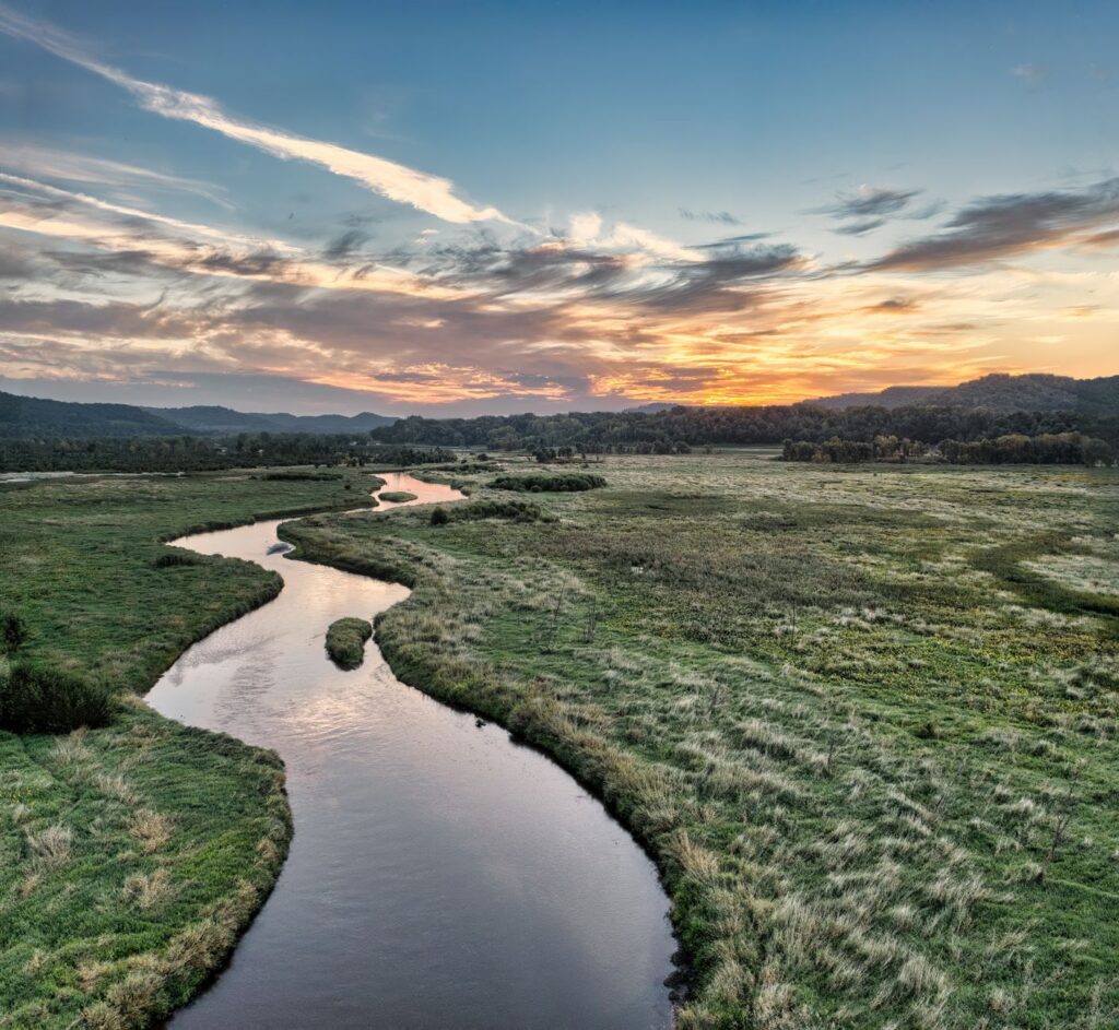
River Engineering: Locks, Weirs, and Flow Regulation
As the colonial economy grew, the seasonal unpredictability of the Murray’s flow proved to be a severe limitation for continuous commercial transport. Extended droughts could reduce the river to a series of disconnected pools, paralyzing the steamer fleet for months, while sudden floods would inundate entire plains. To mitigate this vulnerability and secure a constant water supply for both navigation and nascent irrigation agriculture, the governments of New South Wales, Victoria, South Australia, and the Commonwealth signed the historic River Murray Agreement in 1915.
This agreement initiated an ambitious public works program aimed at transforming the river regime through the construction of a series of locks and regulatory weirs. Thirteen primary locks were erected along the navigable course, numbered sequentially from Lock 1 in Blanchetown to Lock 11 in Mildura, alongside the independent lock at Yarrawonga. These engineering structures enabled the maintenance of minimum navigable water depths throughout the year, profoundly altering the river’s ecology while stabilizing transport logistics of the era.
The design of these locks combined mechanically operated timber and steel gates, allowing vessels to overcome topographical changes in a controlled manner. However, this mastery of engineering carried a significant environmental cost. The fragmentation of the river channel disrupted the migratory pathways of native fish species, altered natural flood cycles for river red gum forests, and modified water salinity—challenges that today guide the complex ecological restoration policies managed by basin authorities.
The transformation of the Murray River from a wild, unpredictable watercourse into a regulated waterway reflects the colonial engineering ambition to dominate an extreme natural environment, a legacy that today demands a delicate balance between environmental conservation and human utilization.
The Decline of Freight Transport and the Railway Transition
The dominance of the Murray River as southeastern Australia’s primary logistics artery began to fade in the early decades of the twentieth century as the expansion of the continental railway network pushed further inland. Trains offered speed, payload capacity, and schedule predictability that paddle steamers—constrained by current velocity and seasonal water level variations—simply could not match. Inland rail terminals such as Echuca, Swan Hill, and Morgan lost their status as bustling river ports as rail branches directly connected agricultural production zones with metropolitan centers.
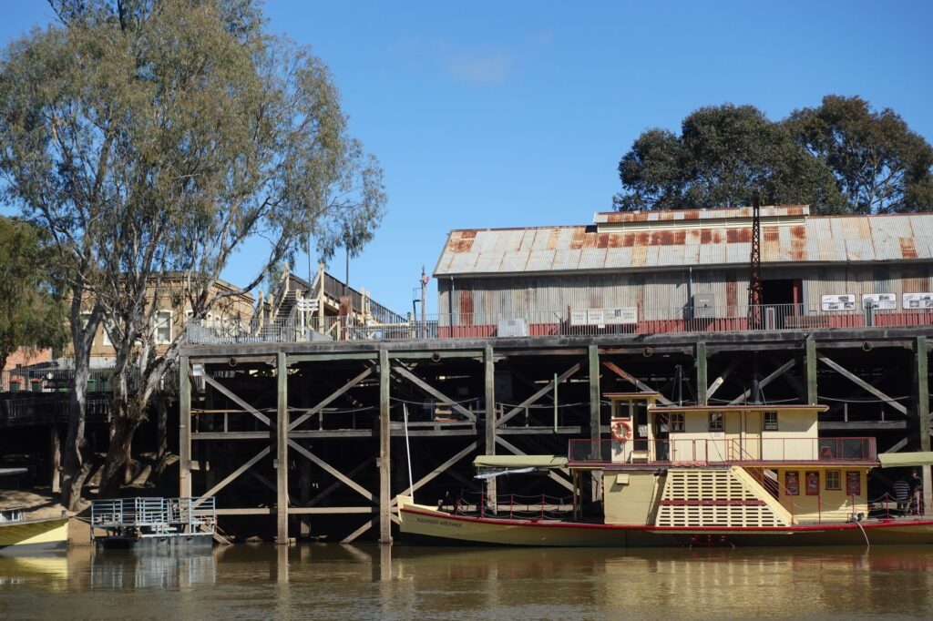
By the 1940s, the commercial paddle steamer fleet had virtually disappeared, replaced by heavy-duty trucks and freight trains. The vessels that once carried the region’s economic lifeblood were abandoned along riverbanks, slowly sinking into mud or becoming silent monuments to Australian industrial heritage in locations such as the Port of Echuca Historic Wharf.
Despite the loss of their original commercial function, the river corridor did not lose its socioeconomic relevance. Infrastructure constructed for navigation and flood control was almost entirely redirected toward supporting one of the country’s most productive agricultural regions, responsible for a substantial share of national wine, citrus, and horticultural output. Water logistics replaced dry-cargo logistics, turning the Murray into the invisible engine of regional food security.
The Tourism Renaissance: Paddlewheelers and Slow Travel
In the twenty-first century, the Murray River is experiencing a second youth through river tourism and the concept of slow travel. Traditional paddle steamers and modern multi-level recreational vessels, locally known as houseboats, have redefined navigation in the region, offering travelers an immersive perspective of river landscapes, native wildlife, and historical heritage.
Towns such as Mannum in South Australia, where the first commercial paddle steamer operated in 1853, and Echuca on the Victoria-New South Wales border, act as nerve centers for this activity. Visitors can embark on multi-day cruises aboard authentic restored paddle steamers such as the *PS Emmylou* or *PS Murray Princess*, experiencing river navigation with contemporary comfort standards while retaining the aesthetic and pace of the Victorian era.
The operation of these cruises requires specialized crews proficient in traditional river piloting techniques, as depth shifts and submerged obstacles continue to demand constant vigilance. Likewise, renting self-drive houseboats in locations such as Mildura or Renmark has established itself as a popular option for independent tourism, requiring mandatory training sessions in navigation and river regulations before setting off.
Road Infrastructure and Inter-Bank Connectivity
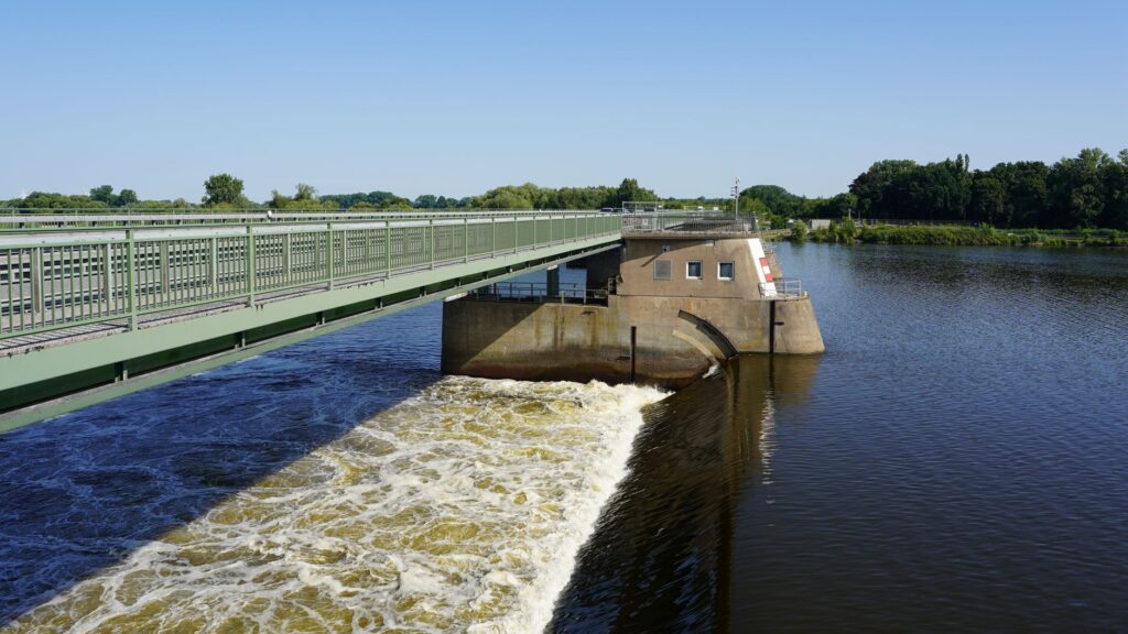
Beyond tourist navigation, territorial connectivity along the Murray River relies on a critical network of road bridges and cable ferries connecting communities situated on opposite banks. Due to the width of the channel and the soft nature of the floodplains, the construction of major road bridges has historically been restricted to larger urban centers such as Albury-Wodonga, Swan Hill, or Murray Bridge.
To bridge distances between these major infrastructures, the South Australian government maintains a fleet of free public cable ferries crossing the river continuously from bank to bank. These ferries, guided by submerged steel cables and propelled originally by the current or modern diesel engines, represent an indispensable element of local transport infrastructure, enabling daily transit for residents, agricultural vehicles, and school transport without requiring detours of tens of kilometers.
The management of these crossings reflects the persistence of a small-scale insular culture, where reliance on floating infrastructure conditions the logistical planning of entire municipalities. Maintenance protocols for these ferries are rigorous, requiring periodic dry-dock overhauls and contingency plans to guarantee road connectivity during exceptional flood periods or dredging operations.
Practical Information for the Traveler and Logistics Planning
Planning a trip along the Murray River corridor requires understanding continental distances and Australia’s climatic seasonality. The region experiences hot, dry summers with temperatures frequently exceeding forty degrees Celsius, while winters are mild but crisp at night, making spring (September to November) and autumn (March to May) the optimal seasons for exploration.
Main Accessibility: Access to the Murray corridor is primarily achieved by road from Melbourne or Adelaide. Echuca is located approximately a two-and-a-half-hour drive north of Melbourne, while the Riverland region in South Australia is accessible via a two-to-three-hour drive from Adelaide.
Houseboat Rentals: For autonomous navigation aboard habitable vessels, a standard vehicle driver’s license is required, as local laws permit piloting houseboats following a one-hour practical induction provided by operating companies in ports such as Mildura, Renmark, or Goolwa.
Historical Heritage: Visiting the Port of Echuca (Port of Echuca Discovery Centre) is highly recommended, as it preserves the original timber wharves of the paddle steamer era and provides operational access to traditional boatbuilding workshops.
Safety and Water Regulations: River conditions vary according to flows regulated by water authorities. It is essential to consult local navigation advisories and respect speed-restricted zones to protect fragile riparian ecosystems and prevent wake damage.
Visual Close: The Silent Pulse of Water in the Australian Landscape
The Murray River is neither merely a geographical accident nor a simple water resource exploited for agriculture and tourism; it represents a living infrastructure that has shaped the history and connectivity of southeastern Australia for over a century and a half. From the days when paddle steamers defied the uncertainty of river flows to the technical precision of its current lock system and the tranquility of contemporary cruises, this great liquid artery continues to set the pace of regional life.
Contemplating the sunset over the calm waters of the Murray, reflecting the century-old silhouettes of river red gums, is to witness the persistence of a landscape where time seems to slow down. The coexistence between modern hydraulic engineering, preserved industrial heritage, and riparian biodiversity makes this river corridor an essential destination for understanding the complex interaction between humanity and the vast Australian territory.