
Traversing the French Pyrenees from west to east along the GR 10 long-distance hiking trail represents one of the most demanding and rewarding challenges in European excursionism. This is not simply a matter of walking along a marked line on a map, but rather of comprehending the complex topography that separates the Bay of Biscay from the Mediterranean Sea. Spanning hundreds of kilometers, the terrain demands meticulous preparation, where every gram in the backpack counts and every meteorological decision can determine the success of the daily stage. This itinerary offers no commercial shortcuts or artificial comforts; its value lies precisely in the authenticity of its valleys, the harshness of its mountain passes, and the relative isolation experienced when venturing deep into limestone and granitic massifs.
Planning a route of this magnitude requires stripping away any naive romanticism and confronting the physical reality of the territory. The Pyrenees, although less elevated than the Alps, present daily cumulative elevation gains that frequently exceed one thousand five hundred meters in both ascent and descent. This characteristic subjects joints and musculature to severe wear, turning pacing and effort management into the most critical skills for any hiker. Understanding one’s own rhythm, anticipating signs of fatigue, and properly dosing hydration and caloric intake are factors just as decisive as carrying high-performance navigation equipment or top-tier waterproof membranes.
The Hidden Geography of the Western Valleys
The traditional starting point on the Atlantic coast, specifically in the town of Hendaye, introduces the walker to a landscape that is green, humid, and deeply marked by oceanic influence. Here, the trails wind through giant ferns, intensive grazing meadows, and gently rolling hills that deceive the unwary traveler. However, this apparent gentleness transforms rapidly as the route gains altitude and penetrates the French Basque Country and the Béarn. Slopes steepen dramatically and beech forests give way to grassy ridges exposed to wind and sudden mists rolling in from the Bay of Biscay.
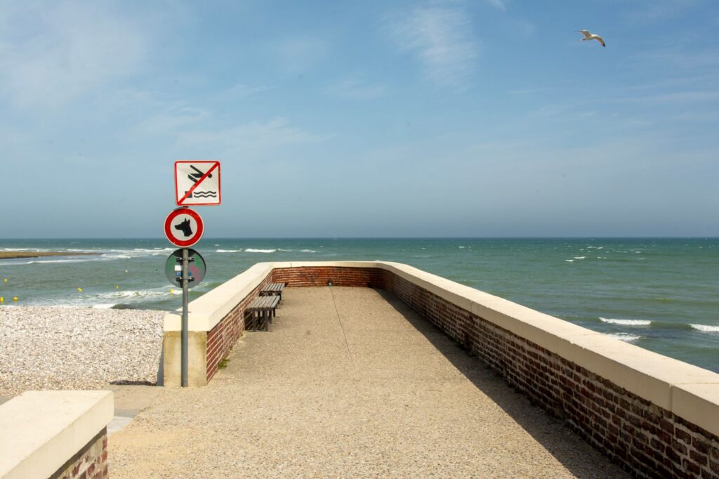
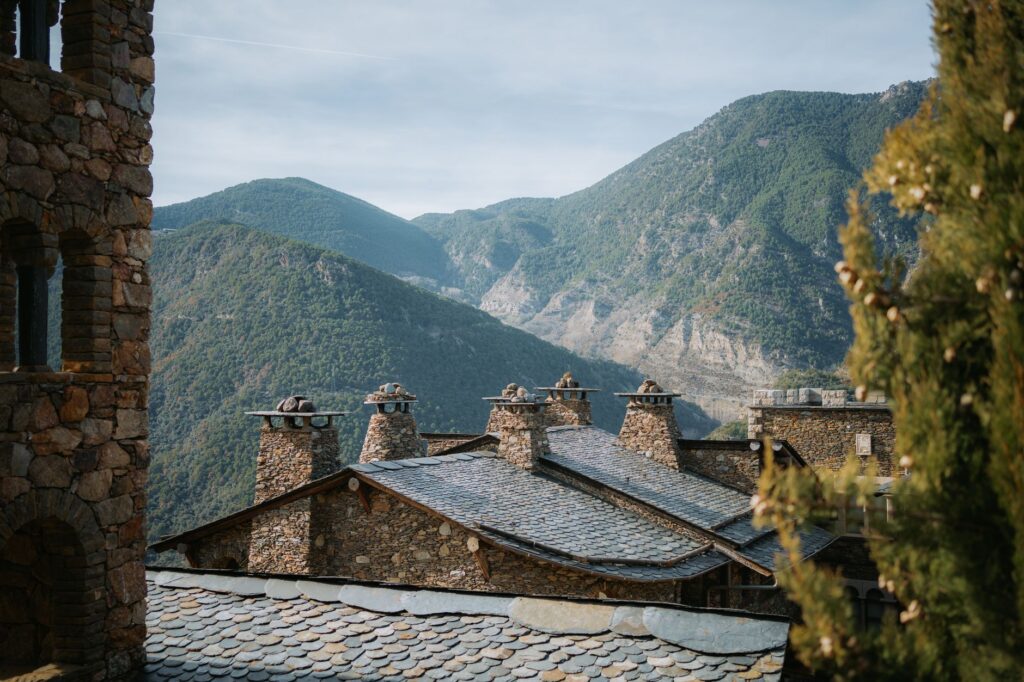
In this first third of the journey, water management and footwear selection are fundamental due to the constant humidity of the terrain. Local streams, known locally as gaves, run fast and require the use of wooden footbridges or careful stepping across slippery stones. Mountain communities, featuring traditional stone architecture and sloping slate roofs, offer the first formal supply points, though relying strictly on these establishments can prove a severe logistical miscalculation. Food self-sufficiency for at least three days remains an indispensable requirement even in the most inhabited zones of the route.
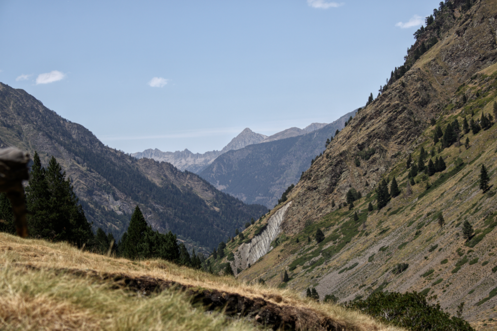
As the route advances toward the Pyrenees National Park, the landscape adopts a purely alpine dimension. The glacial valleys of Aspe and Ossau act as gigantic natural amphitheaters where bare rock and glacial cirques dominate the horizon. Here, the crossing demands traversing iconic mountain passes such as the Col d’Ayous or the Col du Somport, strategic points where the wind blows fiercely and temperatures can drop drastically even in the dead of summer. It is in this section that coexistence with free-roaming horses and cattle becomes part of the daily routine for the trekker.
Refuge Infrastructure and Supply Logistics
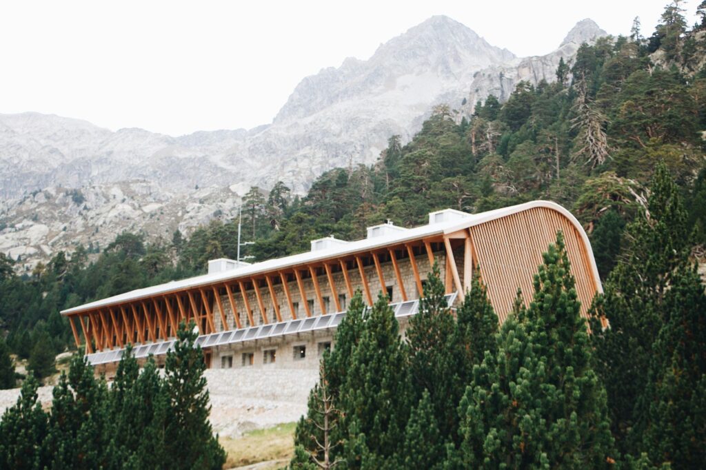
One of the foundational pillars for completing the GR 10 lies in understanding and properly utilizing the network of mountain refuges managed by the French Alpine Club and private entities. These refuges are not mere high-altitude hotels, but essential installations for safety and shelter. During the summer months, advance booking is practically mandatory due to high international demand. However, occupancy does not guarantee luxuries: accommodations are usually organized in communal dormitories where silence and respect for others’ rest are unwritten rules strictly observed by the mountaineering community.
Food logistics at the refuges require precise financial and weight strategies. While most offer hot dinners and high-energy breakfasts, prices reflect the logistical difficulty of supplying these outposts via helicopters or manual portering. Consequently, many hikers choose to carry their own lightweight gas cooking systems and freeze-dried rations, supplementing their diets with punctual purchases in the main valley towns such as Cauterets, Luz-Saint-Sauveur, or Bagnères-de-Luchon. These urban hubs act as logistical waypoints where it is possible to restock damaged technical gear, mail back spare clothing packages, and do laundry.
Controlling backpack weight is the eternal battle of the long-distance hiker. General technical guidelines establish that total equipment weight, including water and food for two days, should not exceed twenty percent of an individual’s body weight. Exceeding this limit exponentially increases the risk of knee and ankle injuries during prolonged descents. Items like telescopic trekking poles cease to be optional accessories and become indispensable biomechanical tools that absorb up to thirty percent of joint impact on downhills.
The Transition Toward the Granitic Giants of the Central Pyrenees
The central sector of the GR 10 concentrates the most emblematic summits and unrelenting elevation changes of the entire traverse. Leaving the Béarn behind and entering the Hautes-Pyrénées region, the trail skirts geological colossi and areas of immense ecological value. Here, limestone rock predominantly gives way to granitic formations that are more stable yet equally abrasive on footwear soles. High-mountain lakes, intensely blue and bordered by lingering snow patches, dot the landscape, offering the only oases of visual calm amid the severity of the ridges.
The mountain yields to no rush and negotiates with no improvisation; it demands absolute respect, constant attention, and the humility required to know when to stop before weather dictates the outcome.
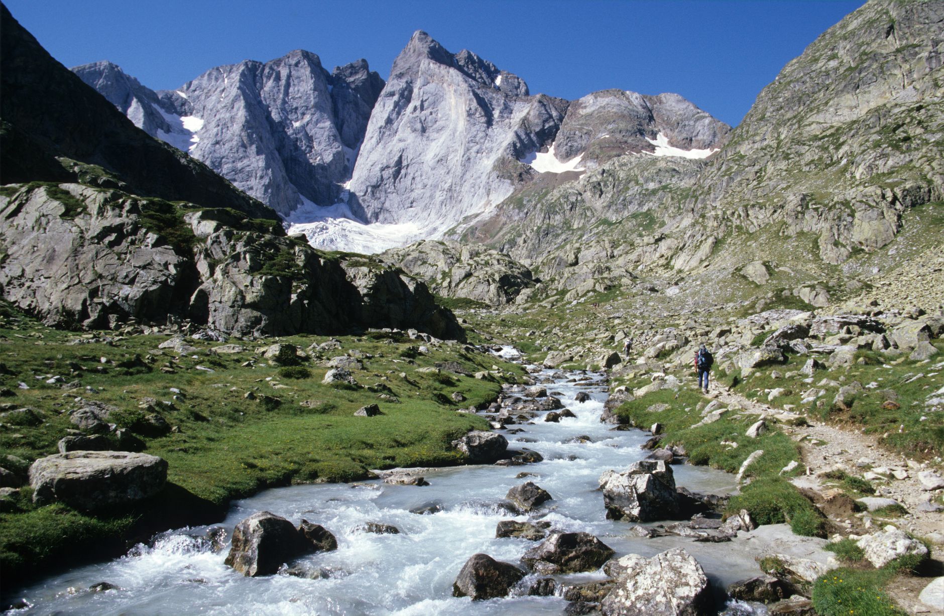
Crossing areas like the Cirque de Gavarnie or the surroundings of the Vignemale exposes the walker to the grandeur of European high mountains. In these sections, the climate is notoriously fickle. It is perfectly common to start walking under radiant morning sun and encounter an intense electrical storm before noon. Sky observation, reading atmospheric pressure, and knowing emergency escape routes are skills that spell the difference between a memorable adventure and a high-mountain rescue operation.
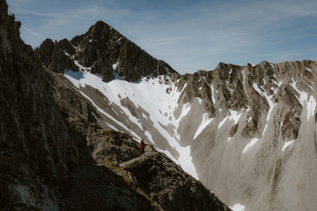
The native fauna of this sector includes representative species such as the Pyrenean chamois or isard, the marmot—whose characteristic whistle accompanies the hiker in high meadows—and, with extreme fortune, protected raptors like the bearded vulture. Human presence, though evident along main routes, fades as one moves away from mechanical road access. The silence of high altitudes, broken only by the crunch of boots on scree and the whine of wind across passes, constitutes one of the purest psychological experiences offered by the continent’s wild nature.
The Path Toward the Mediterranean and Farewell in Banyuls-sur-Mer
The final stretch of the GR 10, running through the Pyrénées-Orientales region and the historical territory of Roussillon, introduces a radical shift in the ecological and cultural environment. As the mountain range gradually loses altitude in its approach to the sea, the Mediterranean climate begins to assert itself. Alpine vegetation disappears entirely, replaced by xerophytic scrublands, holm oak woods, and terraced dry-stone vineyards dominating sunny slopes. Summer heat in this sector can become stifling, making early morning starts an absolute tactical necessity.
The towns of this final section, steeped in a rich Franco-Catalan cultural blend, offer a warm welcome and a cuisine based on local products such as artisan cured meats, goat cheeses, and protected designation of origin wines. Nevertheless, one must not underestimate the physical demands of these final days. Although summits no longer exceed three thousand meters, the terrain remains rugged, featuring constant climbs and descents that accumulate considerable elevation gain under an unrelenting sun with natural drinking water sources growing increasingly scarce and distant from one another.
Upon finally reaching the coastal town of Banyuls-sur-Mer, the contrast between the salty foam of the Mediterranean Sea and the dust accumulated on boots after weeks of marching generates a profound sense of personal accomplishment. The symbolic immersion of feet in saltwater seals a physical and mental journey of extraordinary dimensions. No medals or official diplomas remain, but rather the intimate certainty of having walked the backbone of one of the wildest and most complex mountain ranges in Western Europe, respecting its rhythms, its rules, and its unbreakable beauty.
Practical guide
How to get there: The western starting point in Hendaye boasts excellent rail connections via the TGV high-speed train network from Paris, as well as regional services from Bordeaux and San Sebastián. The nearest airport to the start is Biarritz. For the route’s end in Banyuls-sur-Mer, the local station connects directly with Perpignan and Barcelona via regional rail services.
When to go: The optimal time window for completing the GR 10 runs from late June to late September. Outside this period, refuges remain closed or offer very limited emergency bunk space, and high mountain passes typically accumulate heavy snow requiring crampons and ice axes.
Permits and regulations: No general paid permit is required to hike the trail, but a significant portion of the itinerary passes through the Pyrenees National Park and regional nature reserves, where strict regulations apply: absolute prohibition of campfires, the obligation to camp only in authorized zones or bivy strictly at dusk and dismantle at dawn, and a strict ban on leaving any form of waste.
Recommended technical gear: Mid or high-cut hiking boots with a waterproof membrane and high-traction soles (such as Vibram), telescopic trekking poles, technical breathable layering system, a waterproof jacket with a minimum hydrostatic head of 20,000 mm, a lightweight refuge sleeping bag, an advanced first-aid kit, a water purification system, and a satellite communication device for areas lacking mobile coverage.
Water management: Although water is abundant in the western and central Pyrenees, it should never be consumed directly in livestock grazing areas without prior filtration or treatment using purifying tablets, due to the potential presence of parasites such as Giardia lamblia.
Cartography and navigation: It is essential to carry updated 1:25,000 scale topographic maps (such as those published by the French IGN) and a backup GPS application on a smartphone with high-capacity external power banks, as heavy fog conditions can easily disorient even the most experienced hikers.