
The middle and lower course of the Danube River has historically represented one of the most formidable natural barriers to overland transport on the European continent. Over the centuries, the empires that dominated the region—from the Romans to the Austro-Hungarian Empire—sought formulas to master a riverbed that, as it carves its way through the Carpathians and the Balkans, generates a gorge of titanic proportions known as the Iron Gates. In this geological setting of vertical walls and unpredictable currents, the advent of the railway in the late 19th century was not only a marvel of civil engineering, but also a radical shift in commercial and passenger logistics between Central Europe and the Balkans.
The construction of the rail lines flanking the gorge demanded unprecedented technical solutions. Engineers had to excavate living rock in cliffs suspended over the water, design meandering tunnels that followed one another without respite, and calculate embankments with millimetric precision to prevent landslides caused by fluvial erosion and seasonal variations in water volume. This report examines how that pioneering route linking Belgrade with the Romanian town of Orșova redefined Danubian connectivity, transforming an impregnable natural border into a corridor of cultural and economic exchange that endures to this day.
The Geography of the Abyss: The Topographic Challenge of the Iron Gates
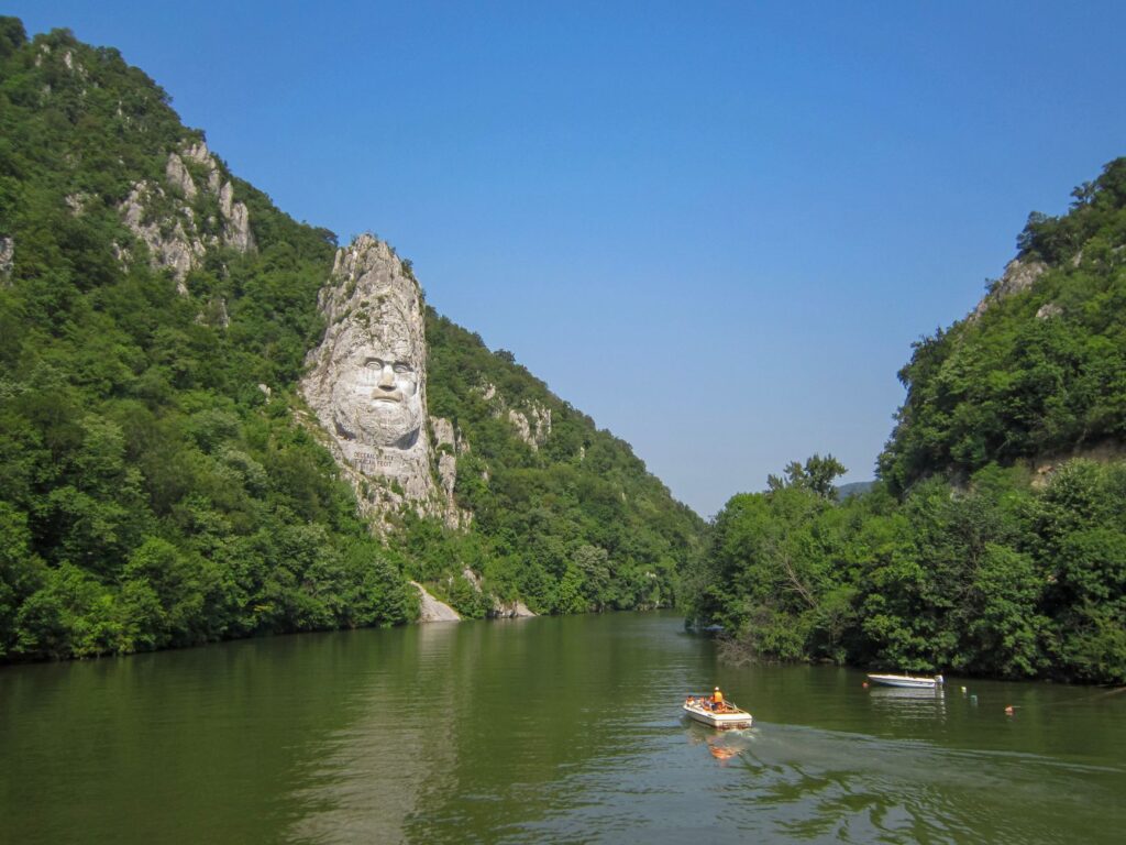
To understand the magnitude of the railway construction between Belgrade and Orșova, it is essential to analyze the relief that conditions it. The Danube, in its final stretch before entering the Pannonian Plain, constricts into a series of successive gorges known as Golubac, Kazan, and Sip. In the Kazan sector, the river narrows dramatically to barely one hundred and fifty meters wide, while the cliffs rise more than three hundred meters above the water level. This topographic configuration left minimal margin for any terrestrial communication route.
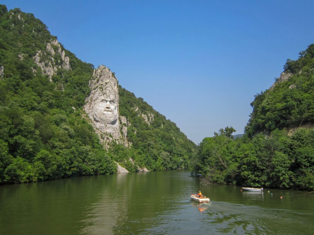
For decades, freight transit depended exclusively on river navigation, exposed to treacherous eddies and submerged reefs that Roman engineers had already attempted to channel. When European powers planned the railway integration of the region, the route along the southern bank—in Serbian territory—and the northern bank—in Romanian territory—demanded the systematic blasting of rocky escarpments. The workforce, composed of thousands of local and international laborers, worked under extreme conditions, hanging from precarious scaffolding over the turbulent waters of the Danube to trace the first profiles of what would soon become a vital artery.
Trench Engineering and Tunnels in Living Rock
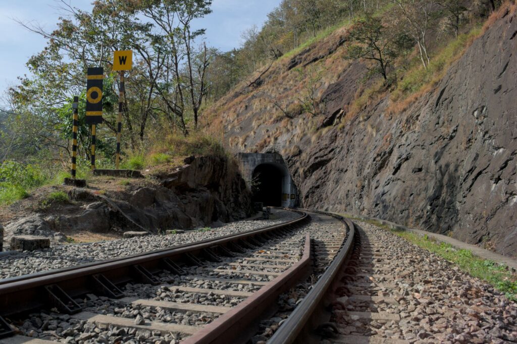
The design of the railway infrastructure in this alpine-fluvial corridor relied on the concept of excavated trenches and the continuous drilling of underground galleries. Unlike lines crossing open plains, the route between Belgrade and Orșova lacks long straight sections; it is a succession of tight-radius curves designed to embrace the sinuous geography of the river. Every kilometer of track represented a logistical challenge due to the impossibility of accessing the sites from firm ground, forcing the transport of machinery and materials via steam barges.
The tunnels built in this section deserve special mention in the history of nineteenth-century engineering. Originally lined with local ashlar masonry and later reinforced with reinforced concrete, many of these dark, narrow conduits open abruptly onto metal viaducts spanning lateral ravines. From the perspective of operation, locomotive drivers had to exercise extreme caution given the frequent presence of dense river mists and the latent risk of falling rock blocks dislodged by freeze-thaw cycles.
Danubian Logistics: The Symbiosis Between River Steam and the Train
The rationale behind this railway axis lay not only in transporting local passengers, but in articulating a complex multimodal logistics network. The Danube acted as the great highway for coal, grain, and manufactured goods between the Ottoman Empire—and later the Balkan states—and the industrial heartland of Europe. However, the rapids and shallows of the Iron Gates prevented smooth, continuous navigation throughout the year, a problem that the railway efficiently came to solve.
Stations located at strategic points such as Velika Plana, Negotin, and the approach to Orșova itself functioned as transfer nodes where cargo from barges was transshipped to freight cars, and vice versa. This complementarity between ship and train optimized transit times and reduced distribution costs, consolidating the region as a premier trade corridor. The railway infrastructure guaranteed supply continuity even when floods or winter frosts paralyzed river traffic.
The railway does not dominate the landscape of the Iron Gates; it infiltrates it with audacity, demonstrating that human technique can weave a thread of steel over the abyss of water.
The Architecture of Historic Stations: Witness to a Golden Age
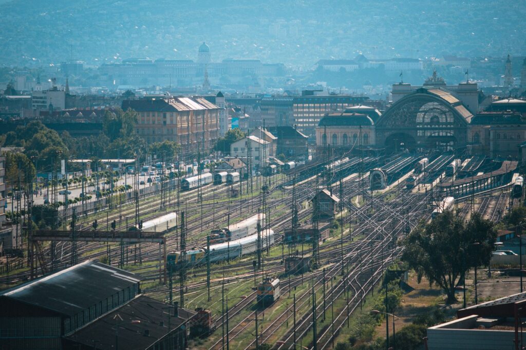
Beyond the tracks and tunnels, the architectural heritage associated with this railway line constitutes a fascinating chapter in the history of European transport. The stations erected in the late 19th and early 20th centuries responded to a stylistic canon combining the functional sobriety demanded by state administration with ornamental elements inspired by Central European historicism and local tradition.
Buildings with gabled roofs, fine hardwood joinery, and wrought-iron canopies structured the lives of small communities that emerged under the shadow of the passing train. These enclaves were not mere halts, but neuralgic centers centralizing telegraphic communication, postal service, and customs control. Although many of these structures have suffered the ravages of time and network modernization, some have been listed as heritage assets, reminding the contemporary traveler of the human scale of that great industrial enterprise.
Modernization, Electrification, and the Impact of Mega Dams
The 20th century brought drastic transformations to the landscape and infrastructure of the Danube. The construction of the Iron Gates hydroelectric complexes (Djerdap I and II), developed jointly by Yugoslavia and Romania starting in the 1960s, permanently altered the water level and submerged entire sections of the original tracks, forcing the routing of variants at higher elevations.
This monumental hydraulic engineering project required the relocation of rail lines, the construction of new bridges, and the gradual electrification of main sections to accommodate more powerful, higher-capacity locomotives. While modernization sacrificed part of the original nineteenth-century layout, it guaranteed the operational survival of an indispensable corridor for Eastern Europe’s connectivity, adapting it to twenty-first-century heavy freight standards.
The Renaissance of Railway Tourism and the Corridor’s Memory
Today, the railway section running parallel to the Iron Gates is undergoing a phase of cultural rediscovery. While long-distance passenger transport has lost ground to aviation and highways, enthusiasts of slow travel and the history of technology find in this route an unmatched visual experience. Peering out the train window as it winds through dark tunnels and emerges suddenly before the vast green and blue expanse of the Danube evokes the thrill of nineteenth-century explorers.
Conservation organizations and local rail operators are promoting initiatives to highlight this forgotten heritage. Themed routes combining train journeys with river navigation allow travelers to understand the complex symbiosis between machine and river that shaped the modern Balkans. Far from being an inert relic, the corridor remains an eloquent testament to human will to connect territories separated by the most adverse geography.
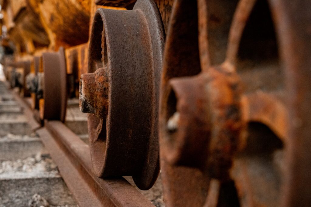
Traveling the Danube tracks today is navigating on rails through the deep memory of Europe, where every tunnel carved into the rock holds the echo of collective endeavor.
Practical guide
Planning a trip focused on the historical and railway exploration of the Danube and Iron Gates corridor requires understanding the logistical particularities of an international mountainous border.
- How to get there: The natural starting point is Belgrade, connected via international flights to major European hubs. From the Serbian capital, regional rail services allow travelers to descend eastward following the river’s course.
- Recommended route: The rail journey between Belgrade and the Negotin border area offers the best panoramic perspectives, combining riverside sections with incursions into the mountainous interior.
- Documentation and borders: When traveling through an area that borders or crosses external European Union borders (Serbia and Romania), a valid passport is essential, and travelers should verify designated border crossing points.
- Best time to visit: Spring months (May to June) and early autumn (September to October) offer mild temperatures and fewer dense river fogs, ensuring visibility across gorge sections.
- Accommodation: Riverside towns such as Golubac, Donji Milanovac, and Orșova feature small family-run hotels and rural guesthouses oriented toward nature and river heritage tourism.
Visual Epilogue on the Banks of the Danube
When evening light begins to glide over the calm waters of the reservoir, reflecting the dark slopes of the Carpathians and the silent profile of steel rails, the traveler grasps the true dimension of this landscape. It is not merely a milestone in transport history, but a living monument to human perseverance. Where nature laid down an impassable wall of rock and current, engineering wove a path that defied time. Sitting by the window on this final stretch, listening to the leisurely clatter over the ties and watching the river merge with the horizon, is to connect intimately with the fluvial memory of a continent that always found the pulse of its freedom in the tracks of the train.