
Introduction to the Caribbean Labyrinth of Guna Yala
The autonomous territory of Guna Yala, historically known as San Blas, represents one of the most singular and fragile geographical enclaves in the American Caribbean. Comprising over three hundred coral cays and islets scattered along Panama’s Caribbean coastline, alongside a vast expanse of mainland rainforest, this archipelago defies conventional notions of modern connectivity. Here, transport does not respond to the dynamics of industrial speed or the standardized efficiency of major metropolises, but rather to a delicate balance between ocean tides, the traditional authority of the General Guna Congress, and the unpredictable trade winds that shape everyday insular life.
The vertebration of this fragmented territory depends on an intermodal gear where ancestral technologies and contemporary adaptations coexist. Hand-carved wooden dugout canoes, equipped with outboard motors, share maritime routes with commercial speedboat services, while tiny compacted sand airstrips on remote cays allow the occasional arrival of cargo and passenger light aircraft. This report examines with rigorous detail how mobility is sustained in an environment where every maritime journey is an act of negotiation with the marine environment, and where indigenous cultural sovereignty redefines the parameters of transport infrastructure.
The Geography of the Cays: Cartography of a Dispersed Archipelago
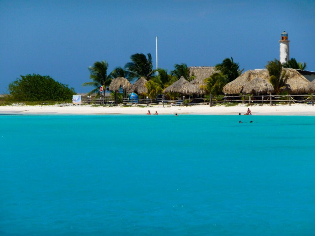
Understanding the magnitude of travel within Guna Yala requires a close analysis of its territorial morphology. The archipelago stretches across some two hundred kilometers of coast, yet the vast majority of the population is concentrated on densely populated islands such as Aguanusadup, El Porvenir, or Cartí Sugtupu. These insular communities, which emerged as a protective strategy against continental diseases and historical conflicts, present a scarce land surface where cane-walled and palm-thatched dwellings crowd right up to the water’s edge.
This spatial arrangement generates an absolute dependence on the aquatic medium for any essential activity, from the supply of fresh water—most of which must be transported from mainland rivers—to the transport of school-age children and the distribution of basic foodstuffs. The shallow channels separating the cays act as true liquid streets, transited from sunrise to sunset by boats of all drafts. The cartography of the comarca is not drawn with large paved highways, but with navigation routes marked by the accumulated expertise of generations of Guna fishermen and sailors.
The Maritime Backbone: Canoes, Speedboats, and the Tide
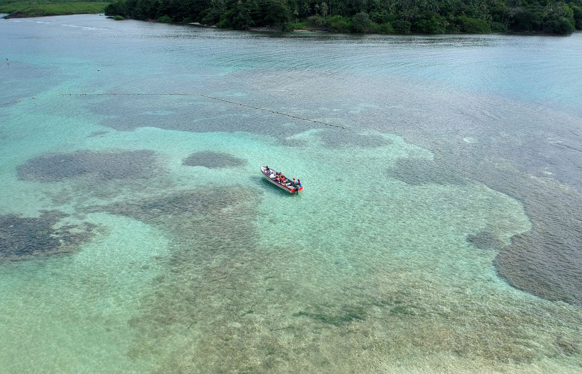
The heart of San Blas’s transport system beats to the rhythm of minor navigation. The traditional dugout canoe, carved from the trunks of noble trees such as the espavé or cedar, remains the fundamental tool for artisanal fishing and short trips between neighboring islands. However, the urgency of connecting distant communities and meeting the demands of tourism and commerce has driven the massive adoption of fiberglass motorboats powered by robust two-stroke and four-stroke outboard engines.
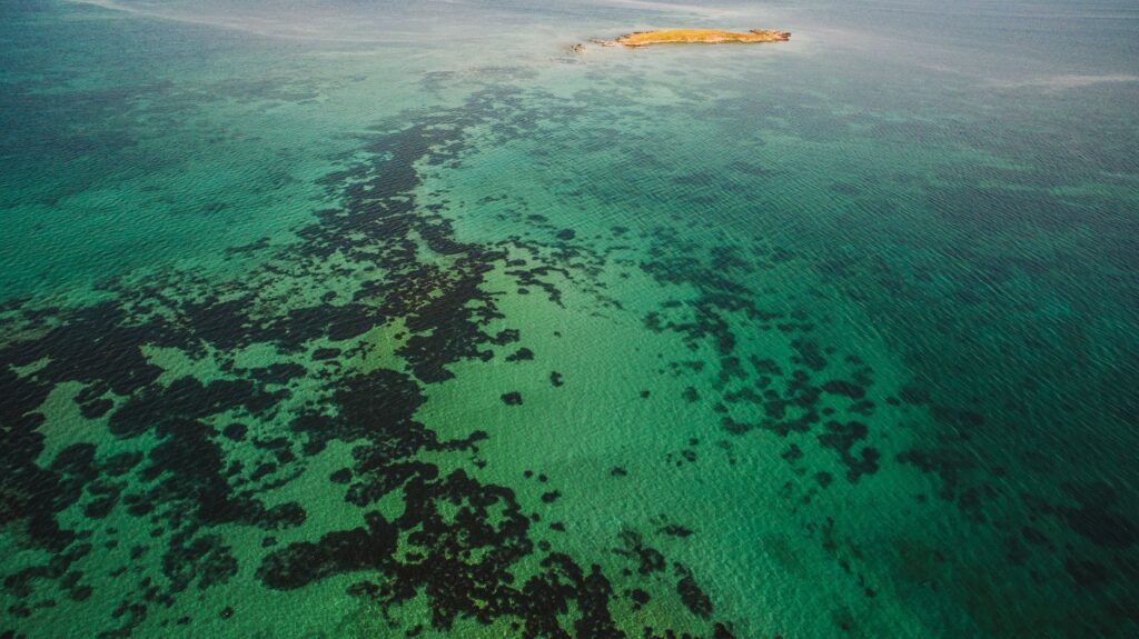
These vessels, operated by skilled local captains, daily challenge the open swell of the Caribbean on journeys connecting continental ports—such as Cartí or Barsukun—with the interior cays. There are no large port terminals here with reinforced concrete docks; boarding and disembarking take place in a rustic fashion on white sand beaches or simple wooden pilings. The safety of these crossings is contingent upon the meteorological judgment of the skippers, who read the water color, cloud formation over the San Blas mountain range, and current behavior for unmistakable signs of impending storms.
The Overland Route and the Challenge of the Mountain Range
Although Guna Yala is a marine archipelago, its connection to the rest of Panama critically depends on a single, challenging terrestrial route: the road descending from the Pan-American Highway, winding through the dense Guna Yala Massif National Park. This road, paved in stretches but heavily battered by landslides during the rainy season, climbs to over a thousand meters of altitude before plunging toward the Caribbean coast in a technical and sinuous descent.
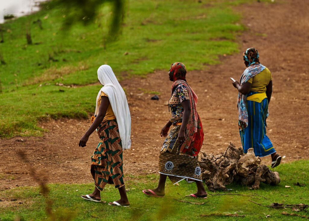
The transport of goods and passengers along this road requires rugged four-wheel-drive vehicles capable of enduring steep grades and extreme weather conditions. The supply trucks and shared taxis running from Panama City to the embarkation ports are the economic umbilical cord of the comarca. Any interruption on this route, caused by fallen trees or swollen mountain rivers, instantly isolates the insular communities from their continental provisioning sources, highlighting the structural fragility of this road artery.
Landing on the Sand: Airstrips of the Cays
Light aviation constitutes the most vulnerable yet indispensable link in the San Blas transport system. Small landing strips, many consisting of compacted sand or short grass over the coral surface of cays such as El Porvenir, Corazón de Jesús, or Achutupu, allow travelers to bridge distances in minutes that by sea would require hours of navigation under adverse conditions.

These aviation operations are subject to strict technical limitations. The single-engine and twin-engine aircraft operating from Albrook Airport in the Panamanian capital must contend with unpredictable crosswinds, the absence of complex radio navigation systems on the strips, and the rapid degradation of landing surfaces due to salt action and spring tides. Despite these restrictions, this air service remains the primary route for emergency medical evacuation, institutional mail, and the transfer of international visitors seeking direct access to the archipelago’s eco-lodges without enduring the demanding land and sea journey.
Economy, Tourism, and Pressure on Infrastructure
In recent decades, the rise of international tourism has profoundly transformed mobility dynamics in Guna Yala. The steady arrival of travelers drawn to the scenic purity of the cays has exponentially increased speedboat traffic and the demand for fuel, mechanical spare parts, and maintenance services. This economic growth coexists with strict regulations imposed by the General Guna Congress, which prohibits foreign ownership of land and tourism infrastructure, ensuring that control over transport modes and accommodations remains in community hands.
However, this tourist pressure tests the carrying capacity of fragile insular ecosystems and local transport systems. The management of solid waste generated by the visitor influx, fuel scarcity during demand peaks, and the need to modernize vessels without compromising navigational safety are ongoing debates among local leadership. Transport infrastructure must thus respond to a dual demand: sustaining the livelihood of a population rooted in its cultural autonomy and absorbing the impact of a globalized economy.

Practical guide
Planning a journey or a visit to the Guna Yala comarca requires understanding and respecting the regulations inherent to its autonomous regime. The essential guidelines for understanding the territory’s logistics are detailed below:
- Terrestrial Access Point: The main vehicle entry is made from Panama City via the road toward the Narganá/Cartí district. Four-wheel-drive vehicles are required due to steep gradients and the condition of the mountain road.
- Entry Control: All visitors must register at the El Llano border checkpoint, presenting a valid passport or identity document and paying the required entry fees for both the comarca and the embarkation port.
- Insular Navigation: Transfers between cays are coordinated directly at the Cartí ports with local speedboat captains. The use of life jackets is mandatory throughout the entire maritime crossing.
- Air Connectivity: Local airlines operate charter and scheduled flights from Albrook Airport (PAC) to insular airstrips. Schedules are strictly subject to weather conditions and daytime visibility.
- Autonomy and Respect: Transport and local rules are regulated by the General Guna Congress. Photographing local residents without prior consent is prohibited, and the restriction on single-use plastics on the islands must be strictly respected.
Visual Epilogue in the Heart of the Caribbean
At dusk, when the silhouette of the continental mountain range merges with the dark horizon of the Caribbean Sea, activity in the channels of Guna Yala experiences a reverent pause. The final boats of the day return to improvised wooden docks, skillfully hauled onto the sand while fishermen clean their nets beneath the flickering light of lanterns. In this outpost where modernity pauses before respect for tradition and the indomitable force of the ocean, transport is not merely a matter of mechanical engineering, but the steady heartbeat of a people who have turned distance and isolation into the pillars of their unshakable cultural identity.