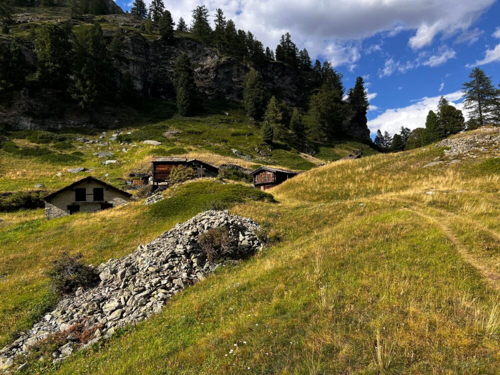
At the northernmost frontier of the United Kingdom, where the waters of the North Sea merge with the Atlantic Ocean, the Shetland archipelago stands as a geological rampart of sheer cliffs and deep inlets known locally as voes. This boreal edge, whipped by perpetual winds and shaped by a millennial maritime tradition, offers one of the most fascinating and demanding coastal navigation experiences in Europe. Far from conventional tourist routes, Shetland demands a deliberate attention from travelers, a deep understanding of tidal patterns, and an absolute respect for an environment where dry-stone architecture and sentinel lighthouses tell the story of a tenacious survival.
The insular geography is not merely an aesthetic backdrop, but a dynamic system that dictates every movement. Inshore maritime communications, historically operated by local vessels adapted to relentless swells, constitute the true connective tissue between the main islands and the peripheral islets. Understanding this territory involves delving into the engineering of its small natural harbors, sheltered by dark granite breakwaters, and observing how insular communities have utilized local stone to erect dwellings capable of withstanding winter storms without losing their sober elegance.
The Geography of the Voes: When the Sea Sculpts the Land
Shetland’s voes are the direct result of glacial erosion, submerged valleys that penetrate deep into the interior of the islands, creating corridors of calm waters protected from the fury of the open sea. These arms of the sea have functioned since Viking times as the only safe access routes for coastal navigation. Along their banks, human intervention has been carried out with extreme discretion, constructing traditional stone piers and maritime warehouses that today form an undisputed part of the archipelago’s protected landscape.
Navigation through these channels requires profound knowledge of tidal currents and katabatic winds descending from the peat hills. Local skippers, true guardians of nautical memory, guide smaller vessels with pinpoint accuracy, taking advantage of natural bends to avoid the most violent waves. This symbiotic relationship between the mariner and the ice-carved channel defines the very essence of travel in northern Scotland, where each crossing is an exercise in careful reading of natural elements.

Dry-Stone Architecture: The Art of Raising Walls Against the Wind
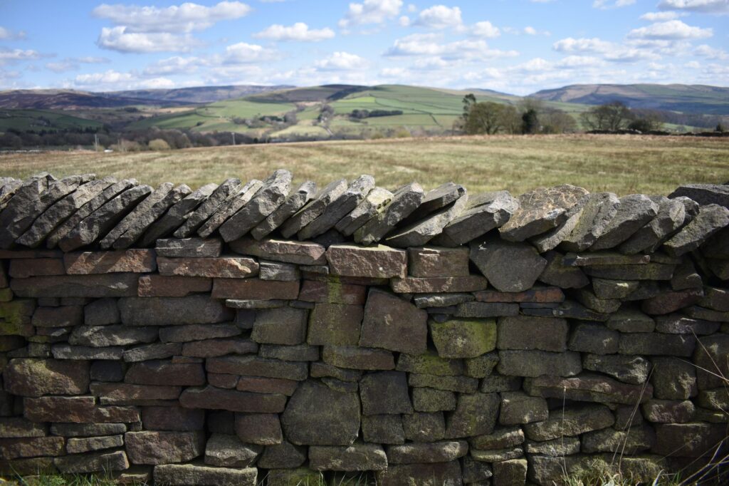
On land, Shetland’s landscape is guarded by miles of dry-stone walls, a meticulous technique that dispenses with any form of mortar. Local shepherds and builders have stacked sandstone and schist slabs for generations, creating a geometric network that divides pastures without altering the natural drainage of the soil. This vernacular architecture not only delimits property, but acts as a thermal and wind shield for livestock and hardy crops, demonstrating a constructive intelligence perfectly adapted to the boreal climate.
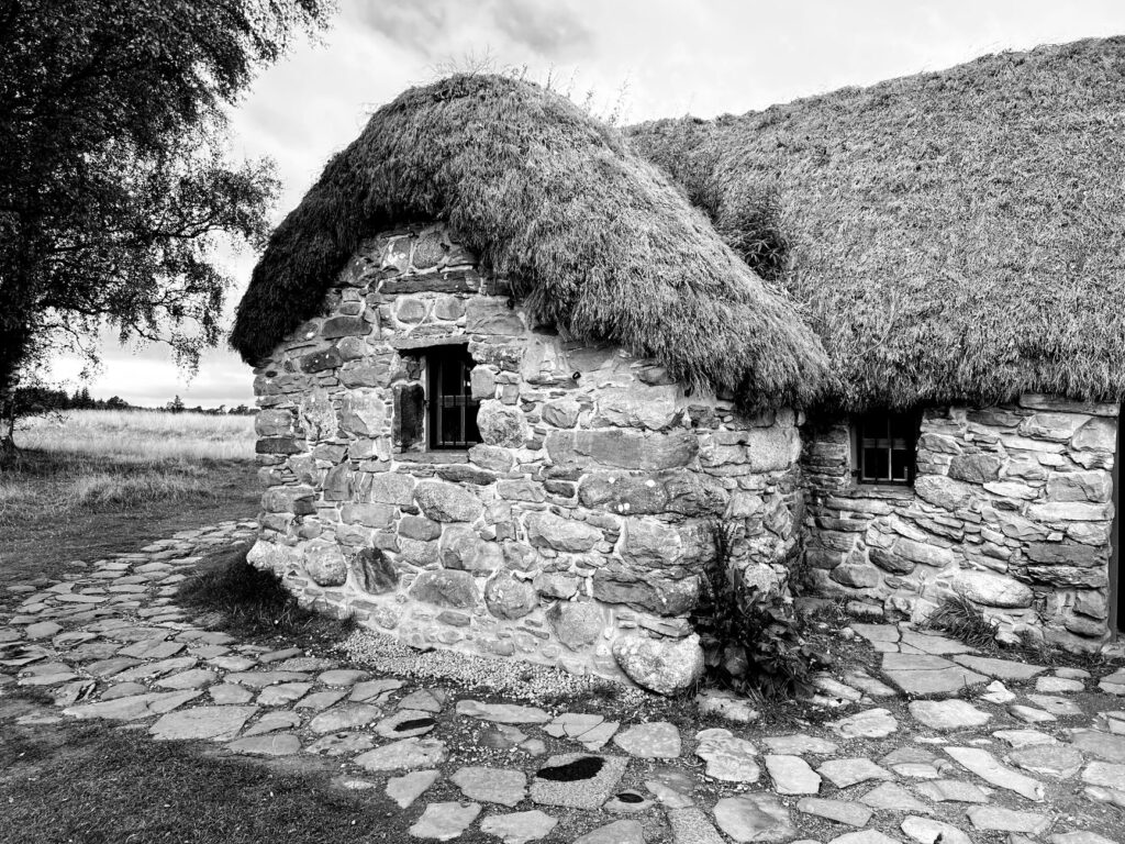
Traditional dwellings, known as blackhouses in other Scottish regions but endowed here with singular robustness, evolved from primitive wooden structures to double-walled stone fortresses with turf air cavities and thatched roofs secured by ropes and hanging stones. Today, the rigorous restoration of these buildings provides insight into the evolution of human habitats in an environment devoid of native forests, where stone and sea have been the sole providers of material resources.
Sentinel Lighthouses: Civil Engineering Facing the Atlantic Abyss
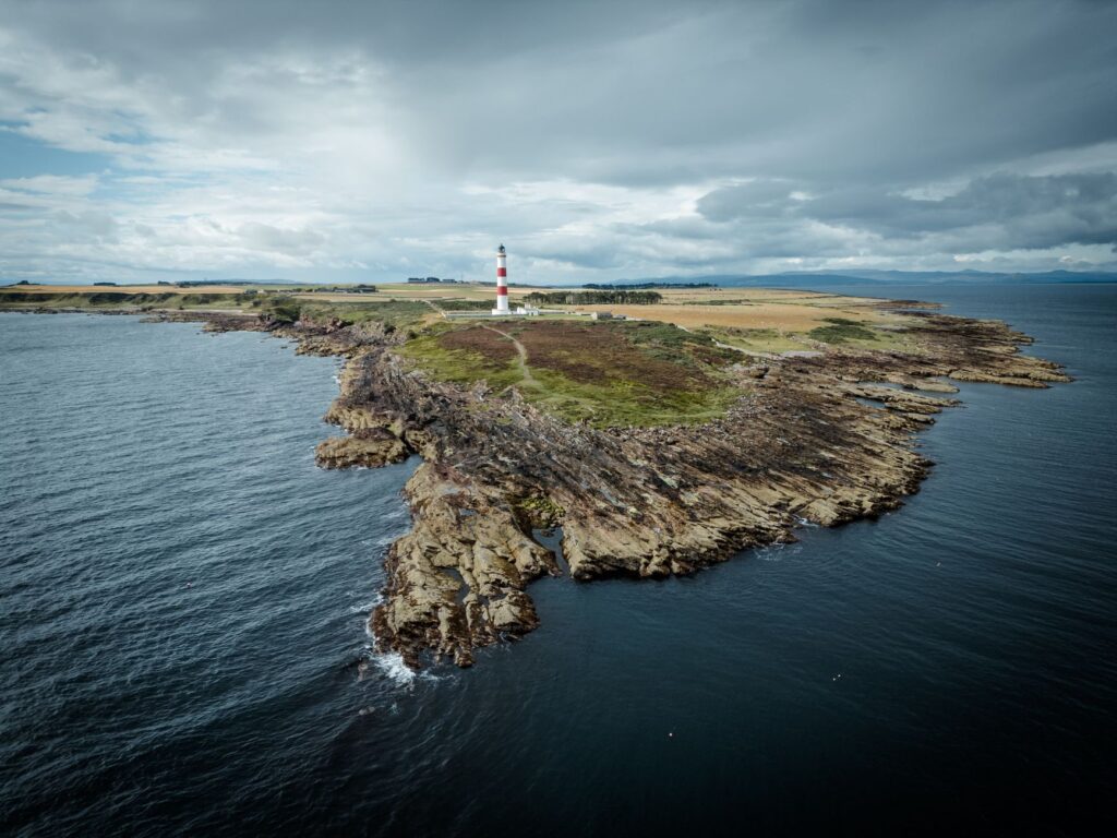
The history of navigation in Shetland cannot be understood without the network of lighthouses designed in the nineteenth century by the prestigious Stevenson family. Structures such as the Sumburgh Head lighthouse or Muckle Flugga, situated at the northernmost tip of the archipelago, represent monumental milestones of Victorian civil engineering. Built upon rocky outcrops whipped by giant waves, these buildings combined technical functionality with an aesthetic of unshakeable solidity, designed to instill security in navigators plying trade routes toward the Baltic and the Arctic.
Access to these enclaves was achieved through steep paths carved into the rock and rudimentary funiculars that allowed fuel and provisions to be hoisted during severe storms. Visiting these towers of light reveals the logistical complexity of their construction and the heroic isolation endured by lighthouse keepers, whose logbooks reflect with scientific precision the fury of the elements and the variability of ocean currents converging at these latitudes.
Fishing Tradition and Refuges Harbors on the Eastern Coast
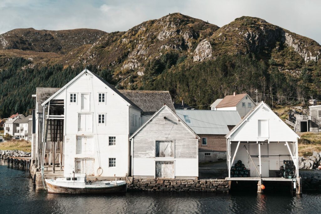
While the western coast faces the direct fury of the Atlantic, Shetland’s eastern coast offers a gentler profile yet is equally tied to the sea. Historical ports such as Lerwick and Scalloway have acted for centuries as safe anchorages for international fishing fleets, from seventeenth-century Dutch whalers to modern pelagic trawlers. The urban architecture of these ports reflects a prosperous blend of Scandinavian and Scottish influences, with stone warehouses aligned directly over the water to facilitate the loading and unloading of goods.
Maritime trade and deep-sea fishing shaped an economy based on exchange and a profound understanding of marine species. Local fish markets continue to operate with strict sustainability standards, keeping alive a community tradition where seafaring labor is passed down from parents to children. This constant movement of smaller vessels through interior channels maintains an economic and cultural pulse that contrasts with the apparent solitude of the interior moorings.
Burried Archaeological Heritage: From Brochs to Pictish Settlements
Shetland’s subsoil and coastal elevations harbor exceptional archaeological heritage testifying to human occupation spanning over four thousand years. Brochs, circular dry-stone defensive towers built during the Iron Age, are the most enigmatic exponents of this military architecture. Mousa Broch, standing almost entirely to a height exceeding thirteen meters, is a masterpiece of prehistoric engineering that defies the laws of gravity and demonstrates advanced knowledge of structural stability through hollow walls and interior galleries.
These monuments served not only a defensive function against maritime incursions, but also as communal power centers and grain stores. Rigorous excavation of these sites has unearthed bone tools, pottery, and decorative objects revealing a highly active trading network across northern seas, connecting the islands with continental Europe long before written chronicles appeared.
Marine Fauna and Responsible Observation on the Cliffs
The vertical cliffs of Noss and Hermaness constitute ornithological sanctuaries of international importance, where millions of seabirds, including puffins, gannets, and skuas, nest during the summer months. Coastal navigation in the vicinity of these rock faces allows visitors to contemplate the dynamics of marine fauna in its natural habitat, always maintaining safe distances to avoid disrupting breeding cycles. Grey seals and porpoises complete a vibrant marine ecosystem dependent on water cleanliness and low tourism pressure in the region.
Local authorities and conservation organizations have implemented strict regulations to govern boat access to these protected areas, fostering nature tourism based on scientific observation and absolute respect. Guided tours in eco-friendly rigid inflatable boats offer a unique perspective of the coastal geology, allowing travelers to understand the interdependence between cliff stability and the biological richness of surrounding marine currents.
True exploration in the northern boreal realm does not consist of conquering unexplored spaces, but of learning to read the subtle traces that sea and stone have etched into the landscape over millennia.
The rhythm of insular life is dictated by meteorological unpredictability, compelling both residents and visitors to adopt an attitude of flexibility and patience. Ferries connecting minor islands operate with timetables subject always to the capricious truce of the winds, turning simple logistical planning into an exercise in accepting the natural environment. This direct reliance on the elements fosters respectful coexistence and a profound sense of community among Shetland’s inhabitants.
Practical guide
How to get there: The primary access to the Shetland archipelago is via overnight ferries operated by NorthLink Ferries from Aberdeen to Lerwick, taking approximately twelve hours, or through regular flights from major Scottish airports to Sumburgh Airport.
When to go: The months between May and August offer the best weather conditions, longer daylight hours thanks to northern latitudes, and peak activity for marine fauna and seabird colonies on the cliffs.
Internal transportation: Renting a vehicle with adequate clearance is essential for exploring the islands and accessing remote voes and lighthouses. Secondary roads are single-track roads equipped with passing places to facilitate safe vehicle crossing.
Accommodation: Advance booking is recommended in restored traditional guesthouses, small local hotels, or historic stone cottages adapted for sustainable tourism on the islands of Unst, Yell, and Mainland.
Health and safety precautions: Checking meteorological and marine reports is mandatory before undertaking any coastal excursion or minor boat trip, as shifting tides and winds can abruptly alter navigation conditions.
Local gastronomy: The culinary offering highlights fresh fish, free-range seaweed-fed lamb (Shetland Lamb), and artisanal dairy products crafted on local farms.
Environmental respect rules: Disturbing seabird nesting areas, collecting stones from historical walls, or leaving waste in protected nature reserves across the archipelago is strictly prohibited.
The boreal twilight in Shetland, known seasonally as the simmer dim light during the summer solstice, bathes the granite cliffs in a golden gloom that seems to linger indefinitely. In that absolute silence, broken only by the distant squawk of seabirds and the constant murmur of waves against dry-stone, travelers grasp the magnitude of a territory that refuses to submit to the rush of the modern world. Remaining motionless before the North Sea is, ultimately, the most honest act of travel this Atlantic borderland can offer.