
Bass Strait is not merely a body of water separating the southeastern extremity of Australia from the insular state of Tasmania; it is one of the most unforgiving maritime corridors on the planet, a trench where the roaring forties and Antarctic gales converge without landmasses to check their momentum. In this theater of unpredictable swells and pink granite rocks, human connectivity ceases to be a logistical convenience and becomes a matter of territorial survival. The Furneaux Islands, situated at the heart of this tempestuous channel, rely on a delicate intermodal fabric combining heavy coastal navigation, short-strip light aircraft, and a network of rural roads where asphalt is a rare luxury.
Understanding how both residents and goods move in this remote corner of Oceania requires looking beyond traditional tourism brochures. Here, the rhythm of economic and social life is dictated by tides, aerodrome visibility, and the endurance of vessels specifically designed to withstand the battering of the Tasman Sea. Every kilogram of fresh provisions, every all-terrain vehicle, and every visitor arriving on Flinders Island passes through a system where intermodality does not respond to corporate efficiency charts, but to the sheer necessity of geographical adaptation.
The Geography of Wind and Salt: Anatomy of Bass Strait
To gauge the transport challenge in Bass Strait, one must examine its underwater and atmospheric relief. With an average depth rarely exceeding sixty meters, this shallow seabed acts as a wave amplifier when westerly winds whip the region. The Furneaux Islands, an archipelago comprising over fifty geographical features where Flinders is the largest landmass, emerge as the remnants of an ancient land bridge that once connected the Australian mainland with Tasmania before the end of the last glaciation.
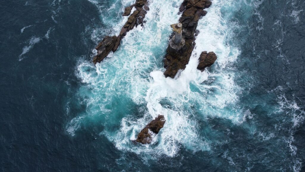
This condition of isolated terrestrial remnants dictates that every transport infrastructure must cope with intermittent isolation. Winter storms can suspend air traffic for days and delay the arrival of cargo ships, isolating communities of just a few hundred residents. Reliance on weather is absolute, forcing local planners to maintain supply sovereignty based on stockpiling warehouses and decentralized power generation systems that mitigate ruptures in the logistical chain.
The Floating Umbilical Cord: Roll-on/Roll-off Vessels and Heavy Cabotage
The material sustenance of Flinders Island rests upon the shoulders of vessels specialized in roll-on/roll-off cargo and container transport, operated by regional shipping lines intimately familiar with every shoal in the strait. These ships transport not only fuel, agricultural machinery, and construction materials, but also the sheep and cattle that form the region’s primary economic engine, destined for the markets of Launceston and Melbourne.
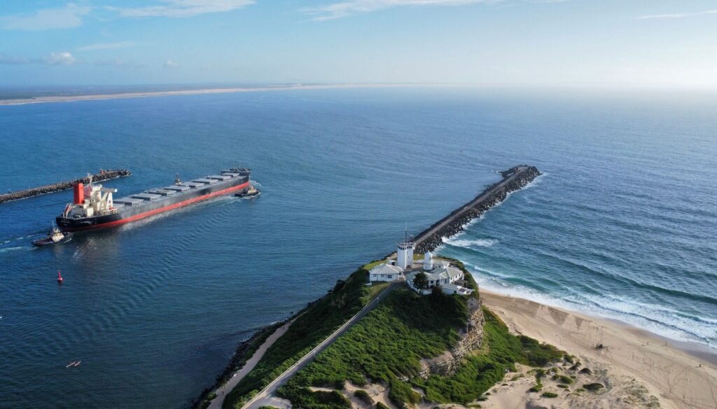
Docking operations at the port of Lady Barron illustrate the complexity of this activity. Unlike large automated port terminals, maneuvers here depend on the expertise of local skippers who must interpret crosscurrents and sudden gusts without the aid of high-powered tugboats. Port infrastructure is modest yet robust, designed to withstand spring tides and allow the direct ramp unloading of articulated trucks that will subsequently traverse the island’s secondary roads.
Bass Strait tolerates no improvisation; every ton of cargo crossing its waters is the result of a millimetric calculation between engine horsepower and the fury of the barometer.
Beyond heavy freight transport, maritime traffic fulfills an irreplaceable social function for residents preferring to move private vehicles or complete household relocations. Although the crossing time can exceed ten hours from Tasmanian continental ports, the relative stability of these vessels compared to light aircraft makes them the only viable option for oversized loads.

The Airway of Crosswinds: Airstrips and Regional Aviation
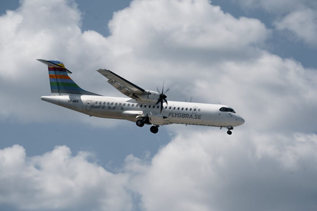
When the sea in Bass Strait becomes impassable, the sky becomes the sole available bridge. Whitemark Airport, located on the western coast of Flinders Island, operates as the region’s main human connectivity node, receiving scheduled flights of twin-engine turboprops operated by regional airlines specializing in mixed-surface runways.
Pilots with extensive experience in visual and instrument navigation contend with constant crosswinds demanding precision landings on strips where the proximity of the saline ocean accelerates corrosion in lighting equipment. These flights transport not only travelers and medical professionals, but also urgent mail, laboratory samples, and critical mechanical spare parts that cannot wait for the next maritime cargo cycle.
Managing these secondary aerodromes requires constant community effort. Lacking high-complexity automated control towers, safety depends on rigorous ground-air communication systems and manual maintenance of landing strips, kept free of obstacles and adapted to withstand the repeated impact of medium-sized commercial aircraft.
The Interior Terrestrial Network: Gravel Tracks and Four-Wheel Drive Vehicles
Once people and goods touch down on Flinders Island, connectivity shifts to a road network dominated by compacted gravel tracks and red dirt roads. With the exception of paved sections connecting the main settlement of Whitemark with Lady Barron port and the airfield, most road infrastructure demands vehicles equipped with four-wheel drive and reinforced tires protected against cuts caused by crushed granite.
Maintaining these routes represents a crucial budgetary item for local government, as torrential rains and the constant passage of livestock trucks rapidly erode the surface. The durability of roadbeds is permanently tested, requiring motor graders and ballast equipment to be stationed permanently at various strategic points across the insular territory.
For the traveler and inhabitant, traversing these routes means adopting a leisurely pace of travel, where geographical distance is measured not in kilometers covered, but in roadbed conditions and the day’s weather. This deliberate slowness acts as a natural filter against mass tourism, preserving the rugged and solitary character of the archipelago.
Energy and Telecommunications Pulse: The Other Intermodality
No analysis of transport in the Furneaux Islands would be complete without examining the invisible infrastructure enabling the coordination of physical movement: energy and telecommunications networks. Disconnected from mainland high-voltage grids, the islands rely on a hybrid system of diesel generation and localized wind power farms, whose fossil fuel logistics are intimately tied to the very ships supplying local commerce.
Likewise, microwave links and submarine fiber optics connecting the archipelago with Tasmania and Victoria guarantee real-time coordination of emergency services, air traffic control, and ferry booking systems. Technological redundancy thus becomes an indispensable lifeline preventing geographical isolation from turning into absolute informational isolation.
Practical guide
How to get there: Scheduled flights to Whitemark Airport operate from regional airports in Tasmania (Launceston) and Victoria (Melbourne/Essendon) via airlines specializing in island routes. Maritime freight and passenger transport with personal vehicles is available from the port of George Town in Tasmania via regular roll-on/roll-off ferry services.
When to go: The period between December and March (austral summer) offers the most stable meteorological conditions, with lower probabilities of flight cancellations and severe sea crossings due to storms.

Interior transport: Renting four-wheel drive (4×4) vehicles equipped with an additional spare tire is essential. Gravel tracks require cautious driving, respecting speed limits and yielding right-of-way on single-lane bridges.
Accommodation and supplies: Flinders Island features small hotels, self-contained cottages, and designated campsites. Advance booking is crucial due to limited capacity, and grocery shopping should be coordinated respecting the restocking schedules of local shops.
The journey’s end on Flinders Island is experienced not in a grand passenger terminal or the bustle of a coastal metropolis, but at dusk atop the granite cliffs of Castle Rock, when golden light fades over the horizon of the Tasman Sea. There, seated before the saline expanse where sky and water blur their contours into a single gray tone, the traveler grasps the true dimension of the human effort sustaining this territory. The silence enveloping the landscape is nothing less than the respectful pause of a community that has learned to live with isolation, where every landing aircraft and every ship docking at the roadstead represents a daily triumph against the vastness of the ocean.