
The Arctic Circle is not a static line drawn on a school map; it is a climatic boundary that imposes its own uncompromising rules on civil engineering and human transport. In the northwestern extremity of Norway, the Lofoten archipelago unfolds like a rampart of granitic peaks rising vertically from the Norwegian Sea. For centuries, this geographical outpost depended exclusively on rowing and sailing boats navigating treacherous fjords. Today, modernity has woven a network of cantilevered roads, subsea tunnels, and high-seas ferries attempting to tame a territory where tidal currents frequently exceed six knots and fierce winter gales test the resilience of any mechanical infrastructure.
Understanding mobility in Lofoten requires abandoning the comfort of continental highways. Here, the E10—known as King Olaf’s Way—acts as the backbone stitching together the main islands from Svolvær down to Å. Yet this asphalt is not a continuous block, but rather a choreographic succession of arched bridges spanning marine abysses and causeways reclaimed from the water. The fragility of this system lies in its absolute dependence on marine meteorology. When Atlantic depressions unleash their full fury upon the archipelago, road closures caused by rockfalls or lateral winds exceeding thirty meters per second leave entire communities cut off from the outside world within hours.
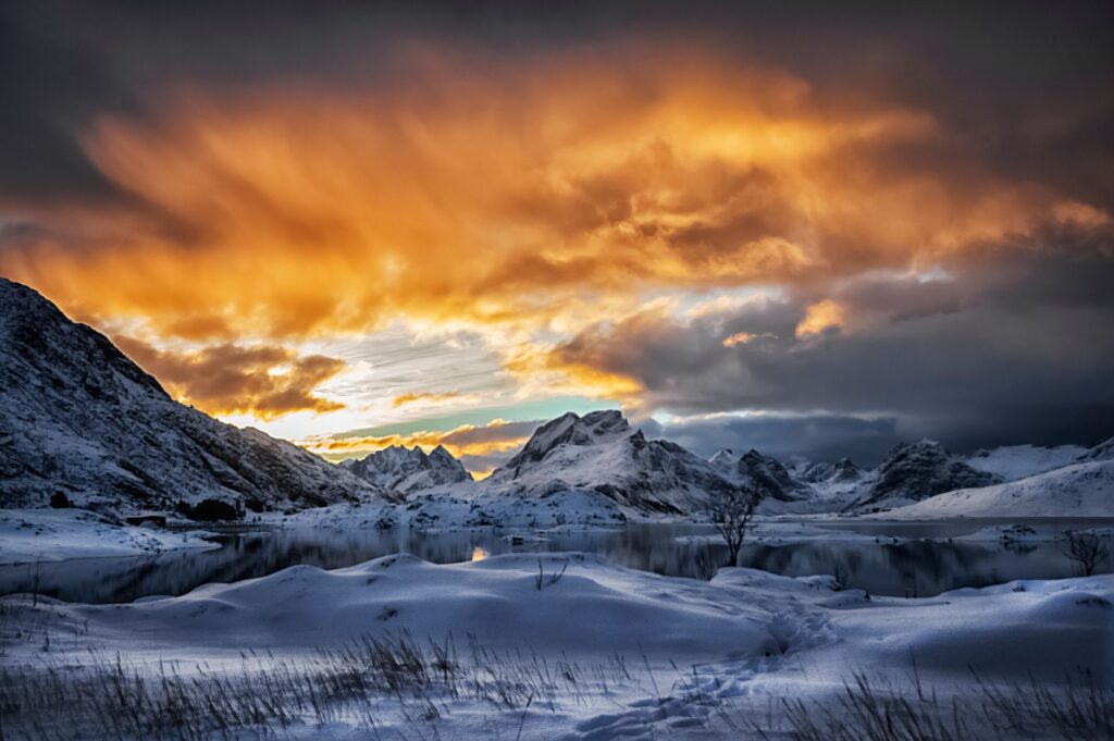
The Geography of Isolation and Route Evolution
The history of transport in the archipelago is, at its core, the chronicle of overcoming insular isolation. Until the second half of the twentieth century, communication among the smaller islands depended on local steamships known as lokalruter. These vessels carried not only passengers but also vital medical supplies, mail, and the salted fish that formed the region’s economic engine. Over time, Norwegian district policies prioritized territorial integration through large-scale engineering projects, culminating in the ambitious Lofast project in the late nineties, which finally connected the archipelago directly to the mainland without relying exclusively on maritime routes.
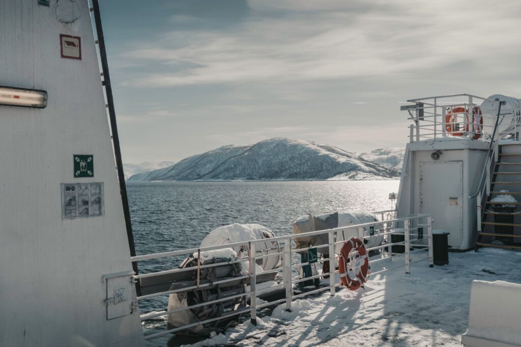
Despite the emergence of road tunnels and viaducts, the sea still reclaims its operational prominence. Ferry routes linking Moskenes to Bodø or connecting the peripheral islands of Værøy and Røst represent the logistical lifeline for heavy freight and fuel transport. These ferries, specifically designed to withstand the open swells of the Vestfjorden—one of Europe’s most unpredictable maritime stretches—operate under strict schedule windows that are constantly adjusted according to weather reports issued by the Norwegian Meteorological Institute.
The Engineering of Suspension Bridges and Subsea Tunnels
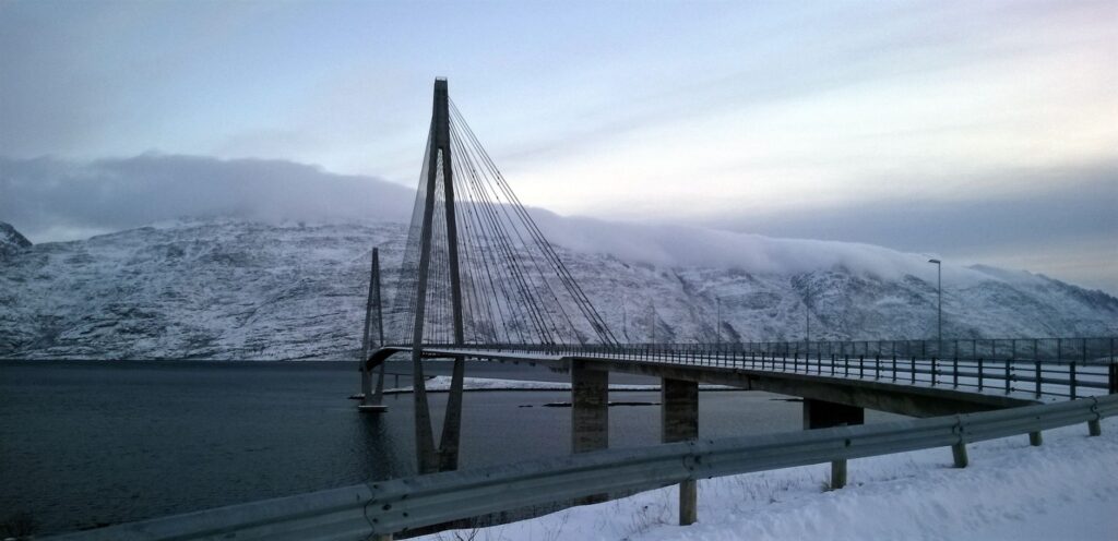
Driving through Lofoten is a continuous exercise in awe of technical audacity. Iconic structures such as the Gimsøystraumen bridge or the Sundklakkstraumen bridges defy open winds through aerodynamically calculated profiles. Norwegian engineers have had to design foundations capable of withstanding the impact of floating ice blocks and the constant pressure of spring tides. Beneath sea level, the network plunges into the earth’s interior via subsea tunnels such as Kjerringneset or Fittjevatnet, where gradients occasionally reach an eight percent slope, demanding rigorous maintenance of drainage systems to prevent black ice formation during the long months of winter darkness.
This complex road network not only supports local traffic from residents and fishermen, but also absorbs an exponentially growing stream of summer tourists. The surge in campervans and rental vehicles during the months of continuous daylight has strained the load-bearing capacity of roads originally designed for much more modest, utilitarian transit. Bottlenecks at single-lane bridges—where drivers must yield right-of-way via automated signals—have become the contemporary symbol of the clash between global tourism development and the resilience of an insular infrastructure as delicate as it is fascinating.
The Logistical Pulse of the Ferry Fleet
Maritime transport in the archipelago is not a secondary service, but the circulatory system preventing total paralysis in remote communities. Operators like Torghatten Nord manage a fleet of versatile ferries combining traditional diesel propulsion with hybrid battery systems, thereby reducing the carbon footprint in a protected natural environment. These vessels are equipped with reinforced bows and advanced stabilization systems that minimize rolling when crossing the open waters of the Vestfjorden, a journey of approximately three and a half hours separating Moskenes from the mainland city of Bodø.
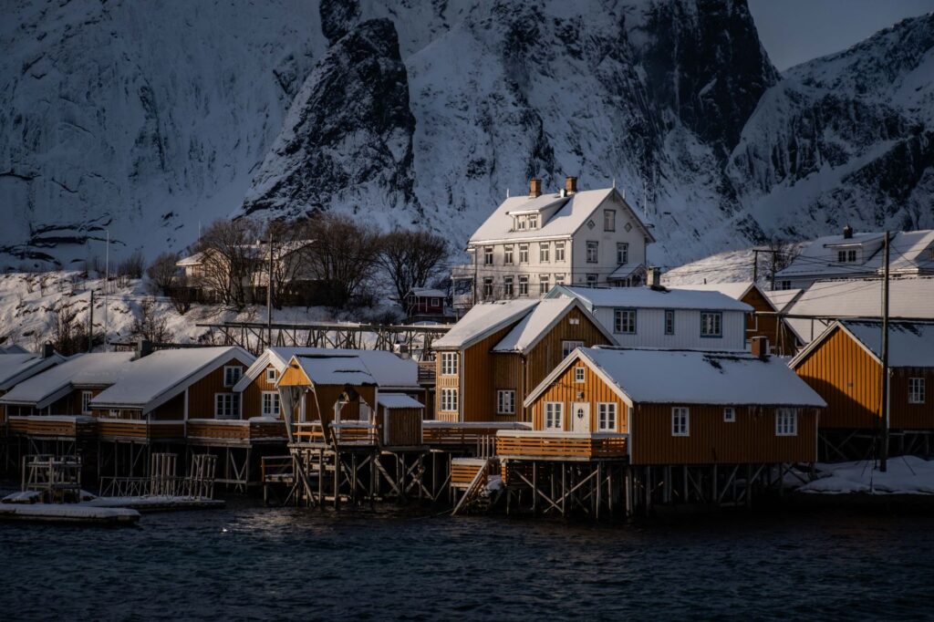
The arctic sea does not negotiate deadlines; it imposes its own pauses through sudden gales that force the immediate suspension of any crossing without prior notice.
Coordination between the schedules of these ferries and the local bus network is an exercise in pinpoint precision. If a storm delays the arrival of the morning ferry due to hurricane-force winds in open water, the entire downstream logistical chain—including school transport and the distribution of perishable goods in Atlantic coastal fishing villages—suffers immediate disruption. Local transport authorities rely on digital information panels and real-time apps to warn users of unforeseen cancellations, though at sea the ship captain always holds the final authority.
Climate Vulnerability and Polar Winter Challenges
During the polar night, when the sun fails to cross the horizon for weeks, Lofoten’s transport system faces its most severe test. Snowstorms known as snøstorm reduce visibility to zero within minutes, turning elevated fjord roads into icy traps. Road maintenance crews operate tirelessly with rotary snowplows and high-precision GPS-equipped snow-clearing vehicles to keep emergency routes open. Nevertheless, avalanches cascading down the vertical slopes flanking the E10 force the preventive closure of entire stretches, isolating fishing valleys like Nusfjord or Henningsvær for days on end.
Adding to this winter complexity is the phenomenon of coastal subsidence and erosion driven by rising sea levels and intensifying Atlantic storms. Several road sections built on stone causeways in the first half of the twentieth century suffer recurring damage from the combined action of swells and spring tides. Civil engineers face the dilemma of elevating current alignments or boring large-scale economic tunnels, weighing financial viability against the right of small island communities to maintain a permanent, secure connection with the mainland.
Practical guide
Planning a journey or exploration trip through Lofoten’s transport system requires rigor, flexibility, and a thorough understanding of available logistical tools. The essential operational keys are detailed below:
- Road Route Planning: Always consult the official Norwegian traffic information platform (Vegvesen Trafikk) to check road closures, tunnel maintenance work, and restrictions due to wind or avalanche risk before embarking on any journey along the E10.
- Advance Ferry Bookings: For high-demand routes connecting Bodø to Moskenes or Skutvik, booking vehicle space weeks in advance during the summer season is strictly mandatory, paying close attention to differentiated tariffs for passenger cars and campervans.
- Arctic Driving Conditions: Ensure your rental vehicle is equipped with approved studded tires (in winter) and always keep your fuel tank or battery above fifty percent, as service stations can be distant from one another.
- Schedule Flexibility: Always build a margin of at least twenty-four hours into your return flight or train connections in Bodø, given that ferry suspensions due to bad weather in the Vestfjorden are common and can last for days.
- Public Transit Utilization: The regional bus network (operated by local franchise holders) is synchronized with major ferries, but frequencies drop drastically during weekends and winter months.
The experience of traversing this extreme archipelago transcends mere physical movement; it constitutes a direct immersion into the fragility of human bonds with the most indomitable nature. Every bridge defying the wind and every ferry hull cutting through the dark waters of the fjord stands as a constant reminder that mobility in the Arctic Circle is not an acquired right, but a delicate balance sustained by engineering tenacity and absolute respect for the elements.
As you contemplate the serrated silhouette of Reine’s mountains from the deck of a retreating ferry, the golden light of the midnight sun or the faint bluish glow of the arctic twilight envelops the landscape in an imposing calm. In that final moment, the roar of engines fades away in memory, leaving only the certainty of having traveled across one of the most beautiful, complex, and vulnerable transport arteries on the planet.