
Introduction to Oceanic Isolation in the South Pacific
The insular territory of the Cook Islands, situated within the vast expanse of the South Pacific Ocean, embodies one of the most challenging geographical realities on the planet regarding connectivity. While the southern islands, spearheaded by Rarotonga and Aitutaki, enjoy consolidated airport infrastructure and regular commercial aviation fleets, the northern group operates under entirely different logics. Remote atolls such as Manihiki, Penrhyn, and Rakahanga are separated by hundreds of nautical miles of open sea, an isolation that turns transport into the backbone of daily survival, local economy, and social cohesion for their Polynesian communities.
Understanding the dynamics of mobility in this region requires shedding any expectations associated with continental logistics or contemporary global transport standards. Here, movement does not respond to immediacy, but rather to the relentless rhythm of monsoons, ocean tides, and the availability of versatile vessels capable of navigating the hazardous coral reefs surrounding each atoll. This report examines how cargo schooners, complex open-sea transfer maneuvers, and nascent light aviation structure a network as vital as it is vulnerable at the heart of Polynesia.
The Geography of Atolls and the Tyranny of Distance
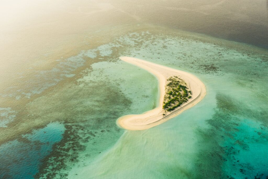
The geographical dispersion of the northern Cook Islands group spans thousands of square kilometers of marine surface, where solid land is barely a tiny coral ribbon emerging a few meters above sea level. Manihiki, historically known as the Pearl Island for its thriving black pearl cultivation industry, and Penrhyn, the northernmost and largest atoll in the archipelago, exemplify absolute dependency on overseas shipping routes. Lacking deep-water ports capable of accommodating large merchant vessels, approaching land becomes an operation of high marine precision.
The vessels supplying these communities are not conventional ocean liners, but robust coastal schooners and mixed cargo ships combining refrigerated holds with space for passengers and fuel. These vessels constitute the umbilical cord connecting the atolls to the administrative center in Avarua. However, the frequency of these voyages is notoriously irregular, depending on volatile factors such as international diesel prices, unforeseen mechanical repairs, and favorable weather windows in the middle of the open ocean.
Coastal Schooners: The Floating Pulse of Northern Polynesia
The backbone of the transport system in the northern Cook Islands rests upon a small fleet of cargo and passenger ships operating under government licenses and private supply contracts. Vessels such as the Lady Moana or similar represent the sole pathway to receive non-perishable food, construction materials, heavy machinery, and essential medical supplies. Each voyage of these schooners northward is planned as a logistics mission lasting several weeks, where every cubic meter of cargo space is rigorously rationed.
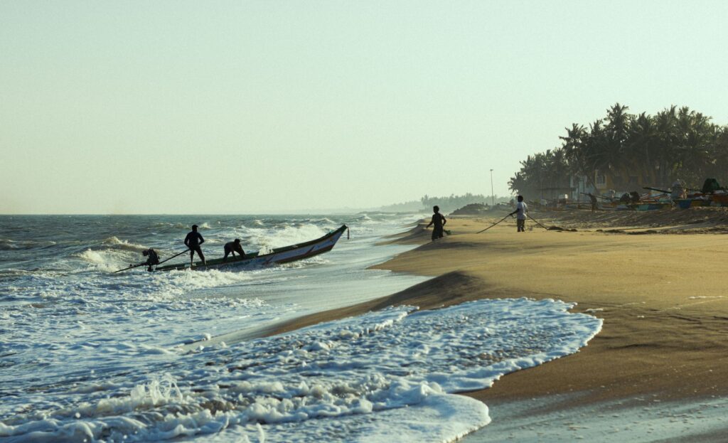
The loading and unloading process in the atolls constitutes one of the most unique and hazardous spectacles in global maritime transport. Lacking piers suitable for deep drafts, freighters must anchor outside the reef, leewards when conditions permit. From that moment, a complex choreography of auxiliary boats, longboats, and small outboard vessels guided by local skippers familiar with every navigable channel among living corals comes into play. Any miscalculation in the face of a sudden swell change can result in the loss of critical cargo for local inhabitants.
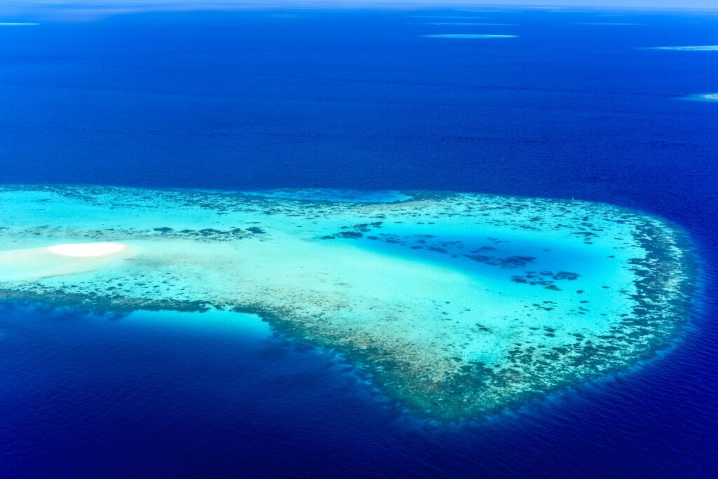
The sea is not merely a geographical obstacle in the northern Pacific; it is the only available path, a liquid trail where seamanship replaces modern signage.
The Challenge of Passenger Transit and the Absence of Regular Airports
Unlike Rarotonga, where international flights land daily, the northern atolls face severe restrictions in their air connectivity. Penrhyn features a coral-surface airstrip on Tongareva Island, but its operability is conditioned by weather and the sporadic availability of charter flights or maritime patrol missions. Manihiki features a similar airstrip on Tukao islet, although regular commercial services are nonexistent or extremely limited due to high maintenance costs and low passenger density.
Consequently, the vast majority of residents and the few travelers venturing into these latitudes must make the crossing by ship, facing journeys lasting three to five days in open-sea conditions that demand great physical endurance. This maritime passenger transit not only moves people, but acts as the primary mechanism for social exchange, bringing together entire families, island authorities, telecommunications technicians, and students returning during holiday periods on improvised decks.
Reef Infrastructure: Channels, Buoys, and Artisanal Marking
Coastal navigation within the interior of atoll lagoons and through their narrow mouths toward the open ocean requires deep empirical knowledge passed down through generations. The passes or channels connecting the outer sea to the inner lagoon are frequently narrow and subject to extremely violent tidal currents, comparable to marine river rapids. Navigating these passes against the tide or with cross-swells presents a constant risk for local transport barges.
The marking of these accesses frequently lacks the sophisticated electronic technology prevalent in Western transport. Visual references consist of land marks, coconut palm alignments, and artisanal buoys anchored by local fishermen and cargo operators. The Cook Islands Port Authority collaborates closely with local island councils to maintain these minimal signals, aware that a failure in channel delineation can cause disastrous groundings on fragile coral ecosystems.
The Impact of Climate Change on Routes and Logistics Security
In recent years, the fragility of the transport system in the northern Cook Islands has been multiplied by the effects of global climate change and the intensification of extreme weather phenomena. Sea-level rise and the higher frequency of severe tropical cyclones in the region periodically alter the bathymetry of access channels, erode the few land surfaces available for provisional airstrips, and endanger artisanal port infrastructure.
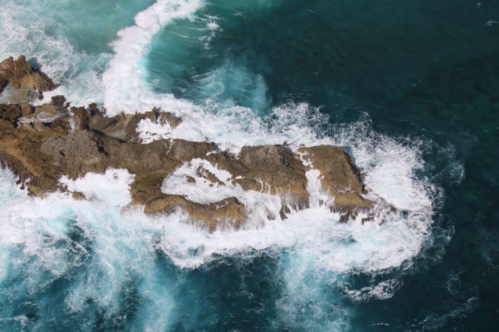
Likewise, warming ocean waters increase the intensity of ground swells striking outer reefs, reducing the temporal windows in which cargo schooners can operate safely. This compels authorities and shipping lines to constantly redesign emergency protocols, prioritizing the creation of strategic reserves of fuel and non-perishable food to mitigate prolonged periods of forced isolation when maritime routes are temporarily suspended.
Food Sovereignty and Transport Diversification Strategies
Given the inherent vulnerability of relying exclusively on external supplies transported by ships taking weeks to arrive, the communities of Manihiki and Penrhyn have driven initiatives aimed at strengthening local autonomy. The diversification of internal production, centered on sustainable artisanal fishing, controlled harvesting of marine resources, and the cultivation of agricultural varieties adapted to impoverished coral soils, seeks to reduce pressure on sea-transported cargo.
Nevertheless, island development experts agree that total self-sufficiency is unattainable without a modernized and resilient maritime and air transport network. Pilot projects are being studied to incorporate smaller-draft coastal vessels powered by hybrid systems and modern rigid sails, aimed at reducing the impact of fossil fuel price volatility and ensuring a more reliable supply periodicity for the atolls farthest from the archipelago.
Practical guide
How to get to the northern Cook Islands: The mandatory starting point is Rarotonga, reached via international flights from Auckland, Sydney, Honolulu, or Los Angeles. From Rarotonga, access to the northern group (Manihiki, Penrhyn) is achieved via authorized cargo schooners or sporadic charter flights coordinated through specialized tour operators and local government agencies.
Formalities and permits: Visiting the northern atolls does not require a prior visa for short tourist stays if general entry documentation to the Cook Islands is held, but it demands explicit authorization from local island councils (Enua) due to the sensitivity of their ecosystems and community structures.

When to travel: The most stable period for navigation in the South Pacific comprises the dry austral months from May to October, when the incidence of tropical cyclones is significantly lower and open-sea conditions prove less severe for maritime transport.
Logistics and luggage: Conventional tourist infrastructure (hotels, ATMs, restaurants) does not exist. Travelers must possess absolute self-sufficiency, carry local currency in cash (Cook Islands or New Zealand dollar), and plan for prolonged stays in case of unforeseen delays on return vessels.
Final Reflection on the Oceanic Horizon
In the expansive silence of the northern Pacific, where the blue horizon merges seamlessly with the sky, the movement of people and goods acquires an almost spiritual dimension. It is not merely a technical question of routes or transit times, but the preservation of an ancient culture that has successfully challenged the vastness of the ocean with ingenuity and absolute respect for nature. As cargo schooners continue to plough the crests of the waves toward the coral atolls, life in Manihiki and Penrhyn will continue to beat to the unhurried, courageous, and deeply human rhythm of the archipelago.