The Vicentine Coast Trail Traverse: Expedition and Hiking Guide Across Portugal’s Atlantic Sea-Cliffs
A rigorous and exhaustive analysis of coastal trekking planning in the southwestern Iberian Peninsula, technical sandy and rugged terrain management, shelter logistics, and self-sufficiency within the Southwest Alentejo and Vicentine Coast Natural Park.
Introduction to the Wild Southwestern Iberian Littoral
The territory where southern Europe accounts to the vastness of the Atlantic Ocean is found neither in high alpine summits nor in southern deserts, but in the indomitable strip uniting the Alentejo and the western Algarve. The Vicentine Route, and specifically its coastal path known as the Fishermen’s Trail, represents one of the most demanding and rewarding coastal hiking experiences on the continent. Far from the mass-marketed circuits of sun-and-sand tourism, this itinerary runs along paths trodden exclusively by local fishermen descending vertical sea-cliffs in search of barnacles and white seabream.
Planning an autonomous traverse across this Atlantic corridor requires understanding that the visual beauty of its sandy beaches and schist and greywacke formations contrasts with considerable physical harshness. Constant progress over loose sandy terrain completely alters the biomechanics of walking, turning every kilometer into an exercise in muscular endurance. This report addresses with technical and analytical rigor the logistics, geography, and preparation essential to successfully undertake one of southern Europe’s most fascinating pedestrian expeditions.
Geography and Dynamics of the Natural Environment
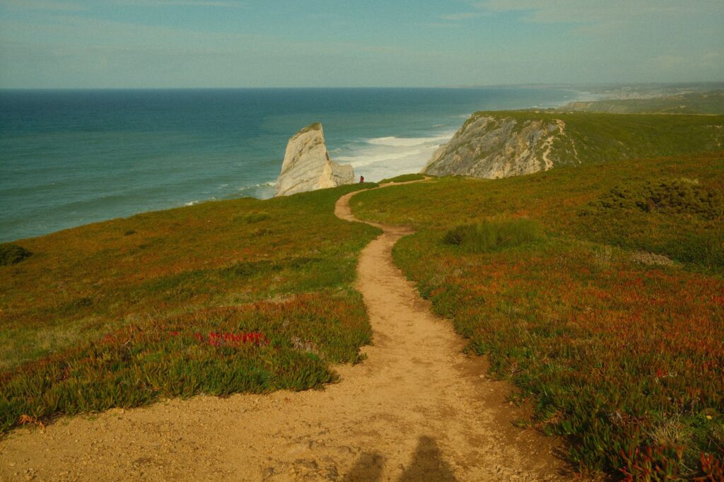
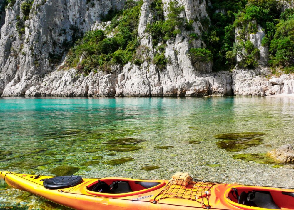
The Southwest Alentejo and Vicentine Coast Natural Park constitutes a protected strip over one hundred kilometers long that preserves one of Europe’s best-conserved littorals. Unlike other Mediterranean coasts transformed by real estate speculation, here the landscape is dominated by sedimentary rock cliffs sculpted relentlessly by westerly winds and the force of an unforgiving sea. Marine erosion shapes an abrupt relief where yellow-legged gulls and white storks nest on rock faces inaccessible to human beings.
Understanding the climatic dynamics of this sector is the first step for any responsible expedition. Dominant north and northwest winds blow strongly throughout much of spring and summer, lowering the windchill factor even on days of intense sunshine. Vegetation, adapted to salinity and scarce fertile soil, is composed of low scrub, rockroses, and creeping junipers that release intense resinous aromas at the slightest touch. The constant interaction between ocean currents and the continental shelf also generates a characteristic morning mist that envelops capes in an atmosphere of absolute isolation.
Logistics Planning and Marching Strategy
Undertaking the Fishermen’s Trail requires precise structuring of stages, calculating distances ranging between fifteen and twenty-two kilometers per day. Although the route is perfectly waymarked with official blue and green markers, the changing nature of the surface alters estimated progression times. A compacted forest track can suddenly transform into a deep, multi-kilometer tongue of sand, forcing the hiker to drastically reduce pace and increase energy expenditure.
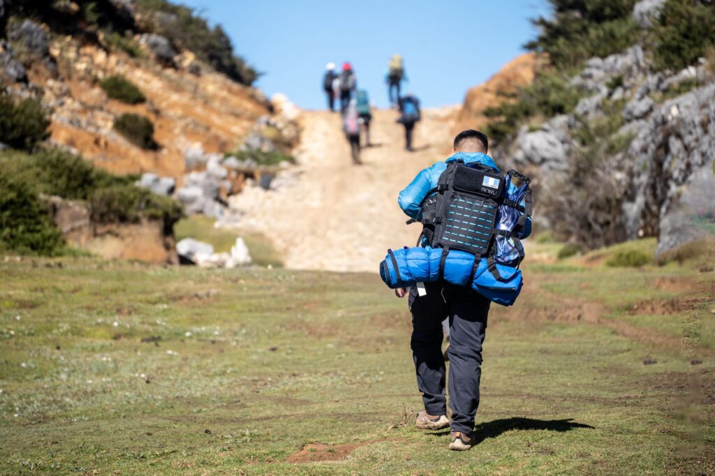
Hydrological and nutritional self-sufficiency is another critical analytical factor. Unlike high-mountain routes equipped with frequent natural springs, the Vicentine coast runs through arid zones where supply points are exclusively concentrated in small fishing villages or rural settlements separated by several hours of marching. Carrying a minimum reserve of two liters of water per person, electrolytes, and high-calorie marching rations is mandatory. Managing weight in the backpack thus becomes a millimeter discipline to prevent premature joint injuries in knees and ankles.
The Biomechanics of Sandy Terrain
Walking over beach sand or sloping fossil dunes presents a unique biomechanical challenge that tests core stability and the stabilizing musculature of the lower body. Each step on unstable ground dissipates a significant portion of the generated kinetic energy, placing extra strain on the soleus and gastrocnemius muscles. Novice hikers often make the mistake of maintaining the same marching pattern they would use on firm dirt paths, leading to premature muscle fatigue and tension overloads.
To mitigate this wear, expert guides recommend adopting a shorter stride, planting the foot flat to maximize contact area, and whenever tide and safety permit, taking advantage of the damp, compacted strips of sand located near the breaking waves. Likewise, the use of trekking poles with wide baskets is essential to distribute support points and prevent tips from sinking falsely, compromising balance on cliff flanks.
Vernacular Architecture and Fishing Villages
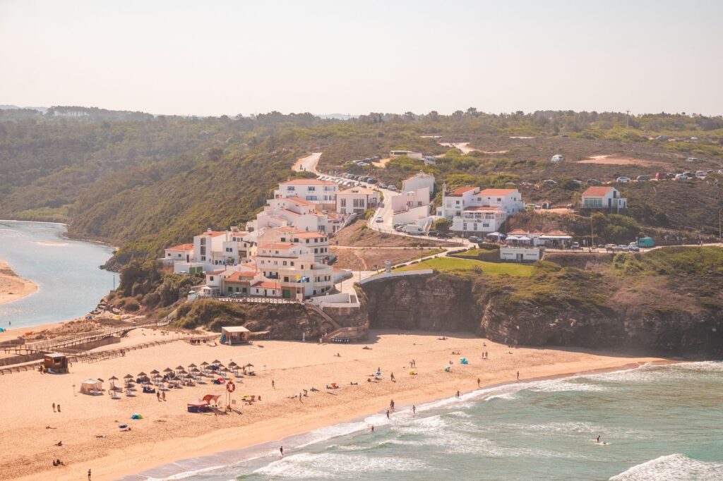
The human fabric sustaining the Vicentine Coast is composed of maritime and agricultural communities that have successfully preserved their identity against the pressures of mass tourism. Aldea da Luz, Odeceixe, Aljezur, or Carrapateira retain vernacular architecture characterized by low-profile white houses, blue or rust-red baseboards, and traditional chimneys defying Atlantic storms. These settlements are not mere picturesque backdrops, but living enclaves where the economy revolves around artisanal fishing and small-scale agriculture.
Stopping in these cores provides insight into the symbiotic relationship their inhabitants have historically maintained with the marine environment. Ancient harbor shelters, many of them small rocky outcrops where boats are hoisted using pulleys and steel cables due to the absence of protected basins, testify to a way of life where caution before the state of the sea is a matter of daily survival. The rigorous traveler finds here a space for sincere cultural exchange, far from commercial artifices.
“The Atlantic does not tolerate the walker’s arrogance; it demands humility before the tide, respect for the cliff, and the capacity to listen to the wind’s silence over the scrub.”
Endemic Flora and Avifauna Observation
From an ecological perspective, the Natural Park constitutes a biodiversity sanctuary of international importance. Among dune formations and coastal rockeries grow strictly endemic plant species, such as *Centaurea vicentina* or *Plantago almogravensis*, capable of tolerating high concentrations of salinity and the constant abrasion of marine winds. These plants play a fundamental role in consolidating sandy substrate, preventing accelerated cliff erosion through eolian action.
In faunal terms, the Vicentine cliff is the only place in the world where white storks nest on marine islets and vertical walls overlooking the open sea, a unique behavior conditioned by the abundance of marine food and the absence of terrestrial predators. Ornithology enthusiasts have privileged natural observatories along the trail to identify species such as the peregrine falcon, lesser kestrel, and numerous seabirds on their seasonal migratory routes toward the African continent.
Safety, Tides, and Risk Prevention
The Portuguese Atlantic facade is a dynamic and potentially dangerous environment for those ignoring its physical warnings. The first safety rule on the Vicentine Coast is to rigorously check daily tide tables and marine weather reports. Many sections of the trail run across beaches that become completely submerged during high tide, forcing the hiker to make multi-kilometer detours inland or, worse, become trapped against vertical rock walls with no escape route.
Likewise, schist and sandstone cliffs undergo recurrent weathering and rockfall processes due to the combined action of winter rains and salt erosion. Approaching the outer edge of cliffs too closely, especially on days with strong crosswinds, constitutes an unacceptable risk. Safety equipment must always include a charged communication system, a thermal blanket, a first-aid kit focused on chafing and tendon injuries, and updated topographic maps that do not rely exclusively on mobile data coverage, frequently absent in the most isolated gorges and coves.
Practical guide
How to get there: Main access to the region is through Faro or Lisbon airports, subsequently connecting via Rede Expressos regional buses or rental vehicles toward the starting hubs of Porto Covo or Lagos.
Best time to visit: Spring months (March to May) and autumn (September to November) offer optimal temperatures for walking, avoiding suffocating heat and summer crowding.
Accommodation and bookings: Advance reservation is mandatory in small local guesthouses and inns (*turismo de habitação*), given that lodging capacity in the villages is strictly limited.
Recommended gear: Mid-cut boots with breathable membrane, telescopic poles, high-spectrum sun protection, technical windbreaker, and hydration system with a two-liter capacity.
Environmental regulations: Free camping outside authorized campsites, lighting fires throughout the natural park, and harvesting protected plant or mineral species are strictly prohibited.
The Last Atlantic Horizon
As the sun begins to descend over the marine horizon, dyeing schist walls in deep ochres and intense purples, the traverse across the Vicentine Coast reveals its most intimate and transformative dimension. Upon reaching Cape St. Vincent, historically considered by ancients as the end of the known world, the hiker understands that the true magnitude of this expedition does not lie in the accumulated kilometer distance on the pedometer, but in the harmony achieved with a landscape where primary elements retain their sovereignty intact. Sitting before the vastness of the ocean, with the steady sound of waves striking Europe’s foundations, is the perfect closing for a journey that challenges the body and comforts the spirit.
ATLAS LUME · BEFORE YOU GO
A story that continues at the destination
DocumentsCheck visas, health requirements and document validity with official sources.
BookingsConfirm the final price, taxes and conditions directly with the provider.
Responsible travelRespect local communities, heritage and ecosystems.