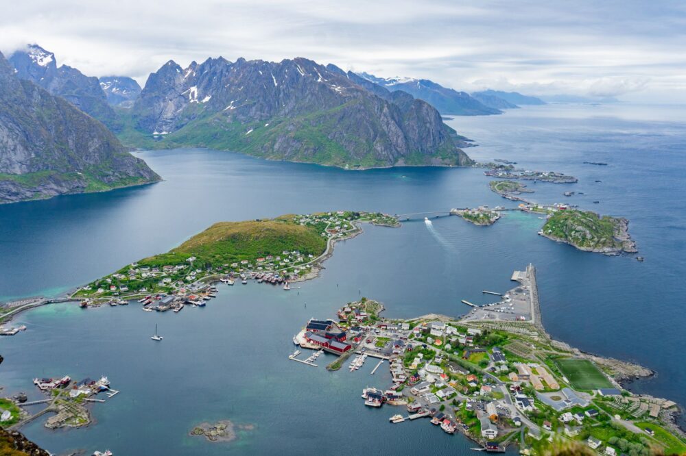
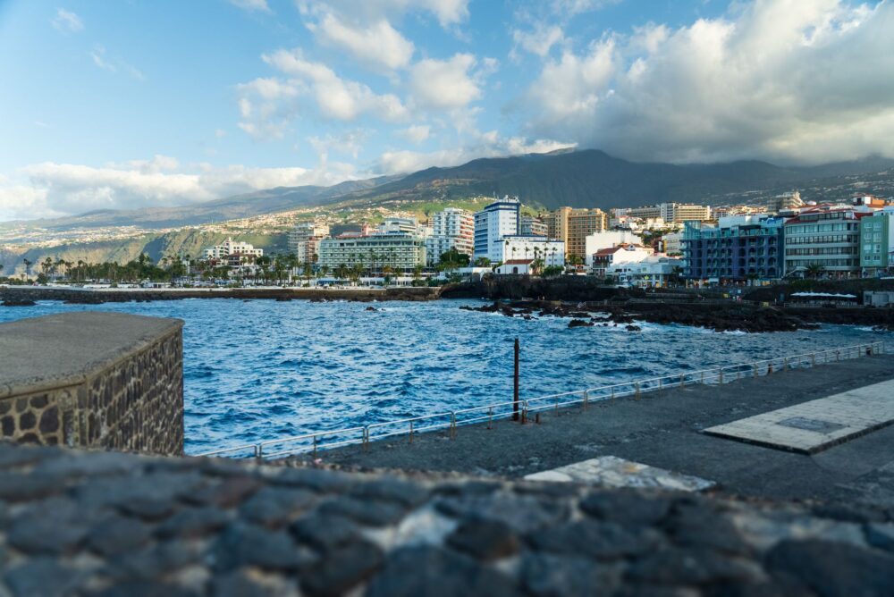
In the heart of the Atlantic Ocean, the island of Madeira rises as a rugged volcanic bastion where geography has traditionally dictated the rules of human survival and travel. For centuries, the formidable topographical barriers of its summits, cut by deep ravines and basaltic rock walls, isolated local communities in nearly impenetrable valleys. Insular connectivity did not depend on broad plains, but on human audacity to defy verticality through a network of bridle paths and, above all, a monumental system of water conveyance known as levadas. These liquid arteries, carved literally into the walls of the precipices, simultaneously served as maintenance routes and pedestrian communication pathways between the humid north and the sunny south of the Portuguese island.
Today, the territory is undergoing a radical transformation in its mobility thanks to contemporary civil engineering, which has replaced hazardous journeys along winding corniche roads with a complex network of tunnels and kilometer-long viaducts. This report examines how the wildest and most remote Madeira coexists with modern transport infrastructure, bridging the legacy of ancient engineers with current connectivity challenges for residents and travelers seeking to understand the true pulse of the island.
The Hydraulic and Road Genesis of Madeirensian Summits
The history of mobility in Madeira cannot be understood without water. Starting in the fifteenth century, Portuguese colonizers realized that to cultivate sugarcane and, later, vineyards, it was essential to channel mountain precipitation down to the agricultural terraces of the coast. Thus began the titanic task of constructing over two thousand kilometers of stone and earthen water channels along vertical slopes. Every single levada demanded a superhuman effort, with workers suspended in wicker baskets chiseling living rock meter by meter.
Over the decades, these hydraulic inspection paths assumed a secondary yet vital function: connecting isolated villages that would otherwise have remained cut off during the winter months. Shepherds, farmers, and local postmen utilized the corniche paths of the levadas as safe shortcuts against landslides on traditional dirt roads. This primitive network of mountain trails represents the first major coordinated effort to vertebrate a territory fractured by volcanic topography.
The Subterranean Era: Ending Road Isolation
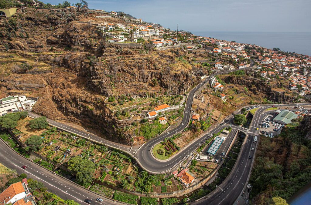
Well into the second half of the twentieth century, traveling between Madeira’s various municipalities meant hours of driving along narrow, steep roads exposed to the elements. Regional Route 101, which circled the island, was an exercise in driving skill and a critical bottleneck during heavy rainfall episodes. To overcome this structural limitation, the regional government undertook an ambitious road infrastructure plan in the late nineties and early two thousand, based on the massive drilling of the central mountain range.
The tunnel system completely transformed the economy and social life of Madeira. Once-isolated valleys like São Vicente or Santana became minutes away from Funchal, the insular capital. This subterranean network not only drastically reduced travel times for goods and passengers, but also guaranteed road safety against frequent rockfalls on coastal cliffs, integrating the territory into a continuous and modern commercial flow.

Civil Engineering and Extreme Geology in Atlantic Viaducts
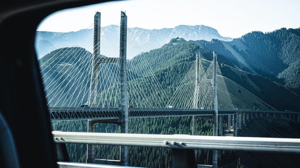
Designing transport infrastructure on an island with average slopes exceeding thirty percent requires unique engineering solutions. Civil engineers had to confront complex geological faults, highly fractured basaltic soils, and strong marine winds when planning the major viaducts connecting the tunnels. These structures suspended over dizzying ravines represent landmarks of European construction.
Executing these projects required advanced deep foundation techniques and continuous monitoring systems to prevent slope movements. Sub-millimeter precision in load calculations made it possible to chart safe highways that appear to float over the natural landscape, minimizing visual impact on the lush laurisilva forests as much as possible, which are recognized as a UNESCO World Heritage site.
The true conquest of Madeira has not been about subduing nature, but about learning to trace invisible paths beneath its basalt skin to keep its communities alive.
Insular Public Transport and Rural Bus Capillarity
Beyond major highways and high-capacity tunnels, daily mobility in Madeira relies on a network of interurban buses—locally known as camionetas—operated by several private companies connecting virtually every corner of the island. Firms like Horários do Funchal, SAM, or Rodoeste manage routes winding through impossible secondary roads, demonstrating exceptional technical skill in every approach to rural settlements.
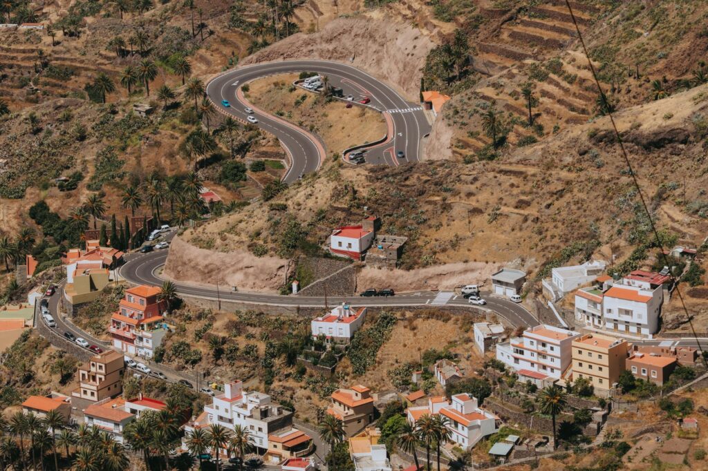
For travelers and residents, this public transport system constitutes a valuable low-emission resource of high scenic value. Although passenger frequency drops noticeably on weekends and in areas far from the southern coast, the routes guarantee access to trailhead starts and agricultural villages, allowing for a slow-paced travel experience deeply integrated into the local economy.
The Energy Transition in Madeirensian Mobility
In recent years, the autonomous region’s transport policy has taken a significant turn toward environmental sustainability, driven by European Union decarbonization goals. Public transport fleets in and around Funchal have progressively incorporated hybrid and fully electric buses, capable of regenerating energy during steep descents from the summits to the coast.
Likewise, fast-charging points have been installed at strategic locations across the road network, facilitating the use of electric vehicles for both residents and tourist rental fleets. This green transition process aims to preserve air quality in a fragile insular environment where international tourism pressure demands a rigorous balance between economic development and environmental protection.
Sheltered Harbors and Cabotage: Historic Maritime Arteries
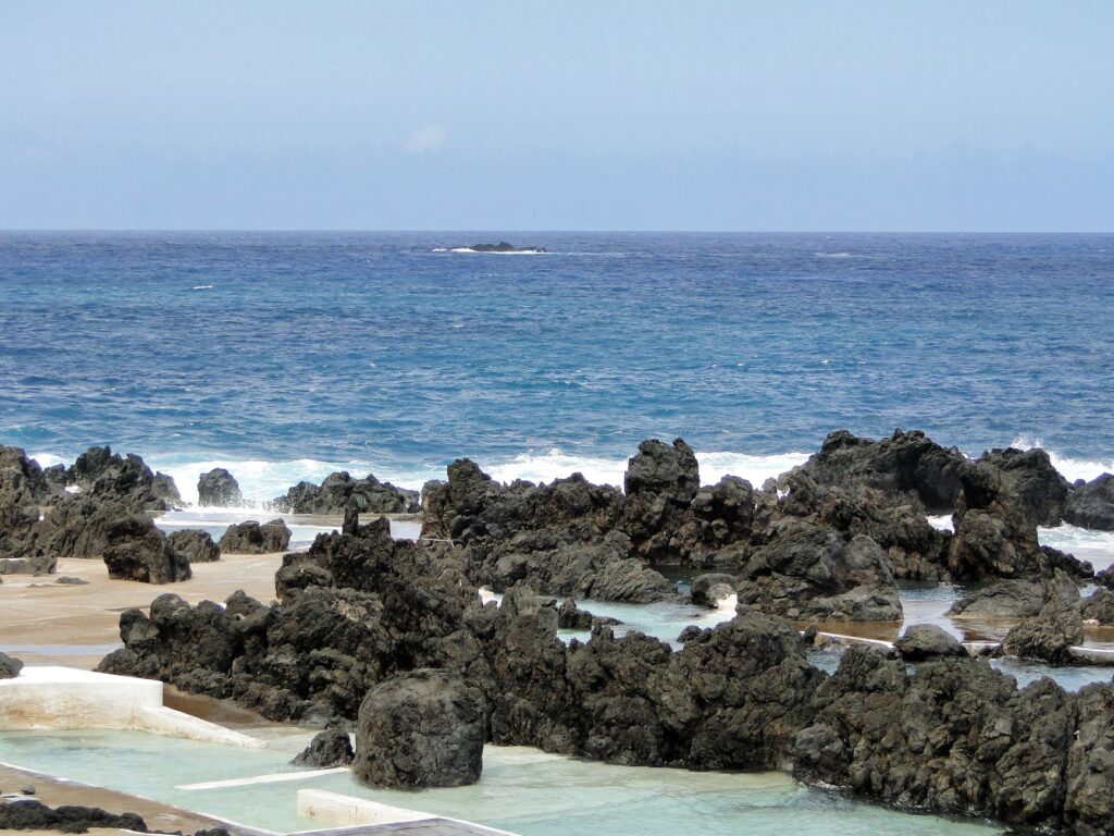
Before the development of commercial aviation and the road network unified the island, the sea was the sole rapid communication route between coastal settlements and the outside world. The port of Funchal acted as the undisputed commercial lung, receiving cargo steamers and passenger vessels connecting the archipelago with Lisbon and the Americas. Secondary ports in the north, such as Seixal or Porto Moniz, depended on fragile basins protected by basalt stone breakwaters where barges executed risky maneuvers defying Atlantic swells.
Today, although heavy freight transport is carried almost entirely overland from the commercial port of Caniçal, historic port enclaves maintain a crucial role for nautical tourism, regular ferry connections to neighboring Porto Santo Island, and the preservation of Madeira’s seafaring identity.
The Atlantic is not merely the backdrop of Madeira; it is the foundational waterway that wrote its commercial history before stone was pierced by human hands.
Practical guide
Planning a trip or transit across Madeira’s infrastructure network requires understanding certain fundamental operational guidelines to avoid unforeseen issues stemming from its abrupt topography.
- Car rental: Opt for vehicles with medium-high displacement engines and good torque; steep hills and hill starts are constant across the island.
- Bus network: Check updated timetables on the websites of Rodoeste and Horários do Funchal. Frequencies vary noticeably outside peak hours and on weekends.
- Tunnel driving: Although most tunnels are exceptionally well-lit and paved, keeping headlights on and strictly respecting speed limits is mandatory.
- Levada access: Respect safety instructions and temporary maintenance closures issued by the Institute of Forests and Nature Conservation.
- Maritime connectivity: The ferry connecting Funchal to Porto Santo operates daily, but booking in advance during summer months and festive periods is essential.
The Sustainable Horizon of Atlantic Paths
As Madeira faces the challenges of the twenty-first century, balancing the conservation of its fragile high-mountain ecosystem with the demand for fluid connectivity becomes the primary challenge for local authorities and territorial planners. Preserving the ancient levada paths, now understood as the island’s greatest hiking heritage, proves that past infrastructure can be reinvented as an engine for respectful and sustainable tourism.
Walking along these trails suspended in time or traveling in mechanical silence through the kilometer-long tunnels of the mountain range allows one to grasp the exact dimension of human effort in this Atlantic outpost. Madeira thus consolidates its position as a model of territorial adaptation, where advanced engineering coexists in harmony with the imposing and wild memory of its volcanic cliffs.