
Introduction to the Oceanic Outpost
Eight hundred kilometers east of the New Zealand mainland, amidst the vast, cold gray expanse of the South Pacific, rise the Chatham Islands, known locally as Rēkohu. This remote territory, beaten by perpetual winds and unforgiving tides, represents one of the most complex logistical challenges in the Oceania region. Daily life on these islands does not rely on massive automated infrastructure, but rather on a delicate intermodal balance where every single ton of cargo and every passenger must negotiate with the fury of the ocean and fickle southern meteorology. Understanding how people and goods move in this environment means delving into a survival system where technical precision and local memory are the only guarantees of continuity.
Geographic isolation has shaped a transport network deeply conditioned by the scarcity of sheltered natural harbors and the fragility of peat soils. Unlike the hyper-connected hubs of Southeast Asia or continental European corridors, every movement here responds to a precise choreography between ice-strengthened coastal freighters and light aircraft capable of landing on waterlogged grass strips. This report examines the invisible arteries that sustain the physical and economic sovereignty of an archipelago where the climate sets the rules of the game.
The Geography of Isolation and the Genesis of the Journey
To grasp the scale of transport in the Chathams, one must analyze its morphology. The archipelago comprises mainly two inhabited islands, Chatham (Rekohu) and Pitt (Rangiauria), separated by the Pitt Strait, a treacherous channel notorious for its intersecting currents. For decades, the sole link between these enclaves and the mainland was coastal navigation and small aircraft adapted to extreme conditions. The lack of deep-water basins during early European settlement necessitated the development of cargo transfer systems using lighters and rudimentary cranes in open bays like Waitangi.
Planning any journey or freight shipment to this remote spot demands an unusual patience in the twenty-first century. Weather forecasts shift within minutes, turning a calm sea into a boiling cauldron of massive swells. This constant unpredictability has forged a culture of resilience among local transport operators, who combine satellite navigation technology with traditional generational knowledge regarding western wind patterns.
The Coastal Fleet and the Maritime Lifeline
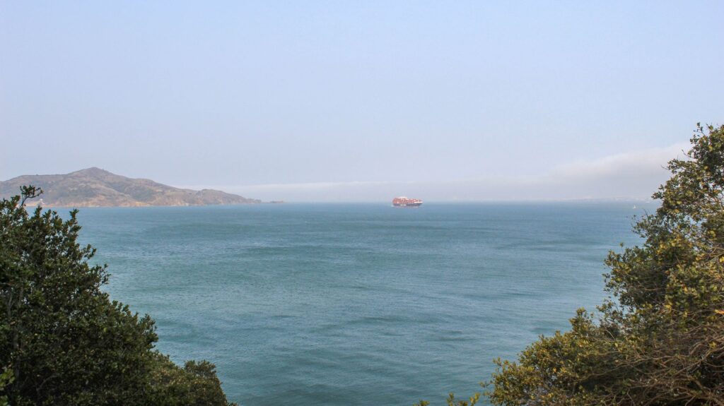
The supply of fuel, heavy machinery, and non-perishable food relies almost entirely on maritime transport. Specialized cargo vessels, featuring hulls reinforced to withstand the Tasman Sea and the Roaring Forties, sail regularly from the New Zealand port of Timaru. These ships carry not only standard containers but also sheep and cattle, the region’s primary economic engine, which must be loaded with utmost care into temporary floating pens.
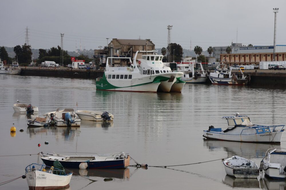
The arrival of the cargo ship in Waitangi is the central event of the island week. Port operations require meticulous coordination between the crew and local crane operators. Due to the shallow depth of the bay, large container ships cannot dock directly at the piers, necessitating lightering operations using smaller barges. This process, vulnerable to sudden swells, highlights the extreme fragility of the supply chain, where an unforeseen storm can delay unloading for weeks, altering the availability of fresh produce in local shops.
Grass Runways and Aerial Links
When sea conditions prevent safe navigation, the sole escape or entry route to the archipelago is air transport. However, airport infrastructure diverges radically from international standards. The main airport, located at Karewa, features runways formed by grass and compacted peat surfaces, requiring high-wing turboprop aircraft with robust landing gear capable of withstanding constant moisture and terrain abrasion.
Air connections, usually operated by specialized regional airlines from Christchurch, depend critically on visibility and the condition of the turf layer. Pilots face constant crosswinds and frequent marine fog banks that reduce visibility to zero in seconds. This reality imposes strict weight restrictions on luggage and passenger capacity, forcing medical supplies and technical personnel to take priority over conventional tourism.
Internal Connectivity Between Chatham and Pitt
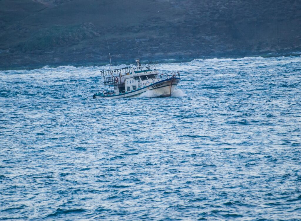
If the continental journey already entails complexity, bridging the distance between Chatham Island and neighboring Pitt Island represents an even more delicate micro-logistic exercise. Crossing the Pitt Strait is accomplished via small modified fishing vessels used for mixed transport or, in emergencies, light helicopters. Formal docks are absent at most landing points on Pitt Island; passengers and light cargo are transferred via small dinghies from ship to rocky shore, timing the gaps between breaking waves.
This relative disconnection grants Pitt Islanders a forced autarky but also an accentuated vulnerability during medical emergencies. The internal island transport system functions like a living organism where VHF radio communication is as vital as the boat engine, ensuring that no community remains completely isolated during winter storms.
Road Infrastructure and Terrestrial Mobility on Peat
Once on solid ground, the road network of the Chatham Islands presents unique geological challenges. Much of the primary routes run over foundations of peat and local limestone, materials highly sensitive to water saturation. During the southern winter months, persistent rains turn secondary roads into deep mud tracks accessible only by four-wheel-drive vehicles with wide-profile tires.
The maintenance of this road infrastructure rests on local authorities and community cooperatives, who must ration gravel and crushed rock to prevent the collapse of communication lines between isolated farms and administrative centers. Terrestrial mobility, therefore, requires a profound understanding of soil load capacity, limiting heavy truck traffic and enforcing seasonal rotation of heavy loads.
The Human Factor and Community Resilience
Behind every diesel engine, every navigation chart, and every aerial approach lies the human factor that sustains this intermodal system. Chatham Islanders have developed a culture where mutual cooperation is a requirement for survival. Truckers frequently act as informal courier services, local fishermen provide logistical support for marine rescue operations, and farmers collaborate in maintaining informal landing strips.

This interdependence contrasts with the speed of the outside globalized world. In the Chathams, punctuality is subordinated to safety and respect for natural elements. The loss of a single weekly connection can disorganize the social and economic agenda of the entire archipelago, generating a collective consciousness where time is measured by tides and weather cycles rather than rigid timetables.
Practical guide
How to get there: Main access is via scheduled flights operated by Air Chathams from New Zealand airports including Christchurch, Wellington, or Auckland, always subject to weather conditions. Alternatively, cargo shipping options exist on authorized vessels, though passenger transit via this route is extremely limited.
Documentation and requirements: As a territory administered by New Zealand, citizens of that country require no visa, but international visitors must comply with standard entry requirements and electronic travel authorizations applicable to the mainland.

Best time to visit: The southern summer (December to February) offers the most stable weather conditions, though winds can blow strongly at any time of year. Avoiding winter months (June to August) is strongly recommended due to high probabilities of prolonged flight cancellations.
Accommodation and internal mobility: Lodging options are scarce and concentrated in Waitangi, requiring reservations months in advance. Renting 4×4 vehicles through authorized local operators or booking guided excursions is essential for exploring the islands.
The Horizon of the Archipelago and Its Southern Memory
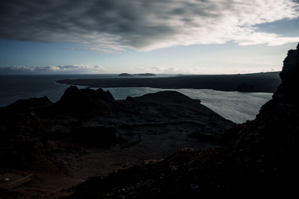
At dusk, when the golden Pacific light bathes the wind-swept pastures and the dark outlines of Rēkohu’s basalt cliffs merge with the horizon, the fragility of the transport system acquires a poetic dimension. This is not merely a network of boats and small planes, but an umbilical cord keeping traditions, commerce, and human presence alive in one of the loneliest corners of the planet. Here, modern technology does not impose its dominance over nature, but learns to negotiate with it daily, reminding us that true connectivity lies in mutual respect between traveler, machine, and the vast southern ocean.