
Origins and Cartography of the Green Corridor
The Appalachian Trail represents far more than a simple long-distance hiking route. Stretching over three thousand five hundred kilometers from Springer Mountain in Georgia to Mount Katahdin in Maine, this forested corridor weaves along the eastern backbone of the United States. Traversing this ancient mountain range requires understanding that its difficulty lies not in the extreme altitudes of western peaks, but in the relentless topographic profile, constant humidity, and technical nature of a ground carpeted with ancient rocks and slippery roots.
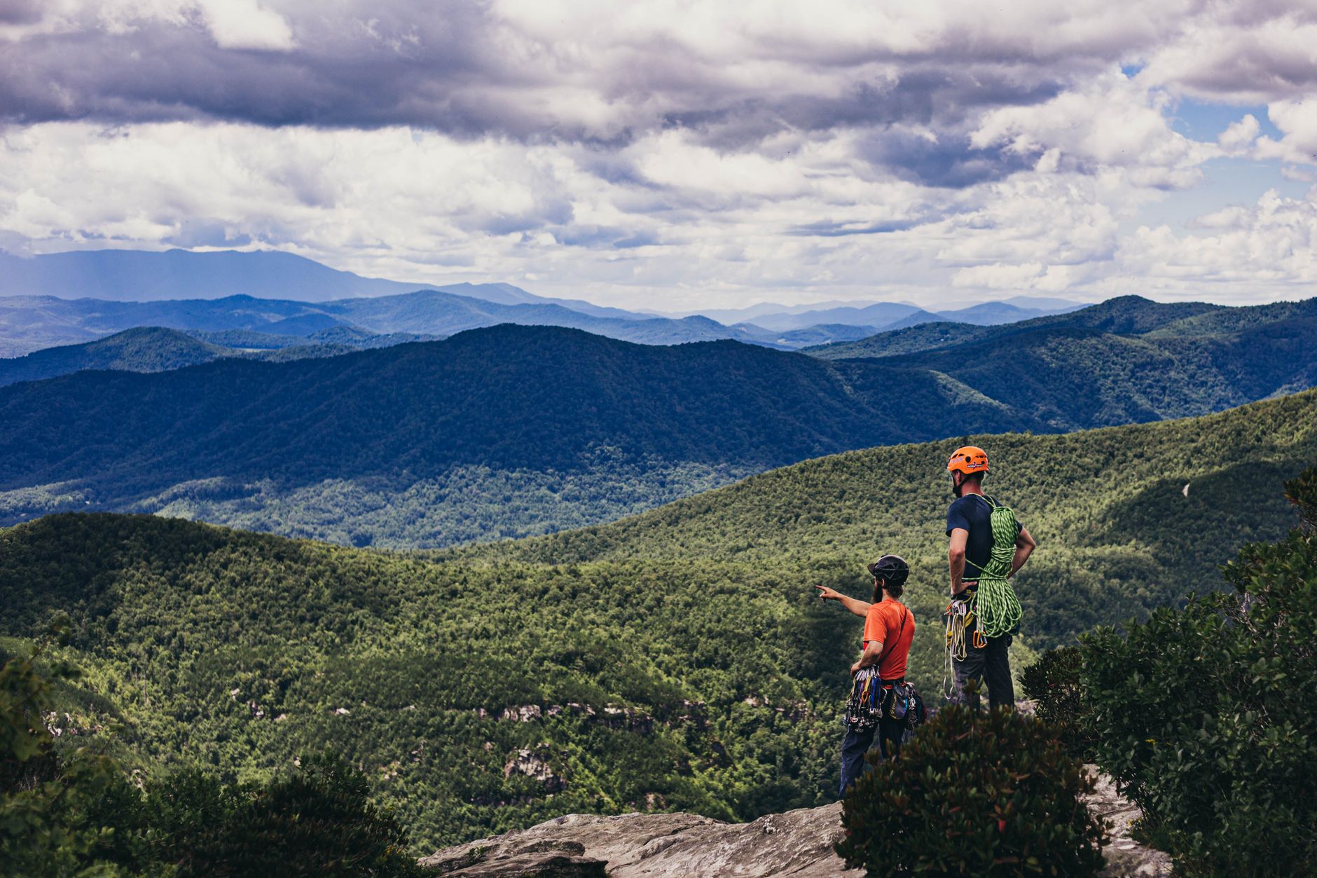
Planning an expedition through this territory demands a radical shift in the hiker’s mindset. Unlike open trails across clear summits, here the horizon is permanently enclosed by a dense tree canopy that obscures the sky for days on end. This visual confinement gives the journey a unique introspective character, where navigation depends entirely on white blazes painted on trees and a meticulous reading of topographic contour lines. Each state crossed—from the clay hills of Georgia to the rugged granite slabs of New England—imposes specific biomechanical demands that test physical and mental endurance.
Geology and the Challenge of Ancient Erosion
The orography of the Appalachians is the result of hundreds of millions of years of tectonic collisions and subsequent relentless erosion. This translates into trails where solid ground is scarce in favor of dry streambeds turned into pathways and rocky ridges where every footstep must be calculated with millimeter precision. The constant presence of quartzite, schist, and water-worn granite turns rainy days into authentic balancing exercises. Hikers must accept that their daily marching pace will differ notably from western standards; here, advancing three or four kilometers per hour through the steepest sections of Pennsylvania or New Hampshire constitutes a considerable technical achievement.
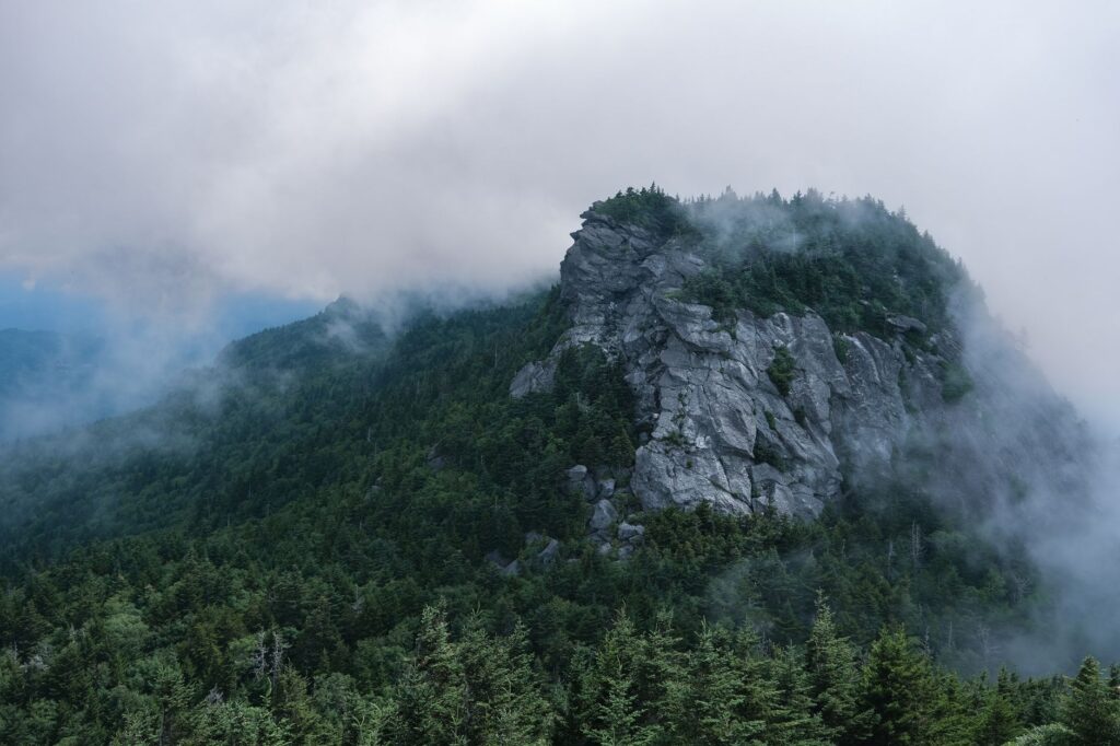
The region’s climatology acts as a shaping factor of the experience. The influence of humid air masses from the Gulf of Mexico collides head-on with northern cold fronts, generating sudden electrical storms and dense fogs that reduce visibility to zero within minutes. Furthermore, deep valleys act as heat and humidity traps during the summer months, elevating bodily perspiration rates and forcing expeditionaries to maintain strict vigilance over hydration levels and the replenishment of essential electrolytes to prevent muscular collapse.
Resupply Logistics and Shelter Living
One of the most complex aspects of the traverse is the management of food supplies and water. Unlike completely isolated routes in arctic or desert zones, the Appalachian Trail regularly intersects rural roads and historic small towns. This relative proximity allows for a fragmented resupply system, where walkers can mail packages to local post offices or restock groceries in modest general stores. However, this logistical advantage does not exempt the hiker from always carrying a minimum emergency caloric reserve for situations of meteorological delay.
Along the route, the system of wooden shelters structures the daily marches. These open spaces, managed by volunteer organizations and federal agencies, offer rudimentary roofing and a nearby water source, becoming unavoidable meeting points for the hiking community. Living in these shelters demands a strict code of mutual respect and waste management, since trash accumulation or improper food storage rapidly attracts local fauna, including black bears, whose presence is common throughout the entire route.

The forest does not yield its path to the traveler; it is the traveler who must learn the silent rhythm of the forest to advance without leaving a trace.
Ecosystem Transition: From Lush South to Alpine North
The journey along the trail functions as an accelerated latitudinal voyage through multiple life zones. In the south, states like North Carolina and Tennessee feature mixed hardwood forests, with towering spruces and beeches covering steep slopes crossed by crystal-clear streams. As the route ascends northward, clearing the Virginia plateau and the agricultural transition of Maryland and Pennsylvania, the vegetation undergoes a gradual metamorphosis toward the boreal taiga.
In New England, specifically in the wilder stretches of Maine and New Hampshire’s White Mountains, the trail abandons the relative comfort of the forest floor to enter true alpine zones, located above the tree line. Here, gale-force winds and low daytime temperatures recall arctic expeditions. Traversing these exposed ridges requires high-mountain technical equipment, including three-layer windproof jackets, backup navigation systems, and rigorous flexibility in marching plans to await safe weather windows.
Weight Management and Backpack Ergonomics
The golden rule for any long-distance traverse in the Appalachians is the obsessive reduction of base weight. Oversized equipment quickly becomes a source of joint injuries and tendonitis, especially due to the constant impact on steep descents. Experienced hikers prioritize lightweight yet robust gear: high-resistance tents or tarps, water purification systems using filtration or ultraviolet rays, and sleeping bags filled with hydrophobic down or high-compression synthetic fiber.

Footwear deserves special attention. While traditional leather boots historically offered the rigidity needed to protect ankles, the modern trend among long-distance walkers favors trail running shoes with high-grip outsoles, such as Vibram compounds. This footwear drastically reduces accumulated leg fatigue, dries faster after inevitable muddy stream crossings, and prevents severe blistering, though it requires prior adaptation of calf muscles and the Achilles tendon.
Safety, Fauna, and Emergency Protocols in Remote Areas
Despite being located on the east coast of a densely populated country, the Appalachian Trail crosses wilderness extensions where outside help can take hours to arrive. Safety protocols dictate always carrying a satellite communication device, such as a GPS locator with an emergency button, since cellular coverage is practically nonexistent in most forested valleys and deep canyons.
Regarding fauna, the American black bear is the undisputed protagonist. Although they rarely show aggression toward humans, their attraction to food odors compels the systematic use of bear-resistant canisters or hanging provisions from high branches using pulley systems at shelters. Likewise, daily body checks at the end of the day are essential to detect ticks, vectors of serious diseases like Lyme disease, which is widespread throughout the eastern forest belt.

Practical guide
Best time for the traverse: For the complete northbound or southbound thru-hike, the optimal departure window heading north begins in late March and concludes in early October, avoiding extreme winter snowfalls on northern summits and the suffocating heat of deep summer in southern valleys.
Permits and regulations: Although most of the trail runs through public open-access lands, specific sections like the Great Smoky Mountains National Park or Baxter State Park require advance camping permits and compliance with strict regulations prohibiting campfires outside designated spaces.
Estimated budget: The daily cost of a self-sufficient traverse ranges between thirty and sixty dollars, allocated primarily to food resupply in local stores, occasional stays in private hostels located along the route, and the replacement of worn gear.

Recommended equipment: Telescopic trekking poles with carbide tips, high-flow gravity water filters, rodent-resistant food storage systems, advanced first aid kits for blister treatment, and high-performance breathable waterproof jackets.
The Inner Rhythm of the Solitary Walker
As the weeks progress and the body adjusts to the daily effort of uninterrupted marching, the exterior landscape ceases to be a mere geographical backdrop and transforms into a state of consciousness. The muscular aches of the first few days dissolve into a mechanical routine where the sound of dry leaves underfoot and the steady dripping of rain on the tent fly set the tempo of the days. The chosen solitude in the depths of the eastern forest does not isolate the individual, but reconnects them with a temporal scale where the urgencies of modern life lose all meaning.
Upon finally reaching the granite-carved summit of Mount Katahdin, the final milestone of this monumental eastern traverse, the traveler understands that the true value of the expedition lies not in conquering the peak, but in the subtle transformation wrought within their own gaze. The trail, with its invisible roots and white blazes faded by time, remains there, silently waiting for the next walker willing to listen to the ancient voice of the woods.