
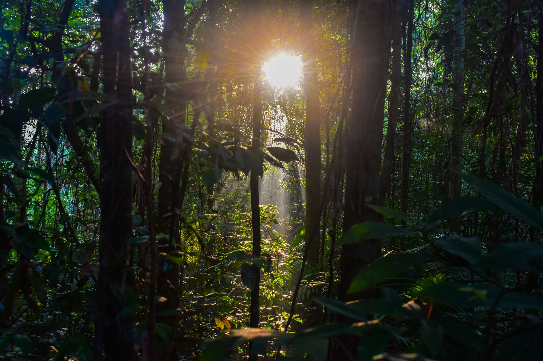

Bukit Timah appears on maps as a low hill, barely 163 metres above sea level, yet its weight in Singapore’s history is far greater than its height. In Malay, the name literally means «tin hill», although no tin was ever mined there: the label took hold in the nineteenth century and became a marker of identity. Today Bukit Timah refers at once to a residential district, an arterial road, a metro station and a nature reserve that preserves one of the country’s last fragments of primary rainforest.
For travellers who arrive in Singapore expecting nothing but skyscrapers and air conditioning, Bukit Timah offers a useful correction. Here you walk among trees that are over a century old, cross former water reservoirs turned into parks, and watch how a city-state of barely 730 square kilometres negotiates every square metre of land with its own ecological memory.
A hill named after a mineral, devoted to forest
The history of Bukit Timah is tied to Singapore’s transformation into a colonial port. During the nineteenth century, the area was planted with nutmeg, pepper and gambier, crops that exhausted the soil and gave way to the secondary forest that now dominates much of the landscape. The nature reserve, established in 1883, is one of the oldest protected areas in Southeast Asia.
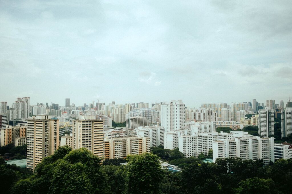
The highest point, Bukit Timah Hill, serves as both a geographic reference and a symbol. From its summit, on a clear day, you can make out the buildings of the financial district, the reservoirs to the north and the green strip that separates Singapore from Malaysia. The view sums up the tension that defines the neighbourhood: preserved nature inside one of the most densely populated urban areas on the planet.
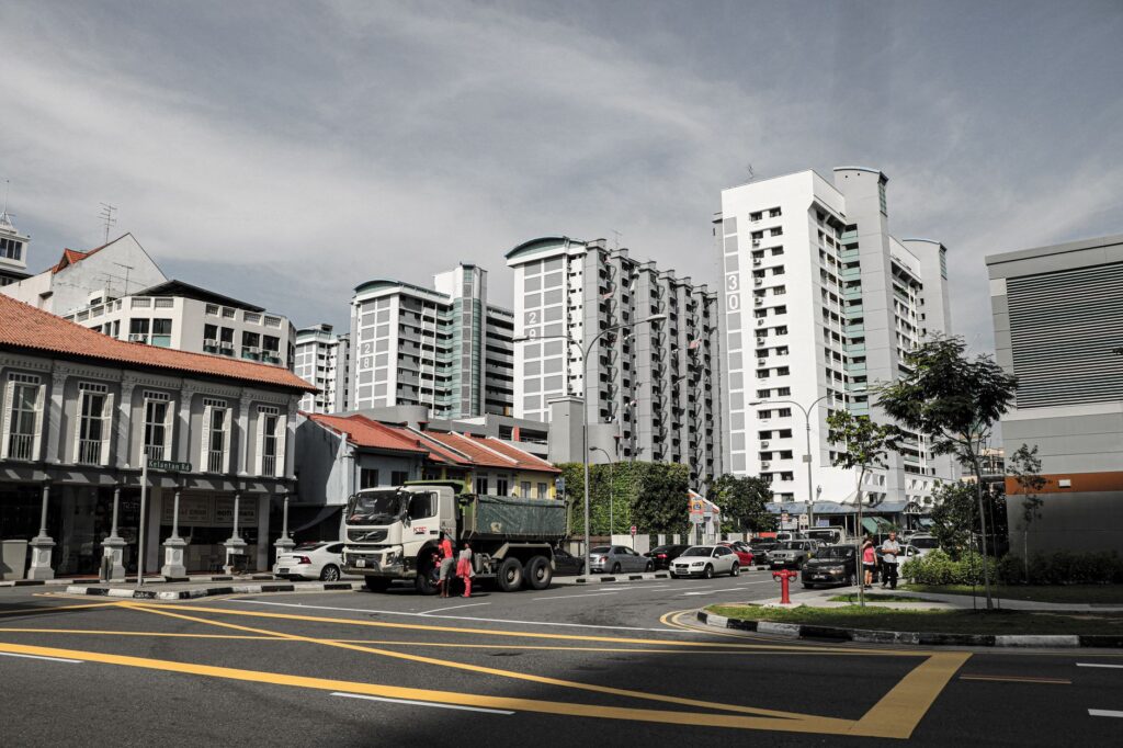
The neighbourhood that grew around the green
Bukit Timah is not only a reserve. It is also a residential district of low-rise houses, condominiums and tree-lined streets where a mix of Singaporean families, expatriates and students live. The area is organised around Bukit Timah Road, one of the oldest thoroughfares on the island, and the Downtown metro line, which connects the neighbourhood to the centre in minutes.
That combination of accessibility and calm explains its reputation. Unlike other central districts, the pace here is slower: wet markets, neighbourhood cafés, schools and sports clubs coexist with upscale shopping centres such as Cluny Court or Coronation Plaza. Daily life does not revolve around tourism, and that is precisely what makes it interesting for anyone looking for more than a postcard.
Bukit Timah is not visited like a monument: it is walked like a neighbourhood that has spent decades learning to live with its own forest.
The nature reserve: what you can see and what you cannot
The Bukit Timah Nature Reserve is the heart of the area. Its well-marked trails, of moderate difficulty, cross a humid tropical forest with large trees, lianas and remarkable biodiversity. You may spot long-tailed macaques, squirrels, lizards and, with luck, birds such as the hornbill or the barbet. The reserve is part of a wider network of parks connected by ecological corridors.

Visitors should understand, however, that this is not a theme park. The rules are strict: feeding animals is forbidden, leaving the trails is not allowed, and collecting plants or capturing wildlife is prohibited. These rules are not bureaucratic whims: they protect a fragile ecosystem that has survived two centuries of urban pressure.
Heritage beyond the rainforest
Bukit Timah also preserves traces of its industrial and military past. The old MacRitchie reservoirs and the nearby water system recall the colonial engineering that supplied the city. The area saw combat during the Second World War, and some historic buildings, such as the former Bukit Timah railway station, remain as testimony to the rail line that linked Singapore with Malaysia until 2011.
The old railway route has been converted into a green corridor, the Rail Corridor, which crosses the island from north to south and passes through Bukit Timah. Walking along it is a way of reading the history of transport and urban planning in Singapore without needing museums: the rails are gone, but the route still organises the territory.
Eating in Bukit Timah: markets, hawkers and neighbourhood cooking
The area’s food offer reflects Singapore’s diversity. Hawker centres such as Bukit Timah Market & Food Centre serve Chinese, Malay and Indian dishes at accessible prices. Queues in front of stalls selling char kway teow, laksa or nasi lemak are common, especially at lunchtime.
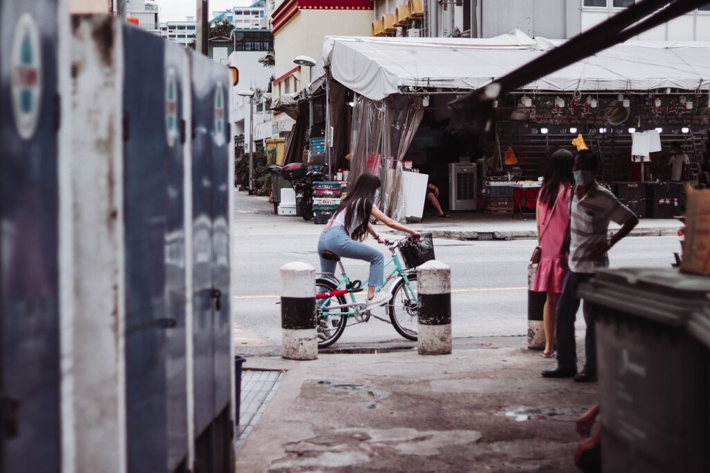
Alongside that everyday cooking, more formal restaurants and specialty coffee shops cluster around Greenwood Avenue and Sixth Avenue. The mix is not forced: it responds to a community that lives there all year round and expects variety without losing identity.
Getting there and when to go
Bukit Timah is well connected by metro. Bukit Timah station, on the Downtown line, brings visitors close to the centre of the neighbourhood and the entrance to the reserve. Frequent buses also run along Bukit Timah Road. For the reserve, the most practical stop is Hindhede Drive, where the main trail begins.
The climate is tropical: heat and humidity all year round, with frequent afternoon showers. It is best to start early, carry water, sun protection and suitable footwear. The reserve is open daily and access is free, although some areas may close temporarily for maintenance or weather conditions.
Responsible choices for visitors
The main challenge for Bukit Timah is managing human pressure without destroying what makes it special. Visitors can contribute through concrete gestures: not feeding the monkeys, not leaving litter, staying on the trails, avoiding excessive noise and respecting areas marked as fragile. Using public transport instead of a car and spending at local businesses also helps.
This is not about giving up the experience, but about understanding that the Bukit Timah forest is not a backdrop. It is a living ecosystem that has survived thanks to political and civic decisions sustained over generations. Tourism, practised well, can be part of that continuity.
The best way to visit Bukit Timah is the same as that of its residents: with patience, without haste and with the awareness that the forest does not belong to the visitor, but to the country that protects it.
Practical guide
- Getting there: metro to Bukit Timah station (Downtown line) or buses along Bukit Timah Road. For the reserve, get off at Hindhede Drive.
- What to bring: water, insect repellent, sports shoes, a hat and sun protection. Light, breathable clothing.
- Best time: early morning, when it is cooler and wildlife is more active. Avoid the middle of the day.
- Suggested duration: between two and four hours to cover the main trails and the nearby neighbourhood.
- Key rules: do not feed animals, do not leave the trails, do not collect plants or capture wildlife, do not leave waste.
- Eating: local hawker centres for everyday food; cafés and restaurants around Greenwood Avenue and Sixth Avenue.
- Budget: the reserve is free to enter. Main costs are transport and food, with affordable options in the markets.
Bukit Timah does not compete with Singapore’s big tourist icons. Its value lies elsewhere: in showing how a city can preserve a fragment of primary rainforest without turning it into a spectacle. For travellers willing to walk, listen and observe, the hill offers a quiet lesson in identity, heritage and responsibility.


