
Geita, Tanzania: The Green Hills Around Lake Victoria and Their Mining Memory
Geita is one of Tanzania’s youngest regions, created in 2012 in the country’s northwest, a short distance from the southern shore of Lake Victoria. Its capital, Geita town, sits at around 1,268 metres above sea level and gathers more than 300,000 residents across a territory of gentle hills, humid valleys, and wooded savanna. Although its name is widely associated with gold mining, the region offers a natural landscape of considerable richness that is only beginning to be explored through the lens of responsible travel.
This report proposes a geological, ecological, and practical reading of Geita: what formations underpin its hills, how its mid-altitude ecosystems work, when to visit, and what precautions to take so that a journey leaves no trace. It is not a guide to extreme adventure, but an informed approach to an African territory that combines nature, community, and extractive memory.
A relief shaped by water and time
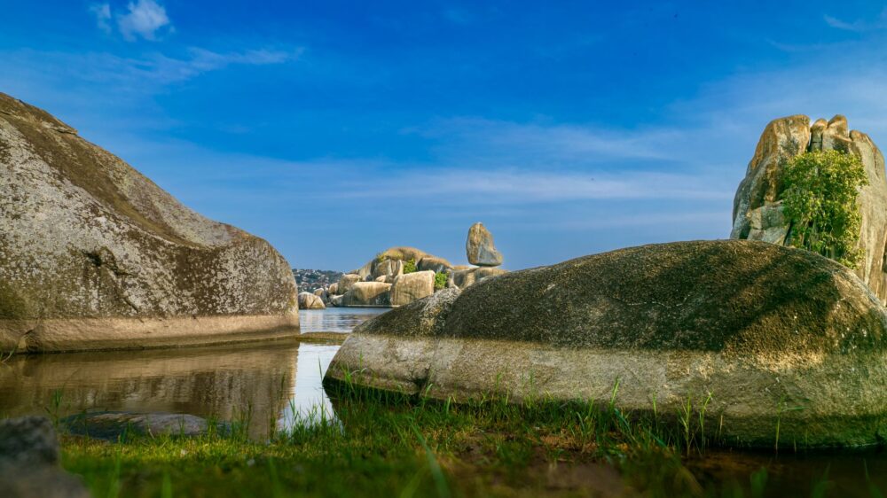
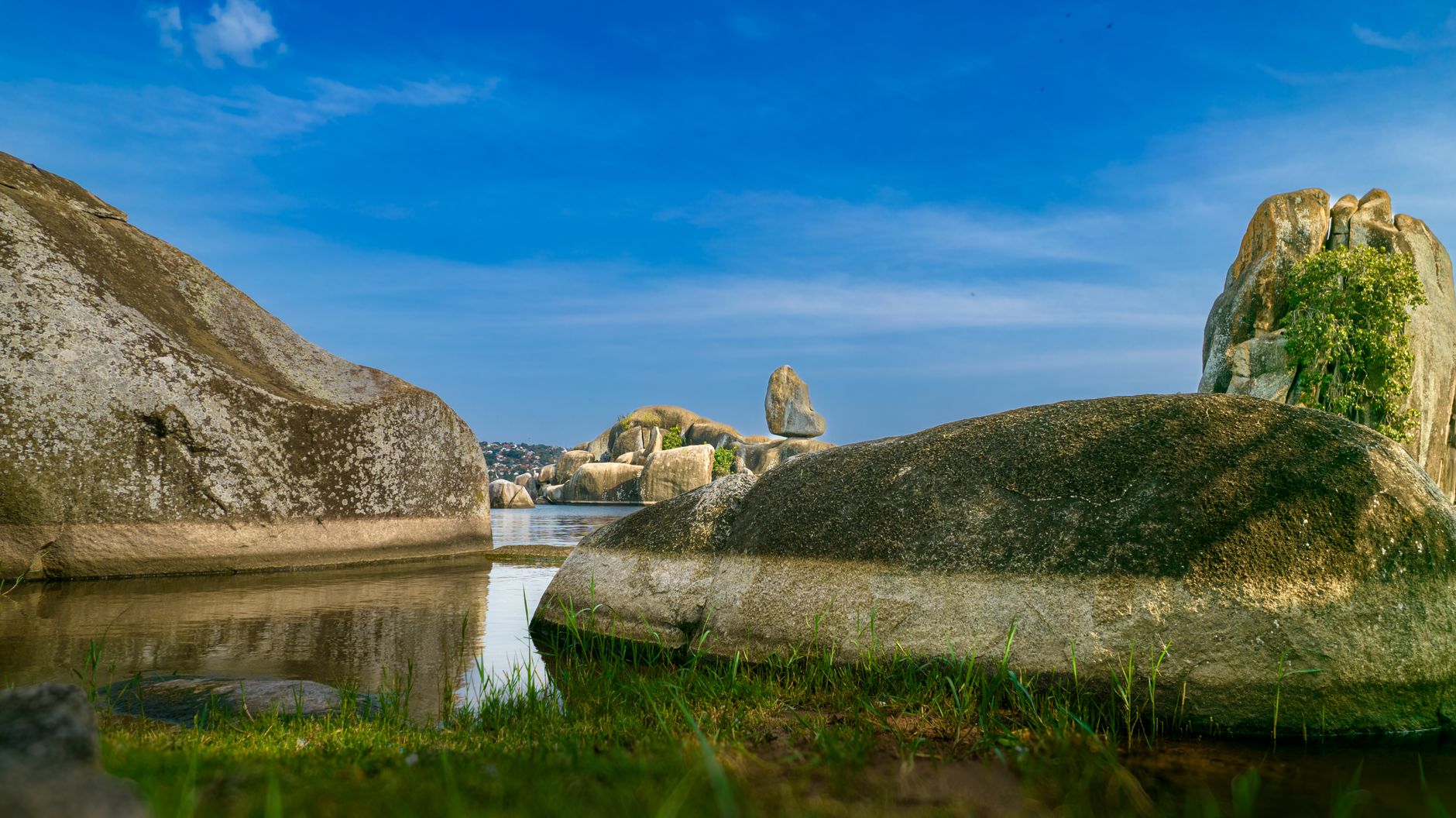
Geita’s landscape belongs to the great system of the Tanzania Craton, one of the oldest portions of continental crust on the planet. Over that Precambrian basement, layers of rock have been deposited and eroded to form rounded hills, broad valleys, and granitic and metamorphic outcrops. The average altitude hovers around 1,200 metres, with local peaks barely exceeding 1,400, giving the whole a profile of low but continuous mountain country.
Water is the great architect of this relief. Rivers descending toward Lake Victoria have carved shallow but extensive valleys, and seasonal wetlands occupy depressions where drainage slows. During the wet season, these wetlands become reservoirs of biodiversity; in the dry season, they turn into grasslands that sustain livestock and wildlife.
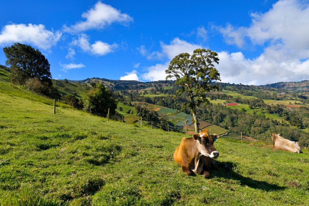
Seen from a distance, the region reads as a succession of soft horizons rather than dramatic peaks. That apparent modesty is deceptive: the craton beneath is among the most ancient rock masses on Earth, and the soils derived from it are often thin, leached, and vulnerable to erosion once vegetation is removed. Understanding this fragility is essential for anyone walking or driving through the area, because the same processes that built the hills can degrade them quickly when land use changes.
Geita’s geology cannot be understood without water: every hill is the result of millions of years of erosion, and every valley is an archive of sediments still being written.
Wooded savanna ecosystems and seasonal wetlands
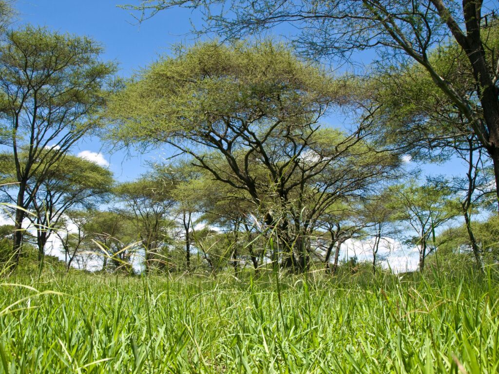
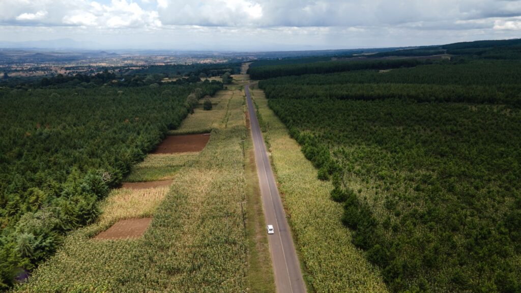
The dominant vegetation is miombo woodland, with Brachystegia and Julbernardia species forming open canopies that let light reach the ground. Between the trees appear thorny shrubs, tall grasses, and, in valley bottoms, gallery formations that follow the course of streams.
This combination of habitats supports diverse fauna: birds such as hornbills, barbets, and numerous weaver species; mammals including duiker, warthog, and, in quieter areas, the small suni antelope. The wetlands attract herons, ibises, and ducks during the rainy season. This is not an ecosystem of spectacular large fauna, but a discreet mosaic that rewards unhurried observation.
Miombo is also a working landscape. Local communities depend on it for firewood, honey, wild fruits, and medicinal plants, and the woodland regenerates through cycles of cutting and regrowth. That dual character, ecological and economic, explains why conservation here is rarely about fencing land off, but about negotiating how it is used.
The mining footprint and its historical context
Geita is internationally known for its gold deposits, exploited since colonial times and now integrated into large-scale industrial operations. That activity has transformed the landscape around the town: spoil heaps, access tracks, processing plants, and communities that have grown in step with the mine. For the traveller, understanding this reality is part of understanding the region.
Mining does not define all of Geita, but it does explain its economy, its demography, and part of its environmental tensions. Restoration projects and community conservation areas coexist with extractive activity, and several local initiatives work on soil rehabilitation and water management.
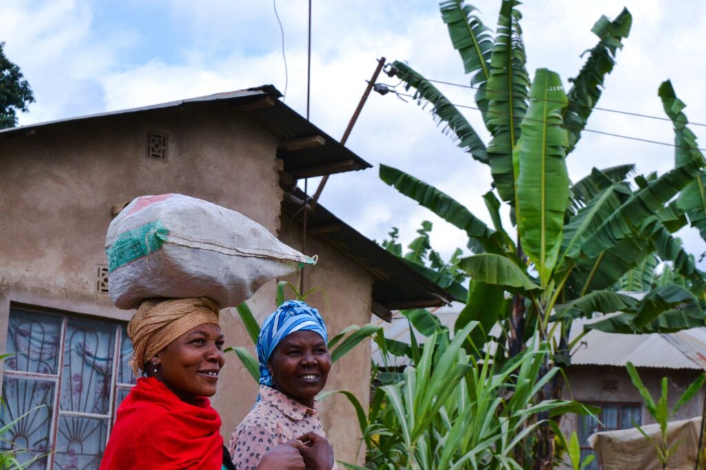
The town itself reflects this dual identity. It is a service centre for the surrounding districts as much as a mining settlement, with markets, transport links, and administrative functions that predate and outlast any single operation. Visitors who approach Geita only through the lens of gold miss the broader life of the place.
Climate and seasons: when to travel
Geita has a tropical highland climate, with moderate temperatures throughout the year. The dry season runs roughly from June to September, with sunny days, cool nights, and thinner vegetation. The wet season, from November to April, brings heavy rain, muddy roads, and green landscapes, but also access difficulties.
The transition months, such as October and May, offer an interesting balance: less rain than the wet peak and more greenery than the dry season. For birdwatchers, the wet season is the richest; for hikes and travel along rural tracks, the dry season is the most comfortable.
Temperature varies more with altitude and time of day than with season. Mornings can be cool enough to need a light layer, while midday sun is strong year-round. Planning activities for early morning and late afternoon is both more comfortable and better for wildlife observation.
Safety and precautions on the ground
As in many regions of East Africa, safety in Geita depends on context and preparation. It is advisable to check the local situation before travelling, avoid night-time road journeys, and hire guides or drivers with experience in the area. Rural tracks can become impassable after rain, and mobile coverage is irregular outside the town.

Regarding health, the usual precautions for Tanzania include mosquito protection, bottled or treated water, and a basic medical kit. The moderate altitude poses no risk of mountain sickness, but sun and humidity demand constant hydration.
It is also worth remembering that mining areas and their immediate surroundings are working environments with restricted access. Respecting signage and local instructions is not only a legal matter but a practical one: heavy machinery, open pits, and processing facilities are genuinely hazardous.
Travelling through Geita requires flexibility: schedules adapt to the weather, the roads set the pace, and the best information usually comes from those who live there.
Conservation and local communities
Conservation in Geita is played out in the balance between land use, mining, and community life. Forest reserves and community-managed areas seek to protect fragments of miombo and wetlands, though their reach is limited against economic pressure. Several local organisations work on environmental education, reforestation, and water-quality monitoring.
For the visitor, respect means hiring local services, leaving no waste, not collecting plants or capturing wildlife, and asking before photographing people or communities. Tourism in this region is incipient, and its development will depend on managing it with sustainability criteria.
Community-based approaches tend to work best when they create tangible benefits: guiding, transport, food, and crafts. Choosing local providers is therefore not just an ethical gesture but a practical way to make conservation economically meaningful for the people who live alongside the resource.
Cultural heritage and everyday life
Geita’s population is predominantly Sukuma, with other communities present due to mining and trade. Swahili is the lingua franca, although Sukuma is widely spoken in rural areas. The markets of the town and nearby villages offer a window into daily life: agricultural produce, fabrics, tools, and handicrafts.
Traditional Sukuma music and dance, such as bugobho or harvest dances, form part of community celebrations that are rarely open to mass tourism. Attending them requires an invitation and respect for local norms.
Everyday rhythms follow the agricultural calendar as much as the mining one. Planting and harvest seasons shape movement, markets, and festivals, and a visitor who takes time to understand these cycles will find the region far more legible than a quick transit suggests.
Practical guide
Getting there
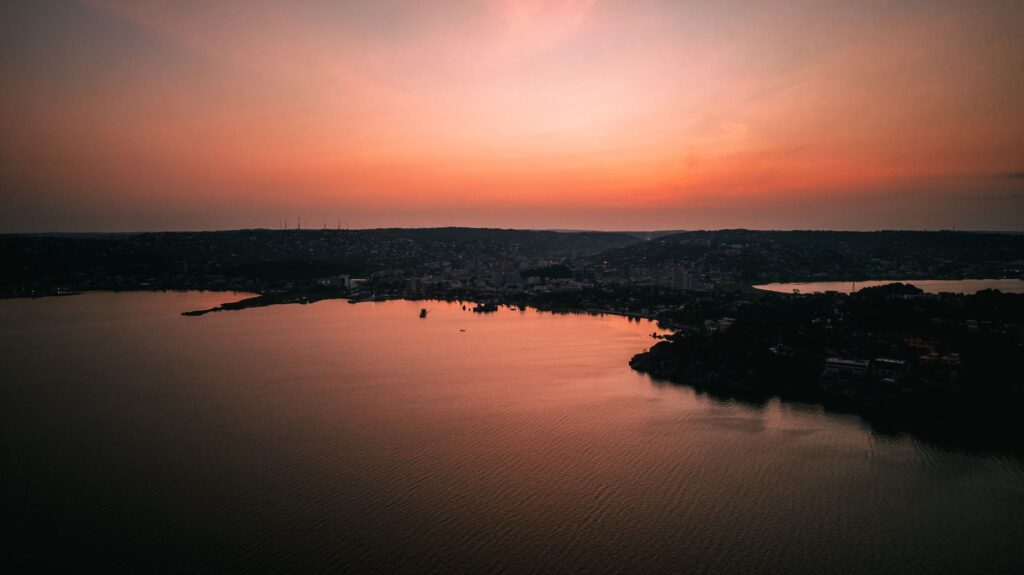
Geita is connected by road to Mwanza, the great port city on Lake Victoria, about three hours away under normal conditions. Geita Airport (code GIT) operates limited domestic flights; most travellers arrive via Mwanza and continue overland.
Where to stay
Accommodation is concentrated in Geita town, with mid-range options aimed at mine workers and passing travellers. Nearby villages have basic lodgings and guesthouses. Booking ahead is advisable in the dry season.
What to bring
- Light long-sleeved shirts and long trousers to deter insects.
- Sturdy closed footwear resistant to mud.
- Sun protection, hat, and sunglasses.
- Mosquito repellent and a basic medical kit.
- Headlamp and power bank.
- Cash in Tanzanian shillings: outside town, cards are rarely accepted.
Getting around
A 4×4 with a local driver is the safest option for exploring rural tracks. Motorcycle taxis and buses cover urban routes and some district roads, but are unsuitable for remote areas. Check road conditions before every outing.
Visiting ethics
Ask permission before photographing, buy in local markets, hire community guides, and do not interfere with mining activities or restricted areas. The best contribution is one that supports the local economy without altering the environment.
A region discovered slowly
Geita is not a postcard destination or a place of grand feats. It is a region of green hills, discreet wetlands, and communities that live alongside an intense mining history. Exploring it calmly, informing yourself beforehand, and accepting its rhythms reveals a different Tanzania, far from the classic northern circuits. The reward is not a mountain summit, but an understanding of a landscape that transforms slowly under the weight of water, time, and human activity.