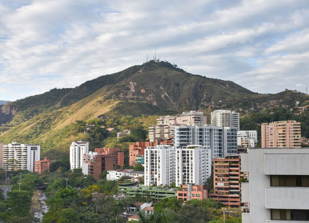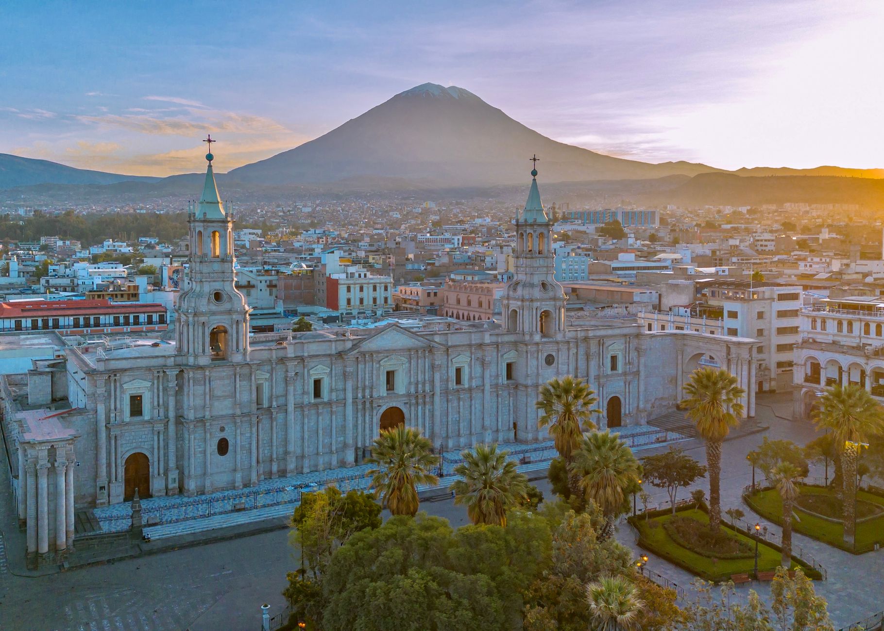

Arequipa rises at around 2,345 metres above sea level, between the Misti, Chachani and Pichu Pichu volcanoes in southern Peru. The city serves as the gateway to one of the deepest canyons on the planet, the Colca, and as an acclimatisation laboratory for any traveller intending to walk above 3,000 metres. Altitude is not a detail: it is the variable that orders the calendar, the kit, the diet and the pace of an expedition.
This report does not propose a specific route or promise record figures. It proposes something more useful: understanding why Arequipa forces you to plan months in advance, which documents to verify before departure, how the weather behaves between seasons and what responsibilities are assumed by those who walk through an inhabited, agricultural and fragile territory.
A sillar city as a base of operations
The historic centre of Arequipa, built in sillar, the white volcanic stone, was declared a World Heritage Site by UNESCO. That fact is not decorative: it explains why the city receives a constant flow of visitors, why the range of services is broad and why accommodation should be booked in advance during high season. The Monastery of Santa Catalina, the Plaza de Armas and the Yanahuara district are useful references for orienting yourself during the acclimatisation days.
Altitude is felt differently by each person. The first days should be spent sleeping, hydrating and avoiding intense exertion. Walking through the historic centre is, in itself, a form of gentle acclimatisation. The unwritten rule of Arequipa is simple: the body sets the calendar, not the guide.
The Colca: geography, heritage and farming life
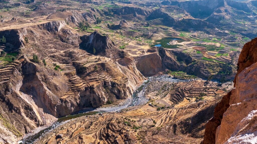
The Colca Canyon extends through the province of Caylloma and forms part of a basin where the Colca River has carved walls of more than 3,000 metres of drop in some sections. The valley is not a theme park: it is an agricultural territory with pre-Hispanic terraces, villages such as Chivay, Yanque, Maca and Cabanaconde, and a population that maintains communal practices of irrigation and cultivation.
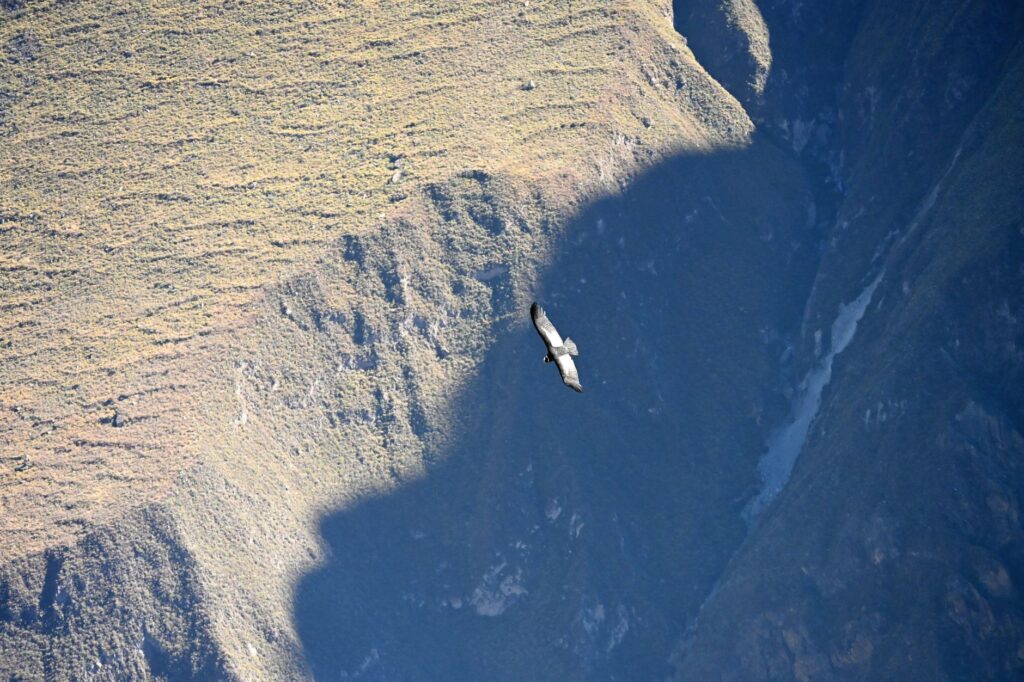
The Cruz del Condor viewpoint, on the road between Chivay and Cabanaconde, is the best-known spot for watching Andean condors in flight, especially in the early morning. Sightings depend on the weather and the season, and are not guaranteed. Any serious operator warns of this before selling the excursion.
The Colca is not visited: it is crossed with permission, with time and with the awareness that you are walking through other people’s territory.
Permits, fees and paperwork worth verifying
Access to the Colca Valley is subject to a tourist ticket managed by the local authority, whose price and conditions may change. The practical recommendation is to consult official sources before travelling and not to trust outdated figures on forums. In addition, some trekking routes within the canyon, such as the descent to Sangalle or the crossing to the Valley of the Volcanoes, require registration at the corresponding offices.
For expeditions that venture into remote areas of the canyon or into the Salinas and Aguada Blanca National Reserve, it is advisable to enquire about specific permits. No paperwork replaces direct verification with the competent authority.
Weather and seasonality: when to walk and when not to
The dry season, between May and September, offers clear skies and cold temperatures, especially at night. The rainy season, from December to March, brings intense rainfall, landslides and poor road conditions. The transition months, April and October, are often an intermediate option, albeit with high variability.
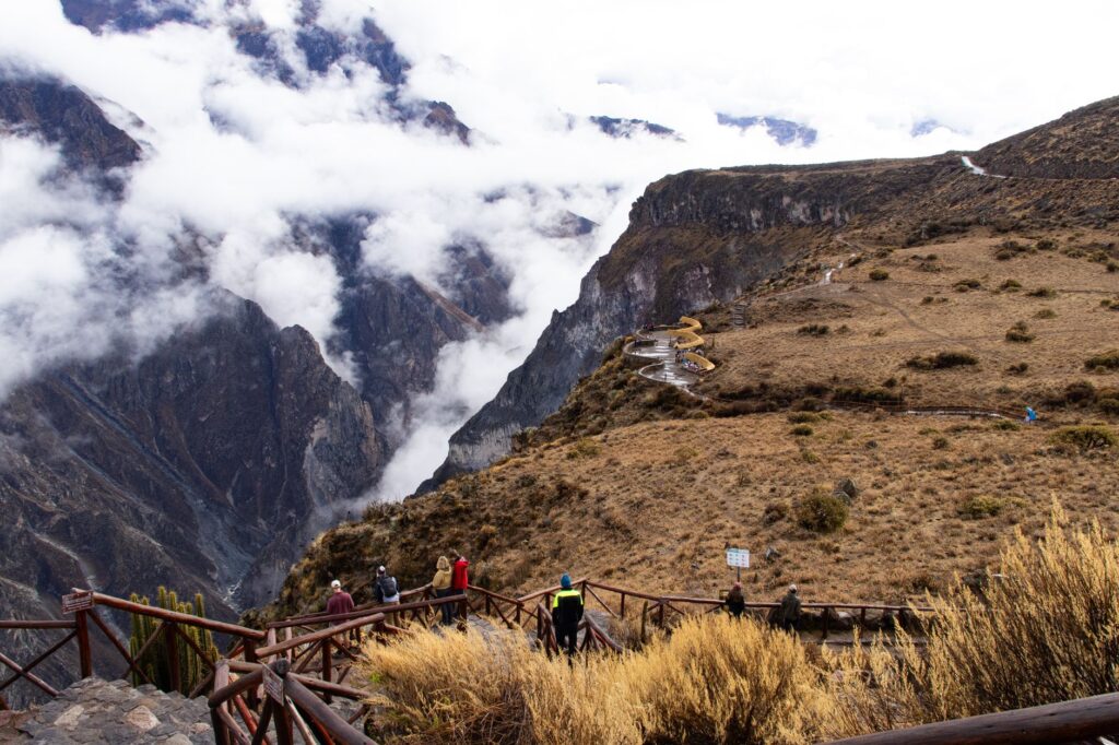
At altitude, ultraviolet radiation is intense throughout the year. Wind can be strong in the upper parts of the canyon and night temperatures can approach zero degrees in the austral winter. Planning must include layers of warm clothing, sun protection and a margin of days for the unexpected.
Altitude sickness: prevention and warning signs
Acute mountain sickness can appear above 2,500 metres and its severity varies. Common symptoms include headache, nausea, insomnia and fatigue. Prevention involves progressive acclimatisation, constant hydration, light meals and avoiding alcohol and tobacco in the first days.
Preventive medication, when considered necessary, must be indicated by a health professional. No pill replaces gradual ascent. If symptoms worsen, descent is the most effective measure.
Essential kit for an expedition in the Colca
Kit depends on the route and duration, but there are elements worth not forgetting:
- Trekking footwear already broken in, with good grip.
- Warm layers, windproof and waterproof protection.
- Sunglasses with high UV filter and sunscreen.
- Personal first-aid kit with regular medication and rehydration salts.
- Headlamp, spare batteries and a map or GPS device with sufficient battery.
- Trekking poles for long descents.
- Bags for waste: everything taken up must come down.
The backpack should be adjusted to the weight each person can carry without compromising balance. At altitude, performance decreases and the margin for error narrows.

Real risks: gradients, rivers and disorientation
The Colca Canyon presents steep descents and ascents, narrow trails and exposed sections. Rivers can rise rapidly after rain in the headwaters. Disorientation is a real risk on poorly marked routes, especially in fog or at the end of the day.
The recommendation is to walk in a group, inform someone of the itinerary and carry communication. In areas without coverage, a satellite device may be the only way to call for help.
Responsibility: waste, communities and water
The Colca is an inhabited territory. Local communities manage water, paths and pastures. Buying in the villages, hiring local guides and respecting the rules of each community are concrete ways for tourism to distribute benefits.
Waste must return with whoever generated it. Litter abandoned in the canyon is a recurring and avoidable problem. Water use should be prudent, especially in areas where the resource is scarce.
The best expedition is one that leaves the place as it was found, or better, and that helps those who live there to continue living from it.
Practical guide
Getting there. Arequipa has an international airport and road connections from Lima, Puno and Cusco. The journey to Chivay, the gateway to the Colca, is by road and usually takes several hours.
When to go. The dry season, from May to September, is the most recommended for walking. The rainy season requires caution and flexibility.
Permits. Verify the valley tourist ticket and specific registrations for trekking routes with the local authority before travelling.
Acclimatisation. Spend at least two or three days in Arequipa before going up to the canyon. Increase altitude progressively.
Safety. Walk in a group, inform others of the itinerary, carry communication and allow a margin of days for the unexpected.

Respect. Respect community rules, buy in the villages and leave no waste.
A closing note on walking with judgement
Arequipa is not just a starting point: it is a gentle warning about what it means to move at altitude. The Colca, with its vertical walls and stone villages, rewards those who arrive prepared and punishes those who improvise. The difference between a memorable expedition and a frustrating experience usually lies in the prior details: acclimatisation, kit, permits and attitude.
Those who walk through the Colca Canyon with respect discover that the landscape is not a stage set, but a living territory. And that the best way to cross it is the one that allows you to tell the story without having damaged it.