Amsterdam is not a city to be rushed. Built on a network of canals that for centuries carried goods and now define neighbourhoods and distances, it asks visitors to shift their mindset. Here, taxis are the exception, not the rule; trams set the pulse of the main avenues; bicycles are the operating system of daily life; and the ferry, free and silent, crosses the waters of the IJ as if time did not matter. Moving well through the Netherlands means accepting that planning is not a luxury but the only way to keep the thread of a day intact.
This report offers a guide to everyday mobility for those who want to understand Amsterdam from within, without relying on miracle apps or strokes of luck. The premise is simple: the city already has an order. You just have to learn to read it.
A city designed for unhurried movement
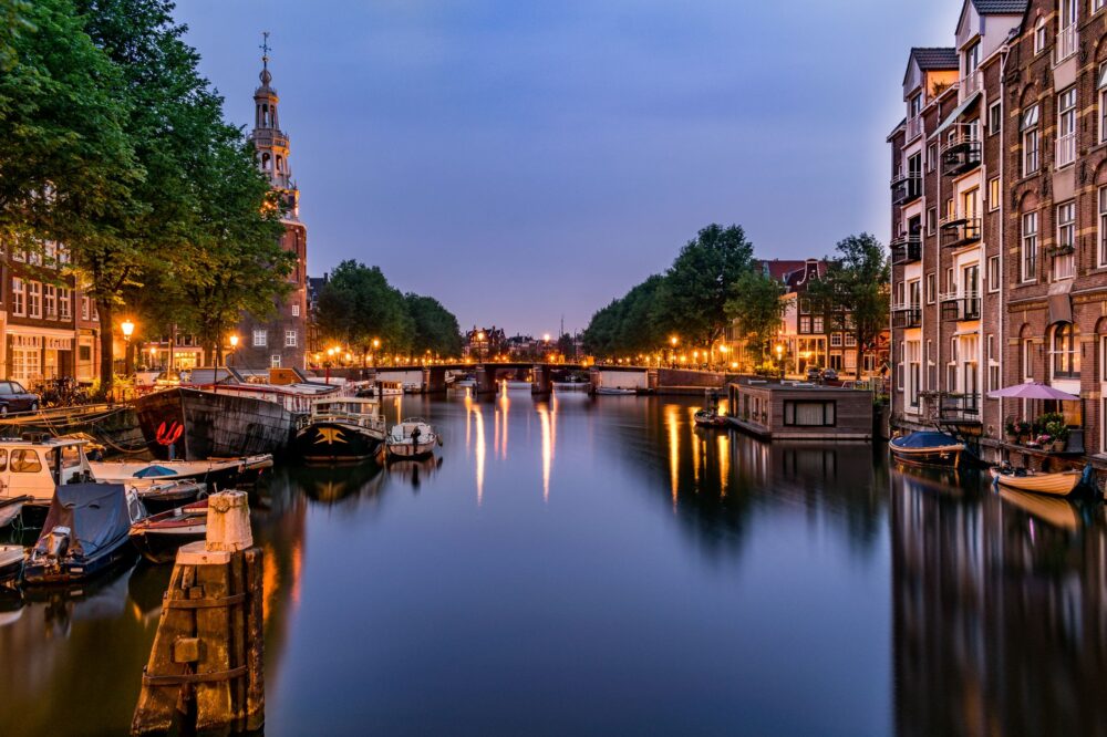
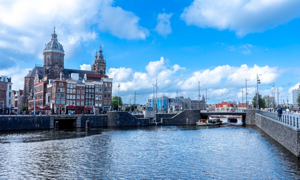
Amsterdam’s layout follows a logic that dates back to the 17th century, when the city expanded beyond the Singel to create the famous canal belt. That structure, now a UNESCO World Heritage Site, is not just a tourist attraction: it is mobility infrastructure. Bridges are obligatory crossing points, canals are natural barriers that force detours, and the narrow streets of the historic centre discourage heavy motor traffic.
The result is a city where distances seem short but routes demand attention. A twenty-minute walk can become thirty if you take the wrong bridge. So the first tip for any visitor is simple: study the canal map before heading out. It is not about memorising it, but about understanding that the city is organised in concentric rings and that crossing from one neighbourhood to another almost always means taking a specific bridge.
The tram: the backbone that never sleeps
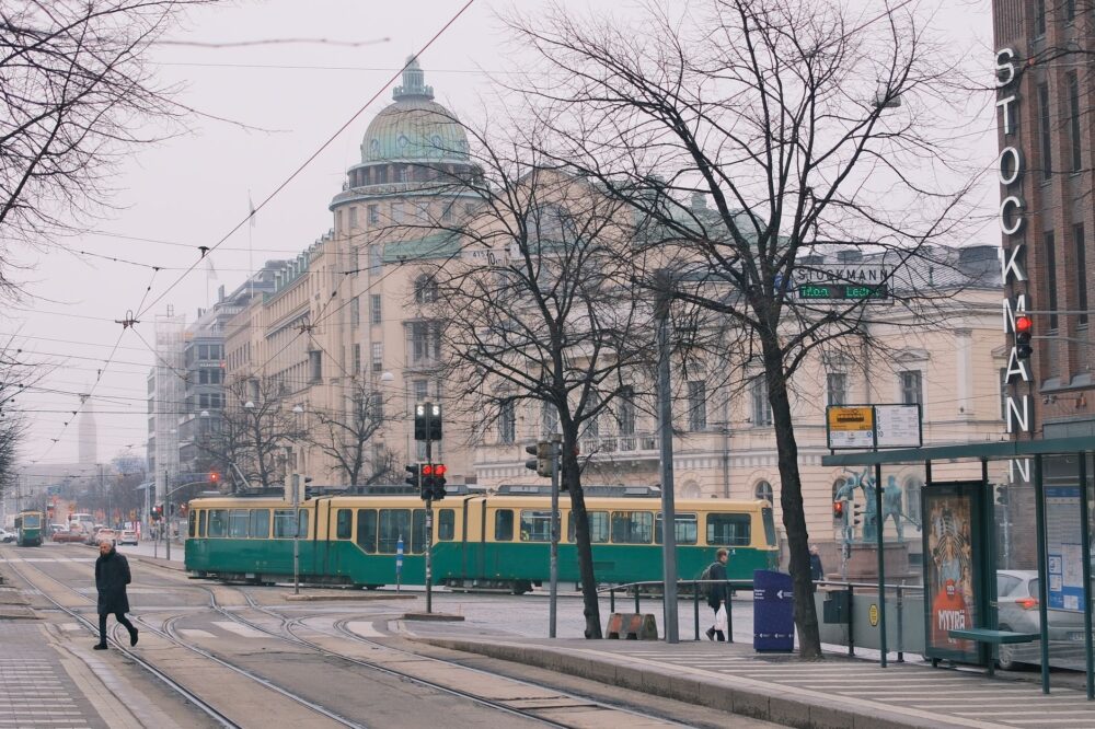
Amsterdam’s tram network is one of the densest in Europe. With more than a dozen lines crossing the city from north to south and east to west, trams connect Central Station with residential areas such as Oud-Zuid, the Museum Quarter or the museum district. For visitors, it is the most efficient way to cover medium distances without depending on the weather.
Using the tram requires understanding a system that runs on contactless cards or time-based tickets. The key is to check in and check out: the Dutch system charges by distance travelled, not by single ride. Failing to check out can result in an unwanted maximum charge. Machines are inside the vehicles, and although staff are tolerant of newcomers’ mistakes, the fine for travelling without a ticket is high and applied without exception.
The tram is not just a means of transport: it is a moving viewpoint from which the city unfolds in layers, from the central canals to the social housing blocks of the west.
The bicycle: not an accessory, but the local language
There are more bicycles than people in Amsterdam. This often-repeated claim remains true and has practical consequences for visitors. Cycle paths are separated from motor traffic and pedestrian areas, and they have their own rules: traffic lights, signs and right-of-way priorities. Walking on a cycle path is the most common offence among tourists and the cause of more than a few scares.
Renting a bicycle is easy, but riding one demands respect for the unwritten code. Locals pedal with a confidence that can be intimidating: they do not wear helmets, they ride in groups and they do not hesitate to ring their bell if someone invades their space. For visitors, the advice is to start on quiet routes, such as Vondelpark or the Amsterdamse Bos, before venturing into the centre. The bike is not a tourist toy: it is the main vehicle for thousands of people commuting every morning.
The IJ ferry: the most democratic transport
North of Central Station, the IJ river separates the historic centre from the neighbourhoods of Amsterdam-Noord, an area that was industrial outskirts for decades and is now undergoing cultural transformation. The ferry that crosses the river is free, runs throughout the day and carries bicycles, pedestrians and motorbikes. It is probably the most democratic means of transport in the city.

For visitors, taking the ferry is an experience in itself. The crossing lasts only a few minutes, but it offers a perspective of Amsterdam that few tourists know: the silhouette of Central Station from the water, the rehabilitated warehouses on the north bank and the skyline of the modern city. It is also the gateway to places such as the A’DAM Lookout or NDSM Wharf, a former shipyard turned cultural centre.
Planning without timetables: the logic of frequencies
One of the most notable differences between Amsterdam and other European capitals is the frequency of public transport. Trams, buses and metros run every few minutes, reducing the need to check exact timetables. However, that frequency varies by line and time of day. Main lines maintain short intervals during the day but become less frequent after midnight.
For visitors planning a full day, the most effective strategy is to group destinations by area. The city is not huge, but the canals force detours. Designing an itinerary that combines tram and walking is more efficient than trying to cover everything with a single mode. For example, a morning at the Van Gogh Museum and the Rijksmuseum can be done on foot, while getting to the Albert Cuyp market requires a tram or bicycle.
The metro: fast, but selective
Amsterdam’s metro network is less extensive than the tram network, but it plays a key role: connecting the centre with the outskirts and Central Station. The North-South line, opened in 2018, crosses the IJ and links Amsterdam-Noord with the south of the city in a few minutes. For visitors staying in peripheral neighbourhoods, the metro can be the fastest option to reach the centre.
However, the metro does not replace the tram for moving within the canal belt. Its stations are more spaced out and walking distances to the final destination can be long. The practical rule is simple: metro for long distances, tram for medium distances, walking for the historic centre.
Central Station: gateway and hub of connections
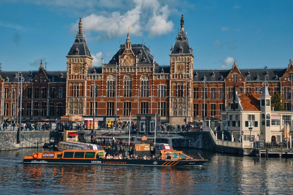
Amsterdam Central Station is much more than a monumental late-19th-century building. It is the point where national and international trains, trams, buses, ferries and the metro line converge. For travellers arriving from Schiphol Airport, the direct train to the station is the fastest and most predictable option.
From there, moving into the historic centre is easy: most tram lines depart from the square in front of the building. The station also houses lockers, tourist information offices and bicycle rental points. It is, in short, the place to pause for a few minutes to get your bearings before heading into the city.
Common mistakes and how to avoid them
Most mobility problems in Amsterdam stem from three mistakes: walking on cycle paths, failing to validate transport tickets correctly and underestimating distances between neighbourhoods. The first is dangerous; the second, costly; the third, exhausting. To avoid them, simply follow a few basic guidelines.

- Always look before crossing: cyclists have priority and do not always slow down.
- Check in and check out on trams, buses and metro.
- Consult a canal map to understand which bridge crosses towards your desired neighbourhood.
- Allow extra time for walking: bridges and narrow streets slow the pace.
- Avoid taxis in the historic centre: they are slower and more expensive than trams or bicycles.
Practical guide
To organise mobility in Amsterdam without surprises, it is worth keeping in mind a series of practical recommendations that do not depend on specific timetables or fares, but on the logic of the system.
Accommodation and transport: if your hotel is in the centre, walking and using the tram is enough. If it is on the outskirts, check proximity to a metro station or a high-frequency tram stop.
Bicycle: renting a bike is an excellent way to explore, but only if you respect the rules. Riding in the correct lane, signalling turns and not using your phone while pedalling are basic rules.
Ferry: crossing the IJ is free and frequent. It is an ideal option for visiting Amsterdam-Noord and enjoying different views of the city.
Daily planning: grouping visits by area reduces travel. The historic centre, the museum quarter and the Jordaan can be explored on foot; for more distant areas, the tram is the best option.

Safety: although Amsterdam is a safe city, it is worth being aware of cycle paths and trams when crossing. Public transport is safe and well monitored.
A city that rewards calm
Moving through Amsterdam is not a race but an exercise in adaptation. The city has its own rhythm, marked by the tinkling of trams, the sound of bicycle bells and the silence of the ferries crossing the IJ. Understanding that rhythm is the best way to enjoy a capital that, despite its fame, still keeps spaces of calm for those who take the time to plan.
At the end of the day, when the lights of the bridges reflect on the water and the last cyclists head home, you are left with the feeling of having crossed a city that does not resist visitors but invites them to move at its own pace. And that pace, almost always, is slower, more human and more efficient than it seems.