
The Rhaetian Railway in the Albula and Bernina landscapes is far more than a train line: it is a living testament to how early 20th-century engineering overcame the isolation of the Swiss Central Alps. Inscribed as a UNESCO World Heritage Site in 2008, this railway ensemble brings together two historic routes that cross two mountain passes and traverse some of Switzerland’s most spectacular scenery. To travel it today is to glimpse a past that still operates with the same precision as it did over a century ago.
The Albula line, opened in 1904, and the Bernina line, dating from 1910, total 128 kilometres of track that wind through mountains, glaciers and mountain villages. This is not a static museum but an active infrastructure that serves residents and visitors daily. This report offers a unhurried approach to its history, architecture and relationship with the environment, with practical tips for those who wish to explore it responsibly.
A heritage on rails
UNESCO inscribed this property in 2008 under criteria (ii) and (iv), recognising its outstanding value as an example of railway development in high mountains and its harmony with the landscape. The Rhaetian Railway, known as RhB from its German initials, manages both lines and maintains a balance between heritage conservation and modern operation. Trains still run regularly, and many of the original structures, such as tunnels and viaducts, remain in use.
The ensemble is an outstanding example of how the railway overcame the isolation of Alpine settlements in the early 20th century. It had a lasting socio-economic impact on mountain life, facilitating the exchange of people, goods and ideas. It also represents a rare symbiosis between architecture, civil engineering and nature.
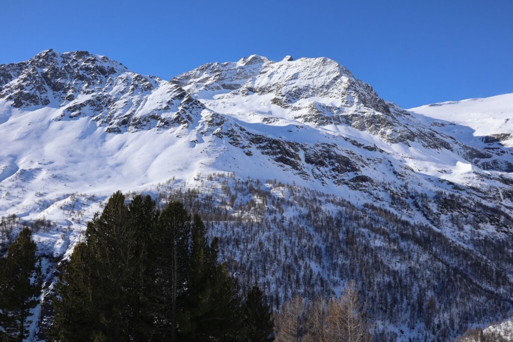
The Rhaetian Railway did not just connect remote valleys: it wove a new relationship between humans and the mountains, based on respect and mutual need.
The Albula line: 67 kilometres of ingenuity
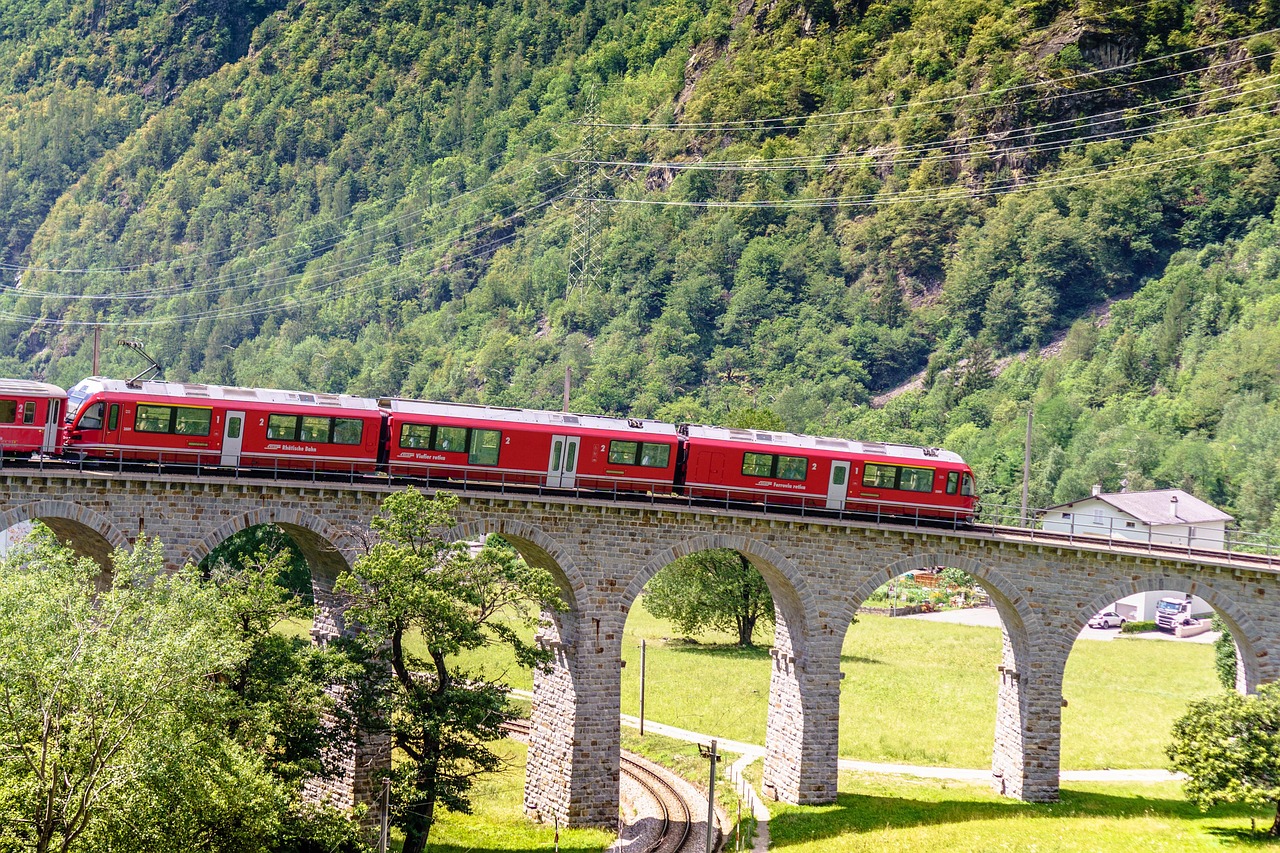
The Albula line, in the north-western part of the site, was inaugurated in 1904 and stretches for 67 kilometres. Its route includes 42 tunnels and covered galleries, plus 144 viaducts and bridges. These figures give an idea of the complexity of the terrain that had to be overcome. The best-known feature is the Landwasser Viaduct, a limestone curve that plunges directly into the rock face. To see it in operation, with the train emerging from the tunnel, is one of those images that explain why this railway is unique.
The Albula route connects towns such as Thusis, Bergün and St. Moritz. Along the way, the landscape changes from deep valleys to Alpine plateaus. The engineering does not compete with the surroundings: it blends into them. The stone walls, the arches of the viaducts and the precisely calculated gradients are a testament to the construction quality of the era.
The Landwasser Viaduct
Built between 1901 and 1903, the Landwasser Viaduct is one of the most photographed structures in Switzerland. It spans a deep gorge and ends in a tunnel carved into the rock. Its bold design and state of conservation make it a symbol of Alpine railway engineering. You do not need to be an expert to appreciate its beauty: simply watch as the train glides over the arches and disappears into the mountain.
The Bernina line: 61 kilometres towards the glacier
The Bernina line, opened in 1910, is 61 kilometres long and connects St. Moritz with Tirano, already in Italy. Although the UNESCO site focuses on the Swiss section, the continuity towards Italy is part of its history. This line is known for its proximity to the Morteratsch Glacier and for reaching notable altitudes without relying on rack-and-pinion for most of its route. Its 13 tunnels and galleries and 52 viaducts and bridges are spread across a high-mountain landscape that changes with the seasons.
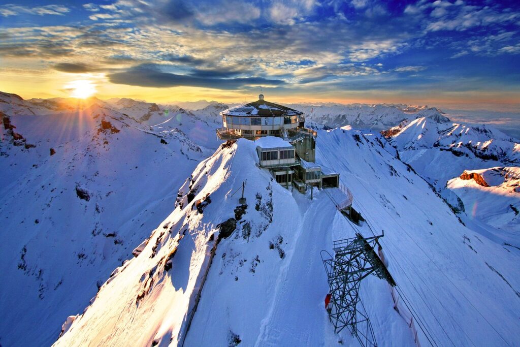
The highest point is Ospizio Bernina station, at around 2,253 metres above sea level. There, the landscape is austere and grand: snow, rocks and glacial lakes. In winter, the train becomes an essential means of transport for skiers and residents. In summer, hikers use it to access trails of varying difficulty.
The Morteratsch Glacier
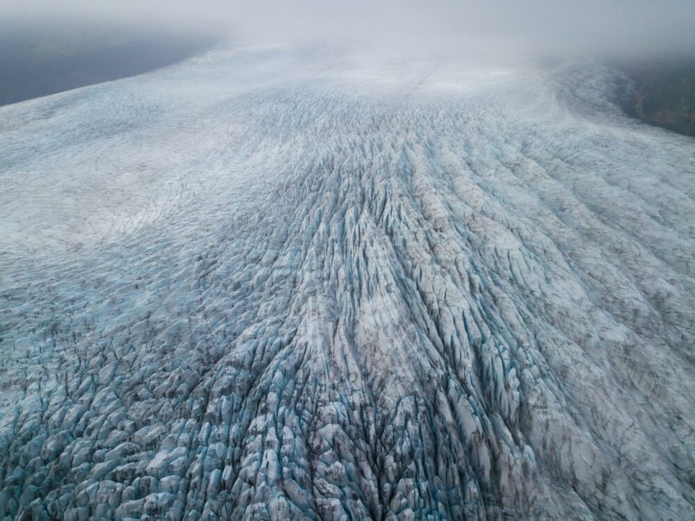
From the train, on clear days, the Morteratsch Glacier comes into view, one of the largest in the Eastern Alps. Its retreat is a visible reminder of climate change. The railway does not cause this phenomenon, but its presence allows travellers to observe the landscape and reflect on the fragility of these environments. Morteratsch station provides access to trails that approach the glacier, always with due precautions.
A railway that transformed life in the Alps
Before the arrival of the train, many Alpine communities lived in relative isolation, especially in winter. The construction of these lines was a revolution: it allowed the transport of goods, facilitated medical care and opened the region to tourism. UNESCO highlights the lasting socio-economic impact of this railway on mountain life. Today, the villages along the route depend partly on tourism, but they also maintain traditional activities such as livestock farming and mountain agriculture.
The Rhaetian Railway employs hundreds of people and is an economic engine for the region. Its management combines heritage preservation with technical innovation, such as the introduction of more efficient trains and improved accessibility. Travellers can contribute to the area’s sustainability by using public transport, shopping in local businesses and respecting the natural environment.
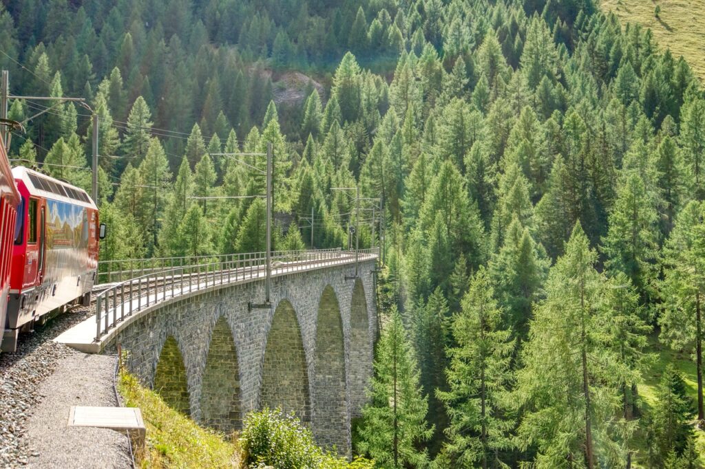
Travelling on the Rhaetian Railway is to take part in a shared history: that of those who built these tracks and those who keep them alive today.
Architecture and landscape: an exemplary symbiosis
One of the reasons this site was inscribed on the World Heritage List is the harmony between the railway infrastructure and the landscape. The stone viaducts, the tunnels carved into the rock and the mountain stations blend in without jarring. There are no large concrete plants or metal structures that break the scale. The aesthetic is sober and functional, but also profoundly beautiful.
The use of local materials, such as limestone and wood, contributes to this integration. The gradients and curves adapt to the terrain rather than forcing it. This construction philosophy, current in the early 20th century, remains a benchmark for infrastructure projects in sensitive areas. Visitors can appreciate these details at every station and along every section of the route.
What to see and how to travel it
The Rhaetian Railway offers several options for travellers. The complete route between Thusis and Tirano, passing through St. Moritz, is one of the most comprehensive. It is also possible to do partial sections, such as the journey between St. Moritz and Tirano, which includes the Bernina Express, a panoramic train with glass-roofed carriages. Another popular section is the Albula route, between Thusis and St. Moritz, which includes the Landwasser Viaduct.
Trains run throughout the year, although schedules may vary by season. It is advisable to check official timetables on the Rhaetian Railway website. In winter, some hiking trails may be closed, but the snowy landscape compensates for any limitation. In summer, Alpine flowers and green meadows add colour to the journey.
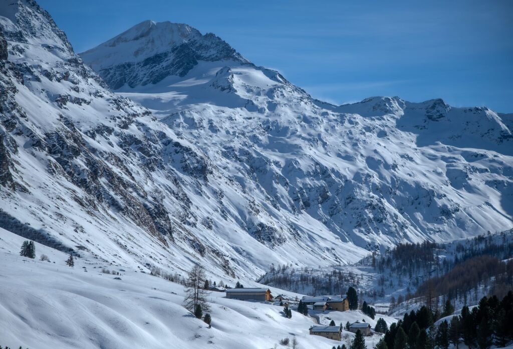
Charming stations and villages
- Bergün: a mountain village with traditional Engadine houses and a railway museum.
- Preda: starting point for trails and the famous Albula helical tunnel.
- Ospizio Bernina: the highest station on the line, with views of the glacier and glacial lakes.
- Poschiavo: on the Italian side, with a well-preserved historic centre.
- Tirano: the end of the line, with its Italian architecture and lively atmosphere.
Practical guide
To travel the Rhaetian Railway in the Albula and Bernina landscapes, it is best to plan ahead. The Swiss train network is efficient and punctual, but panoramic trains are often in high demand during peak season. Seat reservations are recommended if travelling on the Bernina Express or the Glacier Express (which shares part of the route).
Photographic equipment and appropriate clothing are important: in high mountain areas the weather can change quickly. Layered clothing, sun protection and comfortable footwear are advisable. For photography enthusiasts, the best light is early morning and late afternoon, although trains run throughout the day.
Respect for the environment is essential. It is not permitted to leave marked trails or litter. Local communities appreciate conscious tourism that values their heritage and way of life. Buying local products and using public transport are simple ways to contribute.
Getting there
The main gateways are Zurich, Basel and Milan, with rail connections to Chur and St. Moritz. From Chur you can take the train to Thusis and then the Albula. For the Bernina, the usual starting point is St. Moritz. Zurich and Milan Malpensa airports are well connected to the Swiss rail system.
When to travel
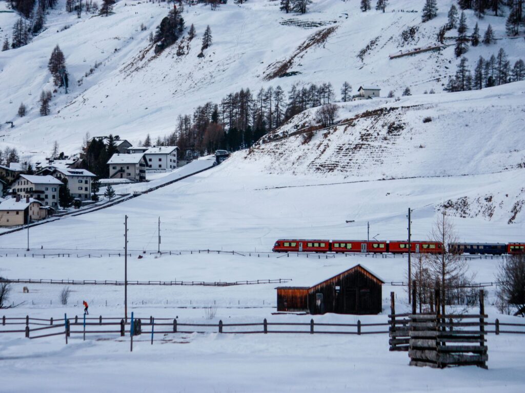
Each season has its appeal. Summer offers long days and mild temperatures, ideal for combining train and hiking. Autumn tints the forests with warm colours. Winter transforms the landscape into a white blanket, although some hiking trails may be closed. Spring is less predictable, but the valleys fill with flowers.
A journey to remember
The Rhaetian Railway in the Albula and Bernina landscapes is an experience that transcends simply travelling by train. It is an encounter with history, engineering and nature at its purest. Every tunnel, every viaduct and every curve tells a story of effort and vision. Travellers who pause to observe carefully will discover that this railway does not just connect places: it connects eras.
At the end of the journey, in Tirano or St. Moritz, there remains the feeling of having witnessed something exceptional. You do not need to be an expert to appreciate it. Simply look out of the window and let yourself be carried by the unhurried rhythm of the train, as the Alpine landscape unfolds in all its majesty. That is perhaps the greatest gift of this journey: the chance to contemplate, without haste, the mark humans can leave when they build in harmony with the mountains.