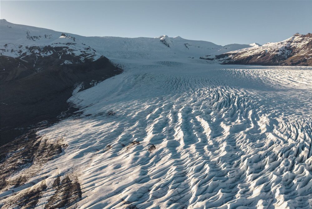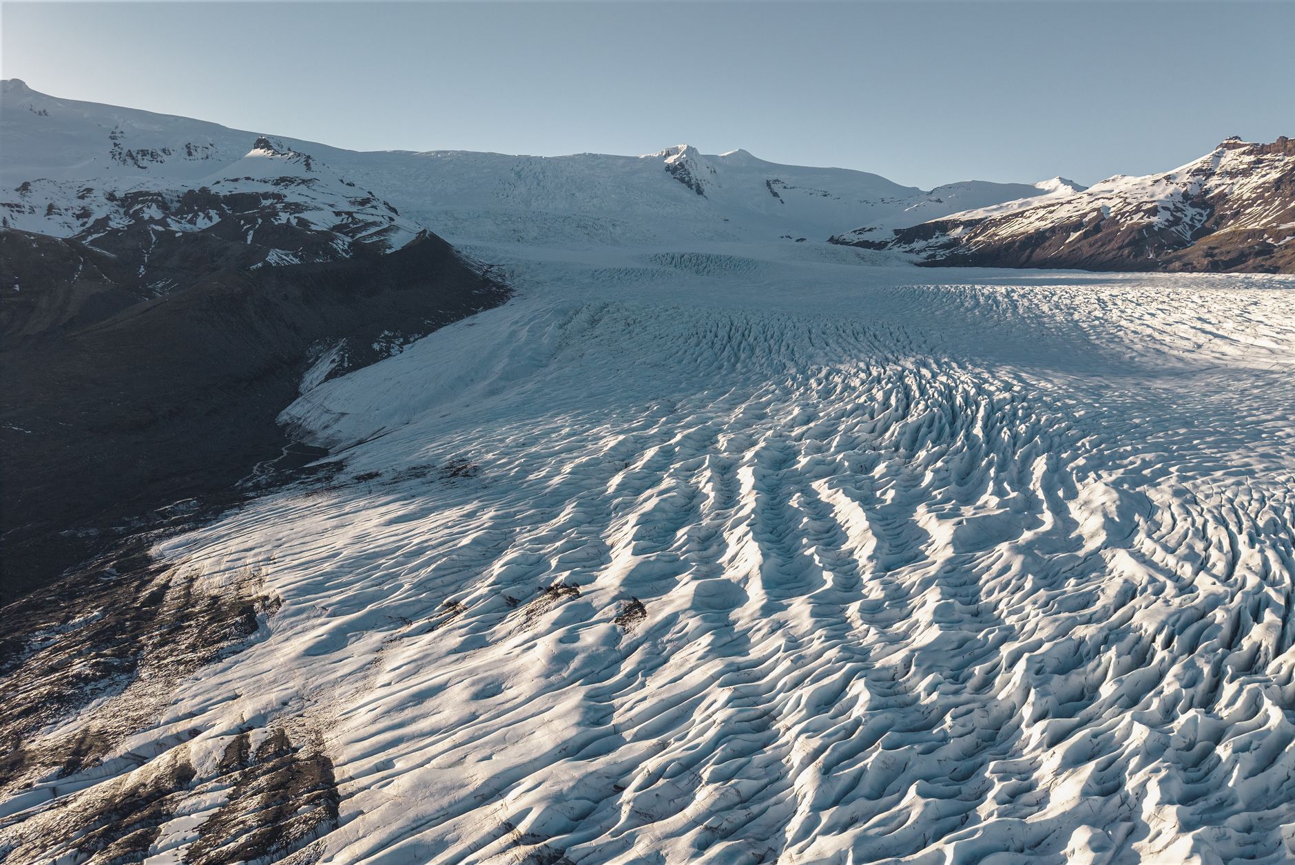

The traveler arriving in southeast Iceland for the first time often expects a white, motionless mass. Instead, they find an organism that breathes: Vatnajökull, Europe’s largest ice cap, covers roughly 780,000 hectares and sits atop an active volcanic system. There, ice is not a backdrop but a material in permanent transformation. Understanding it requires abandoning the idea of landscape as postcard and embracing that of landscape as process.
This report offers an interpretive reading of that territory: what to look at, how to name what you see, and how to prepare a visit that respects both the scale of the place and its risks. It is not a summit chronicle or a route diary, but a tool for anyone who wants to understand why Vatnajökull is a unique natural laboratory.
A territory that changes shape
Vatnajökull stretches across southeast Iceland and forms part of a national park that, together, exceeds 1,400,000 hectares, nearly 14% of Iceland’s territory. Beneath the ice dome lie ten central volcanoes, eight of them subglacial. Two rank among the country’s most active. That coexistence of magma and cryosphere explains the variety of forms the visitor observes: they are not random whims but the result of a system that has been interacting for millions of years.
The Mid-Atlantic Ridge, the only portion of this chain exposed above sea level, crosses Iceland and separates the North American and Eurasian plates at a rate of roughly 19 millimeters per year. That separation is accommodated through rift zones, two of which cross the park. Beneath their intersection, a mantle plume feeds the volcanism. The result is a landscape that builds and destroys itself at an unusual pace.
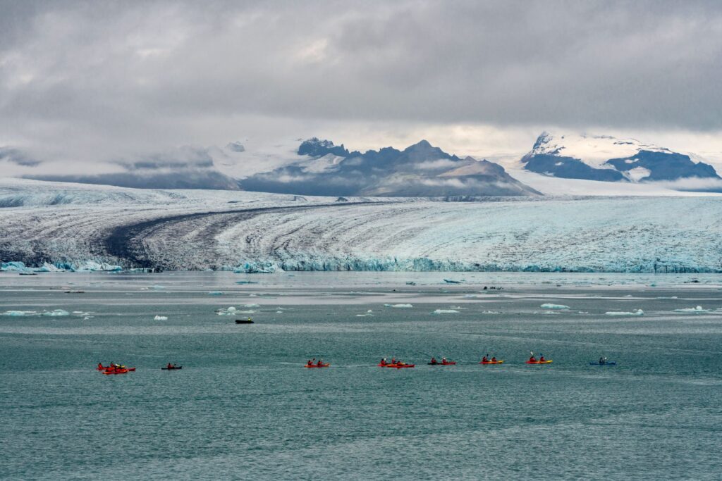
The ice of Vatnajökull is not a stable monument: it is a draft that the Earth rewrites each season.
The language of glacial forms
Learning to read the landscape requires a minimal vocabulary. Tuyas are flat-topped mountains that originated when an eruption took place beneath a past glacier; tindar are elongated ridges formed under similar conditions. Both appear in the park in numbers unmatched anywhere else in the world. Their brown color, typical of hyaloclastites, betrays their origin: lava that cooled abruptly on contact with ice or water.
Sandur are the vast plains of sand and gravel extending north and south of the ice cap. They are not ordinary deserts: they were formed by sudden floods known as jökulhlaup, triggered when an eruption breaches a glacier’s margin and releases enormous volumes of water at once. Those same torrents carved canyons that are still evolving today. For the attentive observer, every form tells a story of water and fire.
When the volcano breaks the ice
The jökulhlaup phenomenon is the most spectacular expression of the interaction between volcanism and glacier. It occurs when the heat of a subglacial eruption melts ice, water accumulates, and eventually breaches the glacier’s edge. The resulting current carries sediment, alters channels, and leaves behind a renewed landscape. It is neither frequent nor precisely predictable, but its footprint is visible in the park’s geomorphology.
This dynamic makes Vatnajökull a place of first-order scientific interest. The interaction between magma, lithosphere, cryosphere, hydrosphere, and atmosphere generates processes that are underrepresented elsewhere on the World Heritage List. In fact, it is considered the place where the phrase «land of ice and fire» was coined.
An archive of climate
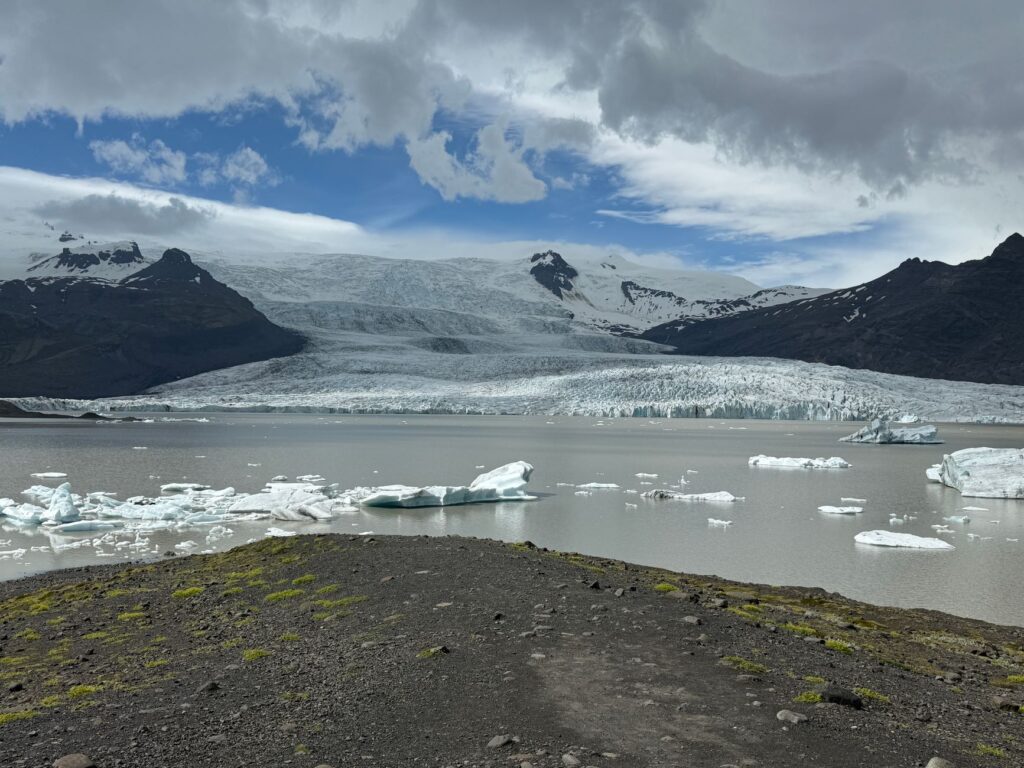
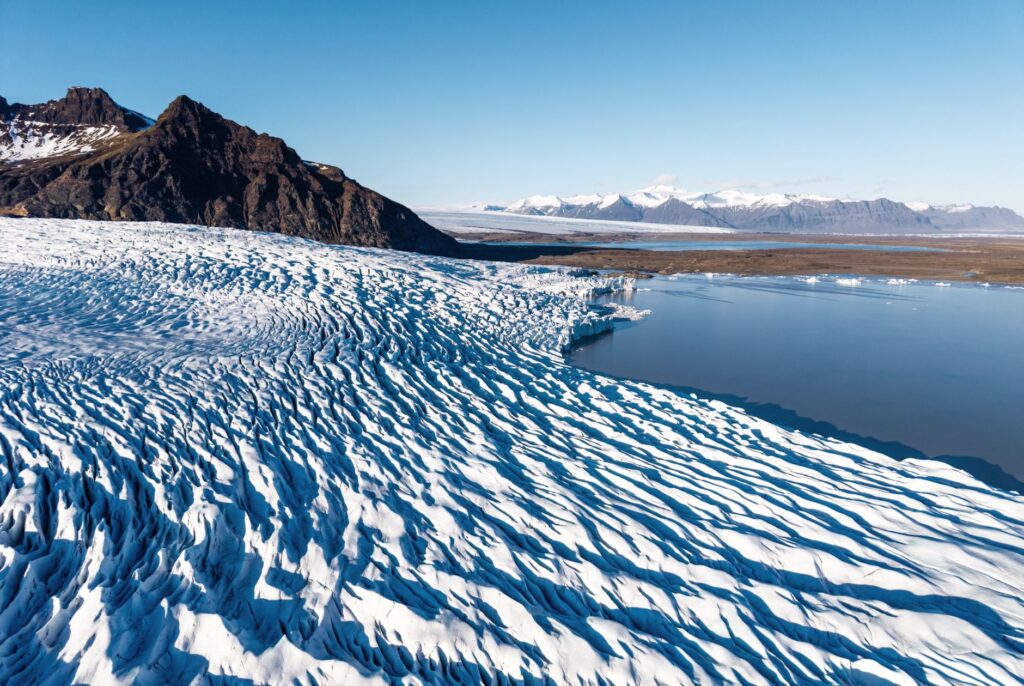
The ice cap reached its greatest extent at the end of the 18th century and has on average been retreating since then. In recent decades, that retreat has accelerated. For the visitor, this means that glacier fronts and associated landscapes change from one year to the next. Outlet glaciers, such as those descending toward the southern lowlands, offer some of the most accessible observation points to witness that process.
The retreat of the ice exposes forms that were previously hidden and allows scientists to study how the terrain responds. That is why the park has become a reference site for glaciological research. Walking near its edges is, in a sense, walking over an archive that is being written.
Watching a glacier retreat is not contemplating an abstract loss: it is seeing time measured in meters.
Life at the margins of the ice
The landscape is not sterile. In the park’s volcanic zones lives an endemic groundwater fauna that survived the last ice age. These are organisms adapted to extreme conditions, whose study helps understand how life persists in hostile environments. In subglacial lakes, moreover, single-celled organisms thrive that could serve as analogues for conditions on early Earth or on icy moons such as Europa or Enceladus.
Outside the ice, the terrain varies between extensive lava flows and mountains. Vegetation is sparse and fragile, which is why conservation guidelines insist on staying on marked trails. The park’s integrity relies on minimal human use: about 85% of its surface is classified as wilderness.
Heritage and protection
The national park was established by Icelandic Act No. 60/2007 and Regulation No. 608/2008, with subsequent amendments. The Herðubreiðarlindir and Lónsöræfi nature reserves are protected under Nature Conservation Act No. 47/1971. Management falls to the agency Vatnajökulsþjóðgarður, which has a management strategy, an action plan, and long-term monitoring through satellite and ground-based observations.
The site was inscribed on the World Heritage List in 2019 under criterion (viii), which recognizes its geological value. The property covers more than 1,400,000 hectares and includes the entire ice cap as it stood in 1998, plus two contiguous protected areas. Most of the territory corresponds to IUCN Category II.
What to look at and how to name it
To interpret the landscape, it helps to focus on specific indicators. The shape of the mountains reveals whether they were born beneath ice or in the open air. The color of the rock distinguishes recent lavas from hyaloclastite materials. The direction of the canyons suggests where water from a glacial flood once flowed. And the position of glacier fronts allows comparison of the current extent with that of previous years.
Naming what you see well is a way of respecting it. It is not the same to contemplate «a glacier» as to recognize an outlet glacier draining an ice cap over an active volcanic system. That difference completely changes the experience and also the visitor’s responsibility.
Practical guide
Visiting Vatnajökull requires planning. The region is mainly traveled from Iceland’s ring road, with access to the southern glacier fronts and to the park’s northern zones. Weather conditions change rapidly and can alter any itinerary, so it is advisable to check official park and meteorological agency information before setting out.
- Season: summer offers more daylight hours and better conditions for travel; winter demands experience and specific equipment.
- Safety: never walk on a glacier without a certified guide and proper equipment. Crevasses and collapses are real risks.
- Technical activities: for glacier hikes, ice caves, or high-mountain routes, it is essential to hire authorized operators who know the terrain and the day’s conditions.
- Gear: waterproof and warm clothing, mountain footwear, wind protection, and enough water.
- Conservation: respect trails, leave no waste, and keep distance from wildlife and unstable edges.
- Information: consult the official websites of Vatnajökulsþjóðgarður, Safe Travel Iceland, and the Icelandic meteorological office before any trip.
The park receives a growing number of visitors, and management works to balance access with protection of the site. Planning ahead, staying informed, and hiring accredited local services are concrete ways to contribute to that conservation.
The journey that remains
At the end of the day, when the light drops and the ice takes on bluish tones, Vatnajökull ceases to be an object of study and becomes a presence. You do not need to climb a summit or follow an epic route to feel its scale. It is enough to pause at a viewpoint, listen to the silence broken by the wind, and understand that what lies before you is not a finished landscape but a process that continues without us.
That is, perhaps, the most valuable lesson of this Icelandic territory: learning to look at what changes and accepting that our visit is only an instant within a much longer story.