
Engineering and Geography in the Heights of the Puna
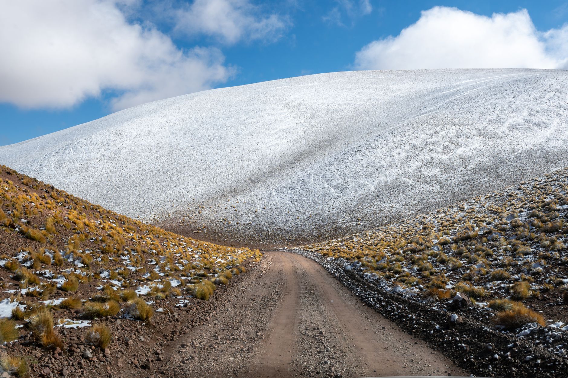
The territory of the Argentine Puna represents one of the most complex and imposing geographical settings on the South American continent. At over four thousand meters of altitude, the Andes mountain range displays a landscape of infinite salt flats, volcanic peaks, and desert plains where the atmosphere becomes translucent and demanding. In this extreme environment, the railway known as the Train to the Clouds is not merely a tourist transport medium, but a masterwork of 20th-century civil engineering designed to defy the limits of gravity and connect isolated regions through the Quebrada de Humahuaca and the valleys of Jujuy and Salta toward the Chilean border.
Planning a railway and high-mountain expedition through this region requires understanding the millimetric interaction between mechanical technology and the climatic rigors of the puna. The convoys ascending along branch C-14 of the General Belgrano Railway overcome dizzying abysses via metal viaducts and monumental zigzags designed by American engineer Richard Maury in the 1920s. Every kilometer of track required innovative structural solutions to avoid rack-and-pinion systems, relying instead on pure adhesion that continues to fascinate engineers, historians, and experienced travelers today.
The geography of the Puna permits no improvisation. Daily temperature ranges can exceed thirty degrees Celsius within hours, and atmospheric pressure drastically reduces oxygen availability, affecting both internal combustion engines and the human body. For this reason, prior route study and an understanding of railway safety protocols are indispensable elements for any expedition seeking to document or traverse this Andean corridor with professional rigor.
Connection Logistics and the Departure Point in Salta
The neuralgic point of any railway journey through northern Argentina is located in the city of Salta, capital of the eponymous province. From its central station, connection logistics require coordinating with millimetric precision complementary land transfers, as specific sections of the network may require four-wheel-drive vehicular support due to periodic maintenance or adverse weather conditions in the high cordillera.
Expedition members must allow at least three days of prior acclimatization in the city of Salta, situated at approximately 1,150 meters above sea level, before initiating the direct ascent toward the station of San Antonio de los Cobres and the iconic La Polvorilla Viaduct. Ignoring this period of physiological adaptation exponentially increases the risk of suffering from soroche or acute mountain sickness, a condition that can incapacitate even the most experienced traveler during key stages of the route.
Air and land connections to Salta operate regularly through the Martín Miguel de Güemes International Airport, linked daily with Buenos Aires. However, the true logistical complexity begins upon leaving the urban valley to enter National Route 51, the highway arterial running parallel to the railway track that serves as an escape route, supply line, and logistical support for maintenance crews and expedition teams.
Monumental Engineering: La Polvorilla Viaduct and the Zigzags
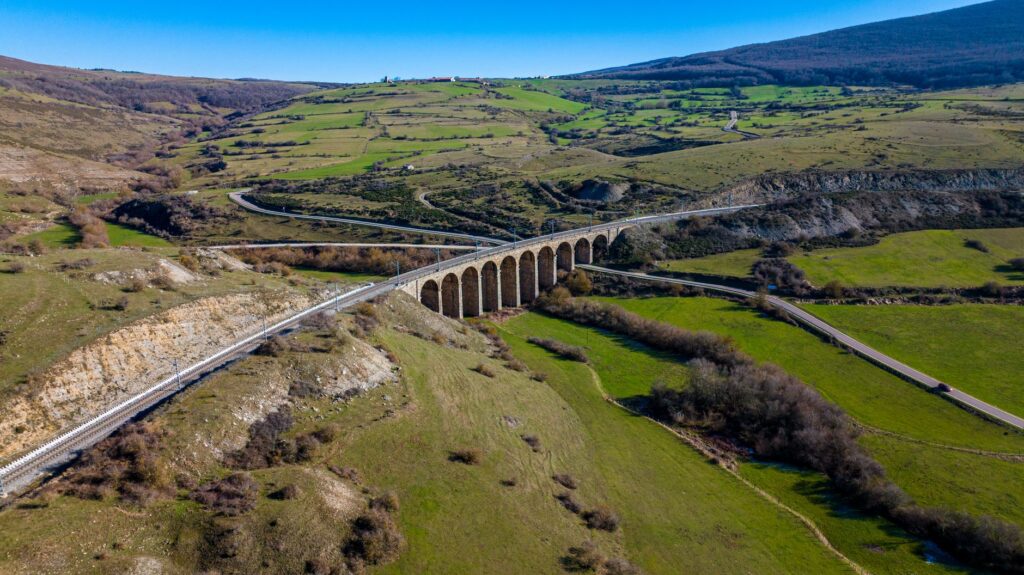
The culmination of the railway route is found at the imposing La Polvorilla Viaduct, situated at an altitude of 4,220 meters above sea level. This steel-beam structure, describing a perfect curve over a deep canyon, represents the ultimate triumph over Andean topography. Built entirely in workshops and assembled on-site without hot rivets, the viaduct stands as a testament to the technical precision of an era where human and animal energy constituted the primary construction resource.
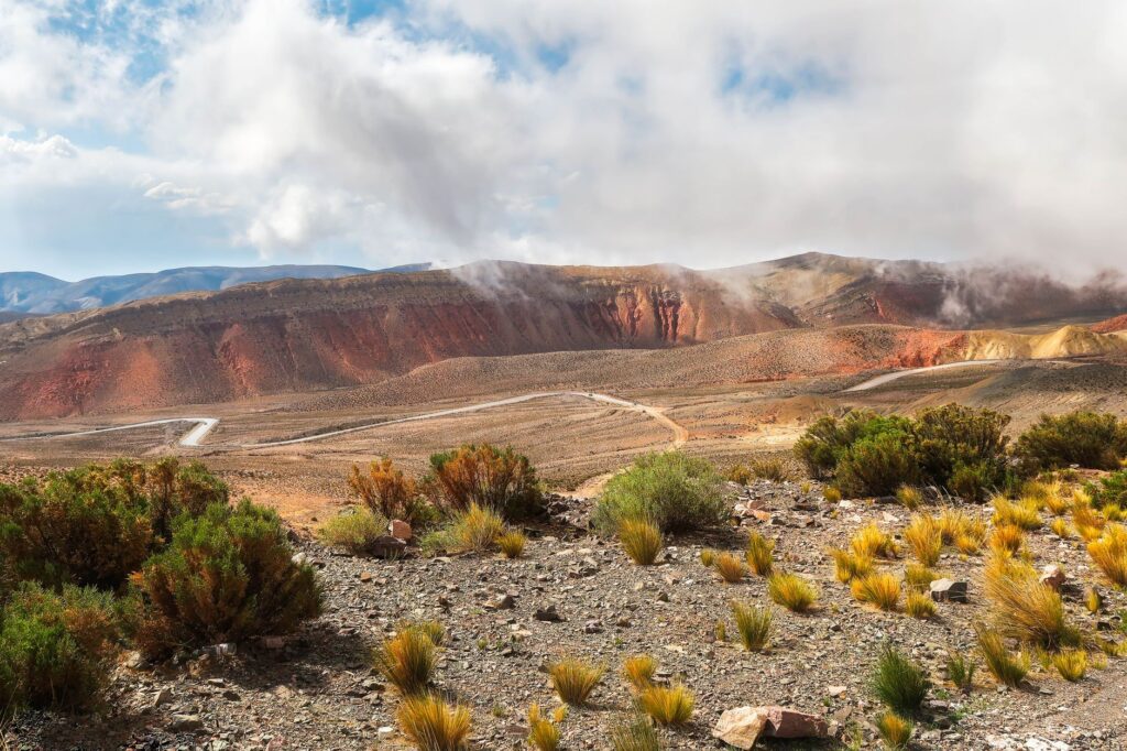
Along the route, the train overcomes geographical obstacles through an ingenious system of switchbacks or zigzags, allowing the locomotive to gain height on slopes with impossible grades via alternating forward and reverse maneuvers. This design avoids the necessity of excessively long tunnels in geologically unstable rock, prioritizing structural stability against frequent seismic movements in the cordilleran region.
For photographers and expedition chroniclers, documenting these structures requires equipment protected against the fine dust of the high desert and the low temperatures that affect the durability of batteries. The zenithal light of the Puna, filtered through an atmosphere with scarce humidity, casts harsh shadows and defines metallic profiles with surgical sharpness against the deep blue sky.
High-Altitude Physiology and Route Safety Protocols
Altitude is the determining factor conditioning every operational decision in the Puna. At over four thousand meters, the volume of oxygen per breath is reduced by nearly half compared to sea level. Therefore, the railway carriages and support vehicles feature permanent medical assistance, medical oxygen tanks, and personnel trained in administering emergency protocols for cases of high-altitude pulmonary or cerebral edema.
Expedition members must maintain constant hydration and avoid heavy meals or alcohol consumption during the first forty-eight hours in zones of extreme altitude. Likewise, the use of multi-layer technical clothing—including windproof membranes and high-density thermal insulation—is mandatory to counter the impact of freezing winds descending from snow-capped peaks.
The mountain does not negotiate its terms; it demands absolute respect for its physical laws and planning where every contingency has been calculated with the precision of a Swiss chronometer.
Constant monitoring of blood pressure and oxygen saturation via pulse oximeters forms part of the daily routine for professional expedition teams operating at this latitude, ensuring timely land evacuation should any member present persistent symptoms of altitude intolerance.
Heritage Architecture and Andean Communities
The Trans-Andean Railway corridor is not merely iron and stone; it is also home to Colla and Atacameño communities that have inhabited these arid valleys for millennia. Localities like Santa Rosa de Tastil, an archaeological site of great historical value, and San Antonio de los Cobres, a living testimony to artisanal mining and commercial exchange, offer an indispensable human perspective to understand the true dimension of the territory.

Abandoned railway stations or those converted into community cultural centers act as guardians of collective memory. In these locales, architecture featuring fieldstone walls and mud-cake roofs contrasts with the industrial monumentality of British and American steel, generating a unique visual dialog between ancestral Andean tradition and the industrial modernity of the past century.
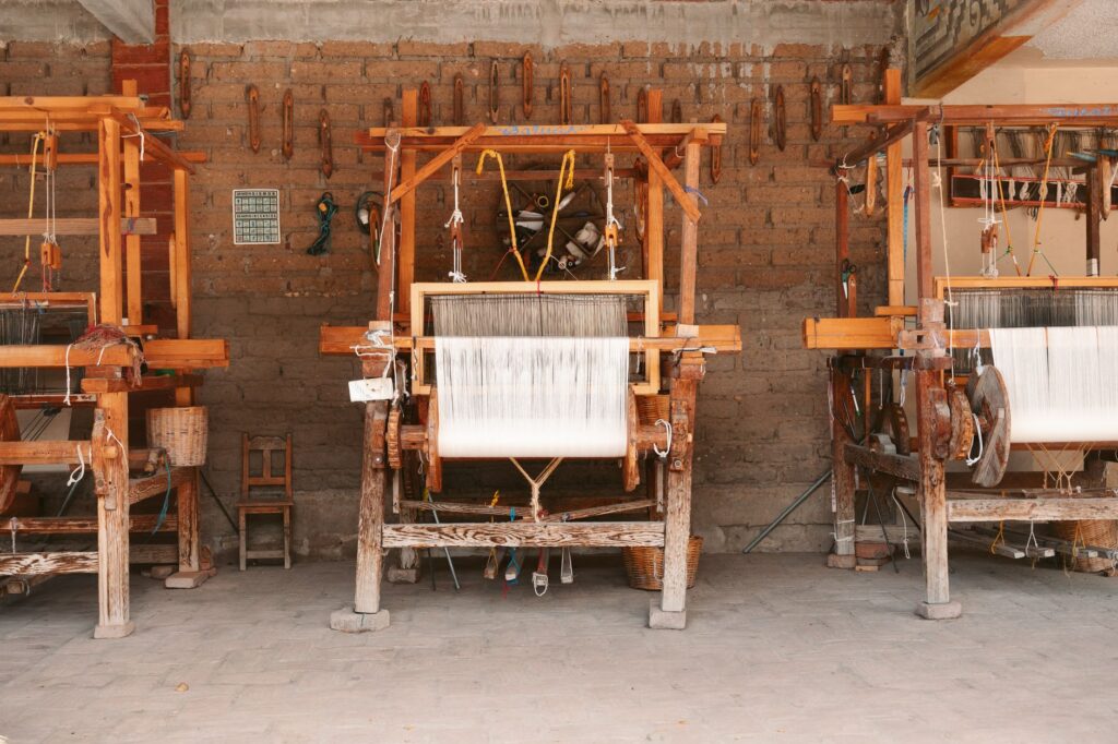
Interacting with local artisans and documenting their textile and pastoral practices—centered on the breeding of South American camelids such as llamas and alpacas—enriches any travel report, steering it away from tourist superficiality and endowing it with rigorous and respectful ethnographic content.
Extreme Meteorology and Operational Windows
The climate in the Argentine Puna is governed by aridity and thermal seasonality. During the austral winter, between the months of June and September, nighttime temperatures can drop to twenty degrees below zero, accompanied by strong freezing winds locally known as the white wind. Although skies generally remain clear and optimal for astronomical and photographic observation, land transport logistics can be temporarily disrupted by snow accumulation in the highest altitude passes.
On the other hand, the austral summer brings the phenomenon known as the Bolivian winter, characterized by isolated electrical storms and afternoon rainfall that can generate minor landslides along the slopes of National Route 51. For this reason, the most stable operational window for planning high-mountain expeditions extends during the transition months of autumn (March to May) and spring (October to November).
Permanent consultation with national meteorological services and road authorities in the province of Salta is an unavoidable requirement before initiating any travel toward the most remote sectors of the railway network.
Practical guide
- How to get there: Daily flights from Ezeiza International Airport or Jorge Newbery Airfield in Buenos Aires to Martín Miguel de Güemes International Airport in Salta. Subsequent road transfer via National Route 51.
- Documentation and permits: Valid passport or ID. If planning to cross into Chile via the Sico Pass, current international customs and phytosanitary requirements must be met.
- Recommended season: Months of April to May and October to November, when meteorological conditions are more stable and the extreme temperatures of deep winter are avoided.
- Acclimatization: Minimum of three days in the city of Salta (1,150 masl) before ascending to San Antonio de los Cobres (3,775 masl) and La Polvorilla (4,220 masl).
- Essential technical gear: Three-layer thermal clothing, UV category 4 sunglasses, factor 50+ sunscreen, pulse oximeter, and photographic equipment protected against dust and low temperatures.
- Accommodation and logistics: Boutique hotels and historic estancias in Salta capital; community guesthouses and basic refuges managed by local cooperatives in San Antonio de los Cobres.
- Health and safety: Prior purchase of travel insurance with specific coverage for rescue and evacuation in high-mountain zones. Carry a personal first-aid kit with medication for altitude sickness approved by medical professionals.
Mineral Silence and Infinite Horizons
When the last carriage comes to a halt in the absolute silence of the Puna and the sun’s reflection fades over the salt flats, the traveler understands that the true magnitude of this journey lies not solely in overcoming altitude or admiring railway engineering. The true value of the expedition is found in the capacity to tune into the immensity of a landscape that has remained nearly unaltered for eons.
In that instant of introspection, with the horizon merging between the ochre tones of the desert and the cobalt blue of the twilight sky, the effort of acclimatization and the rigor of planning take on full meaning. The Argentine high mountain reveals itself not as an obstacle to be conquered, but as a sanctuary of silence and memory where every steel sleeper tells the story of those men who dared to challenge the clouds.