
The Liquid Artery That Sculpted Europe’s Industrial Heart
From the snow-capped peaks of the Swiss Alps to its ultimate discharge into the North Sea, the Rhine River has for centuries served as far more than a simple blue line drawn across the map of the Old Continent. It stands as the backbone of an industrial and commercial civilization that found in its steady flow the most efficient highway for moving goods, ideas, and people. Throughout its journey of over twelve hundred kilometers, this channel not only crosses political borders but operates as a colossal circulatory system where natural geography has been successfully tamed by human engineering.
Understanding the sheer magnitude of this fluvial route requires looking beyond the picturesque landscape of medieval castles and terraced vineyards adorning its central banks. Beneath that romantic veneer lies one of the most intense logistical corridors on the planet, an amphibious runway where convoys of high-tonnage barges compete meter by meter with the living current. Here, every river bend and every narrowing of the riverbed represents a technical challenge meticulously calculated by navigation authorities and the crews who master these waters.
The pulse of the Rhine is measured in metric tons, lock operating hours, and critical hydrological levels. When summer droughts drastically reduce available draught, the economy of mid-Western Europe holds its breath, proving that the supposed obsolescence of river transport is a modern fallacy. Water remains the blood feeding blast furnaces, chemical plants, and logistics hubs across the continent.
Containment Engineering: Canals, Locks, and Gradient Control
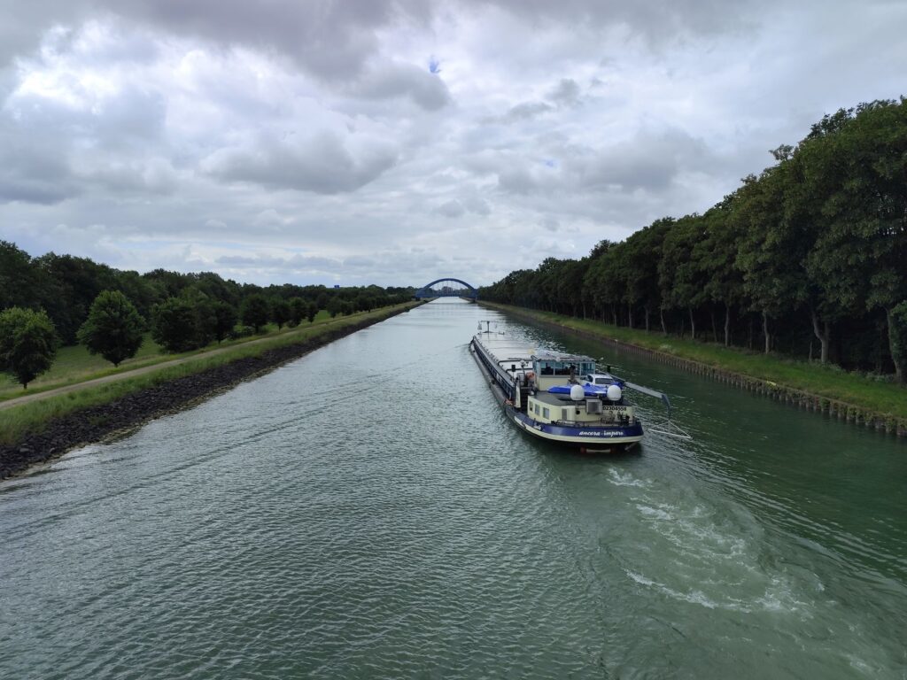
Bridging the natural elevation drop between the Swiss plateau and the plains of the Low Countries required radically transforming the Rhine’s hydraulic profile. Throughout the nineteenth and much of the twentieth centuries, successive canalization projects eliminated treacherous meanders, accelerated water flow, and armored the banks against recurring floods. Yet the true masterwork of this river taming lies in its system of locks and regulating dams, designed to maintain navigable depths even through the most fickle stretches.
These towering concrete structures and steel gates operate twenty-four hours a day, regulating millions of cubic meters of water to lift or lower entire barges with astonishing smoothness. The process, seemingly simple in theory, demands millimeter-level coordination between vessel captains and control tower operators. A miscalculation in chamber filling can generate cross-currents capable of pushing a 110-meter-long convoy off course.
The Rhine is not an untamable current, but a precision hydraulic machine where every centimeter of depth determines the economic health of the West.
Beyond the main locks, the system relies on lateral canals bypassing dangerous rapid stretches, such as the famous Iffezheim sector or the rocky gorges near Mainz. These artificial channels multiply operational complexity, turning the riverbed into a labyrinth of sluice gates, safety locks, and diversion channels demanding constant maintenance and multimillion-euro budgets.
The Steel Giants: Anatomy and Piloting of Modern Barges
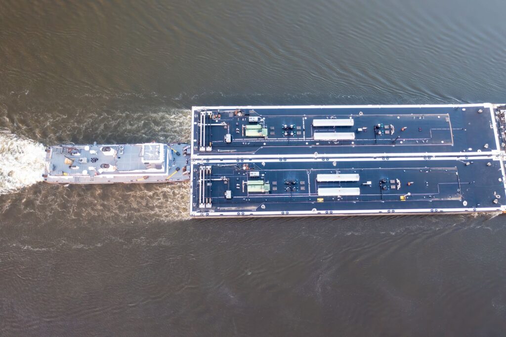
Navigating the Rhine bears no resemblance to steering a recreational yacht. The vessels dominating these waters are imposing self-propelled cargo barges and colossal push-boats driving up to four massive interlocked flats. These steel leviathans can reach lengths exceeding two hundred meters and carry thousands of tons of coal, minerals, containers, or hazardous chemicals, all powered by diesel engines producing several thousand horsepower.
Life in the pilothouse is an exercise in constant tension and expert reading of the environment. Skippers must anticipate current shifts caused by historical bridge piers, cross-swells generated by local ferries, and the dense fog frequently rising over the valley on autumn mornings. VHF radio communication is an incessant torrent of codes, overtaking warnings, and position coordinates exchanged among captains.
Unlike road transport, where error margins are absorbed by shoulders, usable space on the Rhine is strictly bounded by navigable channel limits and sandbars. A mechanical failure or a momentary distraction can strand an entire convoy, temporarily blocking one of the world’s busiest economic arteries and triggering an immediate domino effect across European supply chains.
The German Grand Canyon: The Loreley Pass and Geological Memory
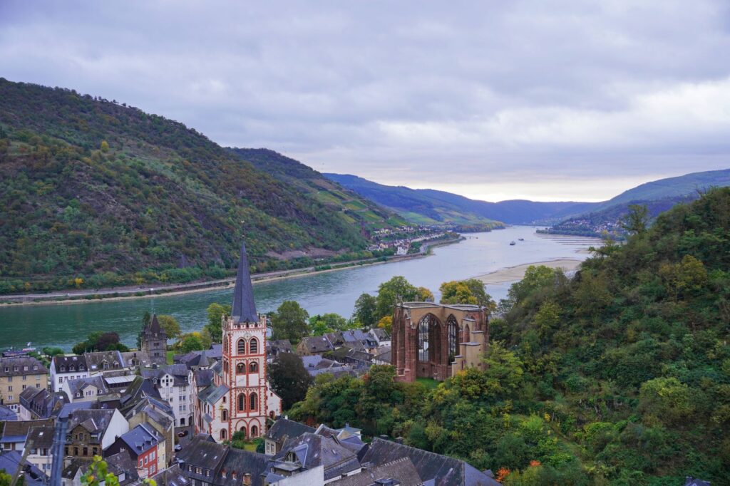
Few stretches concentrate as much symbolic weight and technical difficulty as the Middle Rhine gorge, popularly known as the Loreley Valley. In this sector, situated between Mainz and Koblenz, the river narrows abruptly and is boxed in by steep black slate cliffs. Here, currents reach breakneck speeds and sharp turns force skippers to employ all their seamanship, supported by shore radar stations and optical signals installed along the hillsides.
Historically, this passage was the terror of ancient mariners, a site of frequent shipwrecks fueled by legends of sirens and intoxicating songs. Today, while technology has eliminated much of the physical risk, the spatial challenge remains intact. Barges must rigorously coordinate their crossings via light and sound signal systems prioritizing traffic according to travel direction and cargo classification.
Observing this landscape from vineyard heights reveals a flawless symbiosis between rugged nature and high engineering. Railway tracks run closely hugging both banks, sharing the narrow corridor with roads and the river itself in an uninterrupted choreography of mechanical movement repeating unceasingly century after century.
The Invisible Network: Transfer Ports and Multimodal Logistics
The operational success of the Rhine cannot be explained solely by observing its river stretches; it rests on seamless integration with the continent’s rail and highway networks through a chain of colossal inland ports. Duisburg, located in the Ruhr area, stands as the world’s largest inland port, a logistical monster where endless freight trains, truck fleets, and miniature ocean barges converge.
At these multimodal terminals, cargo transfer is a precise ballet of gantry cranes, conveyor belts, and automated sorting systems. A container departing a maritime port like Rotterdam can be transferred directly onto a river barge, ascend eight hundred kilometers of river, and be deposited at an assembly plant in the heart of Germany without ever touching a single road.
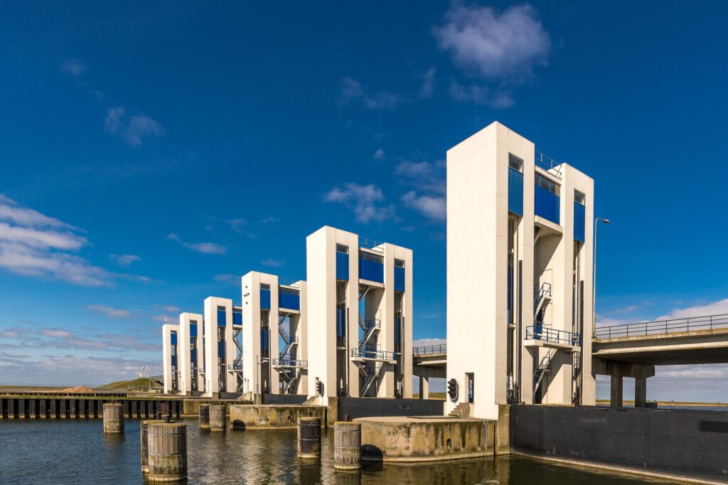
The true revolution of Rhine transport lies not in vessel speed, but in its unsurpassed capacity to integrate massive cargo flows with minimal energy consumption per ton hauled.
This logistics efficiency model drastically reduces carbon dioxide emissions compared to exclusive road transport. However, reliance on water levels forces port operators to maintain permanent contingency plans, diverting cargo toward rail when prolonged droughts preclude full-load navigation.
The Impact of Climate Change: When the Water Recedes
In recent decades, the greatest threat to the Rhine fluvial system is no longer sudden spring flooding, but the prolonged heatwaves and summer droughts associated with global climate disruption. During severe low-water periods, such as those recently recorded, water levels drop to critical thresholds at key points like the Kaub gauge, forcing barges to operate at a fraction of their maximum capacity.
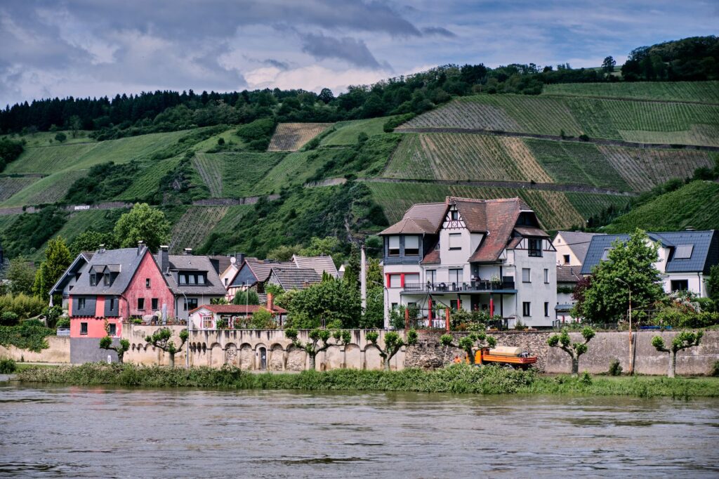
This phenomenon strangles industrial economies located upstream. Oil refineries, steel mills, and chemical plants face raw material rationing, while river freight rates skyrocket due to the need to charter additional vessels to move identical cargo volumes. The climate crisis forces a radical rethinking of alpine reservoir management and demands redesigned vessels prioritizing shallower drafts and wider beams.
Hydraulic engineers currently debate the viability of constructing additional regulatory structures and emergency diversion channels, an ambitious endeavor aimed at shielding commercial navigation against an increasingly volatile and unpredictable weather scenario.
Practical guide
Planning a study trip or photographic journey along the Rhine river corridor requires understanding its logistical geography and prime observation points:
-
Key observation points: The Loreley Rock (St. Goarshausen) offers a perfect overhead perspective of the most dangerous bends and barge traffic. The Deutsches Eck in Koblenz showcases the confluence with the Moselle. Vineyard terraces in Bacharach allow close inspection of human-scale convoy navigation.
When to travel: Spring months (May to June) and early autumn (September to October) combine stable water levels, optimal documentary photography light, and fewer tourist crowds.
How to get around: The best way to follow the navigable course without missing details is utilizing regional rail lines hugging both banks, complemented by local passenger ferries crossing shore to shore.
Visitable port infrastructure: The Duisburg port visitor center (Duisport) and the Iffezheim locks feature public areas explaining technical details of heavy navigation.
Safety precautions: Strictly respect exclusion zones at cargo docks and maintain safe distances from wakes generated by high-tonnage push-boats in narrow channels.
The Silence of the Riverbank at Dusk
As industrial activity winds down and the final cargo convoys switch on their navigation lights over dark waters, the Rhine recovers an almost mythical dimension. Along shores once lined with medieval toll towers, the constant murmur of the current blends with the distant echo of a freight train winding through the gorge. It is in this transitional moment that the traveler realizes this is no ordinary river, but a living creature shaped by the patience of water and the stubbornness of those who learned to navigate its entrails of stone and steam.