
The archipelago of Zanzibar cannot be understood solely through the contemplation of its white-sand beaches or the dense aroma of its clove plantations, but rather through the constant sway of its marine currents and the geometry of its tides. Situated off the eastern coast of Africa, this insular knot relies on an amphibious infrastructure as fragile as it is ancient. Here, transportation is not a mere administrative appendix, but the very pulse connecting Unguja and Pemba to the African mainland and the countless cays dotting the Indian Ocean. Every day, a complex network of lateen-sail vessels, motor ferries, and coastal boats deploys a choreography dictated by the monsoon and the caprices of the Zanzibar Channel.
The backbone of this maritime mobility is rooted in traditional boatbuilding. On the beaches of Nungwi and Kizimkazi, master carpenters continue to shape dhows and mitumbas using techniques passed down through generations, assembling teak and mahogany timbers with barely any printed blueprints, relying solely on visual memory and geometric intuition. These vessels, propelled by the monsoon winds known locally as Kaskazi and Kusi, have plied the exact same trade routes that linked the Swahili coast with the Arabian Peninsula and India since the first millennium. Yet in the twenty-first century, this nautical heritage coexists with an urgent need for logistical modernization to supply a growing population and millions of annual visitors.
The Port Architecture of Stone Town and Tidal Wharves
The main port of Stone Town, guarded by the ocher walls of its old fort and the House of Wonders, constitutes the neuralgic epicenter where all heavy cargo and passenger traffic converges. Operations at this historic pier are governed by an unforgiving natural constraint: the extreme tidal range, which can exceed four meters during spring tide cycles. This drastic variation requires extreme precision in coordinating the loading and unloading of trucks, sacks of flour, motorcycles, and refrigerated containers supplying the archipelago’s markets.
In recent years, port authorities have undertaken various expansions to mitigate chronic congestion at the berths. Nonetheless, the infrastructure continues to operate at the edge of its capacity. The large ferries arriving from Dar es Salaam—the vital commercial artery connecting the island to the mainland in roughly a two-and-a-half-hour crossing—depend on a central berth ramp that suffers intensive wear. When winds whip through the channel or cross-currents complicate maneuvers, the expertise of local captains remains the sole factor preventing catastrophic logistical delays.
Coastal Fleet and Inter-Island Connectivity Toward Pemba
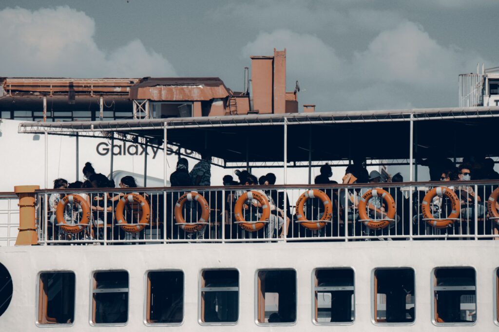
While the route between Unguja and Dar es Salaam represents the archipelago’s primary highway, the maritime link toward Pemba Island and the smaller islets of Tumbatu or Mnemba shapes a much more intimate and challenging coastal maze. The vessels covering this overnight or morning journey northward must negotiate treacherous coral reefs and shifting sandbanks that alter their positions with every storm season.
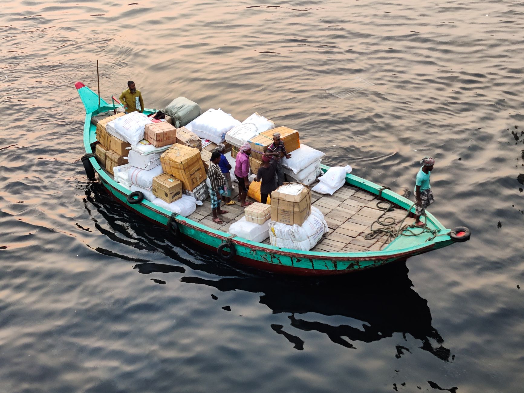
Aboard these passenger vessels, the travel experience unfolds on open decks, where merchants with bales of textiles, returning fishermen with their gear, and adventurous travelers mingle. Cargo stowage is performed artisanally, stacking fuel drums, crates of fresh fruit, and construction materials in tight spaces. Maritime safety regulations have undergone significantly stricter scrutiny following historical episodes of overloading, prompting the Zanzibar Maritime Authority to implement more rigorous weighing controls before any vessel leaves the dock.
Tidal Engineering in Minor Channels and Mangroves
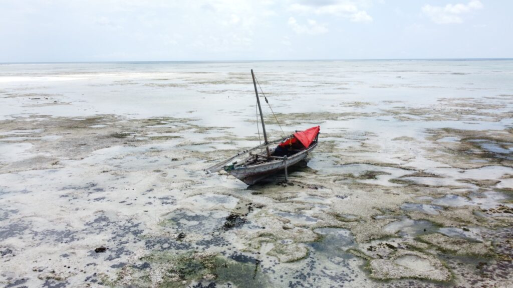
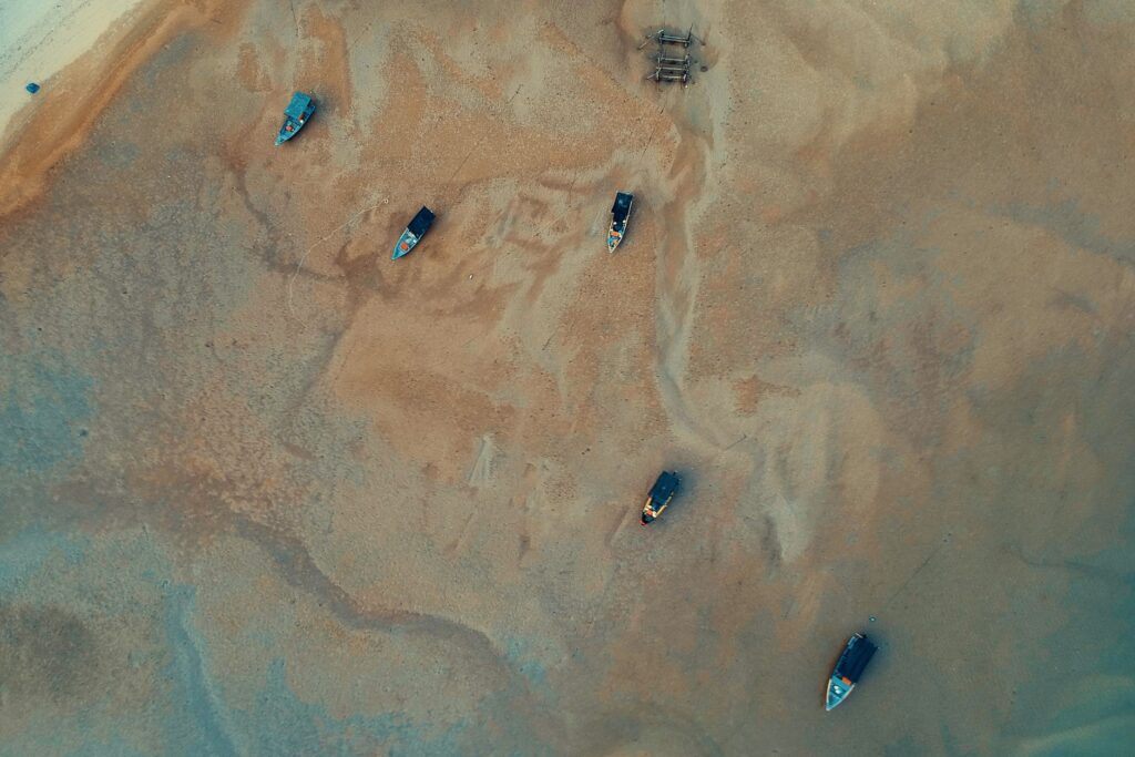
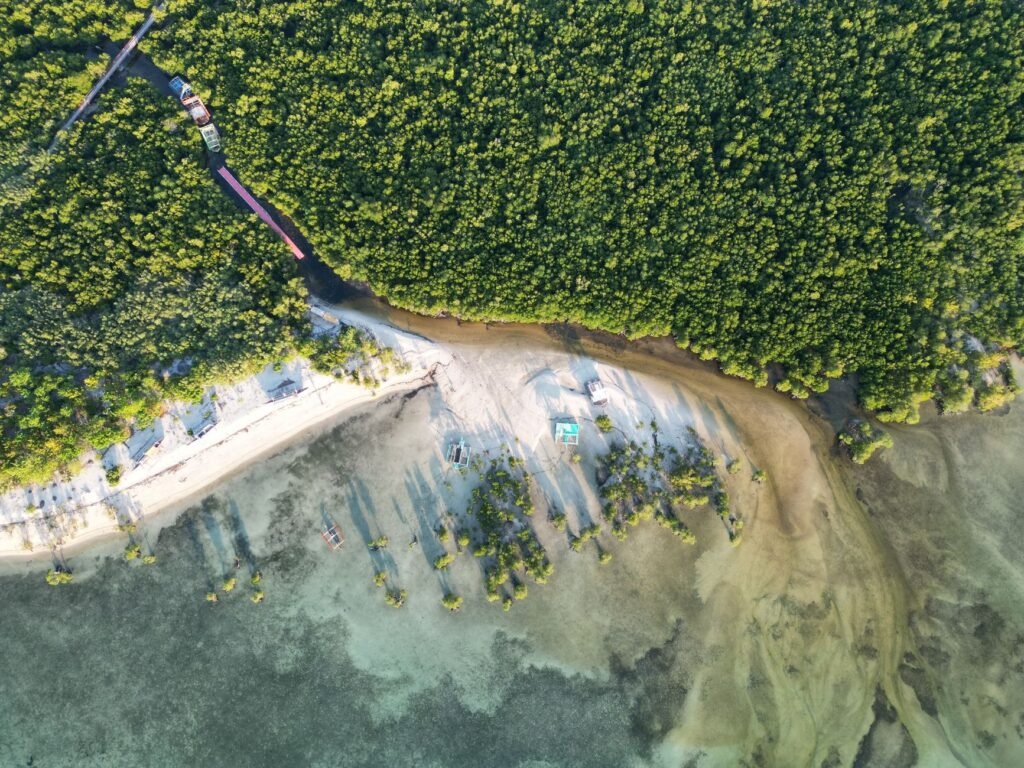
Beyond formalized trade routes, Zanzibar’s amphibious connectivity relies on a capillary network of tidal creeks and mangrove estuaries operated by small outboard-powered boats or pole-driven skiffs. In locations such as Chwaka Bay or Pemba’s coastal communities, access to fishing settlements is completely severed during low tide, turning piers into dry mud walkways where boats sit stranded on their keels.
This cyclical dependency has shaped the daily lives of local communities. Fishermen and seaweed farmers have synchronized their biological clocks with tide tables, knowing precisely when to set sail to catch the rising tide and when to stay ashore mending nets or tending fish traps. Infrastructure at these small piers is generally limited to wooden boardwalks raised on mangrove stiles, whose durability is constantly threatened by marine borers and the corrosive strength of salt spray.
The Impact of Mass Tourism on Traditional Navigation Routes
The surge of international tourism has introduced unprecedented pressure on Zanzibar’s nautical transport infrastructure. While traditional dhows were once dedicated exclusively to fishing and coastal cargo transport, today a significant portion of this fleet has been retrofitted to offer diving excursions, sunset cruises, and dolphin-watching tours in Kizimkazi.
This economic diversification has generated tensions between modern tour operators and local fishermen cooperatives, who demand protected beach spaces and a more equitable distribution of navigation rights. Likewise, the proliferation of high-powered speedboats for exclusive tourist transfers has increased collision risks near coral reefs and altered the migratory routes of local marine fauna, compelling the Ministry of Blue Economy to rethink the zoning of jurisdictional waters.
The sea in Zanzibar is not a static route on a map; it is a living organism demanding absolute respect for its rhythms, where the timber of the dhows and the skill of their captains continue to write the story of an amphibious people.
Sustainability Challenges and Energy Transition in the Insular Fleet
Faced with an almost absolute reliance on fossil fuels to power its fleet of ferries and motorized skiffs, Zanzibar confronts the unavoidable challenge of energy transition within its maritime sector. High diesel import costs and growing concern over hydrocarbon pollution in coral reefs have stimulated pilot projects aimed at electrifying smaller vessels and adopting low-consumption auxiliary engines.

Various international organizations currently collaborate with the insular government to design hybrid dhow prototypes combining traditional wind propulsion with solar panels and lightweight storage batteries. Although large-scale adoption of these technologies still encounters financial barriers and technical maintenance hurdles, the debate over the channel’s ecological future is firmly on the table, seeking to preserve the aesthetics and functionality defining the archipelago’s visual identity.
Practical guide
Planning a journey or a navigation route through the Zanzibar archipelago requires understanding local transport protocols and the territory’s logistical peculiarities.
- How to get there: Abeid Amani Karume International Airport (ZNZ) receives regular flights from the African mainland and major international hubs. To connect with the Stone Town port, official taxis operate under regulated fixed fares.
- Ferries to Dar es Salaam: Companies such as Azam Marine operate multiple daily frequencies of high-speed catamarans. Advance booking during high season is essential, and passengers must arrive at the terminal at least ninety minutes prior to departure for immigration and baggage screening.
- Connection Between Unguja and Pemba: Inter-island ferries operate with lower frequency and depend strictly on channel weather conditions. Checking advisories issued by the Zanzibar Maritime Authority prior to purchasing tickets is strongly recommended.
- Chartering Dhows: For excursions to minor cays such as Mnemba, hire exclusively certified operators through authorized local associations in Nungwi or Stone Town to ensure safety standards on board.
- Best Time to Navigate: The Kaskazi wind months (November through March) offer calmer seas in the north, whereas the Kusi monsoon (June through October) brings stronger winds and frequent squalls, altering smaller vessel schedules.
Traveling along the nautical routes of Zanzibar means accepting that time in the Indian Ocean is not measured in geared minutes, but in the patience of the wind and the relentless heartbeat of the tides.