
The Liquid Artery of West Africa
The Gambia River is not merely a body of water winding through the muddy floodplains of West Africa; it is the invisible backbone supporting the territorial sovereignty and daily life of an entire nation. Navigating its turbid waters and tidal marshes means stepping into an amphibious realm where the boundary between solid ground and estuary dissolves with the relentless rhythm of the Atlantic tides. From the river mouth in Banjul to the remote fluvial outposts of Basse Santa Su, entire communities gravitate around the arrival and departure of ferries and passenger vessels defying the whims of the current.
For centuries, this liquid route has served as the great human connector for a country geographically fragmented by the arbitrary colonial borders surrounding it. Far from being a mere natural obstacle, the river acts as a democratic pathway where farmers, cross-border traders, and travelers share the rusted iron decks of historic ships. Comprehending this river transport system requires shedding the metrics of contemporary speed and surrendering to the unhurried yet strict schedules of tropical navigation.
The Engineering of the Banjul-Barra Ferry
The nerve center of this amphibious network lies in the narrow estuary where the river meets the Atlantic Ocean, linking the capital, Banjul, with the northern settlement of Barra. This route is the true economic pulse of the country, a critical corridor traversed daily by thousands of people, freight trucks, and perishable goods. The vessels operating on this stretch, managed by the Gambia Port Authority, bear a colossal operational pressure under often adverse weather conditions.
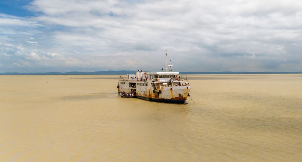
The technical infrastructure of these ferries combines reinforced steel hulls designed to withstand heavy siltation with hydraulic ramps adapted to shifting tide levels. However, the true complexity lies not only in naval mechanics but in the logistical choreography of boarding. Overloaded peanut trucks, street vendors balancing goods on their heads, and passengers searching for a spot on wooden benches converge in a daily ballet of pinpoint precision and infinite patience.
The Forgotten Waypoints of the Middle Course
As travelers journey upstream, leaving behind the saline pull of the Atlantic to enter a landscape of mangroves and wooded savanna, the rhythm of navigation changes radically. Large barges give way to shallower draft vessels and legendary riverboats connecting isolated riverside communities. In enclaves such as Kerewan, Kaur, and Georgetown—now known as Janjanbureh—the local dock is not merely a transport infrastructure, but the absolute center of social and commercial life.
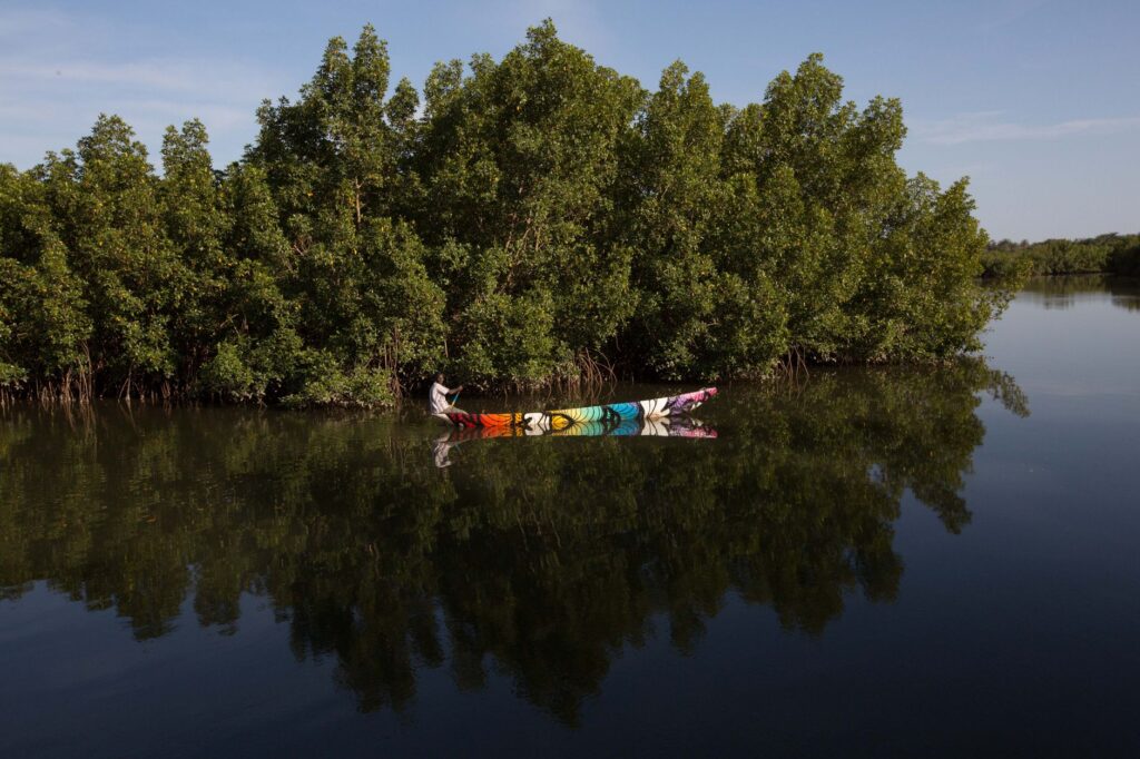
At these intermediate stops, the unloading of rice sacks, fuel drums, and spare parts transforms the pier into a bustling floating market. Community women wait with woven baskets while deck officers coordinate mooring maneuvers using hemp ropes worn thin by use. It is in this middle course that amphibious sovereignty reveals its most fragile and essential face, supplying the lack of paved roads in the most remote rural areas of the country’s northern and southern tiers.
Amphibious Sovereignty and Cross-Border Trade
The Gambia River has historically functioned as a free-flowing commercial corridor defying land borders drawn in European offices. Passenger ships do not merely transport people; they are the logistical platform underpinning informal and large-scale trade between Gambia and neighboring Senegal. The exchange of agricultural produce, imported manufactured goods, and livestock finds its most efficient distribution route upon the decks of these vessels.
This commercial dynamic generates a unique circular economy in river ports. Captains and deckhands frequently act as depositaries of community trust, entrusted with carrying messages, remittances, and parcels from one bank to another with no guarantee other than their word. This network of mutual trust is the true connective tissue keeping entire families united across arbitrary borders, proving that river infrastructure is also a space for shared identity.

The Logistical Challenges of Naval Maintenance
Maintaining an operational fleet in a tropical river environment is a daunting technical challenge. The accumulation of silt in navigation channels, saline corrosion at the river mouth, and severe mechanical wear on engines demand constant upkeep programs that rarely enjoy ideal resources. Improvised dry docks and local machine shops become centers of technical resilience where workers extend the operational lifespan of parts and structures through sheer ingenuity and artisanal repairs.
Added to this are seasonal fluctuations in water volume, requiring route adjustments and modified draft limits according to the time of year. During the dry season, hidden sandbars turn the journey into a test of skill for the most experienced pilots, who must read currents and water color with the precision of ancient navigators. A lack of massive modernization investments stands in stark contrast to the resilience of the human crews operating these vessels day after day.
Climate Change Impacts on Freshwater Routes
In recent decades, the delicate ecological and hydrological balance of the Gambia River has begun showing clear signs of alteration due to climate variability and human pressure on upper watersheds. Salinity intrusion advances progressively further upstream during the dry months, altering mangrove ecosystems and impacting traditional rice farming in floodplains. This phenomenon not only harms biodiversity but modifies navigational conditions and freshwater availability for riverside communities.
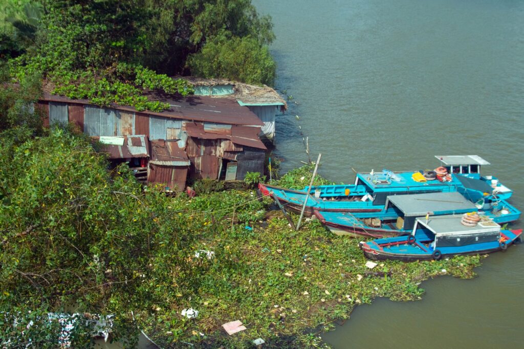
For the river transport system, these changes represent a silent yet constant threat. Boat operators must contend with increasingly silted channels and unpredictable rainfall, directly impacting journey safety and schedule reliability. Water resource management experts warn that preserving navigability demands a coordinated regional strategy to protect the watershed and ensure the viability of this vital artery for future generations.
Practical guide
Planning a journey across the Gambia River transport system requires understanding that Western punctuality yields to tidal cadence and local logistics. The best season for exploring the middle course by boat is during the dry months, between November and May, when visibility and water levels are most stable. For the crossing between Banjul and Barra, travelers should avoid morning and evening rush hours, when passenger and vehicle congestion peaks.
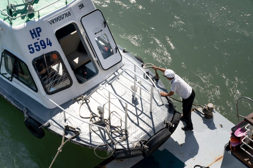
Regarding documentation and equipment, carrying cash in local currency—the dalasi—is essential, as secondary docks lack electronic payment systems. Lightweight cotton clothing, adequate sun protection, insect repellent, and sufficient bottled water for long trips are strongly advised. Tickets for interior passenger boats are purchased directly at port ticket booths on the day of departure, and arriving several hours early is recommended to secure deck space and oversee bulky luggage loading.
The Eternal Return to the Janjanbureh Pier
At dusk, when the golden light of the savanna spills over the calm waters of the Gambia River in Janjanbureh, the pier regains a solemn calm that contrasts with the daytime hustle. It is at this exact moment that the true depth of fluvial travel reveals its human dimensions. Sitting on weathered wooden planks, one realizes these boats are not mere vehicles moving from point to point, but silent custodians of the collective memory of an amphibious people.
The gentle lap of water against the hull of an anchored barge marks the tempo of an existence inextricably linked to the rhythm of the tide. Far from mass-market tourism routes, navigating this ancestral waterway offers a unique opportunity to witness the daily dignity of a territory that has made water its home. In the distant flickering of riverside fishermen’s lanterns lies the certainty that the Gambia River will continue flowing, unaltered and sovereign, as the eternal heartbeat of the African continent.