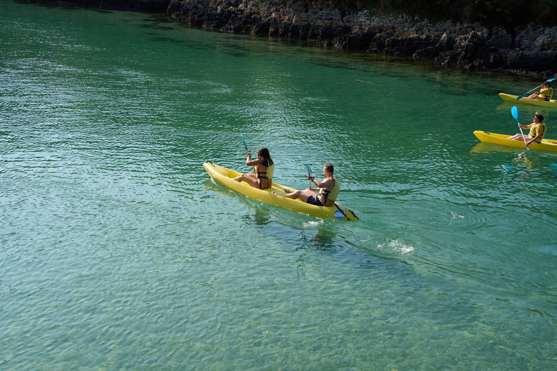
The swells of the Norwegian Sea crash against the basalt buttresses with a muffled rhythm, reminding the navigator that the coastline is not a passive refuge, but a shifting frontier. In the Lofoten archipelago, where black granite walls plunge directly into channels of icy water, sea kayak navigation represents one of the most demanding coastal expeditions on the European continent. Here, at the latitude of the Arctic Circle, planning a nautical journey requires cartographic rigor, millimeter-level reading of tide tables, and absolute mastery of cold-water self-rescue techniques.
Unlike continental routes where the terrain offers constant terrestrial alternatives, the insular labyrinth of Lofoten imposes a radical dependence on the marine environment. Each narrow channel, known locally as a fjorden or sund, acts as a natural hydrodynamic accelerator. When millions of cubic meters of oceanic water attempt to force their way through narrow passes during tidal shifts, they generate formidable currents that can exceed six knots, creating whirlpools and standing waves capable of destabilizing even the heaviest expedition watercraft.
The Geography of Glacial Chaos and Nautical Cartography
Understanding the underwater morphology of Lofoten is the primary safety requirement for any navigator. The fjords of this archipelago are not ordinary river valleys, but depressions carved out by immense tongues of ice during Quaternary glaciations. These submerged channels present abrupt bathymetric profiles, with shallow sills at their mouths and deep trenches in their interior. This underwater topography interacts directly with the Atlantic tide, generating a complex hydrological regime that defies simple visual intuition.
The use of updated nautical charts from the Norwegian Hydrographic Service (Kartverket) is not an optional recommendation, but the operational core of the expedition. Semidiurnal tides in the region experience amplitudes of up to three meters, radically transforming the appearance of landing beaches within hours. A sandy shore that offers a welcoming terrace of fine gravel for pitching geodesic domes at noon may be completely submerged or exposed to unprotected cross-seas by midnight.
The Arctic sea does not negotiate deadlines or forgive the arrogance of informal calculations; it demands that every route be plotted on paper with the same precision used to adjust a watchmaker’s compass.
To navigate this scenario, expedition members must plan their routing windows by taking advantage of slack water hours—those brief moments of hydrostatic equilibrium when the tide turns and the current relents. Ignoring this factor turns a routine transit between two islands into an exhausting struggle against the water, increasing metabolic expenditure and the risk of hypothermia from premature fatigue.
Equipment and Watercraft Selection for the North Atlantic
The choice of watercraft defines the margin of safety against the unexpected. Sea kayaks used in Lofoten must meet very specific structural standards. High-resistance fiberglass or composite hulls with pronounced keels, multiple watertight bulkheads, and complete perimeter life lines are prioritized to facilitate assisted rescue maneuvers in disorganized seas.
Cargo volume is another critical factor. A self-supported seven-day expedition requires carrying dry bags with liquid fuel cooking systems, high-calorie freeze-dried rations, spare dry suits, satellite communication systems, and paper charts protected against ambient humidity. The distribution of these weights within the hatches must be calculated down to the millimeter to maintain a low center of gravity and ensure the kayak responds predictably to descending katabatic winds.
Arctic Meteorology: Interpreting the Barometer on the Coast of Cliffs
The climate of Lofoten is governed by the convergence of polar fronts and the moderating yet unstable influence of the Gulf Stream. This duality generates a volatile atmosphere where weather reports issued by the Norwegian Meteorological Institute (Met.no) must be consulted obsessively. A radiantly clear blue sky can transform within twenty minutes into a squall with hurricane-force gusts descending from the peaks of the so-called Lofoten Wall.
Navigators must learn to recognize local signs of atmospheric change: the formation of lenticular clouds over the peak of Reinebringen, sudden shifts in surface wind direction, or abrupt fluctuations in the aneroid barometer. In the face of an impending storm, the absolute priority is securing a protected landing spot before visibility drops to zero due to sea fog or intense precipitation.
Coastal Camping Strategies and the Challenge of Vertical Terrain
Finding a suitable site to pitch camp in Lofoten tests the patience of any expeditionary. The islands are dominated by vertical walls of metamorphic rock, leaving extremely narrow shoreline strips. Flat areas frequently coincide with damp pastures used by local sheep farming or historic Rorbu fishing settlements, where private property or the fragility of dune ecosystems demands rigorous respect for the environment.
Camp setup must always take place above the maximum high-tide line, paying special attention to the direction of dominant nocturnal winds. Gusty winds spilling down from the mountains can collapse tent poles if they are not anchored with heavy stones and reinforced storm guy lines. The management of human and organic waste is strict: due to the slow rate of decomposition in arctic latitudes, all non-compostable refuse must be transported in the kayak hatches to authorized disposal points in major ports.
The Endless Light: Navigating Under the Midnight Sun
One of the most fascinating yet disorienting aspects of a summer expedition in Lofoten is the absence of nighttime darkness. Between late May and mid-July, the sun remains above the horizon twenty-four hours a day, bathing the landscape in a palette of golden and mauve hues that disrupts traditional circadian rhythms.
This perpetual light offers an incalculable tactical advantage: it allows navigation legs to be scheduled during the early morning hours, when the wind typically dies down and commercial fishing and ferry traffic is at a minimum. However, accumulated fatigue can take its toll if the brain does not receive biological signals for rest. Experienced guides enforce strict sleep discipline, using opaque eye masks and establishing watch shifts when anchorage conditions require it.
The compass points to the magnetic North, but it is the traveler’s inner compass that must recalibrate to accept that time in the Arctic is measured not in days, but in tides.
Practical guide
How to get there: The main access to the Lofoten archipelago is via Svolvær Airport (SVJ) or Leknes (LJK) through connections from Oslo via Widerøe. Another frequent alternative is flying into Bodø Airport (BOO) and taking the passenger or vehicle ferry operated by Torghatten Nord to Svolvær or Moskenes.
Best time to visit: The optimal window for sea kayak navigation spans from early June to late August, a period guaranteeing moderate temperatures and the midnight sun phenomenon. Autumn and winter months should be avoided due to prolonged darkness, severe Atlantic storms, and sub-zero temperatures.
Permits and regulations: Norway operates under the right of public access to nature (Allemannsretten), allowing respectful camping on uncultivated land for a maximum stay of two nights in the same spot. Lighting fires in forested areas or on rocks between April 15 and September 15 is strictly prohibited to prevent forest fires.
Safety and communications: Carrying a marine VHF radio system to tune into coastal weather reports on local commercial channels is mandatory, alongside a satellite communication device (PLB or inReach). The use of dry suits and certified helmets is imperative during all embarkation, navigation, and landing maneuvers.
When the journey draws to a close and the kayaks are scrubbed free of salt on the gravel of the departure port, the body experiences a deep attunement with the rhythm of cold water. Far from digital noise and mainland urgencies, the Lofoten archipelago leaves an indelible mark: the certainty that true luxury in contemporary travel lies in knowing how to read the silent signals of the ocean and accepting the sovereign authority of nature.