
The Shifting Geography of an Atlantic Archipelago
In the Gulf of Guinea, off the coast of Guinea-Bissau, the Bijagós Archipelago unfolds as a cluster of nearly eighty islands and islets, of which barely twenty are permanently inhabited. This insular territory, designated a UNESCO Biosphere Reserve, does not conform to the logics of modern terrestrial connectivity. Here, paved roads, bridges, and conventional airstrips are virtually nonexistent across the vast majority of its landforms. The sovereignty of the territory belongs entirely to the water, to an intricate network of muddy channels, impenetrable mangroves, and oceanic currents that dictate the daily pulse of its inhabitants. Understanding mobility in the Bijagós requires abandoning Western parameters of transportation and stepping into a millennia-old amphibious culture where distance is measured not in kilometers, but in tidal cycles and wind directions.
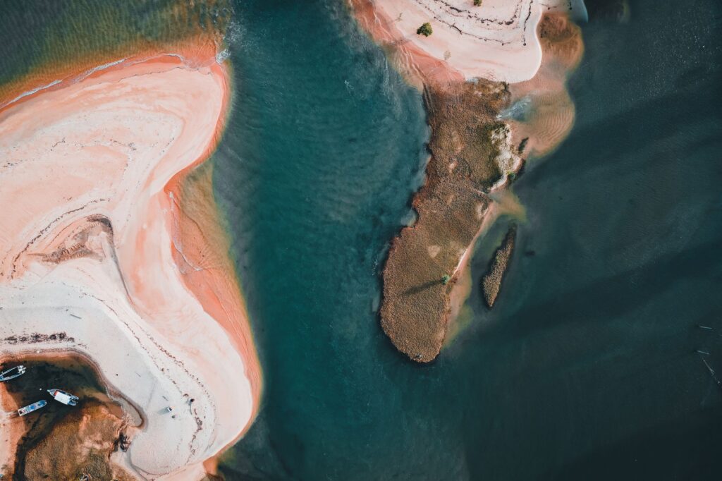
The topography of the archipelago is sculpted by the constant action of the Grande de Buba and Geba rivers, whose discharges deposit sediments that form extensive submerged sandbanks. These shallow waters turn navigation into a discipline of extreme precision, where empirical knowledge accumulated over generations outweighs any digital cartographic technology. Tidal fluctuations in this region of the Western Atlantic are notable, occasionally reaching differences of up to four meters between high and low tide. This phenomenon radically transforms the landscape every six hours: channels navigable for vessels of a certain draft in the morning turn by afternoon into labyrinths of dry mud and oyster beds exposed to the tropical sun.
The Architecture and Symbolism of the Bijagó Canoe
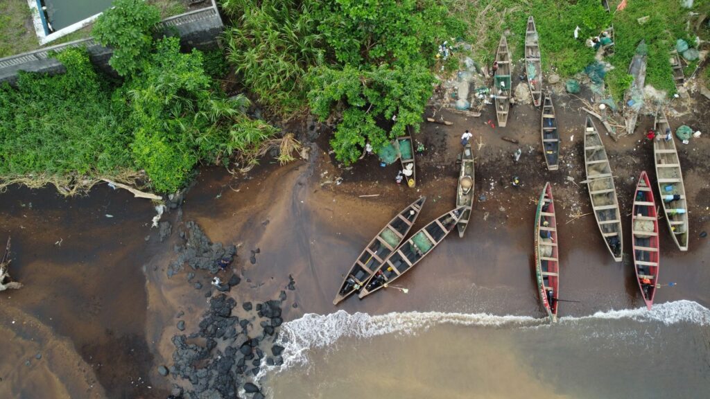
The axis upon which all life and economy in the archipelago pivot is the traditional dugout canoe carved from a single trunk of ceiba or African mahogany. These vessels, constructed by master boatwrights in specific communities such as Bubaque and Orango islands, are true masterpieces of naval engineering adapted to the demands of the marine environment. The manufacturing process begins with the rigorous selection of a tree, an act that traditionally requires ceremonies of respect toward the spirits of the forest. Once felled, the trunk is hollowed out using manual tools and exposed to controlled fire to widen its beam and grant the hull the hydrodynamic qualities necessary to slice through both the open ocean swell and the narrow currents of the estuaries.
Unlike industrial watercraft, the Bijagó canoe is characterized by structural flexibility, allowing it to absorb the impacts of heavy seas without fracturing. Propulsion combines long wooden paddles with makeshift lateen sails when the wind blows favorably, although outboard motors have been progressively introduced in recent decades. Nonetheless, fossil fuel remains scarce and expensive in the outer islands, making human muscle and the mastery of currents the predominant methods of displacement. Each clan owns its vessels, which not only transport essential people and goods such as rice, cashews, and dried fish, but also act as symbols of social cohesion and status within the complex matrilineal hierarchies that define Bijagó society.
The canoe in the Bijagós is not merely a vehicle for transportation; it is the umbilical cord keeping communities separated by miles of mangrove and open sea bound together, a living artifact where wood retains the forest memory to defy the fury of the tide.
The Invisible Routes of Trade and Subsistence
The transport network that vertebrates the archipelago operates under an invisible calendar dictated strictly by lunar phases and monsoon regimes. Commercial routes connect the main port of Bissau on the mainland with the nursery islands of the archipelago such as Bubaque, Bolama, and Caravela. These voyages, lasting anywhere from three to ten hours depending on the vessel and weather conditions, represent the sole means of supply for thousands of people. These routes converge local merchants, artisanal fishermen, and a handful of scientific researchers studying the region’s rich marine biodiversity, home to unique populations of saltwater-dwelling marine hippopotamuses.
The logistics of freight transport present colossal challenges. The islands’ primary export product is cashew nuts, the harvest of which coincides with the onset of the dry season. During these months, canoes are packed to dangerous limits with sacks of nuts that must be transported from interior villages to embarkation points using wheelbarrows and red dirt paths. The lack of formal port infrastructure across most islands forces loading and unloading operations to take place directly on open beaches, with porters wading waist-deep through water while battling the undertake and rising tide. This titanic effort demonstrates the resilience of a logistical system surviving on the margins of major international trade routes.
The Institutional Challenge and the Fragility of Connectivity
Administratively and in terms of public services, the isolation of the Bijagós represents a major challenge for the state of Guinea-Bissau. The scarcity of regular, reliable public ferry fleets leaves insular communities in a state of chronic vulnerability to medical and educational emergencies. When a resident of a remote island like Uno or Canhabaque suffers a severe medical complication, the transfer to the reference hospital in Bissau becomes a race against time where the availability of a motorized canoe and fuel can mean the difference between life and death. Government and international cooperation initiatives to establish regular ferry lines have historically collided with severe maintenance problems, lack of spare parts, and unsustainable operating costs within a context of extreme structural poverty.
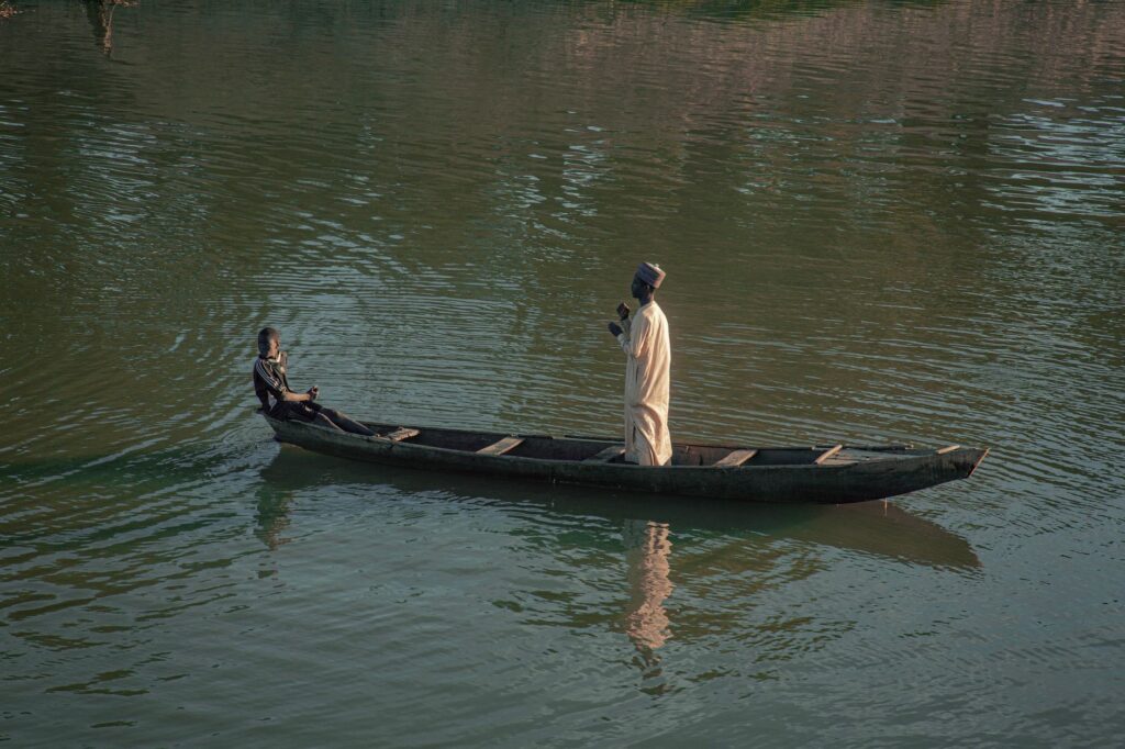
This deficiency in institutional transport has fostered the growth of a highly risky informal passenger transport sector. Overloaded boats lacking basic safety elements such as life jackets or radio communication systems frequently cross treacherous channels where sudden squalls can capsize a canoe within minutes. Local authorities and community organizations attempt to implement safety regulations, yet the population’s imperative need for mobility constantly clashes with the scarcity of viable alternatives. Thus, connectivity across the archipelago precariously oscillates between the bravery of traditional navigators and the urgency of long-overdue modernization.
The Impact of Climate Change on Ancestral Routes
In recent years, the transport and subsistence system of the Bijagós has faced an unprecedented threat: the alteration of global climate patterns and sea-level rise. Coastal communities on islands like Rubane and Sogé watch with growing concern as marine erosion devours protective mangroves and reshapes navigable channels. Winds have grown more erratic, and tropical storms, more violent and unpredictable, shortening the temporal window during which small vessels can fish or travel safely between islands.
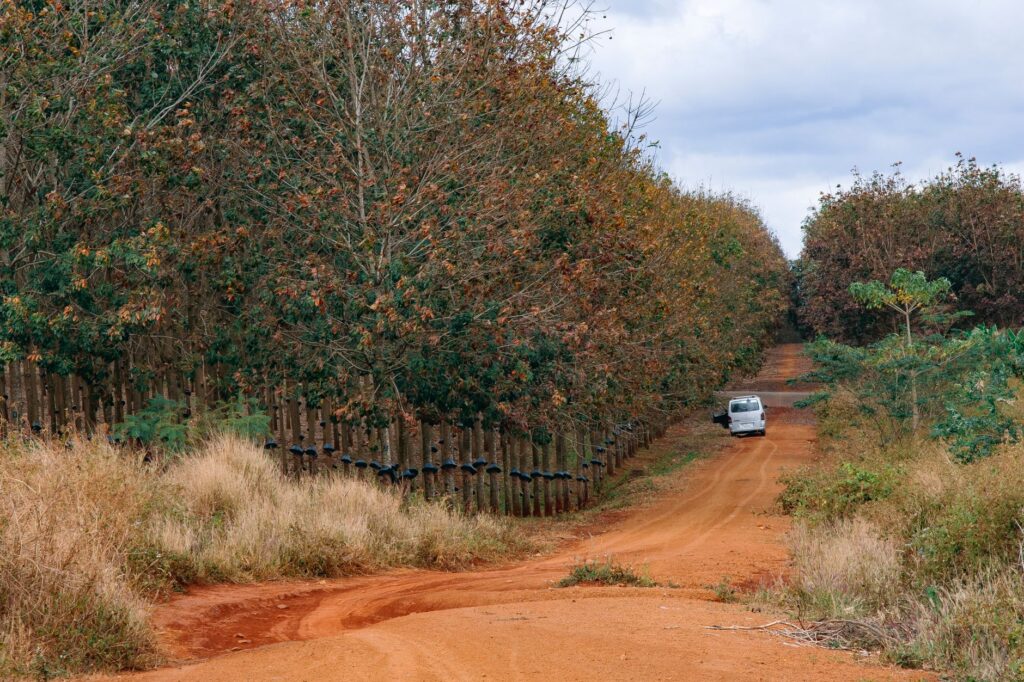
This phenomenon not only affects navigational safety but deeply alters the local ecosystems upon which the transport economy depends. Sandbars shift unpredictably, turning traditional routes into death traps for canoes lacking updated depth soundings. Community elders, guardians of ancestral nautical knowledge, warn that traditional sky signs and marine fauna behavior are no longer infallible for predicting weather. The need to adapt transport infrastructure and equip navigators with accessible geolocation tools has become an urgent priority to safeguard the integrity of this fragile insular territory.
Expedition Tourism and Pressure on the Insular Environment
Countering traditional isolation, the archipelago has begun drawing a specific sector of international travelers interested in adventure ecotourism and ethnography. Access to this remote outpost typically occurs via charter yachts or small expedition vessels departing from the continental capital, introducing a complex economic dynamic into communities that lived entirely detached from mass tourism until a few decades ago. This influx of visitors raises a profound debate regarding the sustainability of transport and cultural preservation.
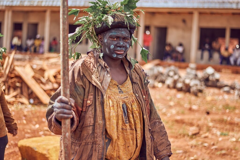
The arrival of tourists demands improved local connections, which in turn increases high-speed boat traffic in ecologically sensitive zones where protected seabirds nest and sea turtles inhabit. Conservation authorities stress the need to strictly regulate tourist routes and establish exclusion zones to prevent the degradation of marine habitats. For local operators, the challenge lies in integrating tourism within existing community structures, ensuring that economic benefits from tourist mobility directly support school maintenance, health clinics, and the preservation of artisanal canoes themselves.
Traveling through the channels of the Bijagós means accepting a truce with modern haste, a reminder that in certain remote corners of the planet, mobility remains an act of respectful communion with the elemental forces of ocean and wind.
Practical guide
- How to get there: The main entry point to Guinea-Bissau is Osvaldo Vieira International Airport in Bissau. From the capital, access to the Bijagós Archipelago is achieved via private speedboats, expedition sailboats, or irregular public ferries connecting to Bubaque Island.
- Best time to visit: The dry season, spanning from November to May, offers the most stable and safe meteorological conditions for navigation between islands, featuring calmer seas and lower incidence of tropical storms.
- Documentation and visas: A passport valid for at least six months and an entry visa are required, which must be arranged in advance through Guinea-Bissau embassies or authorized consular channels before undertaking the journey.
- Accommodation: Hotel options are severely limited and concentrated mainly in Bubaque and a few smaller islands, where small eco-lodges operate in partnership with local communities, focusing on sustainable tourism.
- Health and precautions: A yellow fever vaccination certificate is mandatory. Malaria prophylaxis is strongly recommended, alongside strict precautions regarding bottled water consumption and thoroughly cooked food due to limited advanced healthcare infrastructure on the islands.
- Cultural norms: The Bijagós possess a highly hierarchical and matrilineal social organization with strict traditional rules (roles of elder councils and sacred spaces or balantas). Engaging authorized local guides and seeking permission before photographing individuals or sacred sites is essential.
- Currency and payments: The official currency is the West African CFA franc (XOF). Operating ATMs and credit card acceptance are virtually nonexistent across the archipelago, making it imperative to travel with sufficient local cash currency.
The Saline Memory of the Return
As the sun begins to dip over the Atlantic horizon, staining the channel waters a deep copper hue, activity on the shores of the Bijagós does not cease; rather, it shifts into a silent liturgy. The silhouettes of the canoes, laden with the day’s final bundles and outlined against the backdrop of mangroves, slowly return to sandy shores after hours battling opposing tides. In this suspended instant, the apparent hostility of insular isolation transforms into a profound sense of belonging. The navigators, their hands calloused by the constant friction of wood and sails, master a millennia-old art defying the transience of the modern world. Enduring the currents of this Atlantic labyrinth is not merely a matter of logistics or physical displacement; it is the irrefutable proof that a people’s sovereignty can endure upon the fragile yet invincible wood of a dugout canoe, swayed eternally by the tireless pulse of tide and salt.