
The Huayhuash Mountain Range, located in the southern sector of the Western Cordillera of the Peruvian Andes, represents one of the most demanding and rewarding challenges for high-altitude trekking on the American continent. Unlike more crowded circuits such as the Inca Trail, Huayhuash imposes absolute isolation. Here, expeditioners venture into a closed circuit of approximately one hundred and thirty kilometers that circumnavigates a compact massif of fourteen peaks exceeding six thousand meters in altitude, dominated by the imposing Yerupajá. The geological nature of this territory, characterized by vertical granite walls, hanging glaciers, and turquoise glacial lakes fed by melting snow, demands meticulous logistical planning where the margin for error is minimal.
Approaching this traverse is not a simple exercise in walking progression; it involves a profound understanding of high-altitude acclimatization and the meteorological dynamics of central Peru’s highlands. The route runs almost entirely above three thousand eight hundred meters above sea level, crossing exposed mountain passes that frequently exceed the five-thousand-meter mark. The thin air, extreme ultraviolet radiation, and the very real possibility of sudden storms during the wet season require structuring each day with military precision. Every step over loose scree and glacial moraine tests both physical endurance and self-management capacity in remote environments where emergency medical assistance is virtually nonexistent.
The Geography of Cold and Water: Anatomy of an Extreme Circuit
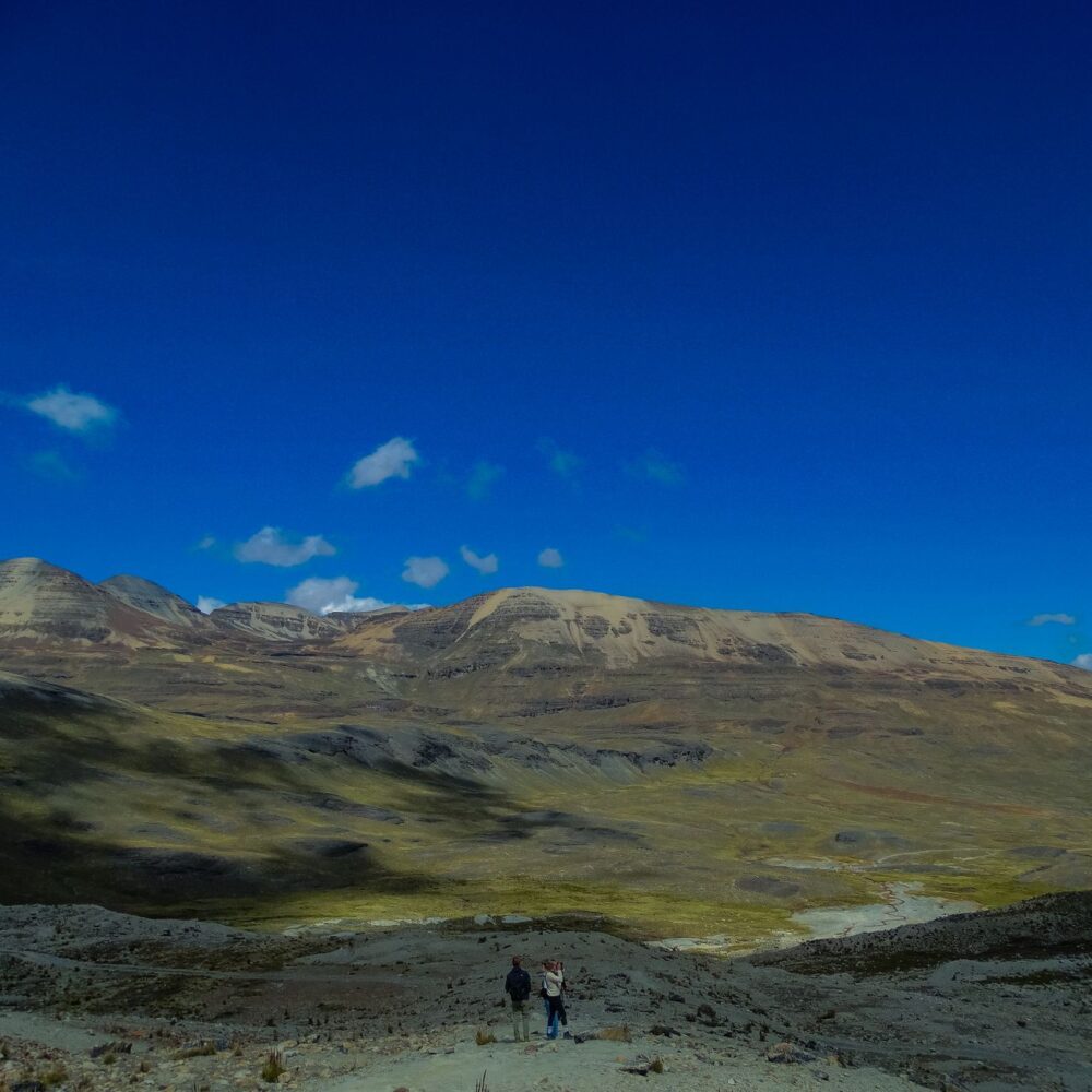
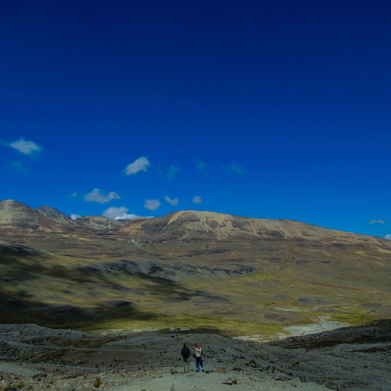
The relief of Huayhuash is the direct result of intense tectonic and glacial processes that have carved U-shaped valleys deeply wedged between walls of rock and ice. The classic route traditionally begins in the mining village of Llamac, although approach variants allow starting the march from other points such as Matacancha. From the first day, the terrain ascends steadily, leaving behind the queñual forests and high-Andean grasslands known as ichu to enter the high mountains, a domain where vascular vegetation practically disappears and the chromatic palette is reduced to the grey of rock, the white of snowfields, and the cobalt blue of glacial lakes such as Carhuacocha and Jahuacocha.
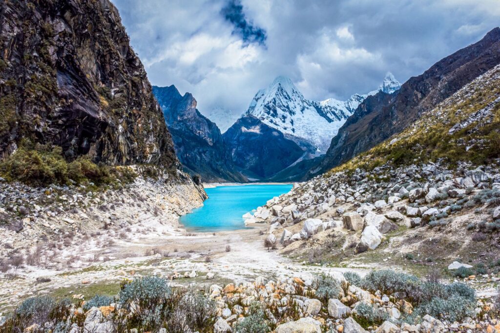
Water management and campsite selection constitute two fundamental pillars for expedition success. Although the abundance of streams and springs is notable, runoff from melting ice can carry fine mineral sediments or be exposed to organic contamination derived from the horses and cattle that graze in the lower valleys. Therefore, the rigorous use of absolute membrane filters and chemical purification systems is non-negotiable. Campsites, strategically situated along the shores of water mirrors or in natural shelters at the foot of large walls, offer relative protection against katabatic winds descending from the glaciers at dusk.
The silence of the puna is not an acoustic vacuum, but the sum of all primordial sounds: the ancient cracking of ice fracturing at high altitude and the constant whisper of the wind against bare stone.
Thermal stability is another critical factor. Daytime temperatures, under a clear sky in the dry season, can be benign or even warm due to intense solar radiation above four thousand meters; however, as soon as the sun drops behind the peaks, thermometers plummet drastically well below freezing point. This daily thermal oscillation subjects both camping equipment and the human organism to severe stress, increasing the risk of hypothermia without high-performance thermal insulation layers and a resting system composed of down sleeping bags with certified comfort ratings for negative extreme temperatures.
Acclimatization and Physiology in the Andean High Mountains
One of the most frequent errors committed by mountaineers coming from low latitudes is underestimating the speed at which altitude is gained in the Ancash region. The city of Huaraz, situated at three thousand ninety meters, functions as the natural logistical center for acclimatization, but spending a couple of days there proves insufficient to prepare the body for sustained efforts demanded by Huayhuash passes. It is essential to design a program of progressive single-day ascents to higher elevations, such as Laguna Churup or Pastoruri, allowing erythropoiesis—the increase in red blood cell mass driven by erythropoietin—to take effect before carrying a full backpack on the main circuit.
Symptoms of acute mountain sickness, ranging from persistent headaches and insomnia to nausea and extreme fatigue, must be monitored with absolute personal and group honesty. On a traverse where evacuation points to passable roads require full days of marching or rescue on horseback, ignoring early signs of pulmonary or cerebral edema can trigger a critical situation. Constant hydration, caloric intake rich in progressively assimilated carbohydrates, and strict respect for individual biological rhythms are tools as important as crampons or topographic maps in any rigorous expeditioner’s backpack.
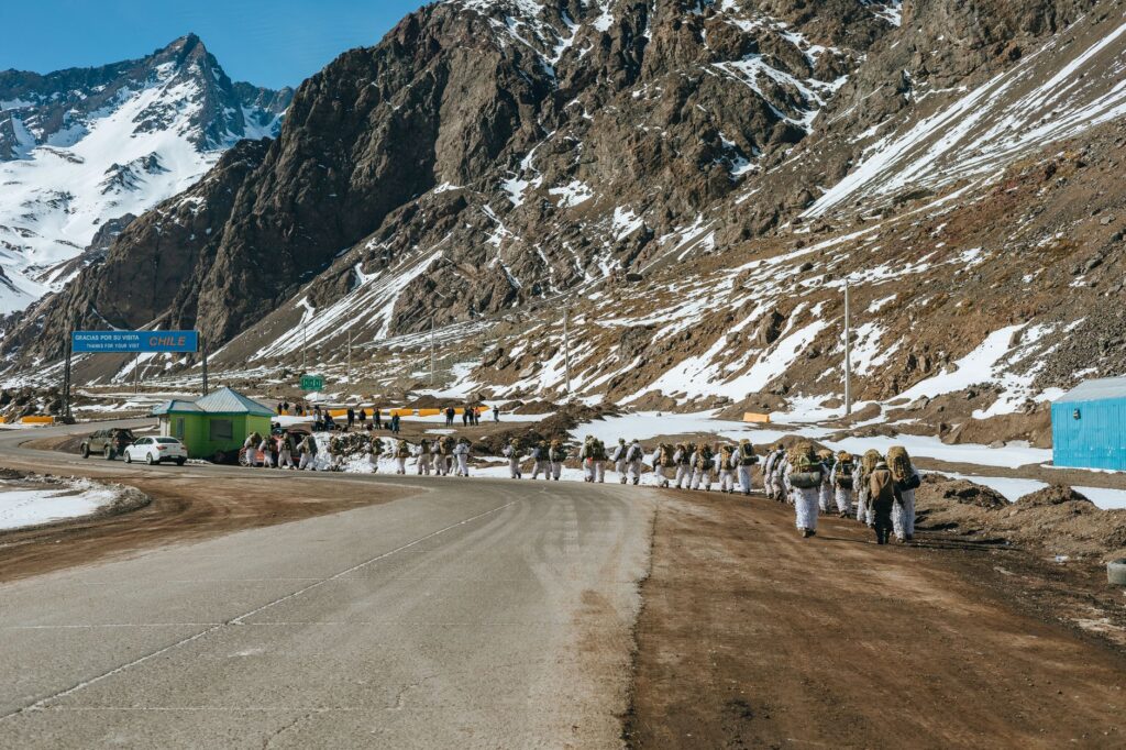
Likewise, solar radiation in the tropical Andes is exceptionally aggressive due to the thinness of the atmospheric layer and proximity to the geographic equator. Permanent use of category four sunglasses with side protection, wide-brimmed hats, and total block sunscreens is mandatory to prevent actinic keratitis and severe skin burns that incapacitate the trekker mid-route. Physical effort management must be measured not by horizontal distance covered, but by accumulated elevation gain and barometric altitude operated at each moment.
Community Logistics and Autonomy in the Territory
The territory through which the Huayhuash Range runs is not a national park managed by the central government, but a space communally managed by various local peasant associations, among which the communities of Llamac, Pocpa, and Pacllón stand out. This territorial peculiarity means that access to the circuit requires paying entrance fees at different community control posts located along the route. These collected funds are destined for trail conservation, waste management, and the maintenance of basic infrastructure, establishing an ecotourism model based on local sovereignty and respect for community property.
For trekkers deciding to complete the route entirely autonomously, carrying all equipment and food on their backs, weight planning is an exercise in minimal engineering. Every gram counts when overcoming passes like Portachuelo de Huayhuash or the feared San Antonio pass, where the scree slope demands perfect balance and millimetric traction. On the other hand, the option of hiring local muleteers with strings of mules or horses for heavy equipment transport represents an economical and culturally enriching alternative, boosting the economy of pastoral families who have inhabited these valleys for generations.
- Plan for a margin of at least three additional days in Huaraz exclusively dedicated to prior acclimatization before starting the trek.
- Carry a dual water purification system, combining physical micropore filtration with chlorine dioxide tablets to ensure potability against viruses and bacteria.
- Have a bidirectional satellite communication device, given that cellular phone coverage is completely nonexistent across all valleys of the circuit.
- Secure a stock of technical gas suitable for low temperatures, as standard threaded canisters lose pressure and efficiency below zero degrees and at high altitude.
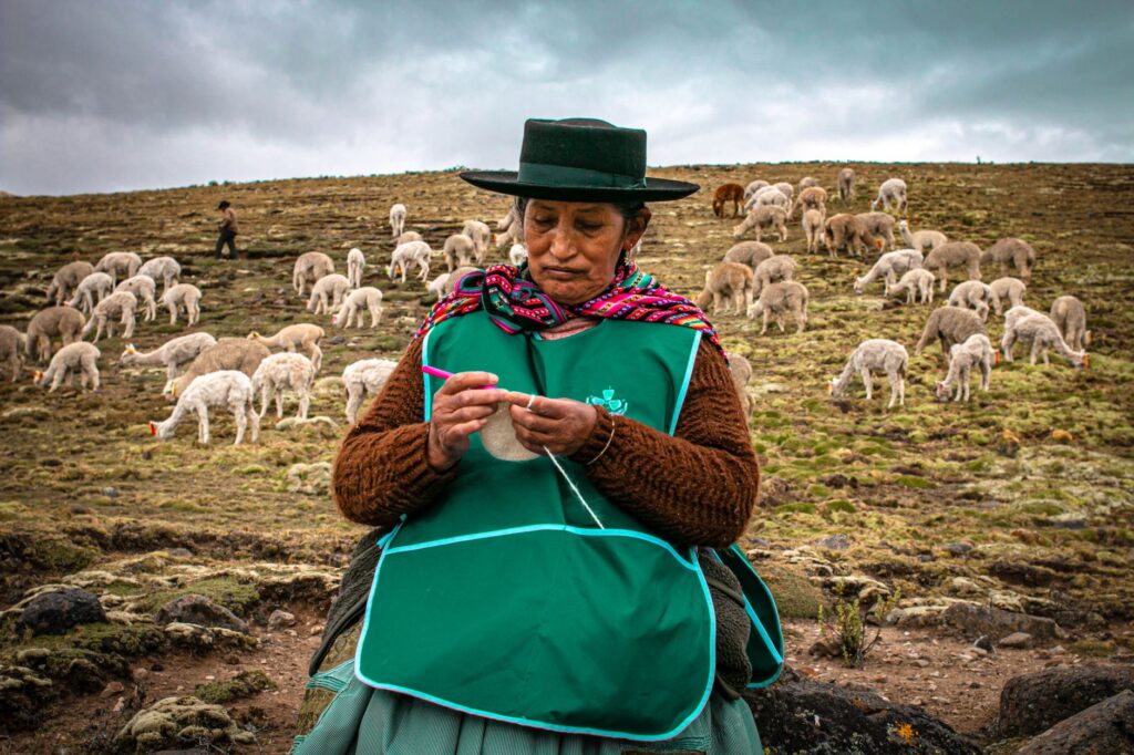
Interactions with local communities must always be governed by courtesy, respect for traditional norms, and the understanding that the trekker is a guest in a living cultural landscape. Pastoral customs and the traditional attire of local women, featuring characteristic wide-brimmed hats and hand-woven blankets, form an integral part of the experience as much as the snowy peaks. Photographically documenting local residents or their working animals always demands prior and respectful consent, avoiding intrusive attitudes that disrupt the daily tranquility of high-Andean settlements.
Geology and Climate Change in the Peaks of Yerupajá
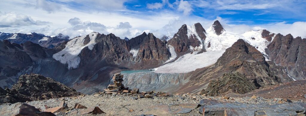
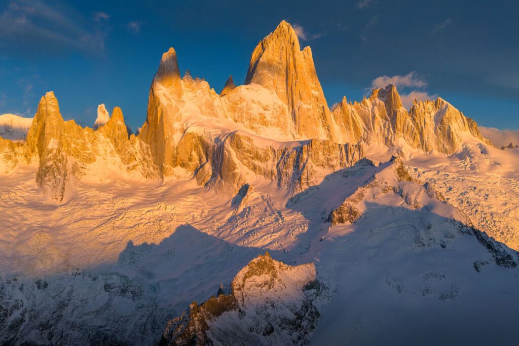
Contemplating the imposing mass of Yerupajá, which at six thousand six hundred and thirty-four meters constitutes Peru’s second-highest peak and the highest in the Amazon basin, is witnessing the titanic force of Andean orogeny. The interaction between the Nazca and South American plates continues to elevate this wall of sedimentary rock and intrusive granite at an annual millimetric rate, while glacial erosion and meltwater constantly carve capricious forms in the rock. Lateral moraines flanking current glaciers reveal the historical magnitude of ice masses that today experience an accelerated and evident retreat due to global warming.
During the march over Cuyoc pass or skirting the base of Sarapo, it is possible to observe whitish scars left by receding ice, exposing beds of polished rocks and newly formed lakes that increase the risk of sudden floods or outbursts. This dynamic geological context requires expeditioners to maintain constant attention to terrain conditions, especially after episodes of intense precipitation or accelerated daytime melting that destabilize moraine slopes. Landscape reading ceases to be a mere aesthetic delight and becomes a survival tool and constant technical analysis.
The mountain grants no privileges for invested effort; it imposes its own physical laws to which every human being must submit with humility and absolute attention.
The study of rock formations and tectonic folds visible along valley walls offers a fascinating geological perspective spanning millions of years of Earth history compressed into vertical strata. Local guides and specialized maps help identify different rock types, from fossiliferous marine limestones situated at high altitude—testimony that these peaks were submerged on the ocean floor before being pushed skyward—to dark igneous granite intrusions forming the sharpest and most technical spires of the massif.
Practical guide
How to get there: The international entry point is Jorge Chávez International Airport in Lima. From there, it is necessary to take a long-distance bus from reliable companies (such as Cruz del Sur or Línea) to the city of Huaraz, a road journey demanding approximately seven to eight hours via the North Panamerican Highway and the detour toward the Huayhuash Alleyway through the Cañón del Pato or the paved route via Conococha.
When to go: The optimal seasonal window strictly extends between the months of May and September, coinciding with the austral dry season or Andean winter. During these months, days typically dawn clear and stable, although nights are extremely cold. The rainy season, from November to March, must be completely avoided due to the high danger of electrical storms, swollen rivers, and landslides.
Permits and fees: Community access fees vary slightly each season, ranging between thirty and fifty Peruvian soles per traversed community. It is essential to carry sufficient cash in local currency (new soles in good condition, without tears or marks) as there are no ATMs or electronic payment systems throughout the mountain circuit.
Recommended technical gear: High-cut mountain boots with waterproof membrane and high-traction soles broken in beforehand; telescopic poles with winter baskets; high-performance breathable and windproof layer systems; down sleeping bag with a comfort limit temperature of at least -10 °C; four-season tent with a structure capable of withstanding strong winds; and a complete first-aid kit including specific medication for altitude sickness and broad-spectrum antibiotics.
Safety and emergencies: Hiring an international travel insurance policy explicitly covering helicopter rescue and hiking and mountaineering at altitudes above five thousand meters is an essential requirement. Note emergency contact numbers for the Association of Mountain Guides of Peru (AGMP) and the High Mountain Police (PNP) in Huaraz before starting the traverse.
The footprint left by the Huayhuash Range on the spirit of those who traverse it is not erased by the return to urban comfort. Upon finally descending to cultivated valleys, with tired bodies tempered by the supreme effort of altitude, the trekker understands that these giants of rock and ice are not mere stages for personal conquest, but silent cathedrals of the Earth deserving to be crossed with reverence, respect, and profound awareness of our own fragility before the immensity of the Andean world.