
The Fluvial Artery That Vertebrates Northern South America
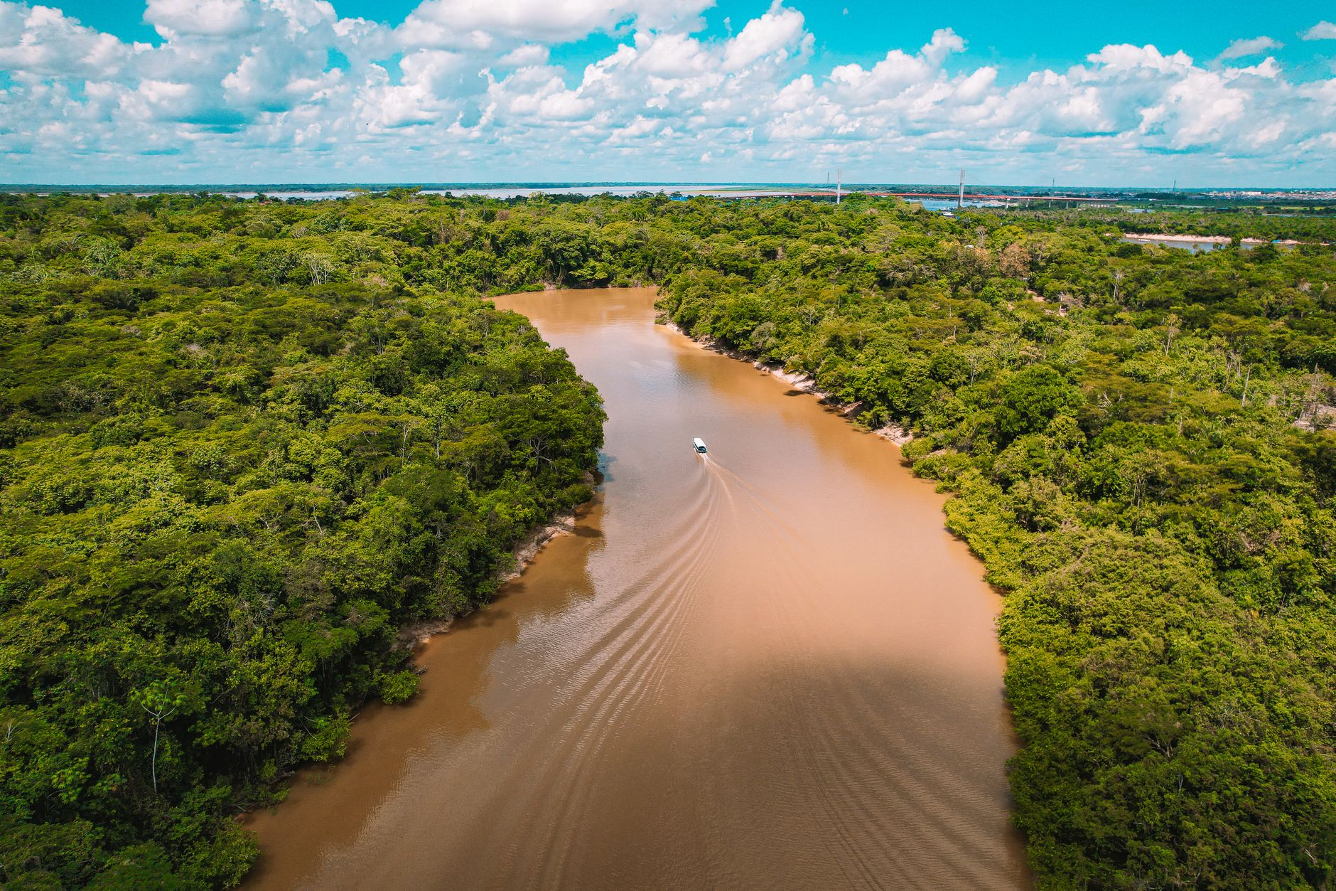
The Magdalena River is far more than a geographical accident; it constitutes the historical, economic, and cultural backbone of Colombia. From the Andean summits where it originates to its mouth at the Caribbean Sea, this basin has shaped the destiny of entire populations, serving as the primary conduit for commercial penetration and territorial exploration from the colonial era through to the contemporary industrial age. Comprehending its course requires delving into a complex network of interactions between tropical topography, seasonal hydrological regimes, and the tenacity of engineering efforts that have attempted—with varying degrees of success—to tame its currents to ensure consistent navigation.
Over the centuries, the river journey between the country’s heartland and the Caribbean coast has undergone profound transformation. Indigenous canoes and heavy colonial merchant brigantines eventually yielded to the golden age of paddle-wheel steamboats in the nineteenth century, a milestone that reshaped the national economy by accelerating the transport of coffee, passengers, and manufactured goods. Today, discourse surrounding the Magdalena focuses on its comprehensive rehabilitation, a nationwide initiative aimed at balancing logistical competitiveness with the preservation of the intricate wetland ecosystems flanking its course.
The Pulse of Water: Geography and Hydrological Regimes of the Magdalena
The behavior of the Magdalena River is dictated by a bimodal rainfall regime that divides the year between high-water periods and severe dry seasons. This oscillation represents the greatest technical challenge for commercial navigation. During drought months, water levels drop drastically, exposing shifting sandbars and reducing the draft available for cargo barge convoys transporting heavy goods such as coal, steel, and agricultural products. Global climate variability has intensified these extremes, forcing logistics operators to continually recalibrate their dispatch strategies.
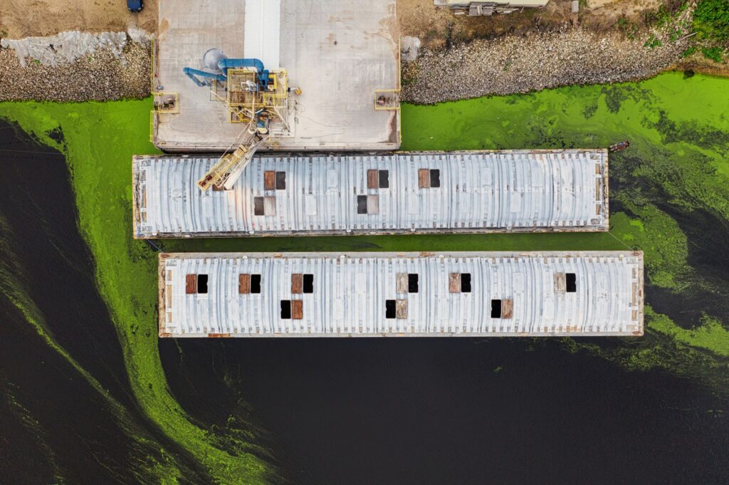
To counteract natural limitations, river authorities and transport associations have implemented real-time bathymetric monitoring systems and periodic dredging campaigns at critical bottlenecks. These civil engineering works aim to maintain a stable navigable channel between intermediate ports and the river mouth. However, human intervention must contend with the natural dynamics of sedimentation—a phenomenon fueled by deforestation in the upper and middle basins, which washes tons of mud and silt into the main channel.
The Steamboat Era: Industrial Archaeology and Riparian Memory
The collective memory of the Magdalena is inextricably linked to the silhouette of paddle steamers that plied its waters for over a century. Vessels bearing evocative names such as David Arango or Federico Heilbron transported not only cargo but also pianos, printing presses, European fashions, and illustrious travelers crossing the tropics amidst extreme humidity and heat. These boats functioned as social microcosms where merchants, foreign crew members, engineers, and musicians converged, weaving a unique cultural fabric across ports of call.
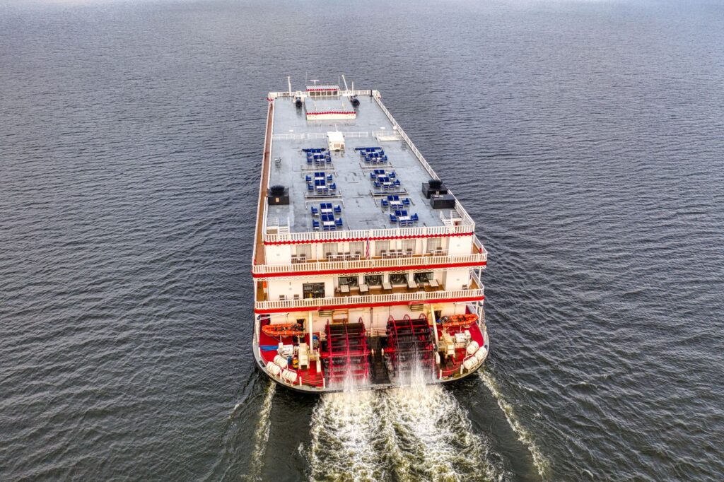
The river did not merely transport goods; it was the great bridge through which the interior nation gazed outward toward the world, a conduit of ideas as voluminous as its own waters.
Maintenance workshops, artisanal shipyards, and old port warehouses distributed along the banks preserve the vestiges of this industrial archaeology. Although many of these small wooden docks have succumbed to corrosion and abandonment, certain enclaves retain metal structures of British origin that recall the era when steamboat technology overhauled national logistics. The preservation of this industrial heritage remains an urgent task for historians and local communities advocating for the revaluation of their riparian past.
Riparian Engineering: Dikes, Jetties, and the Challenge of Bocas de Ceniza
Securing connectivity between the river and the sea has required civil engineering works of colossal magnitude. The most critical point in the entire system lies at Bocas de Ceniza, the Magdalena’s mouth at the Caribbean Sea near Barranquilla. There, the force of the river discharge collides with marine waves and currents, causing rapid sedimentation that has historically blocked deep-draft vessel access. The construction of the jetties—gigantic rock dikes confining the river’s outflow into the open sea—represented one of the most ambitious engineering feats in Latin America at the time.
These hydraulic structures compel the current to maintain sufficient velocity to sweep sediments far out to sea rather than allowing them to accumulate in the access channel. Nonetheless, maintaining these jetties demands continuous investment and ongoing reassessment of oceanographic dynamics. Variations in trade wind intensity and sudden discharges from the upper basin generate structural pressures that test the resilience of these dikes, turning Barranquilla’s port operations into an exercise in permanent technical precision.
Contemporary Logistics: The Supply Chain Between Puerto Berrío and the Coast
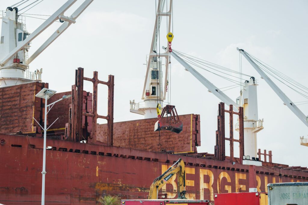
In the current economic framework, the corridor linking Puerto Berrío to the Caribbean terminal ports functions as a multimodal system where the river complements highways and railways. Puerto Berrío, strategically located in the department of Antioquia, acts as a historical transfer node where goods arriving from interior industrial centers are transshipped onto river vessels. This intermodal approach is vital for reducing national logistics costs, which have traditionally relied on overland transport burdened by rugged Andean topography.
- High-capacity bulk and dry cargo dispatch utilizing heavy river barges.
- Coordination of navigation windows based on daily hydrological bulletins.
- Operational integration with the port terminals of Barranquilla and Cartagena.
- Fluvial safety protocols established for night navigation and high-sinuosity stretches.
Despite its economic advantages, the waterway faces considerable operational hurdles, such as the scarcity of modern tugboat and barge fleets, as well as the need to upgrade navigational aids along more than a thousand kilometers of navigable route. The efficiency of this supply chain depends directly on sustained public and private long-term investments capable of mitigating climatic uncertainties and securing competitive freight rates against road transport.
Ecology and Communities: The Human Pulse of the Riverbanks
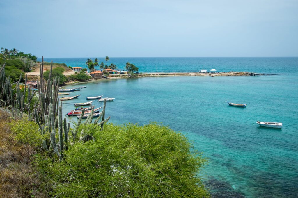
Riparian communities—traditionally known as artisanal fishers, boat operators, and floodplain farmers—have developed an encyclopedic understanding of river behavior. They read water cues, anticipate floods by observing mud discoloration or the migration patterns of specific fish species, and adapt stilt dwellings to fluctuating water tables. However, this ancestral lifestyle is under severe pressure due to environmental degradation, industrial wastewater pollution, and the loss of connectivity with floodplain wetlands, which serve as natural nurseries for aquatic fauna.
Current river restoration projects inherently incorporate socio-environmental dimensions, recognizing that the economic viability of the river cannot be divorced from the well-being of its inhabitants. Watershed reforestation programs, illegal fishing enforcement, and the establishment of marine protected areas within the delta are essential initiatives to ensure the Magdalena maintains its biological productivity. Balancing transport infrastructure development with the conservation of aquatic ecosystems remains the central dilemma for the region’s future.
Practical Guide
Planning a journey or logistics assessment along the Magdalena River requires a clear understanding of the region’s operational and transport specifics. Below are the essential guidelines for researchers, sector professionals, and travelers interested in Colombian fluvial geography.
Getting There and Around
The primary access points to the middle and lower river basins are the international airports of Barranquilla (BAQ) and Medellín (MDE), with the latter serving as a terrestrial link toward Puerto Berrío. For travel along the banks, the national highway network connects riparian municipalities, though the authentic fluvial experience requires contracting specialized passenger transport services or authorized tourist vessels at specific ports such as Magangué or Barrancabermeja.
Best Time for Observation and Travel
Navigation conditions and landscape aesthetics vary drastically according to climatic seasons. Transitional months between rainy and dry periods (generally April to May and September to November) offer an optimal visual balance with stable water levels. The most severe dry season (January through March) should be avoided if the objective is observing heavy cargo barge traffic, as draft restrictions significantly slow down fluvial operations.
Safety and Logistical Recommendations
Fluvial navigation and travel along the Magdalena require caution due to shifting currents and constantly evolving port infrastructure. Securing assistance from certified local logistics operators, wearing appropriate attire for humid tropical climates, and registering travel itineraries with regional port authorities are essential steps when undertaking technical or research expeditions along the main channel.