
The Atlantic insularity of the Canary Islands conceals beneath its touristic veneer a vertical, relentless, and deeply fragmented relief that tests the physical and mental endurance of any expeditioner. Along its volcanic crests, the Long-Distance trail known as GR 131 traces a backbone route connecting the extremes of the main islands, offering a unique window into the living geology of Macaronesia. This traverse is neither a coastal stroll nor a conventional mid-mountain route; it is a technical itinerary where terrain aridity, accumulated elevation gains, and constant exposure to the elements demand meticulous planning and a deep understanding of the natural environment.
Approaching the GR 131 requires understanding that each island presents a radically distinct microclimate and topographic demand, from the Canarian pine forests shrouded in the horizontal mist of the trade winds to the black malpaís deserts where basalt rock tests the soles of hiking boots. The expedition unfolds along ancient shepherd tracks, royal paths, and summit trails recovered for pedestrian transit, connecting extinct volcanic calderas with cliffs plunging abruptly toward the ocean. In this territory, self-sufficiency ceases to be an option and becomes an unwavering safety standard.
Geology and Climatology: Understanding the Atlantic Volcanic Pulse
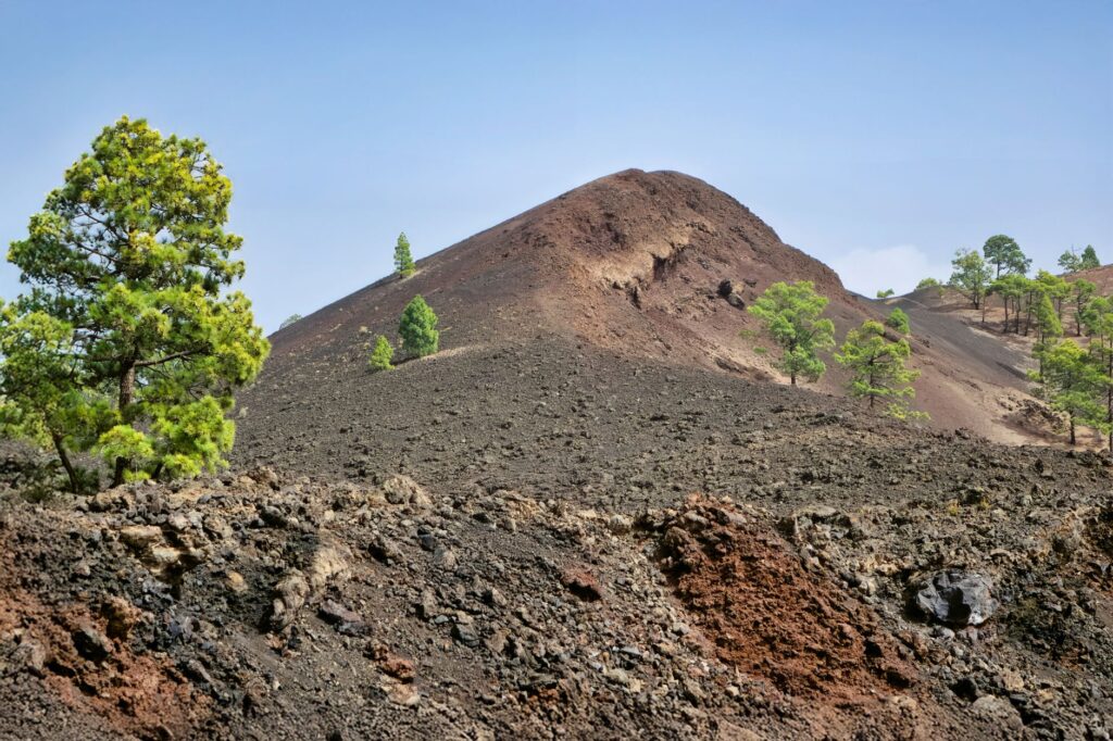
The volcanic origin of the Canary Islands absolutely determines the morphology of every stage along the trail. Terrains are composed of recent lava flows, pumice deposits, loose volcanic ash, and basaltic escarpments requiring constant focus with every footfall. The absence of clay sediments in many high areas means the footing is highly abrasive, and trekking poles suffer accelerated wear upon contact with living stone. The topography is the result of millions of years of active volcanism, marine erosion, and massive gravitational landslides that have sculpted an abrupt and vertical relief.
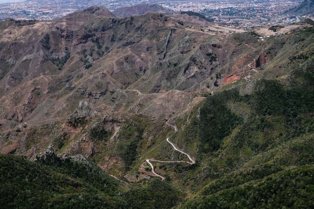
Conversely, the meteorological regime is dominated by trade winds blowing from the northeast, carrying moisture from the North Atlantic. Upon colliding with major insular elevations, these winds generate the phenomenon known as the sea of clouds, condensing moisture in northerly-exposed mid-altitudes while leaving southern slopes and higher peaks under intense solar insolation and extreme aridity. The hiker must be prepared to transition within hours from thick, cool, damp fog to an unforgiving zenithal sun that drastically increases the dehydration rate.
Logistical Planning: Supply and Autonomy in Insular Terrain
Unlike continental long-distance trails where rivers and streams guarantee a constant water supply through filtration, the GR 131 runs mostly along summits and crests where natural water resources are practically nonexistent. Barring a few traditional springs or piped water galleries managed by local island councils, there are no reliable potable water sources along the high-altitude stages. For this reason, calculating water weight is the critical factor determining the success or failure of each day’s march.
Resupply logistics force the expeditioner to periodically descend to population centers located in the mid-altitudes or coordinate food and water drops with local logistical support services. The initial backpack weight is often high due to the necessity of carrying at least four liters of water per person for the longer stages under the sun. Furthermore, mobile connectivity is variable; although 4G and 5G coverage is present across many summits due to telecommunications infrastructure, deep ravines and enclosed calderas lack signal entirely.
Technical Equipment and Footwear for Abrasive Terrains
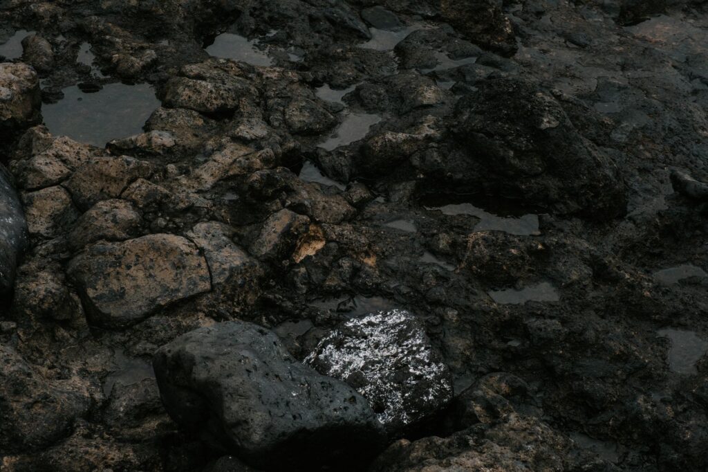
Gear selection for the GR 131 must prioritize lightness without compromising structural resistance against volcanic abrasion. Malpaís stones act like razor blades on synthetic fabrics and soft rubber soles, making high-density mountain footwear mandatory, preferably featuring perimeter rubber rands and a durable, breathable membrane. Ultralight trail running shoes, though popular in other settings, suffer irreparable damage within a few stages due to the sharp edges of corded lava and basalt slabs.
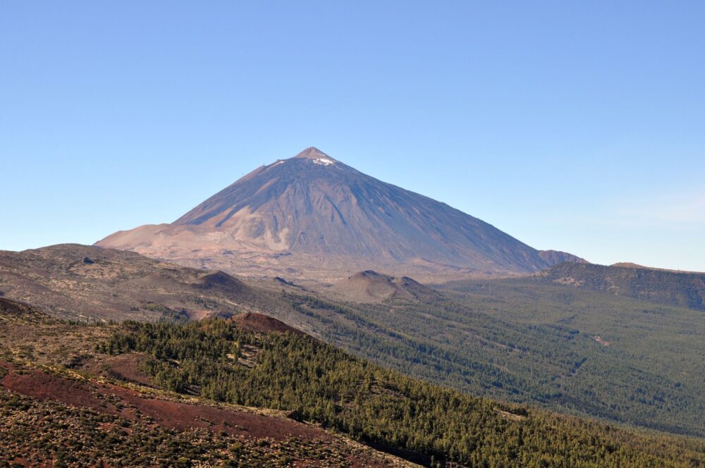
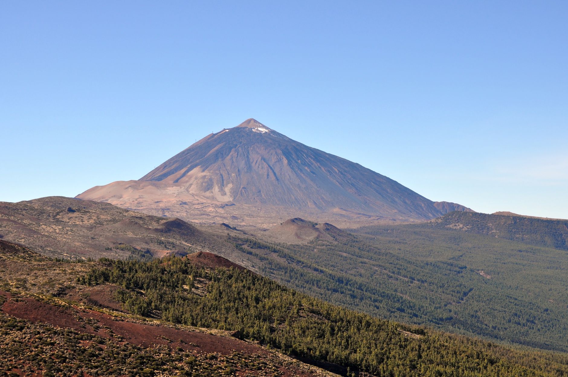
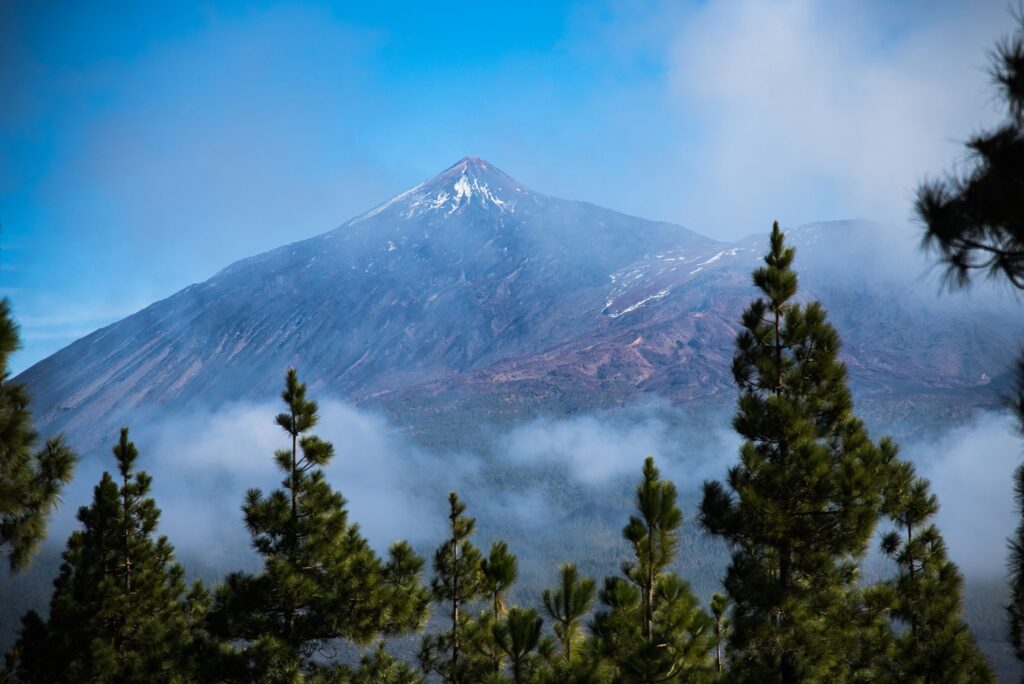
A layering system in apparel is equally indispensable. During ascents to higher peaks, such as Mount Teide in Tenerife or Roque de los Muchachos in La Palma, temperatures can drop drastically and suddenly, especially at dusk or when winds blow from the anticyclone. A three-layer waterproof windproof jacket, a down or synthetic insulation vest, and broad-spectrum sun protection are mandatory pack contents, regardless of whether the morning dawns completely clear at the coast.
Progression and Safety: Managing Effort Across Accumulated Elevation Gains
The altimetric profile of the GR 131 stages features steep gradient changes, frequently accumulating over a thousand meters of both ascent and descent in a single day. Progression demands refined technique to protect knees during prolonged descents over loose volcanic cinder and ash. Using telescoping poles with wide baskets is vital for distributing joint stress and maintaining balance when the footing yields beneath boots.
The insular mountain does not forgive improvisation; every ridge demands respect and every malpaís descent tests the hiker’s patience.
Passive safety involves always carrying a satellite communication device or emergency beacon, as insular rescue services—while highly professional and equipped with advanced aerial assets—may experience delayed intervention times if adverse weather conditions or low fog visibility prevent helicopter flights. Rigorous knowledge of escape routes and daily consultation of official weather alerts issued by competent authorities are mandatory routines before starting each stage.
Environmental Impact and Low-Impact Ethics in Protected Areas
Much of the GR 131 route runs through National Parks, Natural Parks, and Biosphere Reserves with strict conservation regulations. The insular ecosystem is exceptionally fragile due to high rates of plant and animal endemism, featuring plant species like the tajinaste or animals like the giant lizard found nowhere else on Earth. The fundamental rule for the expeditioner is to leave no trace, carrying all generated waste back to urban centers and avoiding straying from marked paths to prevent erosion of fragile soils.
Free camping is strictly prohibited outside areas specifically designated by environmental authorities, and in many sections overnight stays require booking permits weeks in advance. Respect for the tranquility of native wildlife and the preservation of intact geological elements ensure this fragile natural heritage can continue to be explored by future generations of responsible adventure seekers.
Practical guide
Recommended season: From October to May, avoiding summer months due to extreme heatwaves and high wildfire risks in pine forest masses.
Permits and regulations: Several stages cross restricted access zones within National Parks where transit or overnight permits must be secured through official island council websites.
Transportation logistics: Access to stage start and end points relies on regular island bus lines or rental vehicles, requiring schedule coordination in advance.
Water supply: Always carry a minimum of four liters of water storage capacity along with purifiers or purification tablets as a precaution against unverified sources.
Connectivity and navigation: Download official GPS tracks beforehand and carry printed topographic backup maps, as data coverage can be intermittent in deep ravines.
Emergency equipment: Advanced first aid kit, high-resistance thermal blanket, whistle, headlamp with spare batteries, and waterproof warm clothing even in spring.
Epilogue on the Wind Ridge: Final Reflection on Insular Walking
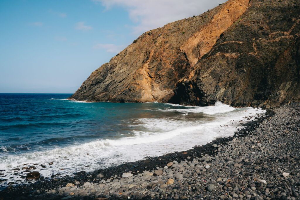
When evening light begins painting summit basalt walls in ochre and violet hues, and the sea of clouds stretches like a white, motionless blanket beneath our feet, the true dimension of this Atlantic traverse is understood. The GR 131 is not merely a sum of kilometers and elevation gains overcome through physical effort; it is an intimate dialogue with the elemental force of the Earth, a constant reminder of our own fragility before the immensity of the ocean and the volcanic memory throbbing beneath the surface.
Walking the peaks of Canarias is ascending to meet the primal wind, where every step on black stone solidifies an eternal bond with nature in its purest and wildest state.
Overcoming the harshness of its trails leaves an indelible mark on the traveler’s spirit. After days of self-sufficiency, weighing every drop of water, and carefully reading the signals of sky and rock, reaching the final cliff overlooking the sea becomes a profoundly transformative experience. The Canary Islands thus reveal their best-kept secret: beyond sunny coasts, a vertical sanctuary of silence, exertion, and volcanic beauty awaits those daring to traverse it with firm footing and sincere humility.