
The Longitudinal Call of New Zealand
The insular territory forming Aotearoa (New Zealand) possesses a unique geographical configuration stretching from north to south like a rugged bridge between the roaring forties and cold subantarctic currents. Connecting the geographic extremes of this country on foot represents one of the most demanding long-distance hiking challenges in the Southern Hemisphere. The Te Araroa Trail, formally conceived and fully inaugurated in 2011 after decades of community and governmental effort, is not simply a marked route on maps; it is a continuous traverse demanding methodical landscape reading, constant adaptation to oceanic meteorology, and deep respect for local communities and the Māori heritage permeating every valley.
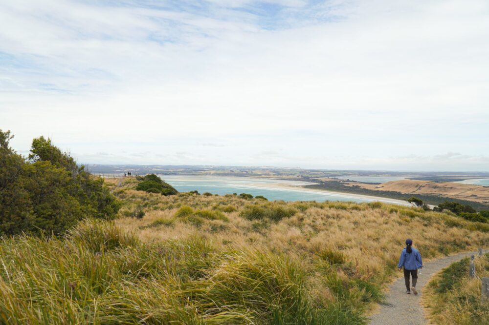
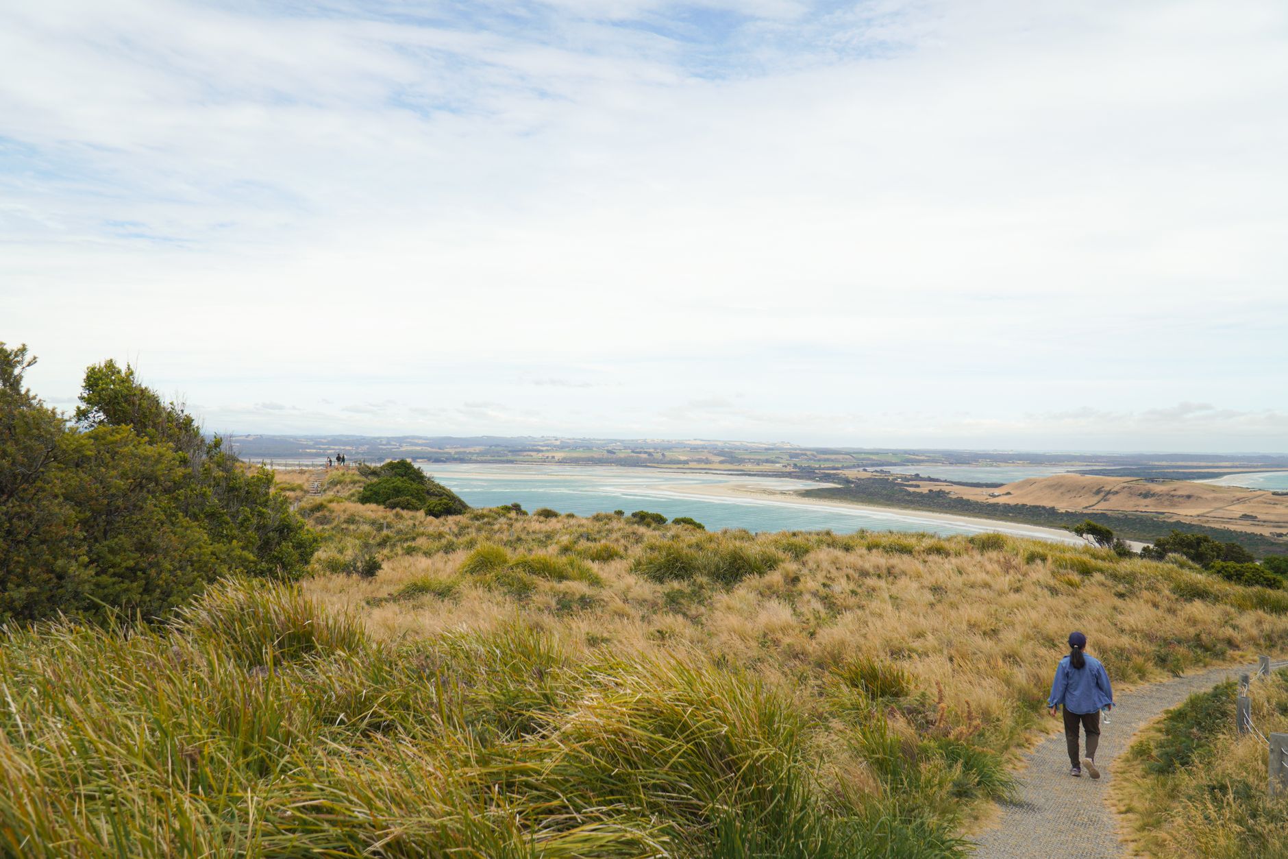
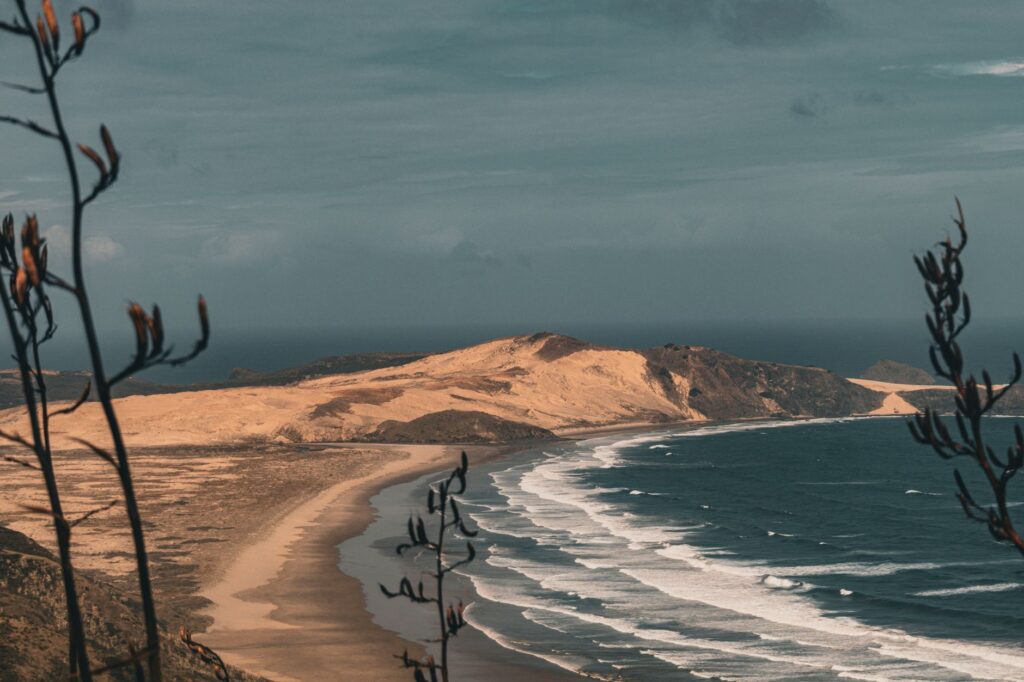
Along its three thousand kilometers, the itinerary intertwines golden sand beaches beaten by the Tasman Sea and the Pacific Ocean, lush temperate forests dominated by giant ferns and ancient kauri trees, alpine crests sculpted by active glaciers, and river valleys where sudden floodwaters dictate the rhythm of the march. Tackling this expedition requires abandoning any pretense of urban comfort and accepting the rules imposed by the living geology of a country shaped by plate tectonics. Planning is not reduced to calculating daily cumulative elevation gain, but to understanding the interaction between Antarctic cold fronts, prevailing westerly winds, and the fragility of insular ecosystems.
Geography and Tectonic Pulse of the Southern Extreme
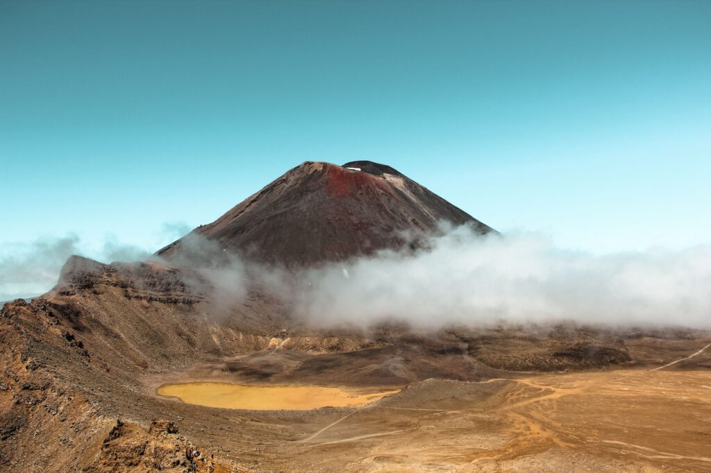
Understanding the magnitude of Te Araroa involves analyzing the geological diversity of the two major islands comprising the journey. On the North Island, the trail initially winds through endless beaches, black volcanic sand fields, and muddy forest tracks before plunging into the central plateau of the North Island, dominated by the volcanic giants of Tongariro National Park. Here, the traverse transforms into an exercise in caution over recent lava flows, active craters, and treeless slopes where the wind blows with relentless force. Descents into river valleys, such as the historical canoe section down the Whanganui River, remind travelers that water has been the primary sculptor and ancient communication route.
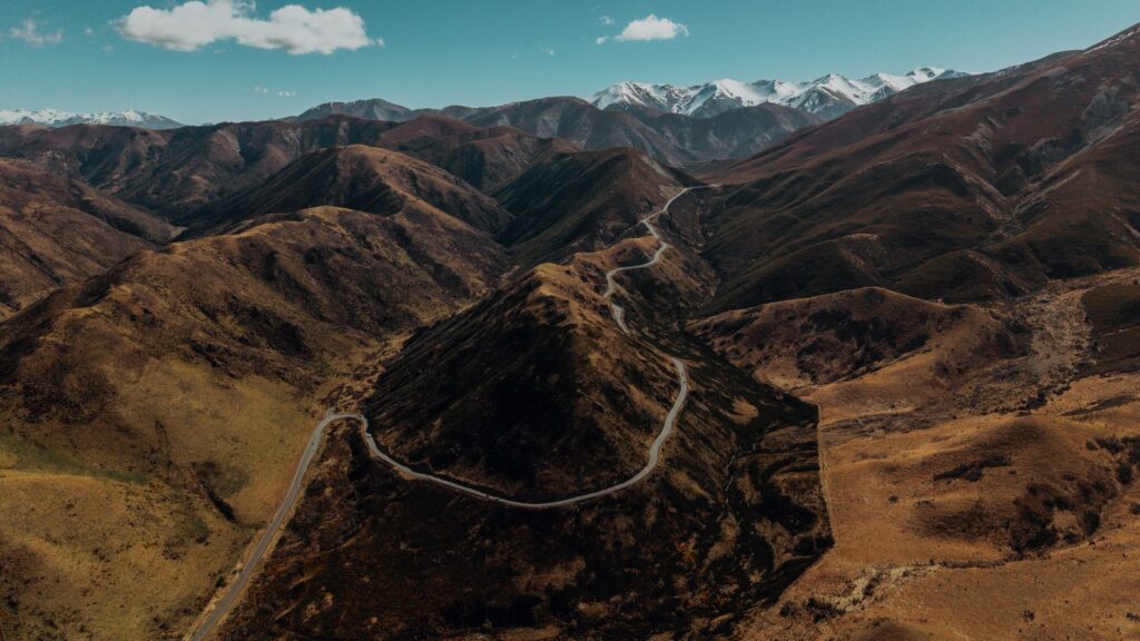
Crossing the Cook Strait toward the South Island, the landscape radically shifts into dazzling alpine verticality. The Southern Alps (Kā Tiritiri o te Moana) impose their law through high mountain passes, unstable moraines, and gorges carved by glacial erosion. In this southern section, self-sufficiency becomes the fundamental pillar of survival. Department of Conservation (DOC) mountain huts offer basic shelter, but distances between resupply points widen significantly, forcing hikers to carry packs frequently exceeding eighteen kilograms of initial weight, including freeze-dried rations, technical snow equipment, and water purification systems.
Logistics and Resupply Management En Route
The logistics of an expedition of this magnitude demand millimetric precision. Unlike other continental trails where towns appear every few days, Te Araroa meanders through both urban areas and remote wilderness where the sole connection to the outside world is a satellite link. Food provisioning is planned through advance parcel drops sent to rural post offices, small country stores, or local lodges situated at transition points between mountain and coastal stretches.
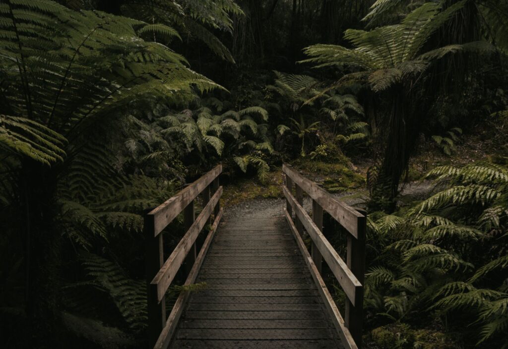
Weight management and the nutritional quality of the load determine the physical success of the progression. Every gram counts when facing ten to twelve hours of continuous marching over surfaces as diverse as river boulders, clay mud, and exposed rocky ridges.
The true measure of a long-distance hiker is not calculated by the speed of their steps, but by their capacity to accept adverse weather and intelligently repack their backpack when the mountain imposes its own conditions.
Likewise, footwear suffers extreme wear from the constant combination of moisture, volcanic abrasion, and frequent river crossings, making it essential to plan for the replacement of boots or trail running shoes in key cities such as Auckland, Wellington, Nelson, or Queenstown.
Hut Culture and Kiwi Hospitality
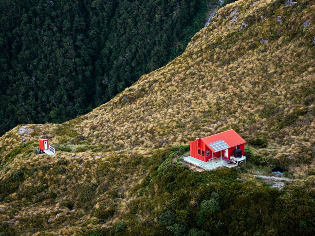
The hiking phenomenon in New Zealand is deeply rooted in its social fabric through the hut system. These facilities, classified into categories based on amenities, foster a unique camaraderie between international walkers and local excursionists. Sharing the warmth of a wood-burning stove at dusk after a day of persistent rain in the forests of Fiordland or the passes of the Tararua Range constitutes one of the most enriching rituals of the traverse.
The concept of *Kaitiakitanga* (guardianship and environmental protection) and respect for private landowners who allow the trail to pass through their pastoral holdings are core values every expeditionary must internalize. Department of Conservation regulations are strict: waste management requires packing out everything generated, and the use of composting toilets minimizes human impact in fragile environments. The relationship with local iwi (Māori tribes) adds a historical and spiritual dimension to the journey, recalling that these lands are not merely a sporting arena, but an ancestral heritage laden with cultural meaning (*whakapapa*).
Safety, Climatology, and Technical Preparation
New Zealand’s meteorological unpredictability is proverbial; it is widely said that one can experience four seasons in a single day. Gale-force winds, sudden temperature drops, and torrential downpours can turn a simple trail into a mortal trap without proper clothing and the necessary training to interpret national weather service bulletins (MetService). Flash floods represent the greatest objective danger in river sections, occasionally forcing hikers to wait for hours or days on the riverbank until flows recede to safe levels.
Mandatory safety equipment must include a Personal Locator Beacon (PLB), a chemical or filtration water purification system to prevent giardiasis present in certain surface waters, and three-layer waterproof clothing with a breathable technical membrane. Self-medical sufficiency and the capacity for self-evaluation at the first symptoms of hypothermia or extreme fatigue are critical life-saving skills in the most isolated stretches of the South Island.
Practical guide
Best time for the trek: The optimal period spans from October to April (Austral spring and summer), ensuring longer daylight hours and lower accumulation of persistent snow in the alpine passes of the South Island.
Permits and fees: While trail access is free, acquiring the Department of Conservation (DOC) Backcounty Hut Pass is required for unlimited use of the South Island hut network, alongside specific fees for the maintenance of private sections.
Recommended equipment: 55 to 70-liter backpack, sleep system featuring a down sleeping bag with a negative comfort rating, high-end insulating sleeping pad, telescopic trekking poles with wide snow baskets, and a comprehensive field repair kit.
Connectivity: Mobile networks cover most populated areas, but in deep valleys and mountain ranges, carrying a two-way satellite communication device (such as a Garmin inReach) is essential.
Ecological regulations: Campfires are prohibited outside designated hut areas, strict adherence to Leave No Trace principles is mandatory, and boot disinfection at designated stations is required to prevent the spread of kauri dieback disease.
The Final Echo of Infinite Trails
Concluding the three thousand kilometers of Te Araroa at the mythical breakwater of Bluff, with eyes fixed on Foveaux Strait and the distant shores of Stewart Island, completely transforms the traveler’s perspective on planetary vastness and human resilience. This is not merely a physical feat, but a process of silent assimilation where the rhythm of the march synchronizes with the heartbeat of the earth.
At the end of the road, blisters and backpack weight dissolve into the indelible memory of sunrises over the fjords, the penetrating aroma of damp forests, and shared fraternity in the dim light of alpine huts.
Physical footprints on gravel and mud vanish with the first rain or high tide, but inner transformation remains intact, consolidating the unbreakable bond between the hiker and the wild nature of Aotearoa.