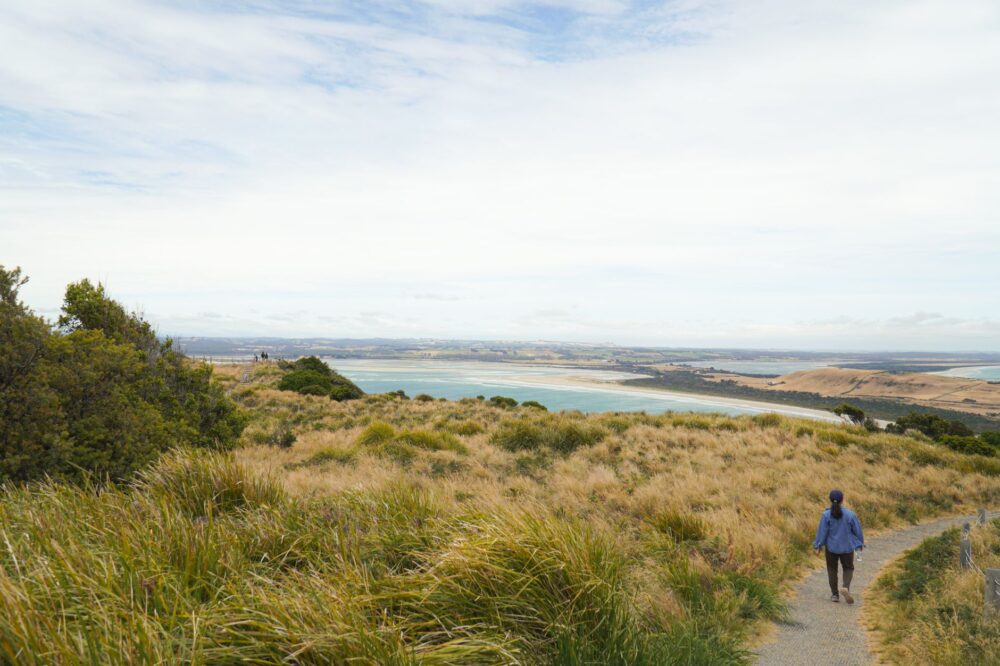

The terminus of a great trail is not merely a line drawn upon a cartographic map; it constitutes a physical and psychological threshold where months of accumulated marching endurance collide with the ultimate challenge of verticality and isolation. In the wild heart of Maine, Baxter State Park cradles the northern culmination of the Appalachian route, a geographical milestone known as Mount Katahdin. Unlike other sections of the North American eastern cordillera, this sector permits no improvisation. The combination of impenetrable boreal forests, granite rock fields exposed to hurricane-force winds, and strict regulation by forestry authorities turns every single step into a test of technical rigor and absolute respect for the wilderness.
Planning an incursion into this sector demands a thorough understanding of the relentless nature of New England’s woodlands, where constant humidity and abrupt topography carved by ancient glaciation condition every day of progression. Expeditioners must contend with a geography where traditional trails vanish beneath labyrinths of roots and slippery boulders, forcing a steady, methodical pace that prioritizes safety over speed. This report examines in detail the preparation protocols, technical equipment management, and indispensable logistics required to successfully face one of the most demanding traverses on the American continent.
The Glacial Geography of Baxter and the Challenge of Untamed Terrain
The orography of Baxter Reserve is the direct result of ancient ice sheets that sculpted U-shaped valleys and left behind elevated plateaus devoid of arboreal vegetation. The terrain is composed primarily of granite and gabbro, highly abrasive rocks that become exceedingly slippery when combined with a thin layer of moss and the region’s perpetual humidity. Hikers leaving forested valleys to venture into alpine zones experience a drastic shift in progression conditions, where each slope demands the coordinated use of both upper and lower limbs.
Throughout this stretch, watercourses descending from the peaks form roaring torrents that can become impassable within hours following a summer storm. The absence of suspension bridges across many secondary sections forces groups to precisely evaluate wading points, analyzing current velocity and riverbed stability. Route planning must incorporate alternative escape routes, as the dense forest canopy drastically limits visibility and hinders orientation efforts if the primary white-blazed trail on tree trunks is lost.
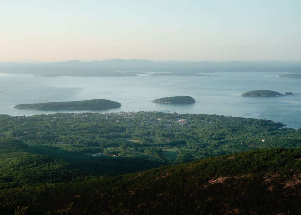
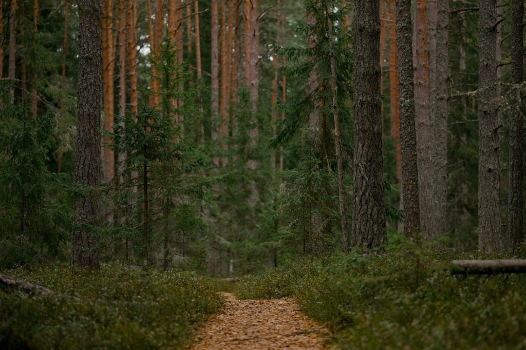
The forest ecosystem features a dense amalgam of balsam firs, yellow birches, and giant white pines that have resisted centuries of Atlantic storms. This closed canopy generates a humid, shadowed microclimate that keeps the soil soaked for weeks, making waterproof footwear and merino wool socks critical elements for preventing severe skin lesions and blisters that could halt a hiker’s progression.
The Logistics of Self-Supported Supply in the Wilderness
One of the greatest logistical challenges when venturing into northern Maine lies in the strict prohibition of receiving resupply packages inside the park and the limitation on permitted stay durations for visitors. Expeditioners must carry in their backpacks all necessary food to cover the entire stretch from the last point of civilization to the summit of Katahdin, usually translating to an initial weight hovering between eighteen and twenty-two kilograms per person, depending on equipment optimization.
Selecting food rations requires a rigorous balance between daily caloric intake—which must exceed three thousand five hundred calories—and the volume occupied within the watertight compartment. High-density energy dehydrated foods, dried fruits, cured meats, and quick-cooking carbohydrates are prioritized to minimize gas fuel consumption along the route. Likewise, potable water management demands systematic use of ceramic membrane filters or chemical purification systems, because despite the apparent purity of mountain streams, the presence of wildlife such as beavers increases the risk of contracting parasites like giardia.
Nighttime food storage constitutes another non-negotiable safety priority. The abundant population of North American black bears in the Maine forests mandates the compulsory use of certified rigid polymer containers or, failing that, rigorous high-suspension techniques using sturdy branches more than four meters off the ground and far from main trunks to prevent animal intrusion.
The Final Ascent to Baxter Peak: Strategy on the Knife’s Edge
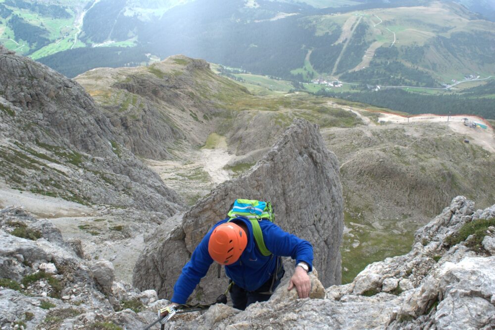
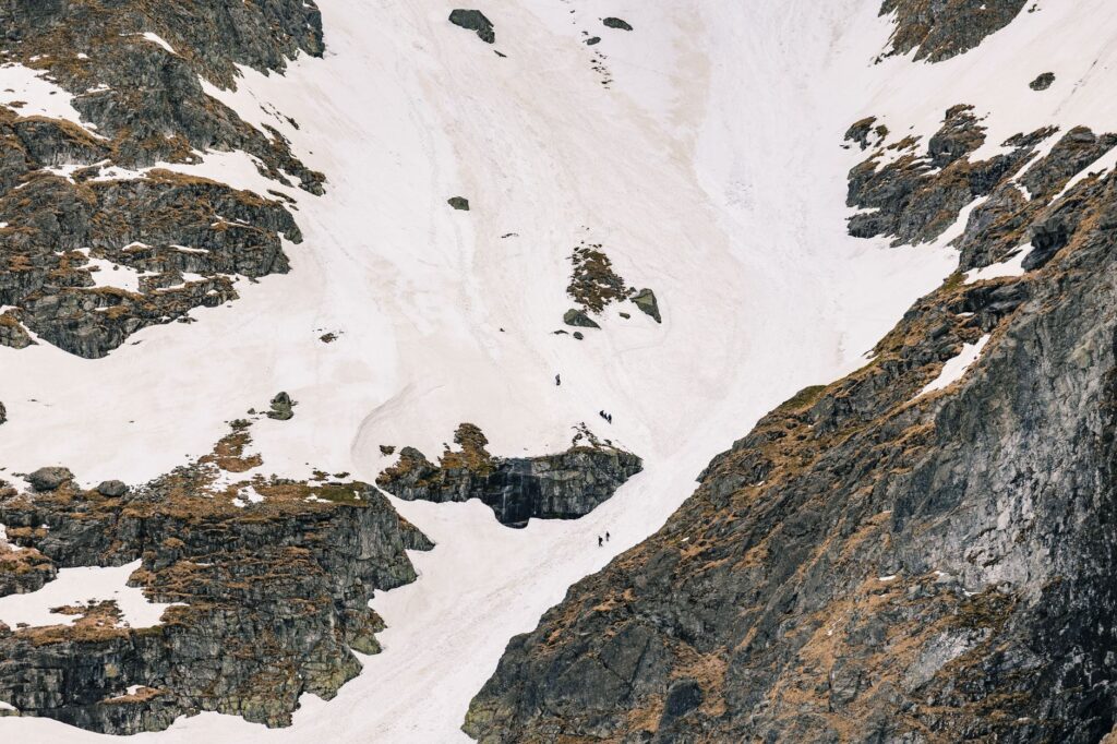
The climax of the traverse materializes in the ascent to Baxter Peak via the legendary ridge known as the Knife’s Edge. This high-mountain passage consists of a narrow ridge of fractured rock barely a meter wide in some spots, with hundreds of meters of sheer drop on both sides. Tackling this section demands absolute mental stability and a total absence of vertigo, as gusts of wind originating from the North Atlantic can unbalance the hiker even with a properly adjusted pack.
The weather at Katahdin’s summit is notoriously fickle; a clear dawn can transform into a severe electrical storm in less than sixty minutes. For this reason, park rangers implement strict access control protocols, prohibiting departures toward the alpine zone if forecasts point to precipitation or lightning strikes. Expeditioners must begin their march before dawn from lower base camps to secure the necessary time margin allowing them to crown the summit and descend before afternoon cloud cover rolls in.
The mountain does not yield its summit by right of arrival, but by the profound respect with which it has been read and traversed in every preceding kilometer.
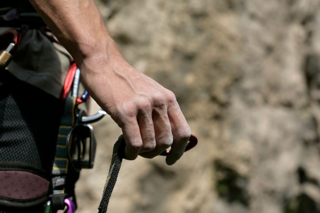
During the ridge traverse, trekking poles become impractical due to the need to use hands to secure each hold on the granite blocks. Hikers must adopt the technique of three permanent points of contact, checking the firmness of every rock before transferring body weight. This section tests not only physical condition but also the capacity for decision-making under extreme environmental stress.
Technical Equipment and Clothing for Subarctic Conditions
The weather in northern Maine can experience sudden temperature drops even in the dead of August, with night temperatures hovering near freezing and wind chills exacerbated by constant humidity. Choosing a three-layer clothing system is crucial: a synthetic or merino wool base layer for sweat evacuation, an insulating mid-layer of high-loft fleece or water-resistant down, and a high-end waterproof-breathable outer shell capable of withstanding water columns exceeding twenty thousand millimeters.
Footwear must be high-top mountain boots, preferably treated leather or reinforced synthetic materials with a waterproof membrane, broken in beforehand to prevent chronic chafing. Spare socks must remain sealed inside dry bags within the backpack at all times. Additionally, the sleeping bag must feature a comfort rating suitable for sub-zero temperatures, accompanied by an insulated sleeping pad with an R-value greater than four to halt heat loss through conduction from the damp ground of shelters or tents.
Individual emergency equipment is non-negotiable and includes an aluminum thermal blanket, a two-way satellite communication system, an advanced first-aid kit adapted for traumatic injuries and friction burns, headlamps with spare lithium batteries, and a watertight multi-spark striker together with emergency flammable tinder.
The Strict Regulations of Baxter State Park and Human Impact
The preservation of this pristine ecosystem depends on a highly stringent regulatory framework implemented by the Baxter State Park administration. Unlike federal national parks, this territory operates under the testament and vision of its founder, Percival Baxter, who decreed that the area must be kept in its natural, wild, and primitive state for the enjoyment of future generations, deliberately limiting the development of massive tourism infrastructure.
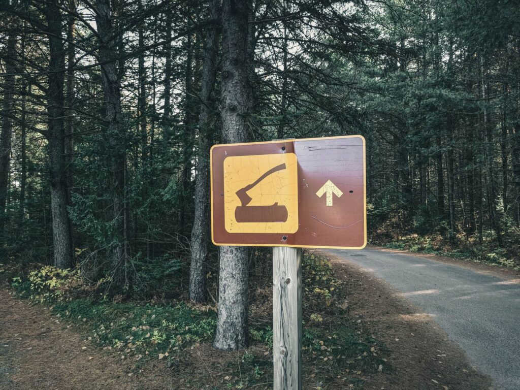
Vehicular access to base camps is strictly quota-controlled, and camping slots must be reserved months in advance through specific in-person or telephone systems. The use of biodegradable soaps in natural water sources, the collection of firewood outside authorized areas, and above all, any practice generating solid waste are strictly prohibited. The ‘Leave No Trace’ principle is applied here with punitive rigor, empowering officials to permanently expel visitors who violate conservation guidelines.
This management philosophy ensures that hikers experience the true solitude and silence of the northern great forests, free from the acoustic and light pollution characteristic of contemporary urban environments. Interaction with local fauna must always take place from a prudent distance, remembering that human beings are temporary guests in the domain of moose, lynx, and bears.
Practical guide
When to go: The optimal window for the traverse spans from July to September, when temperatures are milder and the risk of early snowfall is lower, though summer thunderstorms remain frequent.
How to get there: The main access point for Baxter State Park is the town of Millinocket, located in northern Maine. From there, a network of unpaved logging roads leads to the Togue Pond or Matagamon park entrances.
Permits and regulations: Registration at ranger stations is mandatory before initiating any alpine route. Camping reservations for Roaring Brook or Chimney Pond must be secured months in advance due to strict quotas.
Local transportation logistics: There is no regular public transport within park boundaries. Coordination with authorized local private shuttle services is necessary for transfers from nearby towns to trailhead starting points.
Safety and rescue: Search and rescue operations on Mount Katahdin are complex and slow due to the rough terrain. Having travel insurance covering remote wilderness rescues and carrying a satellite signaling device is indispensable.
The Echo of the Deep Forest and the Walker’s Memory
When the traverse reaches its end and the hiker rests a hand upon the wooden sign crowning Mount Katahdin, the fatigue accumulated in every muscle fiber transforms into profound inner stillness. The vastness of Maine’s forests stretching to the horizon offers a unique perspective on human insignificance against the relentless grandeur of wild nature. No material trophies remain, only the silent testimony of having walked with respect through a sanctuary where time seems measured by the growth cycles of century-old fir trees.
Blisters will heal, muscles will recover their usual tone, and backpacks will return to closet storage, but the rhythmic pulse of marching over damp granite and the persistent aroma of resin and wet earth will remain engraved in memory as an internal compass. In the end, great trails do not merely connect geographical points on a map; they irreversibly transform the lens through which we inhabit the world, reminding us that true adventure lies in the capacity to advance with humility before the unknown.