
Introduction to Bass Strait and the Furneaux Frontier
Bass Strait, the oceanic corridor separating mainland Australia from the island of Tasmania, has historically been one of the most unforgiving maritime stretches in the Southern Hemisphere. Amidst this expanse of fierce gales and converging currents lies the Furneaux Archipelago, a cluster of over fifty islands and islets where Flinders Island stands as the largest inhabited core. The connectivity of this insular territory does not conform to the logics of urban modernity, but rather to a complex intermodal system where economic and social survival relies on a meticulous choreography between coastal shipping, short-range regional aviation, and a precarious network of terrestrial infrastructure.
To understand how people, freight, and medical supplies move across this oceanic outpost, it is necessary to examine the geomorphological conditions dictating the daily rhythm of its residents. Shallow marine shelves, submerged granite reefs, and dominant westerly winds impose severe restrictions on mobility. Far from being a mere technical hurdle, transport in the Furneaux Islands is a discipline of cultural resilience and environmental adaptation, where every outbound journey is planned with careful attention to both weather forecasts and the strait’s spring tides.
The Schooner Route and Maritime Freight Transport
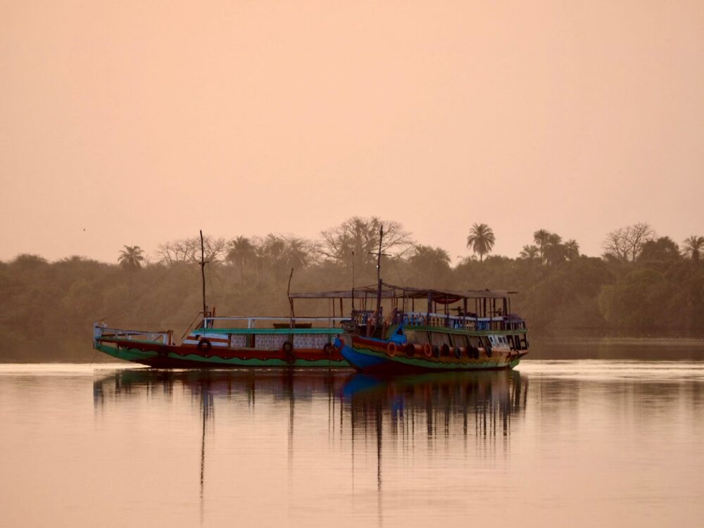
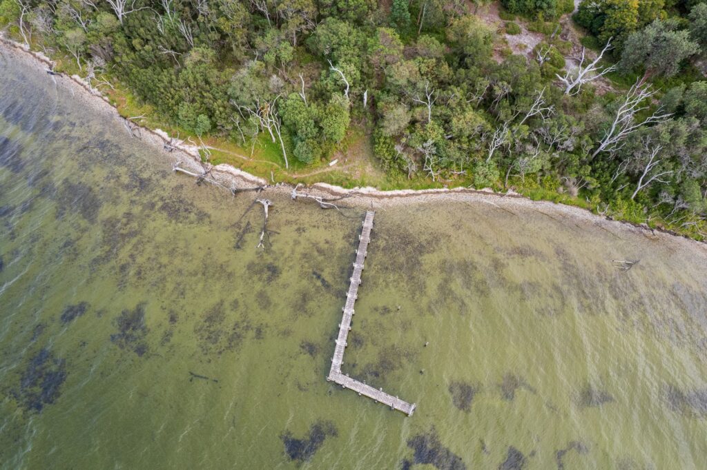
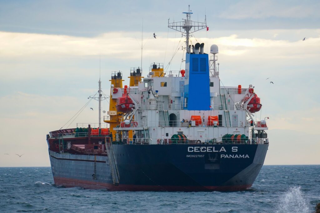
The provisioning of heavy goods to Flinders Island and its smaller neighbors, such as Cape Barren Island, rests upon a modest yet vital fleet of coastal cargo vessels and modernized schooners. These ships operate from mainland ports such as Bridport and George Town in Tasmania, braving a journey of approximately ten hours across waters where waves can exceed six meters in height without warning. Port infrastructure within the archipelago is extremely limited; the main wharf at Whitemark lacks deep drafts, forcing captains to time their dockings with absolute precision according to the tidal cycle.
Aboard these vessels, everything from agricultural machinery and vehicles to construction materials and fuel is transported. The maritime logistics of Bass Strait operate under a principle of radical self-sufficiency. Delays caused by multi-day winter storms are routine, demonstrating the vulnerability of a supply chain that leaves no room for error. The crews, composed of mariners experienced in local dynamics, act as the true umbilical cord keeping the rural and fishing communities of the islands alive.
Airstrip Networks and High-Frequency Aviation
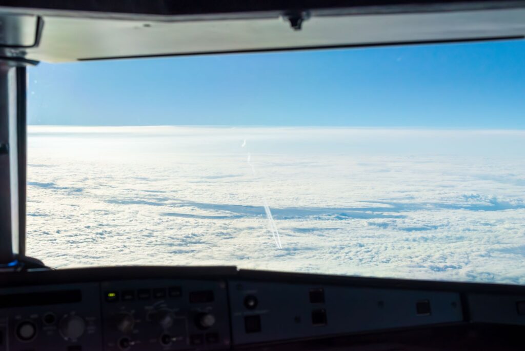
When the strait’s sea becomes impassable, the Furneaux skies become the sole escape route and lifeline. Flinders Island Aerodrome, situated near Whitemark, and secondary grass and rock airstrips across other islands in the archipelago support a steady stream of twin-engine light aircraft. These small planes not only carry emergency passengers, but also urgent mail, medical samples, and perishable goods that cannot endure the long transit times of cargo ships.

Regional aviation in Bass Strait is not a corporate luxury, but the fundamental public service guaranteeing territorial equity and healthcare access against the geographic tyranny of isolation.
Pilots operating on this route face extreme crosswinds and sudden fog banks rolling down from the granite peaks of Mount Strzelecki. The airstrips, many lacking advanced instrumental landing aids, rely on human sight and exhaustive knowledge of local topography. This visceral dependence on light aviation underscores the structural fragility of the archipelago, where any disruption in aviation fuel supplies instantly paralyzes connectivity with Launceston and Melbourne.
Terrestrial Networks: Granite Roads, Dust, and Loess
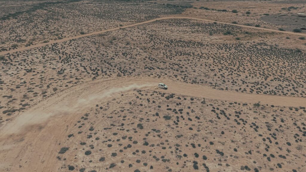
Once ashore within the archipelago, the road network presents a highly peculiar technical profile. There are no highways or major asphalt corridors; the terrestrial transport system consists of a mesh of precariously paved secondary roads and an extensive network of dirt tracks, consolidated sand, and granite-derived gravels. These routes support the daily transit of livestock trucks, local farmers’ four-wheel-drive vehicles, and the few tourist transports exploring coastal enclaves.
Maintaining these road infrastructures represents a constant budgetary challenge for local authorities. Autumn and winter torrential rains easily erode slopes and generate deep potholes, while long summer dry spells kick up loess dust clouds that drastically reduce visibility. Driving across the Furneaux Islands demands all-wheel-drive vehicles and defensive driving against the occasional presence of native wildlife, such as wallabies and wombats, which cross major routes unannounced at dusk.
Community Transport and Mobility on Cape Barren Island
If Flinders Island’s connectivity is already complex, the situation on Cape Barren Island reaches an even higher degree of isolation. Inhabited by an Indigenous community with deep historical roots in the strait, this island relies on an extraordinarily austere transport infrastructure. Maritime communications are maintained via rigid-hulled inflatable boats or small community fishing vessels crossing the perilous waters of Franklin Sound, a narrow channel dotted with treacherous reefs and violent tidal currents.
Cape Barren’s airstrip is a packed-earth strip where only authorized light aircraft operate under strictly favorable weather conditions. Internal mobility for residents relies on a minimal network of sandy tracks where vehicles must contend with salt corrosion and a lack of specialized mechanical workshops. This scenario demonstrates that connectivity across the archipelago is far from homogeneous, fragmenting into concentric circles of vulnerability where smaller islands bear the heaviest costs of isolation.
Fishing and Agricultural Export Logistics
The economy of the Furneaux Islands relies on the export of high-quality primary products, prominently sheep and cattle farming, wool production, and the artisanal harvesting of rock lobster (crayfish) and abalone. The logistics chain responsible for moving these goods to metropolitan markets in Melbourne and Sydney requires flawless synchronization among local road haulers, cargo schooners, and freight flights. A failure in any of these links can ruin entire harvests or compromise the freshness of seafood catches.
Local fishers operate from sheltered coves using vessels equipped with live-seawater tanks that keep shellfish alive until transshipment to refrigerated trucks at mainland ports. This precision logistics operates against the clock, demonstrating a remarkable capacity for technological adaptation in an environment where energy resources are limited and transport costs act as a permanent tax on insular competitiveness.
Practical guide
How to get there: Access to the archipelago is primarily achieved via scheduled flights operated by regional airlines from Launceston or Flinders Island Airport, or via maritime cargo transport from the port of Bridport in Tasmania.
When to travel: The period between December and March offers the most stable weather conditions, featuring less intense winds and lower probability of storms forcing flight and ferry cancellations.
Internal transport: Renting a 4×4 vehicle with unlimited mileage and reinforced tires is essential, given the abrasive and rocky nature of the islands’ secondary roads.
Accommodation: Hotel supply is scarce and concentrated around Whitemark and Lady Barron; advance booking months ahead is mandatory, as is respecting local establishments’ sustainable waste and water management.
Health and safety precautions: Mobile communications suffer severe dropouts outside urban centers. Carrying satellite communication devices, constantly checking Australian Bureau of Meteorology forecasts, and exercising extreme caution in coastal areas exposed to heavy swells are highly recommended.
The Slow Rhythm of the Southern Wind and the Tide’s Memory
In the Furneaux Islands, time is measured not in minutes or hours, but in the relentless cadence of Bass Strait’s tides and the shifting direction of the winds sweeping across the granite hills. For the traveler who manages to overcome the barriers of its complex logistics, the archipelago reveals a profound truth: modern connectivity is a fragile urban illusion that vanishes the moment one sets foot in the oceanic confines of the planet. Here, survival and travel remain bound to the unalterable laws of southern nature, reminding us that respect for the environment and patience are the only valid passports to explore the edges of the inhabited world.