
Introduction to the Honduran Insular Outpost
At the western edge of the Caribbean Sea, off the northern coast of Honduras, lies the Bay Islands archipelago, an insular chain comprising Roatán, Guanaja, Utila, and a constellation of smaller cays resting upon the second-largest barrier reef system in the world. This topography of volcanic and coral origin, characterized by hills draped in tropical vegetation and impenetrable mangroves, has historically depended on a complex network of intermodal transport to overcome geographic isolation. Far from the major global cruise routes that make fleeting stops at modern piers, the true daily life of these islands is sustained through a delicate balance between flat-bottomed cargo barges, passenger ferries that challenge the swells of the open channel, and smaller vessels connecting traditional fishing communities.
Understanding mobility in this Caribbean territory requires examining the structural tensions between accelerated tourism development and the persistence of centuries-old nautical infrastructure. While local airports adapt their runways to receive narrow-body aircraft from Central America and North America, the supply of provisions, construction materials, and fuel continues to rely almost entirely on coastal maritime cabotage. Each voyage between the mainland and the islands highlights the logistical vulnerability of a protected marine ecosystem, where the interaction between ocean currents, seasonal hurricanes, and the obsolescence of primary docks paints a picture of constant human adaptation against the fury of the sea.
The Lifeline of the Channel: Ferries and Passenger Traffic
The maritime connection between the mainland port of La Ceiba and the islands of Roatán and Utila forms the backbone of human movement in the region. The fleets of high-speed passenger ferries operating this route face daily the unpredictable conditions of the Gulf of Honduras, where trade winds and winter cold fronts, locally known as nortes, can interrupt journeys without warning. These vessels are not mere tourist transport mediums, but vital social arteries carrying everything from daily commuters to university students and medical personnel moving between insular administrative centers and the mainland.
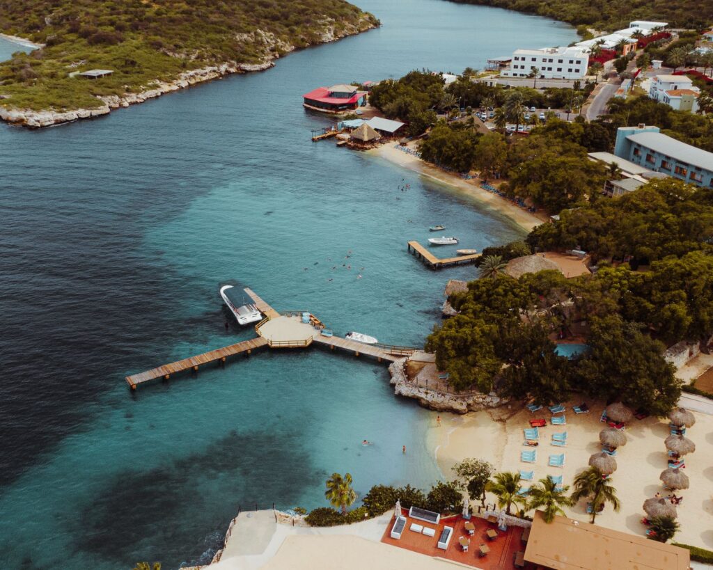
Operations at the boarding docks reveal a logistical choreography highly dependent on the tide and the condition of port defenses. In Utila, where shallow access channels limit the draft of vessels, docking maneuvers demand pinpoint precision from captains, who must contend with crosscurrents constantly threatening the integrity of timber and concrete structures. This scenario repeats itself with distinct nuances in Roatán, where the ports of Coxen Hole and French Harbour concentrate the majority of passenger flow, forcing port authorities to continuously modernize access control systems and reception terminals to prevent congestion during peak holiday seasons.
The Caribbean Sea is not a static route; it is a shifting territory where every wooden dock and steel hull negotiates its daily survival against the rigor of oceanic currents.
Cargo Barges: The Economic Pulse of the Archipelago
If passenger ferries represent human mobility, cargo barges and minor cabotage vessels embody the material subsistence of the Bay Islands. Virtually all products consumed in Roatán, Guanaja, and Utila—ranging from fresh produce grown in the Sula Valley to all-terrain vehicles and liquefied gas—enter through the Puerto Gaviota cabotage terminal or secondary piers in Coxen Hole. These general cargo ships, recognized by their open decks crowded with containers and construction materials, operate under a cabotage navigation regime that prioritizes resilience over speed.
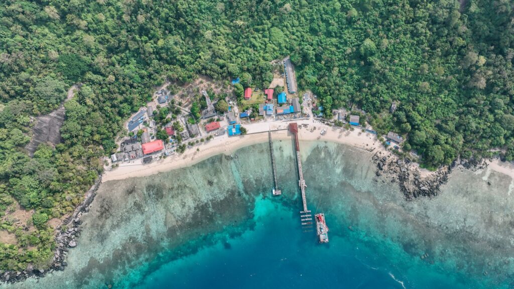
Maintaining this barge fleet faces considerable economic challenges stemming from the high cost of marine fuel and saline corrosion that rapidly degrades metallic structures. Added to this is the complexity of unloading in the most remote cays, where the absence of deep-water docks forces transshipment maneuvers onto smaller boats or the construction of improvised floating walkways. This reliance on such a fragile cargo logistics chain exposes the islands to sporadic shortages whenever adverse weather conditions force the harbor master’s office to suspend commercial navigation.
Regional Aviation: Short Runways and Aerial Connectivity
Complementing maritime transport, airport infrastructure plays a strategic role for territorial integration and high-end tourism economics. The Juan Manuel Gálvez International Airport in Roatán, along with smaller facilities in Utila and Guanaja, acts as the air bridge shortening distances with major hubs in Tegucigalpa, San Pedro Sula, Miami, and Houston. However, operating in these insular airports entails notable technical challenges derived from rugged topography and the proximity of coral reefs to runway thresholds, strictly limiting the types of authorized aircraft.
Regional airlines operating high-wing turboprop aircraft are primarily responsible for maintaining territorial continuity when maritime storms paralyze ferry traffic. Nevertheless, airspace congestion during holiday seasons and the vulnerability of navigation aids to local power outages underscore the need to reinforce night lighting systems and air traffic management. Aerial connectivity, far from being a guaranteed service, operates as a high-precision resource subject to the meteorological rigor of the western Caribbean.
The Secondary Network of Cays: Canoes, Skiffs, and Fiberglass
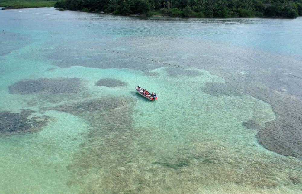
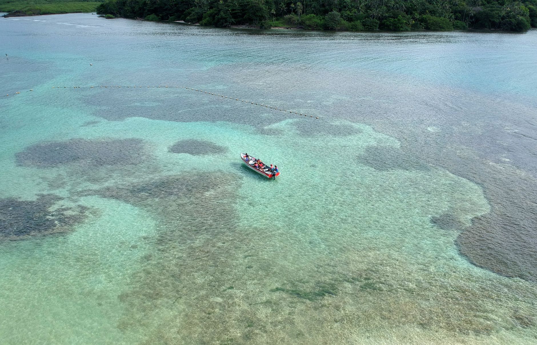
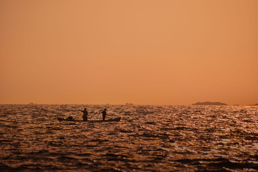
Beyond main commercial routes, the true human scale of the archipelago is experienced through inter-island travel in fiberglass skiffs powered by outboard motors. Cayos Cochinos, the Guanaja archipelago, and the countless inhabited cays surrounding Roatán depend on these lightweight vessels for school transport, emergency healthcare, and the commercialization of artisanal fishing. Local captains, true experts in the labyrinthine channels formed by coral reefs, navigate by reading the changing hues of the water, an ancestral knowledge passed down through generations.
This minor cabotage mobility currently faces profound transformation amid soaring fossil fuel prices and the need to adopt stricter environmental regulations to protect the fragile marine ecosystem. Garifuna and English-creole fishing communities inhabiting these cays witness how traditional wooden canoes have been almost entirely replaced by faster fiberglass hulls, which are nevertheless increasingly dependent on external supply chains for mechanical spare parts and technical maintenance.
Infrastructure Challenges and Climate Change Adaptation
Sea-level rise and the increasing frequency of severe tropical storms are forcing local authorities and transport companies to rethink the design of the archipelago’s entire logistical infrastructure. Traditional docks, built in past decades without climate resilience criteria, suffer recurring flooding during spring tides and severe structural vulnerability following hurricane impacts. This physical vulnerability threatens to sever supply chains precisely when humanitarian aid and emergency transport are most critical for the insular population.
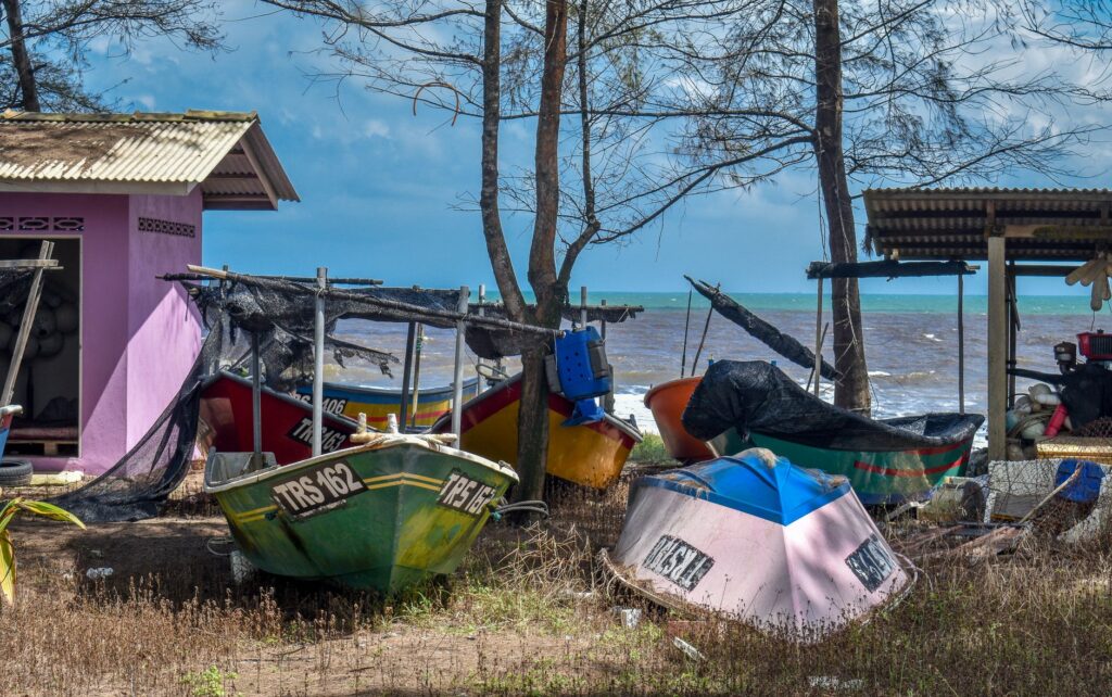
Likewise, waste management generated by maritime transport activity and coastal erosion caused by the dredging of navigation channels represent first-order ecological threats. Community organizations and port engineering experts currently debate the urgency of implementing nature-based solutions, such as mangrove barrier restoration and the redesign of permeable groins that reduce impact on surrounding corals while ensuring long-term commercial navigability.
Practical guide
How to get there: Primary access by air is through Juan Manuel Gálvez International Airport (RTB) in Roatán, with direct flights from North and Central American cities. For maritime access, ferries depart daily from the mainland port of La Ceiba to Roatán and Utila.
When to travel: The dry season, spanning from March to September, offers the most stable conditions for maritime navigation and regional aviation. From October to February, cold fronts or nortes predominate, potentially suspending ferry services temporarily.
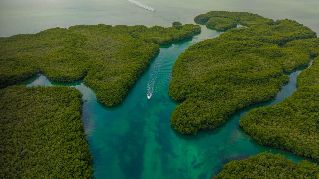
Internal transit: Regular ferry services operate between main islands. To travel to smaller cays and diving spots, private fiberglass skiffs must be chartered with authorized local captains.
Logistical tips: It is essential to verify port authority status in La Ceiba before planning maritime voyages during the rainy season. Carrying cash in Honduran lempiras and US dollars is indispensable, as many minor transport operators do not accept cards.
Epilogue: The Fragile Equilibrium of Navigating Among Corals
In the Bay Islands, movement is not merely an act of physical displacement, but the daily response to an insularity condition imposing its own survival rules. Every cargo-laden barge that sets sail, every flight landing on Roatán’s short runway, and every skiff traversing coral channels draws an invisible map of human resilience. In this Caribbean outpost, where tourist modernity clashes with the harshness of logistical limitations, the future of connectivity will depend on collective capacity to harmonize infrastructure development with the preservation of a fragile marine sanctuary continuing to sustain generations at the mercy of wind and tide.