
Introduction to the Liquid Gorge of the South Pacific
Cook Strait is not merely a strip of water separating New Zealand’s North Island from the South Island; it constitutes one of the most dynamic, unpredictable, and complex maritime gorges in global geography. With a minimum width of barely twenty-two kilometers at its narrowest point between Cape Terawhiti and Cape Jackson, this oceanic corridor acts as the sole heavy intermodal artery capable of uniting the country’s two major landmasses without resorting to air bridges. Here, the turbulent waters of the Tasman Sea collide violently with the deep currents of the Pacific Ocean, generating a system of cross-tides, towering katabatic winds, and weather conditions that shift in a matter of minutes. To understand mobility in this region of Oceania, it is essential to examine the amphibious infrastructure sustaining the daily transit of passengers, rail freight, and heavy goods.
For decades, the crossing between Wellington—the national capital, nestled in an amphitheater of rugged hills on the North Island—and Picton—the gateway to the Marlborough Sounds on the South Island—has been an exercise in technological adaptation and respect for austral nature. The shipping companies operating this route must contend not only with an abrupt submarine topography marked by underwater canyons and rocky ridges, but also with strict environmental regulations protecting the surrounding marine sanctuaries. In this context, transport across Cook Strait represents a fascinating case study in how to maintain the economic and social cohesion of a modern island state against the relentless fury of southern elements.
Naval Engineering Against the Fury of the Elements
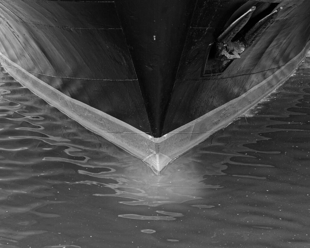
The vessels routinely crossing Cook Strait belong to a specialized lineage of roll-on/roll-off passenger (ro-pax) ferries, designed specifically to withstand the pounding of heavy seas and gale-force winds frequently exceeding one hundred kilometers per hour in the Wellington gorges. The current fleet, operated by both state-owned and private corporations, incorporates advanced stabilization systems, reinforced hulls for navigating turbulent waters, and azimuthing propulsion that enables pinpoint docking in narrow, exposed ports such as Picton and Wellington Harbour.
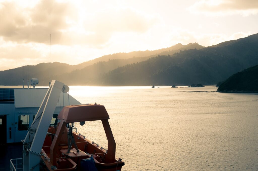
The technical complexity lies not only in open-sea navigation, but in intermodal integration with the South Island railway system and the North Island road networks. The ferries are equipped with reinforced lower decks capable of receiving complete freight rail cars, which are loaded via complex hitching maneuvers at terminals equipped with hydraulic ramps that adjust to the rhythm of the tides. This constant transfer of weight requires a meticulous calculation of the vessel’s center of gravity before setting sail, as a shifting cargo improperly secured during a crossing with six-meter waves could compromise ship stability in the middle of the strait.
Cook Strait tolerates no improvisation; every crossing is a calculated negotiation between the power of human engineering and the indomitable fickleness of the southern ocean.
The Geopolitics of Ports: Wellington and Picton as Hinges
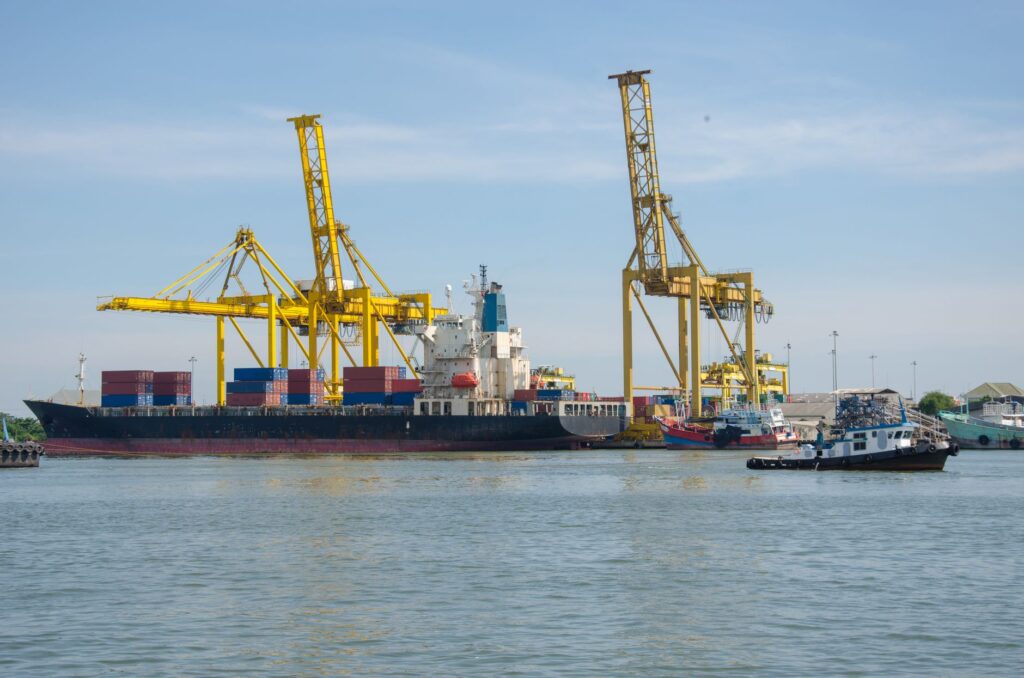
On both sides of the strait, port infrastructure functions as a critical gear sustaining the national supply chain. At the northern end, the Port of Wellington operates as the logistical and administrative node where national highways and the North Island’s main trunk railway converge. Port facilities have undergone profound transformations over the years to adapt to the steady increase in transported freight tonnage, incorporating automated maritime traffic control systems and staging areas for heavy commercial truck fleets awaiting their boarding slots.
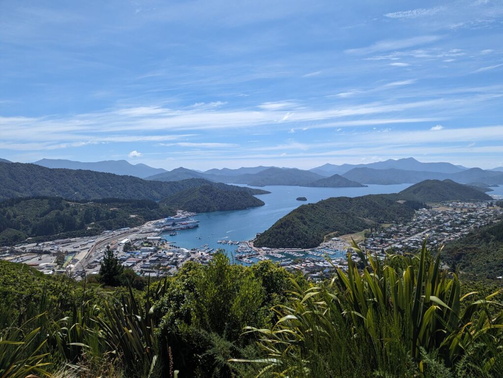
On the opposite shore, the small settlement of Picton daily transforms into the receiver and emitter of thousands of tons of agricultural produce, Marlborough wine, timber, and livestock. The arrival of the ferry sets the rhythm of life in this port village, where urban infrastructure has had to coexist harmoniously with the necessity of processing a massive flow of tourist and commercial vehicles without congesting local roads winding toward Blenheim and the interior valleys. Territorial planning in Picton is an exercise in constant balancing between maritime industrial development and the preservation of the idyllic landscape of the sounds.
The Meteorological Factor: When the Wind Writes the Schedules
No analysis of transport in Cook Strait would be complete without addressing the decisive impact of meteorology. The geographical configuration of the lower North Island, with its channeling hills, acts as a giant nozzle accelerating northwesterly and southerly winds, creating conditions of wind shear and choppy cross-seas particularly perilous for smaller vessels. Ferry captains rely on high-precision coastal weather stations and oceanographic numerical prediction models to decide whether it is prudent to set sail or preferable to anchor in sheltered waters until the gale-force gusts subside.
Cancellations and delays are not exceptional anomalies, but expected variables within the strait’s operating model. This climatic vulnerability has spurred ongoing debate in New Zealand engineering and transport policy circles regarding the long-term viability of alternative projects, such as constructing a fixed link—either an undersea tunnel or a suspension bridge of monumental proportions. However, the enormous active fault lines crossing the strait’s seabed, coupled with the region’s high seismicity, continue to advise against any fixed infrastructure, consecrating the marine ferry as the sole viable and resilient solution.
The Energy Transition on the Blue Route
In recent years, the pressure to reduce the carbon footprint along one of the most heavily trafficked maritime routes in the southern hemisphere has forced shipping lines to rethink their energy sources. Although the transition toward fully electric fleets remains a technological challenge due to the enormous distances and power required to overcome the strait’s currents, hybrid propulsion systems and the use of lower-impact marine fuels have already been implemented.
New fleet renewal projects contemplate the integration of dual-fuel engines capable of operating on liquefied natural gas (LNG) and advanced biofuels, laying the groundwork for cleaner navigation. Likewise, the ports of Wellington and Picton have invested in shore power supply infrastructure (known as cold ironing technology), enabling ferries to shut down their auxiliary diesel engines while docked, drastically reducing polluting emissions and noise in urban waterfront environments.
Practical guide
How to reach the terminals: The Interislander terminal in Wellington is situated at Aotea Quay, directly accessible from State Highway 1. In Picton, the maritime station is located in the heart of the town, immediately connected to the Coastal Pacific railway network.
Frequency and duration: Crossings operate year-round with multiple daily departures. The estimated sailing time ranges between 3.5 and 4 hours, depending on weather conditions and vessel type.
Advance booking: During the austral summer peak season (December to February), demand for vehicle and passenger space surges. Advance booking months ahead is mandatory to secure spots at preferred times.
Baggage and cargo policies: Foot passengers have spacious seating areas and onboard amenities available, while commercial vehicle drivers must present valid phytosanitary and weight documentation before accessing boarding lanes.
Visual Epilogue Over the Waters of Marlborough
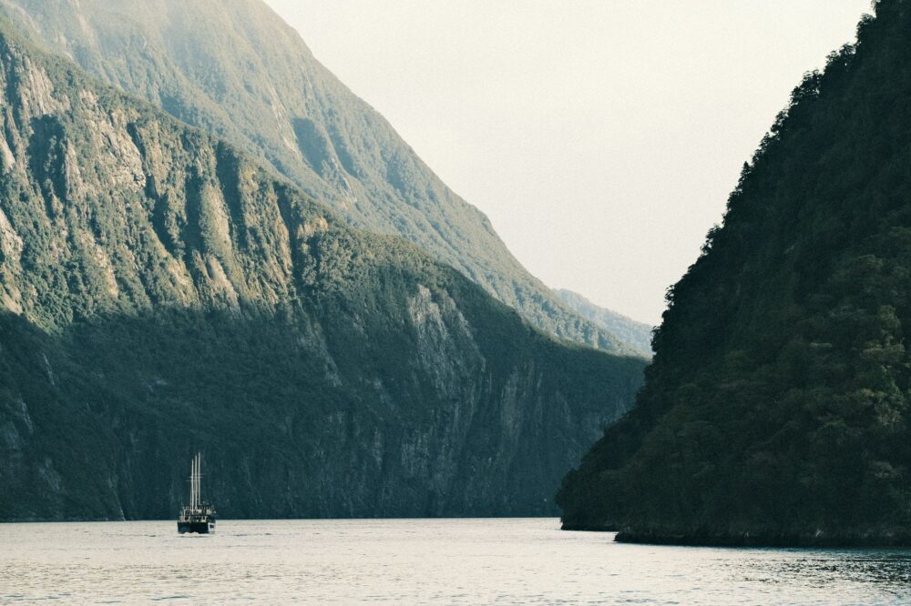
When the ferry finally departs the hustle and bustle of Wellington and ventures into the open waters of the strait, the exterior landscape undergoes a radical metamorphosis. The urban silhouettes of the capital dissolve into marine mist, and the mountain ridges of the Kaikoura Peninsula begin to loom on the southern horizon like rocky ramparts. As the vessel glides gracefully into the sheltered fjords of the Marlborough Sounds, the tension accumulated during the crossing of turbulent currents dissipates, revealing the profound stillness of a natural sanctuary where water, land, and human engineering converge in a fragile, timeless equilibrium.