
At the southernmost tip of the Americas, where the continent unravels into a labyrinth of fjords, channels, and temperate rain forests, water does not divide—it unites. In the Chiloé archipelago, geography imposes an amphibious condition that has compelled its inhabitants to master the art of minor navigation since pre-Columbian times. Today, this insular pulse is sustained by a fleet of ferries operating as floating bridges, daily defying one of the most violent and complex tidal dynamics in the Southern Hemisphere. This report explores the engineering, logistics, and daily life surrounding the maritime routes connecting the grand island to the mainland and its smaller satellites.
The history of navigation in Chiloé is inextricably linked to timber and isolation. Before the arrival of diesel engines and modernized steel hulls, local shipwrights crafted vessels from native woods such as alerce, cypress, and tepa. Although metallic structures now predominate, the operational philosophy remains imbued with a profound seafaring tradition. Each crossing across the Chacao channel or toward Quinchao and Lemuy islands represents a lesson in adaptation to a dynamic marine environment, marked by currents exceeding nine knots and hurricane-force winds descending without warning from the Andes.
The Geography of the Chacao Channel and Extreme Currents
The Chacao channel is the geographical bottleneck separating mainland Chile from the Big Island of Chiloé. Ranging between two and eleven kilometers in width, this marine throat acts as a natural tide accelerator. The constant clash between Pacific Ocean waters and the Reloncaví sound generates severe currents, underwater backwashes, and unpredictable whirlpools that test the skill of captains and crews. Navigating here is not merely about steering a straight line; it requires reading the water, calculating timings with millimetric precision, and understanding seabed behavior.
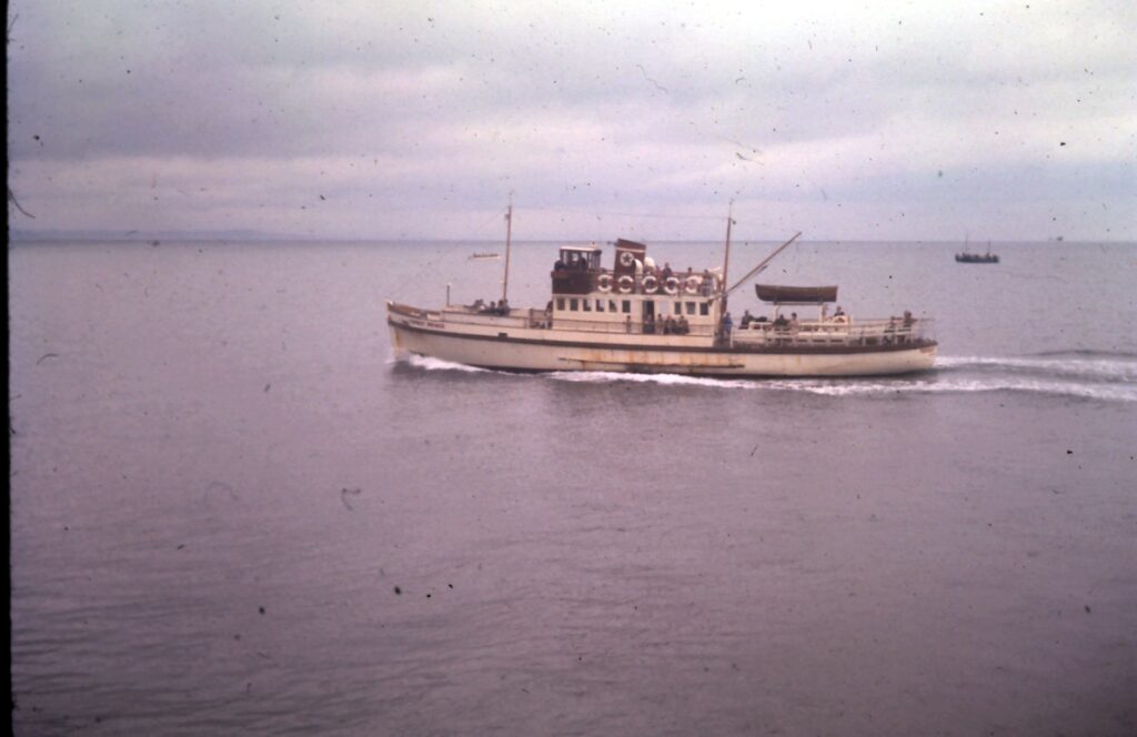
Harbor masters and shipping companies operating in the area rely on complex oceanographic measurement systems to authorize sailings. Modern double-ended ferries, designed to avoid turning maneuvers in confined spaces, must compensate for lateral leeway caused by moving water. The engineering of these vessels prioritizes stability over speed, ensuring that heavy cargo trucks and local passengers cross safely even during the harshest winter days, when fog reduces visibility to mere meters.
Naval Architecture Adapted to the Inland Sea
Unlike deep-draft ocean ferries, vessels operating in the Chiloé channels correspond to a very specific typology. Their design must incorporate reinforced hydraulic ramps capable of supporting the weight of forestry trucks and intercity buses, alongside a shallow draft allowing operation at docking ramps exposed to dramatic tidal ranges. Tidal oscillation in Chiloé can reach six meters between high and low tide, demanding perfect synchronization between port infrastructure and vessel structure.
In local shipyards and dry docks in Puerto Montt and Ancud, maintenance work is constant. Saline corrosion and mechanical wear on azimuthal propulsion systems require rigorous overhauls. Wood, though displaced in main hulls, remains alive in interior joinery details and pier fenders, recalling that technical self-sufficiency has historically been a matter of survival in this insular corner isolated from the country’s major industrial hubs.
Invisible Connectivity: Beyond the Main Channel
While the Chacao crossing captures media attention due to the eternal debate surrounding the construction of a suspension bridge, the archipelago’s true survival network extends eastward and southward. Small ferries and passenger launches connect the Big Island with Achao on Quinchao Island, and with the islands of Lemuy, Caguach, and Tahuén. These secondary routes serve as the umbilical cord enabling fuel supply, transport of local agricultural products like native potatoes and garlic, and patient transfers to higher-complexity medical centers.
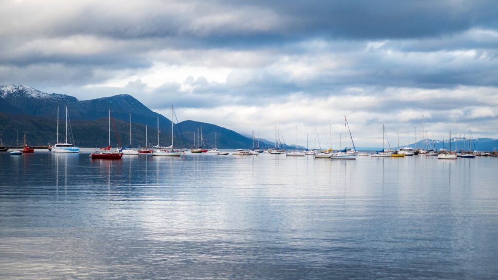
Along these secondary routes, the relationship between passengers and crew acquires a deeply communitarian nuance. Ferries function as floating living rooms where local news is exchanged, harvests are planned, and market prices are debated. Punctuality here is measured not merely by clocks, but by the capacity to respond to medical emergencies and unforeseen shifts in southern weather, demonstrating that transport infrastructure is, above all, a social fabric.
The Economy of the Tide: Commerce, Cargo, and Tourism
Reliance on maritime transport conditions Chiloé’s entire economy. Every ton of harvested salmon from farming sites, every truckload of native timber, and every food supply must cross by water. This generates a complex logistical chain where any service interruption due to storms causes temporary shortages and significant economic losses. Ferry operating companies must balance commercial profitability with their role as an essential public service.
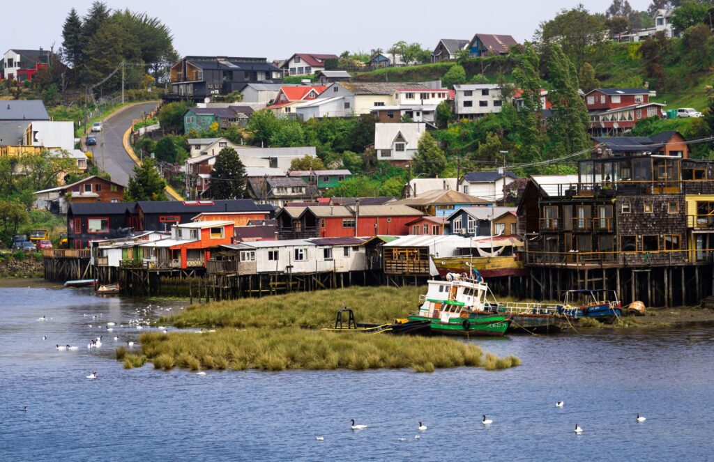
In parallel, tourism has transformed the profile of transported cargo. During summer months, thousands of private vehicles and motorhomes occupy the decks, seeking access to UNESCO World Heritage churches, Castro’s palafitos, and the forests of Chiloé National Park. This seasonal influx pushes boarding ramp capacity to its limits, forcing authorities to plan road traffic management strategies that prevent gridlocks on approach roads.
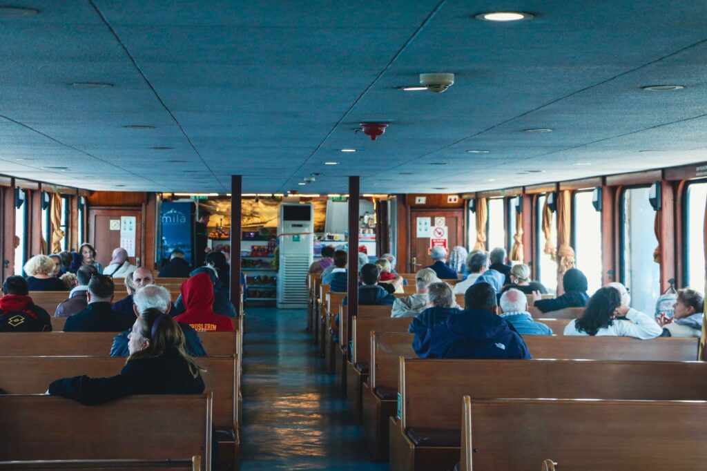
Oral Memory and Seafaring Lore
Behind every radar screen and high-power diesel engine lies an oral transmission of knowledge inherited by veteran boat masters from generation to generation. In Chiloé, the sea teaches its own codes: the direction of breakers, the way gulls gather before a storm, and the dull murmur of conflicting currents. Young mariners training in nautical schools recognize that official certification must be complemented by practical experience handed down by the old sea wolves of the channels.
The sea in Chiloé is never conquered; it is respected and accompanied. Each crossing is a fragile pact between human technique and the untamed fury of southern currents.
This ancestral wisdom also safeguards safety in extreme situations. When electronic systems fail or coastal power supplies collapse due to storms, manual expertise and empirical knowledge of inland waters remain the most reliable safeguard aboard the ferries.
Technological Challenges and Sustainability in the Fjords
The future of transport in Chiloé faces a technological and environmental crossroads. With increasing demographic pressure and growing heavy traffic, shipping companies seek to modernize fleets by incorporating lower-consumption engines and hybrid or electric propulsion systems to reduce carbon footprints in an ecologically vital marine ecosystem. Transitioning to cleaner fuels is an ethical imperative in a region where communities depend directly on inland water health for artisanal fishing and mussel farming.
Likewise, integrating real-time user information systems has improved travel predictability. Mobile applications and roadside information panels now allow users to check sailing status and estimated waiting times, reducing uncertainty that characterized island travel for decades. Nonetheless, insular nature continues to impose its own rules, reminding us that modern technology is merely a tool in the service of seafaring prudence.
Practical guide
How to get there: Main access to Chiloé is achieved by land to the town of Pargua, located about 50 kilometers southwest of Puerto Montt. From there, boarding ferries crossing the Chacao channel to the Chacao terminal on the Big Island is mandatory.
Operators and frequencies: Ferries operate year-round with frequencies varying between 15 and 30 minutes during daytime, and continuous departures overnight. Main shipping companies providing continuous service include Cruz del Sur, Transmarchilco, and Conosur.
Secondary routes: To explore the minor archipelago, regular services operate from Dalcahue to Quinchao Island (La Estancilla), and from the port of Punta Arenas de Chiloé to Lemuy Island. Checking local schedules is recommended, as they vary according to tidal coefficients.
Travel tips: Plan travel times considering potential delays during summer months (January and February) or adverse weather conditions in winter. Always carry warm, waterproof clothing, as outer deck areas are typically exposed to Patagonian winds.
Safety requirements: Strictly follow crew instructions during vehicle boarding and disembarking. Turn off your car engine once parked on deck and remain attentive to emergency signals.
The sun begins to descend slowly behind the dark profiles of the Coastal Range, casting a mantle of copper and leaden tones over the waters of the Chacao channel. On the ferry’s outer deck, the cold wind strikes forcefully, fluttering flags and carrying the saline scent of the inland sea. A group of passengers silently contemplates the distant silhouette of the continental coast, while the steel hull cuts with millimetric precision through the currents flowing from the north. In this suspended instant between two worlds, machine and man act as a single organism, paying daily tribute to the insular vocation of a territory that refuses to surrender to isolation.