
The urgency of escaping toward the mountain
The Mexican labor calendar reserves for the eleventh month of the year a long-awaited respite for those who inhabit the Valley of Mexico. With the official day off arranged around the anniversary of the Mexican Revolution, the extended weekend becomes the perfect window to shake off the urban rhythm without needing to use vacation days. Three full days and two nights away are enough to swap the murmur of traffic for the crunch of dry leaves and the clean air of the high mountains.
Just a few hours from the limits of Mexico City, the abrupt geography of the Trans-Mexican Volcanic Belt deploys an array of communities that have managed to preserve their identity among cloud forests, deep canyons, and rugged peaks. The goal is not to seek the impersonal luxury of a resort, but to tune into territories where hiking and exploration on foot reveal the true scale of the country’s central landscape.
Valle de Bravo and its high-altitude routes above the lake
Located just over two hours and a half west of the capital, Valle de Bravo is much more than its emblematic reservoir and the nautical postcard that attracts ordinary weekenders. For the hiker seeking to escape the bustle of the boardwalk, the slopes surrounding the reservoir offer a network of trails that climb steeply into the pine and oak forests dominating the horizon.
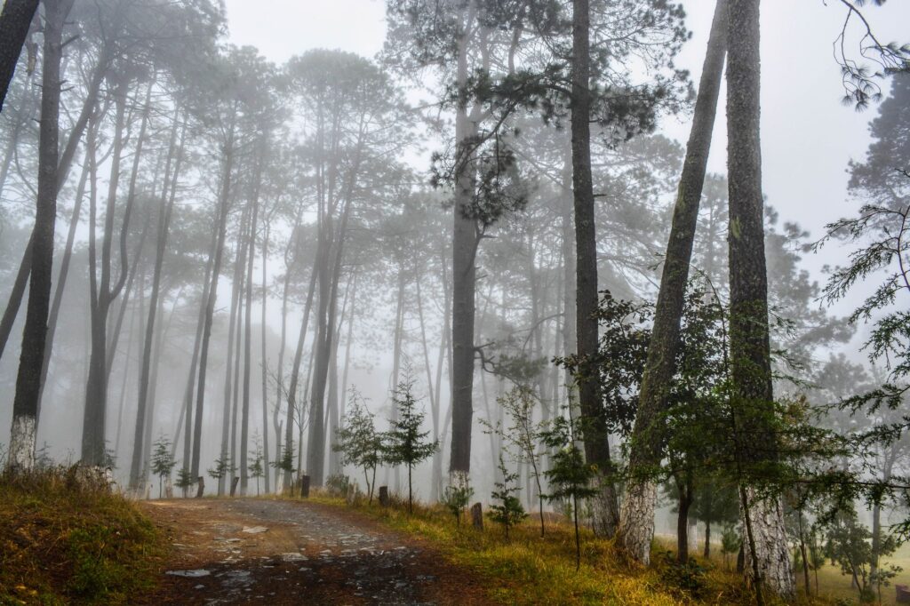
The route toward the Monte Alto area constitutes one of the greatest attractions for those practicing mid-mountain hiking. The terrain demands consistency, with steep slopes winding among exposed roots and a soil carpeted by pine needles. As altitude is gained, the vegetation grows denser and morning mist frequently envelops the treetops, creating an atmosphere of absolute isolation despite the relative proximity to urban centers.
The physical challenge of natural viewpoints
Upon reaching the upper part of the reserve, natural viewpoints allow visitors to contemplate the lake basin in all its breadth. The physical effort is rewarded with an unusual perspective of the State of Mexico landscape, where the blue of the water contrasts with the ochres and dark greens of the mountain range. Local guides recommend starting the trek before eight in the morning to avoid the thermal currents that typically intensify past noon and are utilized by local paragliders.
Hiking in central Mexico is not merely an exercise in physical endurance, but an immersion in the geological and cultural memory of the mountain.
Colonial architecture facing the forest
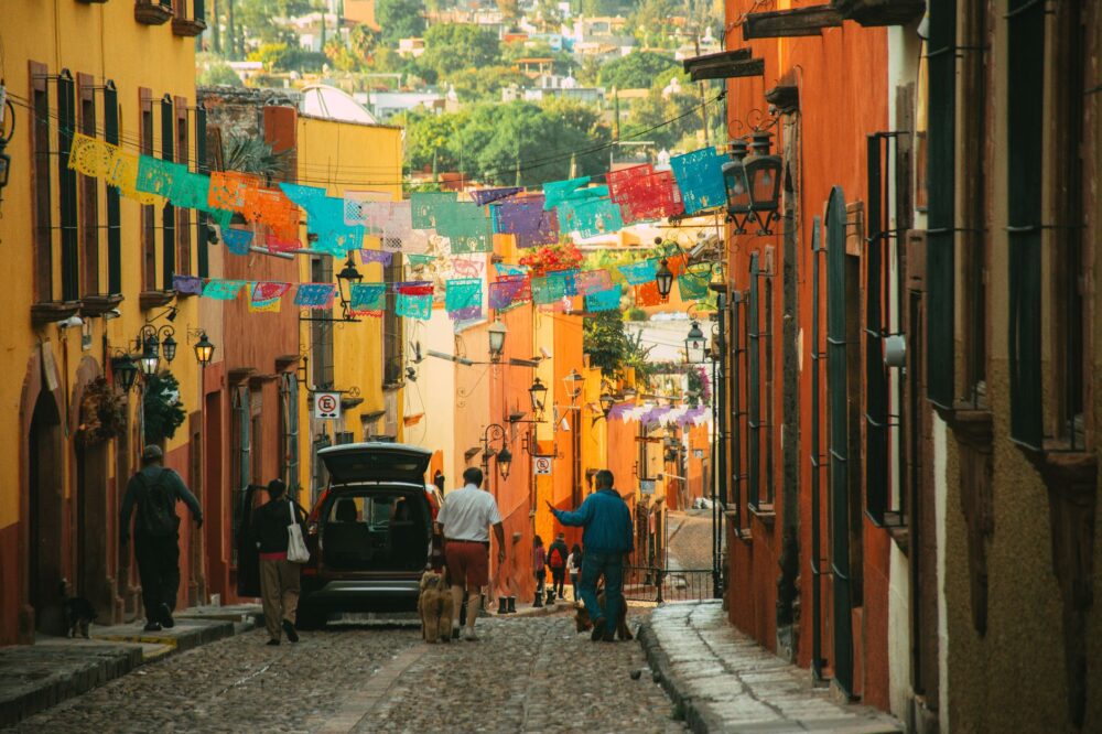
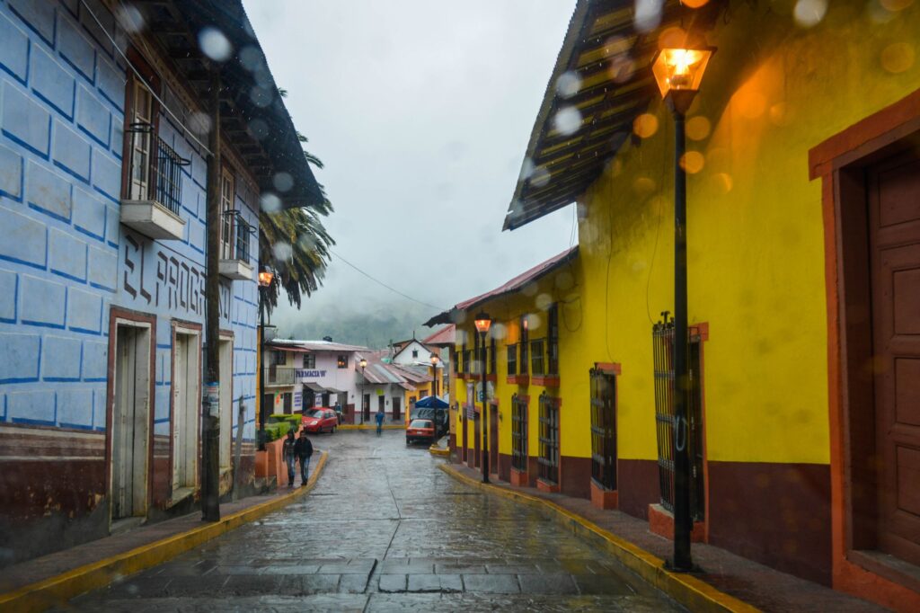
Back in the urban core, the layout of Valle de Bravo retains the rigor of colonial architecture with its sloping clay tile roofs, white walls, and cobblestone streets descending toward the main square. This traditional village acts as a warm refuge after long hours of marching in the open air, offering a striking contrast between the roughness of the forest paths and the serenity of its interior patios.
Malinalco and archaeological vestiges on the cliff
Further south, descending toward a region where the climate turns noticeably milder and vegetation acquires nuances typical of the transition to warmer lowlands, lies Malinalco. This Magic Town is dramatically enclosed in a circus of limestone mountains that seem to jealously guard its pre-Hispanic past.
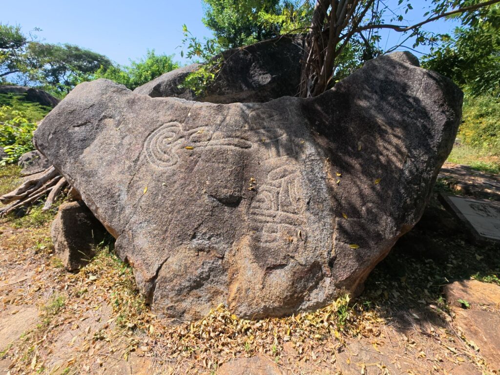
The primary attraction for the active traveler is the ascent to Cerro de los Idolos. The path is not suited for those seeking a relaxed stroll: it is a monumental stairway carved partially into living rock, composed of over four hundred steps that demand constant cardiovascular effort under the direct exposure of the morning sun.
The sacred summit of the ocelot order
At the top, the archaeological site surprises with its singularity. Unlike the large stone metropolises, the main temple is excavated directly into the heart of the mountain, a monolithic sanctuary where eagle and jaguar warriors performed initiation rites before departing for battle. From this perch, the panoramic view encompasses the entire agricultural valley, the colonial rooftops of the town, and the avocado orchards sketching a green mosaic at its feet.
The details of artisanal tradition
Following the descent, the streets of Malinalco invite leisurely exploration allowing visitors to appreciate the work of local artisans. Traditional workshops produce carved wood pieces and textiles with natural dyes, a craft transmitted from generation to generation that keeps the cultural pulse of this community alive in one of the most unique canyons of the State of Mexico.
Tepoztlán and the mythical energy of El Tepozteco
Crossing toward the neighboring state of Morelos, Tepoztlán rises with an unmistakable personality dominated by the basaltic cliff faces of El Tepozteco National Park. This destination is, by its own right, one of the historical epicenters of weekend hiking for residents of the central region.
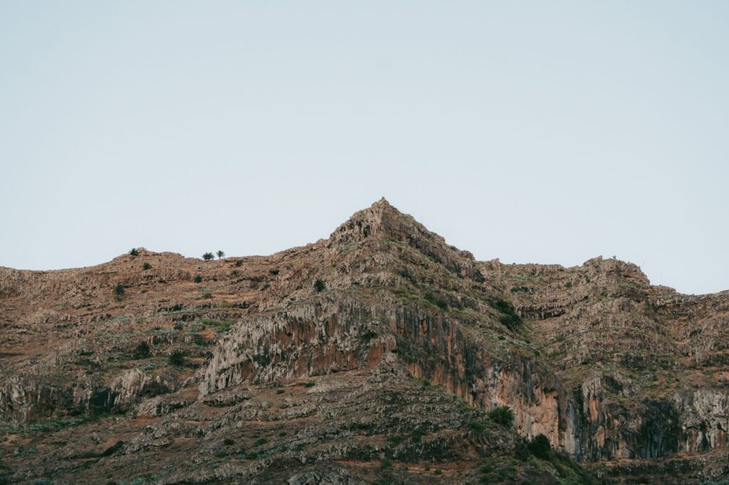
The climb to the El Tepozteco archaeological zone is both a physical and cultural pilgrimage. The trail combines stretches of compacted earth with massive blocks of volcanic rock that must be negotiated using hands and feet in certain sections. The humidity of the low deciduous forest covering the mountain foothills generates a warm and demanding microclimate that tests the hydration and marching pace of any hiker.
The sanctuary at the cliff’s crest
At the end of the ascent, crowning a vertiginous cliff, stands the shrine dedicated to Tepoztecatl, the god of pulque and fertility. The structure, though modest in dimensions, impresses through the audacity of its placement. The rock overhangs offer breathtaking precipices toward the valley, where sheet-metal roofs and ex-convent domes resemble toy models.
- Mandatory use of hiking footwear with high-traction soles due to loose volcanic rock.
- Intermittent signage: visitors are advised to follow painted markers set by local communal landowners.
- Entry with pets is prohibited to protect the endemic fauna of the national park.
The coexistence between myth and daily life
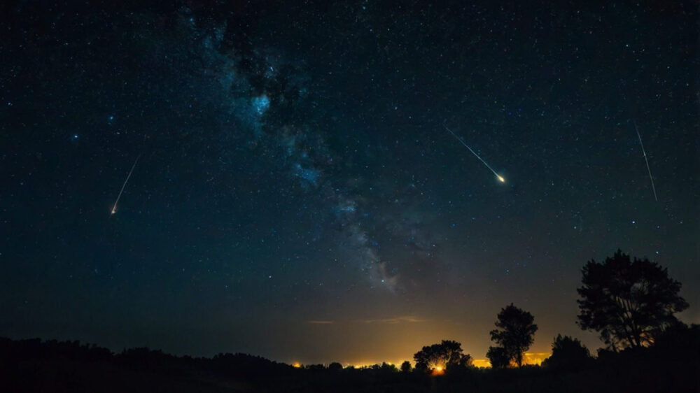
The town vibrates with a particular energy where ancestral Nahua traditions, contemporary mysticism, and a culinary offering based on pre-Hispanic ingredients such as chileatole and wild mushroom tlacoyos coexist. Nights in Tepoztlán, with the dark profile of the mountains cutting against a starryed sky, offer the perfect closure for a day of physical exertion.
Mineral del Chico: the realm of rock formations
Heading northeast, pushing into the state of Hidalgo, the High Sierra conceals one of the best-kept secrets for lovers of vertical adventure and deep-forest hiking: Mineral del Chico. This Magic Town, with a profound mining past, is surrounded by a national park bearing its name that protects thousands of hectares of firs, pines, and capricious basalt rock formations.
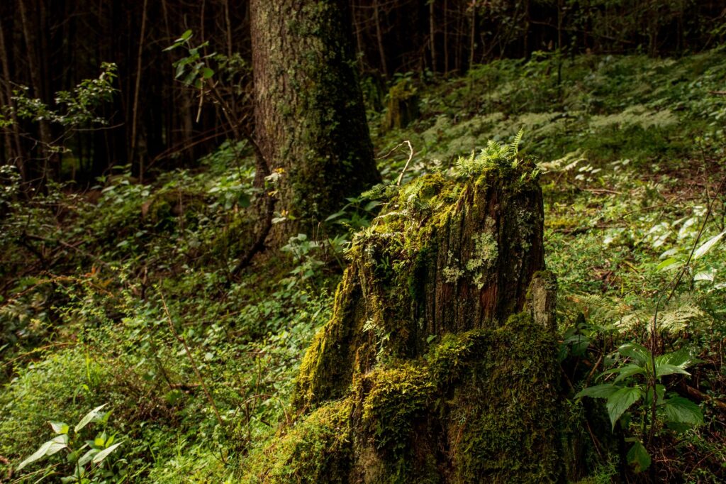
Unlike previous destinations, the relief here is a labyrinth of canyons and monumental crags like Las Ventanas and La Muela, attracting both high-level rock climbers and walkers seeking less congested trails. Hiking routes penetrate canyons where sunlight barely filters through the thick forest canopy, generating an atmosphere of stillness interrupted only by bird song and the cracking of branches.
The true wealth of the Hidalgo sierra lies in its capacity to make the traveler feel diminutive before the imposing scale of its stone monoliths.
The imprint of British mining
The town maintains a very characteristic aesthetic, inherited from the era when British companies exploited silver deposits in the 19th century. Modest facades, narrow streets, and stone chimneys transport visitors to another era, integrating harmoniously with the mountainous environment surrounding it on all four sides.
Practical guide
Planning a three-day getaway during the November long weekend requires anticipation, given that vehicular influx toward these four destinations typically increases markedly from Friday afternoon.
How to get there
The most efficient option to tour any of these four Magic Towns is using a private vehicle, which affords flexibility to access trailhead parking areas. Valle de Bravo and Malinalco are located toward the west and south of the State of Mexico using the Toluca-Mexico highway or La Marquesa-Lerma route. Tepoztlán is reached via the Sun Highway toward Cuernavaca, turning off at the Tepoztlán toll booth. Mineral del Chico requires taking the Mexico-Pachuca highway and continuing along the Mountain Corridor toward Mineral del Monte and El Chico.
Safety and equipment recommendations
It is essential to carry adequate hiking gear: boots with ankle support, retractable poles to protect knees on steep descents, a lightweight raincoat in case of atypical downpours, and sufficient water and electrolyte reserves. Temperatures in the high mountains drop drastically after sunset, requiring layered thermal clothing.
The echo of the mountain upon returning
When the long weekend draws to a close and the lights of the return highway begin to outline the contour of the Valley of Mexico, the body feels the accumulated effort on rock and earth slopes. Remaining in memory is the texture of colonial walls, the silence of cloud forests, and the vastness of valleys contemplated from the summit. The November long weekend proves that crossing borders is unnecessary to find adventure; it is enough to lift one’s gaze toward the sierra and dare to walk the trails guarding the secret history of the central altiplano.
Source: Alan x el Mundo (https://alanxelmundo.com/a-donde-ir-este-puente-de-noviembre-cerca-de-cdmx)