
Introduction to the Coastal Labyrinth of the Indian Ocean
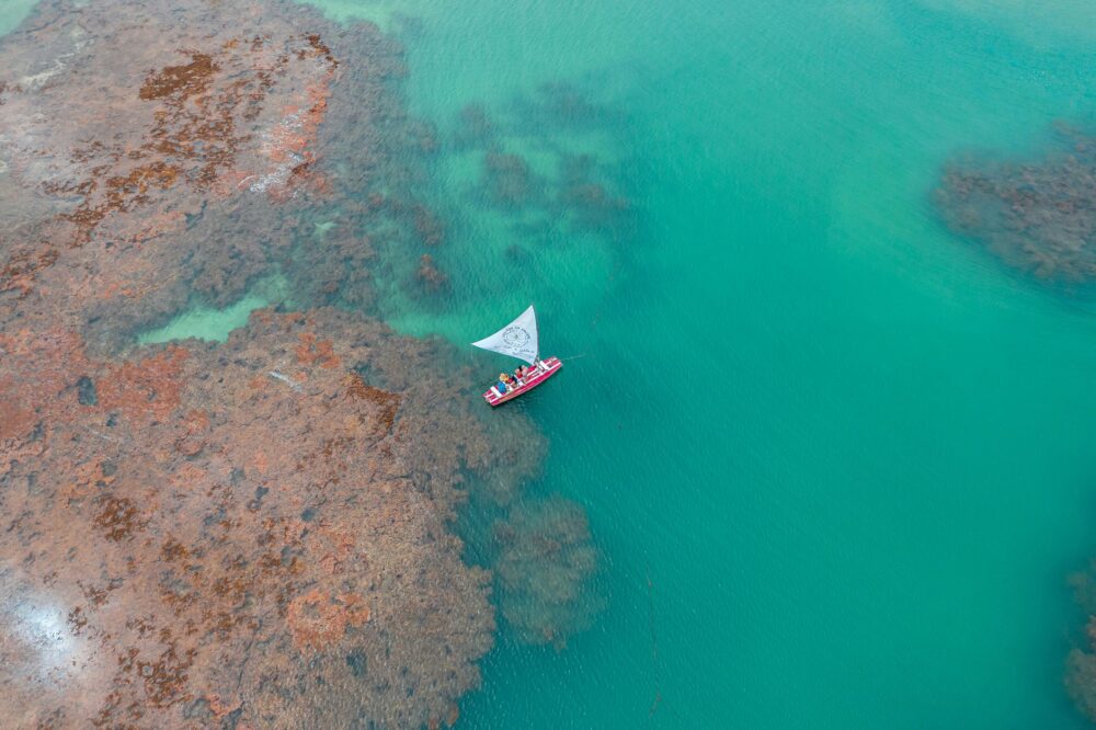
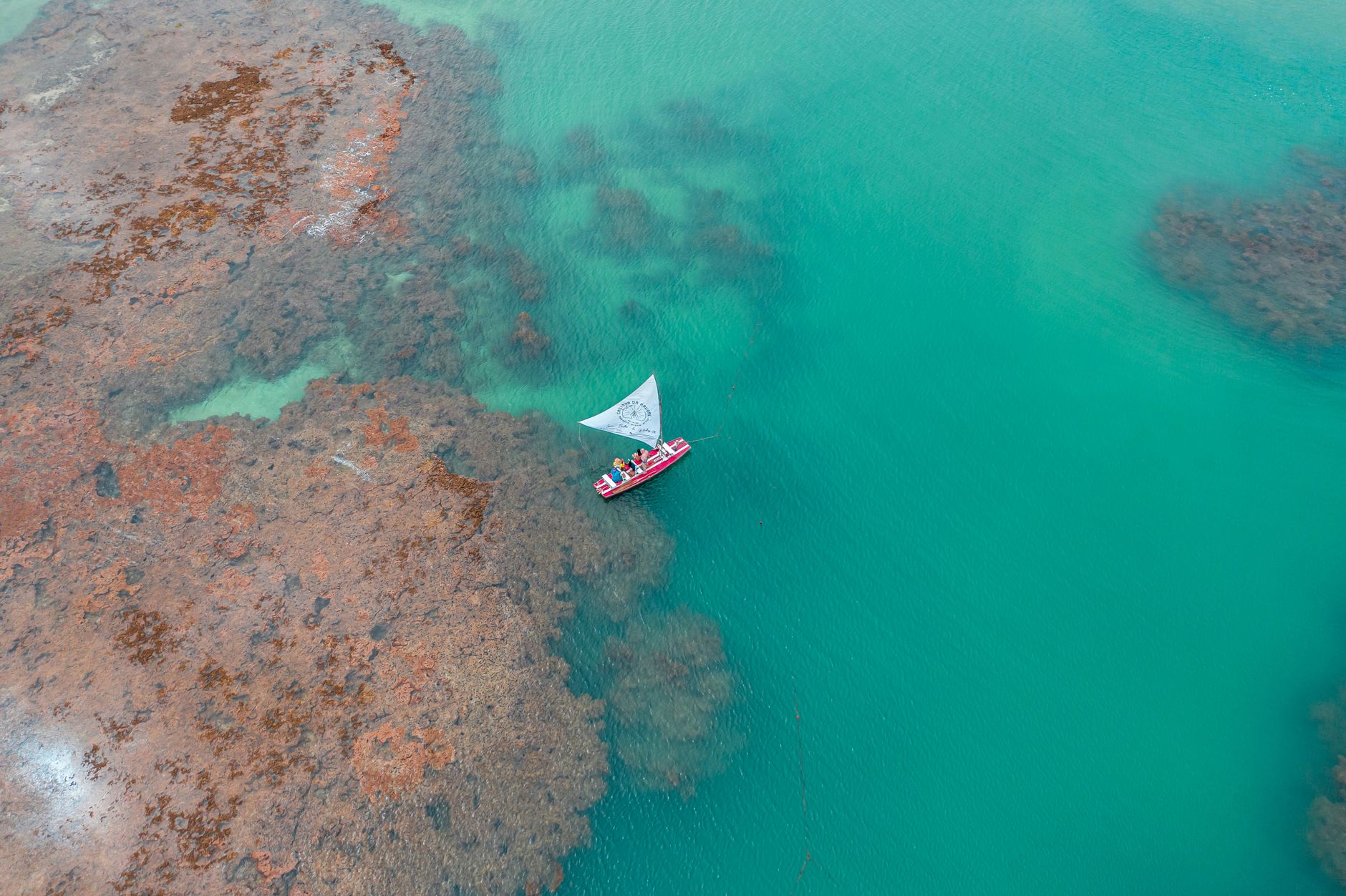
The Zanzibar archipelago cannot be understood solely through its postcard images of white sand and aromatic spices; it must be read through the relentless rhythm of its tides. In this remote corner of the Swahili coast, connectivity between smaller islets and the main island of Unguja relies on a complex network of artisanal maritime transport and a rainwater harvesting infrastructure as ancient as it is ingenious. Each dawn, when the channel recedes miles offshore, a landscape of exposed reefs, mud-stranded boats, and coral passages emerges, demanding an encyclopedic knowledge of the marine environment. This report examines the invisible logistics enabling subsistence in isolated island communities, where daily survival remains tethered to monsoon winds and the mastery of oceanic currents.
Far from standardized tourism circuits, life in the fishing villages of the eastern coast operates under strict synchrony with the lunar cycle. Local navigation engineers, dhow captains, and water resource managers sustain a delicate balance between traditional boatbuilding techniques and contemporary mobility demands. Analyzing Zanzibar’s transport and supply system means entering a territory where vernacular engineering overcomes the most complex geographical challenges of East Africa.
The Ancient Architecture of the Dhow and the Art of Sail Navigation
The transportation of heavy cargo, construction materials, and passengers between Unguja, Pemba, and peripheral islets rests upon a fleet of traditional vessels known as dhows and ngalawas. Built without printed blueprints, utilizing native woods such as teak and mango joined through techniques inherited from Persian and Arab boatwrights, these sailing ships represent the pinnacle of naval architecture adapted to the monsoon wind regime. Their sharp hulls and continuous keels allow them to navigate the treacherous coral reefs surrounding the archipelago without running aground catastrophically.
Artisanal shipyards located in the suburbs of Stone Town and northern Unguja serve as neuralgic centers where oral transmission of the craft remains active. Master carpenters supervise the assembly of ribs and planks, applying coconut fiber caulking and natural pitch to guarantee watertight integrity. The expertise of these artisans ensures that each vessel withstands the battering of spring tides and the force of the Kaskazi and Kusi winds. However, the progressive scarcity of high-grade timber on the mainland and rising import costs threaten fleet renewal, forcing local guilds to seek sustainable maintenance alternatives.
Tidal Logistics: The Daily Challenge within Tidal Channels
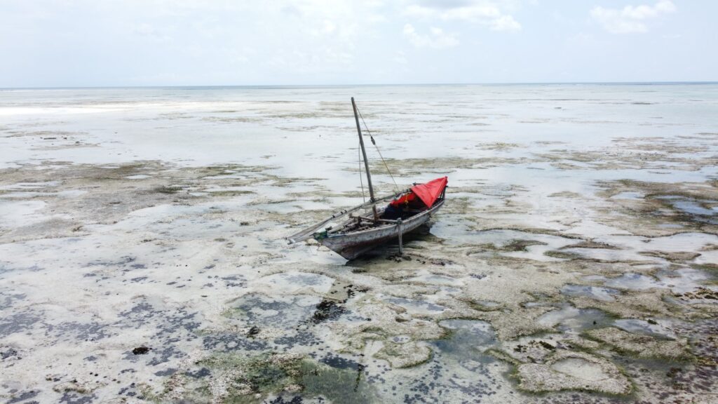
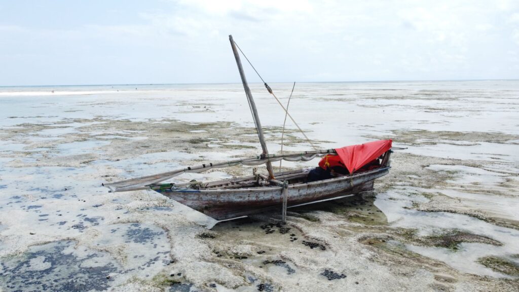
Navigation in the Zanzibar channel does not follow rigid clock schedules; instead, it obeys tide tables dictating when boats can depart from natural harbors or access mangrove-sheltered inlets. During low tide, large sailboats remain stranded in mud for hours, interrupting the flow of fresh produce to urban markets. To mitigate this temporary isolation, local cooperatives have optimized smaller-draft auxiliary boats with hybrid propulsion, capable of operating in narrow channels and shallow areas.
The sea is not a barrier separating islands, but the only true highway uniting the aspirations of a people sculpted by the wind of the Indian Ocean.
This reliance on currents demands absolute precision from captains. A miscalculation in departure time can mean getting stranded on the reef for an entire daylight cycle, risking perishable cargo and disrupting fish and vegetable supply chains. Minor port infrastructure, consisting mostly of fossil coral masonry piers and wooden walkways degraded by salinity, requires constant community repairs to prevent logistic paralysis in the most vulnerable settlements.
Freshwater Supply: Cisterns and Community Aquifer Management
Zanzibar’s connectivity is not limited to the transit of people and cargo; the transport and storage of potable water represent the critical pillar sustaining life on atolls lacking viable subterranean wells. Due to the high salinity of coastal aquifers and marine intrusion driven by rising sea levels, rural communities rely on a logistical system combining rainwater harvesting in large community cisterns with barrel transport on cargo vessels.
During the dry season, specialized barges act as floating aqueducts, moving thousands of liters from Unguja’s interior springs to small inhabited islands. The management of these water resources is rigorously regulated by local women’s committees, who allocate daily quotas and oversee the purity of reserves accumulated in underground cisterns. This decentralized governance model prevents humanitarian crises during prolonged droughts and demonstrates remarkable water resilience in the face of global climate vulnerability.
The Role of Outboard Motors and the Hybridization of Modern Transport
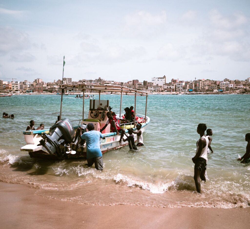
Over the past two decades, the sonic and operational landscape of the Swahili coast has undergone a silent transformation with the massive arrival of gasoline outboard motors. Although sailing dhows continue to dominate bulk cargo transport for economic efficiency, fishing boats and short-haul passenger ferries have incorporated mechanical propulsion to achieve predictability in their routes. This hybridization shortens transit times between Unguja and neighboring islets, reducing absolute dependence on shifting monsoon winds.

Nevertheless, this accelerated modernization brings significant socioeconomic and environmental challenges. Fossil fuel costs represent a crushing financial burden for artisanal fishers, whose profit margins are extremely narrow. Likewise, increased motorized traffic in sea turtle breeding grounds and fragile coral reefs has generated an urgent need to implement speed limits and marine zoning regulations to protect the biodiversity sustaining the region’s blue economy.
Minor Port Infrastructure and Artisanal Docks
The backbone of regional redistribution relies on a network of small piers constructed using the traditional dry-stone masonry technique with fossil coral blocks. These docks, relentlessly and daily battered by wave energy, demand continuous maintenance work falling almost entirely on volunteer brigades in each village. The lack of public investment in minor port infrastructure in peripheral zones contrasts with the intense commercial activity they host, turning every dock into a social hub where merchants, fishers, and transporters converge.
On market days, these docking points transform into hives of frenetic activity where the manual unloading of sacks of cassava, baskets of mangoes, and boxes of fresh fish is executed with choreography rehearsed for generations. The absence of cranes or other mechanized lifting mechanisms turns stowing into a test of collective strength, where human coordination is the only operational engine available to bridge the gap between low tide and the pier platform.

Practical Guide
Planning a respectful and rigorous immersion into Zanzibar’s transport system and coastal reality requires understanding the unwritten rules of local navigation and respecting host communities’ schedules.
- How to get there: The main entry point is Abeid Amani Karume International Airport (ZNZ) in Unguja, with connections from Dar es Salaam and Nairobi. To reach smaller islands like Pemba or Tumbatu, maritime transport must be coordinated from local ports in Stone Town or Mkokotoni.
- Local maritime transport: Use official passenger ferries or hire authorized dhows through local fishing cooperatives. Never board a vessel without verifying basic safety devices and forecasted weather conditions for the journey.
- Best time to visit: The months between June and October (during the dry season and Kusi winds) and from December to February (Kaskazi) offer the most stable navigation conditions, though winds can shift without warning.
- Cultural and environmental respect: Dress modestly respecting local Muslim customs, avoid excessive consumption of plastic bottled water in communities with limited water resources, and support fair trade for artisanal and fishing products.
Epilogue: Memory Written in Salt and Wood
At dusk, when the silhouettes of dhows cut across the glowing horizon of the Zanzibar channel and triangular sails unfurl to catch the day’s last breeze, the archipelago reveals its true timeless dimension. Beyond resorts and globalized commercial routes, a human ecosystem persists where survival is a daily act of negotiation with natural elements. The engineering of wooden hulls, the wisdom of community cisterns, and the tenacity of Swahili navigators shape a living heritage resisting the blows of uniform modernity. Here, on the exact border where the tide redefines the map every six hours, a people’s dignity is measured by their ability to stay connected across the water.