
Introduction to the Southern Outpost of Bruny Island
At the southeastern tip of Tasmania, where the Southern Ocean begins to display its true, unaltered character, lies Bruny Island, a territory fragmented into two landmasses joined solely by a narrow tongue of sand beaten by maritime winds. This geographical feature, known locally as The Neck, not only defines the island’s unmistakable silhouette but also represents the critical nucleus of its transport and connectivity system. The geography of Bruny is a constant challenge for road engineering and maritime logistics, demanding a delicate balance between human access and the conservation of fragile ecosystems inhabited by little penguins and short-tailed shearwaters.
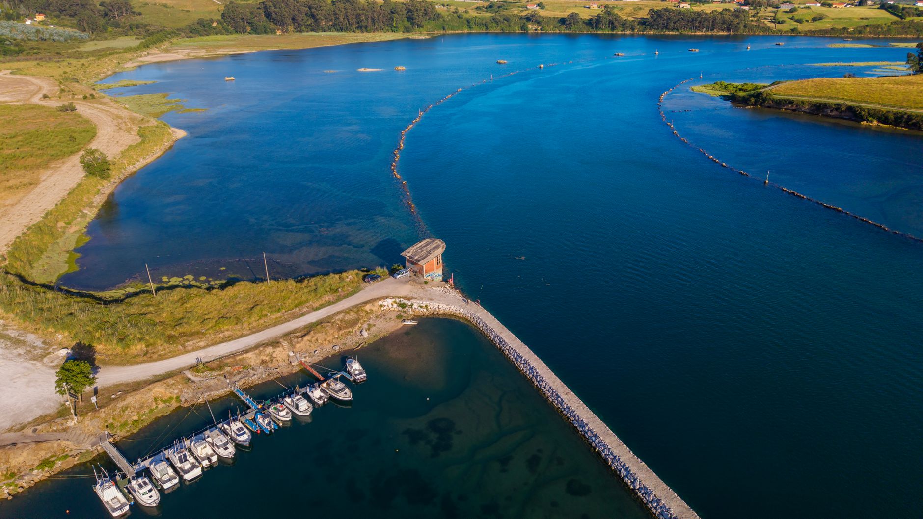
Access to this insular refuge relies entirely on a vital ferry line connecting Kettering, on Tasmania’s southeastern coast, with Roberts Point, crossing the cold and dynamic waters of the D’Entrecasteaux Channel. This journey of barely twenty minutes is much more than a simple nautical crossing; it constitutes the umbilical cord supplying goods, services, and visitors to a rural and insular community of fewer than a thousand permanent residents. As international tourism rediscovers Australian landscapes far from mass-market circuits, pressure on this intermodal infrastructure intensifies, raising fundamental questions about carrying capacity and the long-term sustainability of transport connections in ultra-peripheral regions.
Engineering and Logistics of the Kettering Ferry
The daily operation of the ferry service between Kettering and Roberts Point is an exercise in logistical precision conditioned by ocean currents and the changing weather conditions of the Tasman Sea. Operated by Sealink Tasmania, the vessels Mirambeena and Bowden make dozens of daily crossings carrying private vehicles, heavy freight trucks, tour buses, and cyclists. This mixed fleet must manage heavily marked seasonal demand peaks, especially during the southern summer months between December and February, when queues of automobiles at the Kettering terminal can stretch for kilometers along the Channel Highway.
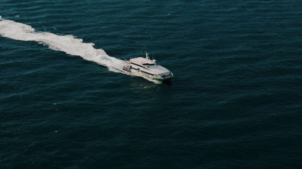
Unlike large ocean-going ferries, these double-ended vessels are specifically designed to facilitate rapid boarding and disembarking, minimizing turnaround times on both shores. However, port infrastructure faces severe physical limitations. Access ramps and docks depend on local tides, which while not reaching extreme amplitudes found elsewhere in the world, experience significant variations combined with wind that force captains to perform millimeter-precision docking maneuvers. The reliance on this single maritime route turns the service into a critical point of vulnerability; any technical interruption or temporary stoppage due to severe storms instantly isolates the island, highlighting the fragility of its connectivity model.
The Geographical Bottleneck of The Neck
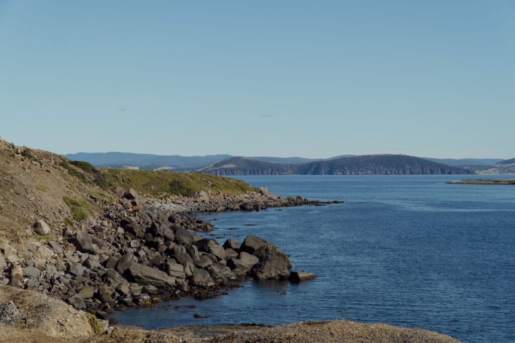
Once vehicles disembark at Roberts Point and begin traveling south along the main B66 route, travel inexorably converges at The Neck. This sandy isthmus several kilometers long is the only land route connecting the northern half (North Bruny) with the southern half (South Bruny). The state highway winds across this fragile dune cord, flanked on one side by the protected waters of the bay and on the other by the roaring surf of the open ocean. Constant exposure to wind and marine erosion has required continuous engineering interventions, including the construction of containment breakwaters and intensive planting of native vegetation to stabilize the sand.
Road traffic across The Neck has increased exponentially over the past two decades, driven by the rise in nature-based tourism and the pursuit of local gastronomic experiences, such as oysters cultivated in the pristine waters of Great Bay and artisan sheep’s milk cheeses. This steady flow of heavy vehicles and passenger cars transits through an ecological corridor of incalculable value. To mitigate the impact on local wildlife—particularly seabird colonies nesting in dunes and crossing the road at dusk—national park authorities have implemented nocturnal speed limits, elevated wooden pedestrian boardwalks, and advanced reflective signage aimed at harmonizing road safety with biological preservation.
The Secondary Road Network and the Isolation of South Bruny
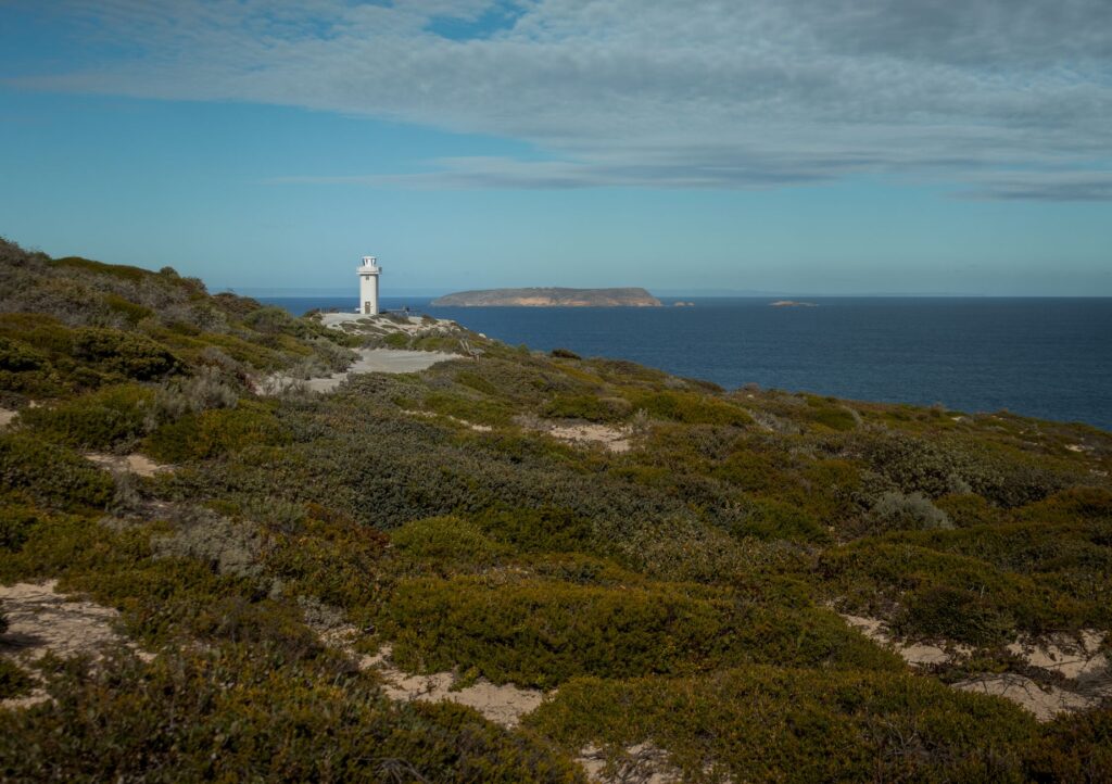
Beyond the isthmus, the road network of South Bruny descends into landscapes of rolling hills, dolerite cliffs, and dense temperate forests culminating in the historic Cape Bruny Lighthouse. The transition from the main asphalt to secondary roads leading to remote enclaves like Adventure Bay or Cloudy Bay reveals another dimension of insular logistical complexity: road maintenance on geologically unstable terrain with clay soils.
A large portion of secondary routes and rural tracks connecting local farms with distribution points lacks complete asphalt paving, relying on stabilized gravel surfaces that suffer accelerated wear due to seasonal rains and off-road vehicle traffic. Kingborough Council local authorities allocate a substantial portion of their budgets to grading and draining these roadways, aware that a deteriorated surface not only affects traveler comfort but compromises emergency services response to bushfires, a latent risk during dry Australian summers. Digital and telecommunications connectivity along these peripheral stretches also exhibits intermittency, reinforcing the sense of isolation and controlled adventure characterizing the island experience.
The true measure of connectivity on Bruny Island is not calculated in minutes of travel time, but in the patience required to synchronize with the relentless rhythm of the tides and absolute respect for its fragile insular geography.
The Air Alternative and Small-Scale Civil Aviation
Although maritime transport handles the vast majority of passenger and freight traffic toward Bruny Island, light civil aviation plays a specialized yet minor role in the regional accessibility network. The island features a small private and restricted-use airstrip in its central zone, suitable only for single-engine and light twin-engine aircraft operated by charter flight companies based in Hobart.

This air route is not designed for mass tourist transport, but rather fulfills essential functions of urgent medical connectivity, sanitary evacuations from remote areas, and environmental inspection flights for fire monitoring and wildlife management. Geographical proximity to Tasmania’s capital, located less than fifty kilometers in a straight line from the island’s northern points, makes flight times extremely short; however, unpredictable weather conditions, marked by strong crosswinds and rapid fog formation over the channel, severely limit the reliability of this infrastructure as a regular public transport alternative.
Sustainability and the Future of Intermodal Transport
The future of Bruny Island’s transport system stands at a critical crossroads where tourism industry pressure collides head-on with the need to preserve environmental integrity and the quality of life of permanent residents. Recent discussions among transport operators, government agencies, and community boards revolve around the gradual electrification of the ferry fleet, optimization of sailing schedules to reduce carbon emissions, and the potential implementation of congestion charges or mandatory advance booking systems for vehicles during peak season.
Likewise, support for active and sustainable mobility within the insular territory is valued through the development of signposted cycling routes that reduce reliance on private automobiles for short journeys between accommodations and natural points of interest. The transition toward a truly sustainable transport model on Bruny requires moving beyond the short-sighted vision of increasing frequencies and committing to integrated management that recognizes the physical limits of an insular ecosystem refusing to lose its authenticity under the weight of mass tourism.
Practical guide
How to get there: From Hobart, drive south along the A6 highway for approximately thirty minutes to the port town of Kettering, where the Sealink Tasmania ferry terminal is located.
The ferry: The service operates every day of the year with multiple daily frequencies. Advance booking is not mandatory for private passenger vehicles, but is highly recommended during long weekends and summer months (December to February) to avoid prolonged waits at the terminal.

Driving on the island: The main B66 route is paved and in good condition, but many secondary roads leading to beaches and trails are unpaved gravel. Drive with extreme caution at dusk and during the night due to the heavy presence of native wildlife (wallabies, pademelons, and echidnas) on roadways.
Accommodation and services: The island features a limited offering of self-contained accommodations, eco-cabins, and small boutique hotels. It is essential to plan months in advance and provision with fuel and cash, as some local businesses operate with network connectivity limitations.
The Final Pulse of the Tide and Southern Memory
As evening falls, when the last golden rays of sunlight illuminate the limestone cliffs and the tide slowly covers the sandy stretches of The Neck, the island recovers an ancestral calm defying the modern hustle of global transport. Sitting at elevated viewpoints above the istmus and observing the silent return of little penguins to their underground burrows reminds us that this oceanic outpost is not a mere weekend destination, but a fragile sanctuary where nature dictates the rules of passage. Here, every vehicle crossing the channel and every traveler traversing dusty roads participates in a delicate pact of respect with the landscape, understanding that the true beauty of travel lies in knowing when to stop and listen to the deep heartbeat of the southern earth.