
Introduction to the Atlantic Labyrinth of Guinea-Bissau
Suspended off the coast of Guinea-Bissau in the Atlantic Ocean, the Bissagos Archipelago represents one of the last island strongholds where wild nature and ancestral cultural sovereignty remain intact. Comprising eighty-eight islands and islets, of which barely a score are permanently inhabited, this territory declared a UNESCO Biosphere Reserve challenges the contemporary traveler with complex logistics and a geography in constant mutation due to the extreme amplitude of its tides. Planning a traverse by traditional dugout canoe through these mangrove channels demands not only rigorous physical preparation, but a deep understanding of ocean currents and absolute respect for the strict community rules governing access to sacred islands.
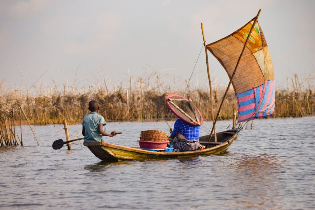
Unlike other commercial maritime routes, the Bissagos demand millimeter-precision navigation where outboard motors frequently yield to the paddles and Latin sails adapted by local fishermen. This report examines logistical feasibility, technical tidal challenges, self-sufficiency requirements, and the anthropological keys necessary to venture into the heart of an archipelago where time is measured by lunar phases and the cycle of spring tides. Adventure here is not synonymous with conquest, but with adaptation to a fragile and fascinating ecosystem.
The Dynamic Geography of Mangroves and Tidal Currents
Understanding water behavior in the Bissagos Archipelago is the first line of defense for any expedition. With tidal ranges exceeding six meters at certain times of the year, the channels separating islands like Bubaque, Caravela, Uno, or Orango transform into vertiginous saltwater rivers whose speed can surprise even the most experienced navigator. Flood and ebb currents dictate the temporal windows of travel relentlessly, forcing expedition members to rise before dawn to exploit slack water and avoid paddling against an insurmountable liquid wall.
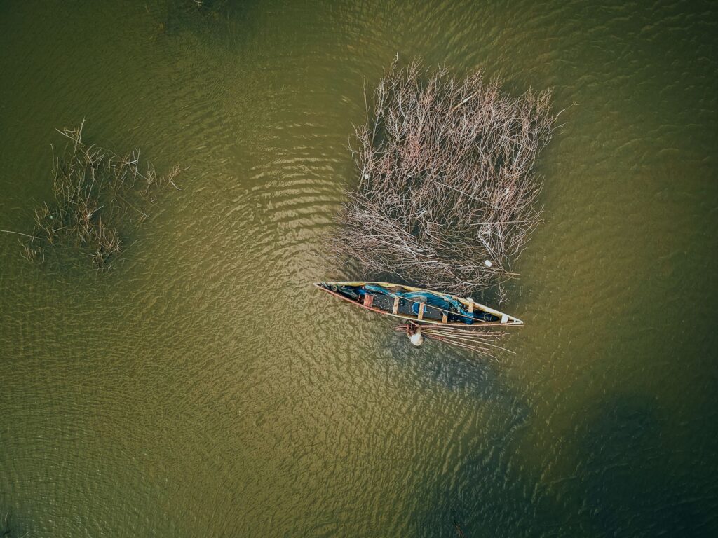
The labyrinth of aerial roots of red and black mangroves is not only a hypnotic landscape, but a maze carved by sediments and secondary channels that vanish at low tide. Conventional digital cartography is insufficient in these shallow waters; the accumulated experience of local Bissaga guides is the only reliable resource to avoid grounding on clayey mudbanks that can trap a vessel for hours beneath the equatorial sun. Fresh water management and protecting electronic equipment from saline humidity complete the picture of technical operations en route.
Self-Sufficiency Logistics and Nautical Equipment
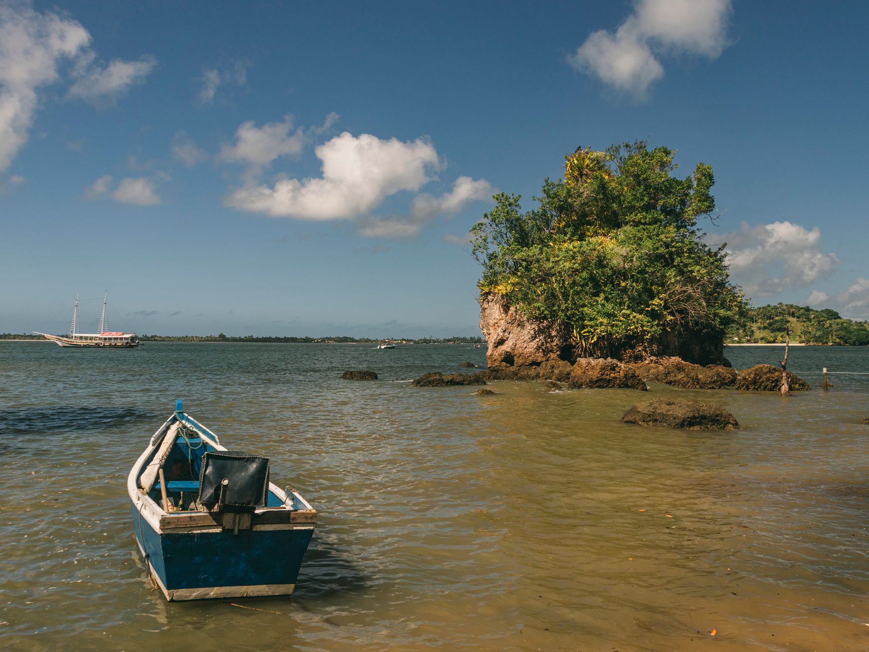
Embarking on a multi-day traverse through a territory devoid of conventional tourism infrastructure requires an impeccable logistical chain. The choice of vessel is decisive: although monoxyl canoes carved from kapok wood offer exceptional oceanic stability and a direct connection to the region’s seafaring tradition, their weight demands a coordinated crew and a millimeter-precise load distribution. All camping gear, dehydrated rations, gravity water filtration systems, and satellite communication devices must be stowed in heavy-duty dry bags.
Food self-sufficiency is complemented by respectful exchanges with local fishermen in coastal villages, where fresh fish caught with traditional nets can be acquired in exchange for basic goods brought from the mainland, such as rice or cooking oil. Nevertheless, the expedition cannot depend entirely on en-route provisioning; a safety margin of at least five days of emergency rations must be calculated. Portable solar panels become indispensable tools for keeping navigation and distress signal devices operational in an area where mobile phone coverage is nonexistent outside the sparse administrative centers.
Cultural Protocols and the Pact with Island Communities
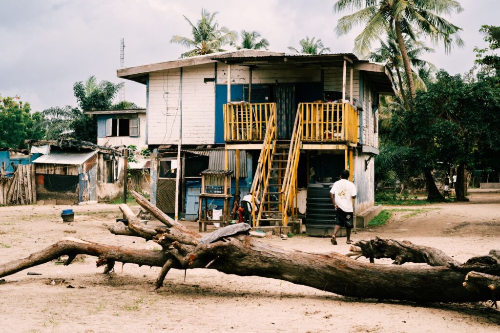
The Bissagos Archipelago is not an uninhabited geographical space, but the ancestral home of the Bissaga ethnic group, a matrilineal society deeply attached to ancestral animist traditions and the conservation of their natural environment. Every island, sacred forest, and sandbar possesses spiritual significance regulated by councils of elders and local priestesses. Entry into any community requires strict compliance with the presentation rite, which includes obtaining formal authorization and delivering a symbolic offering of kola nuts to the traditional village leader.
The preservation of local fauna—which includes significant populations of marine hippopotamuses adapted to swim in brackish waters, green sea turtles, and internationally important migratory avifauna—is guaranteed precisely by these cultural taboos prohibiting indiscriminate hunting and the overexploitation of resources. The expedition traveler must assume the role of a respectful observer, refraining from photographing individuals or ceremonies without explicit consent and minimizing their ecological footprint through rigorous management of organic and inorganic waste generated during the traverse.
Route Planning and Seasonal Window Selection
The success of a nautical expedition in Guinea-Bissau depends critically on the choice of meteorological season. The year is clearly divided into two periods: the dry season, stretching from November to May, and the rainy season or monsoon, from June to October. For navigation in traditional canoes or light vessels, the dry season offers the most favorable conditions, characterized by clear skies, moderate trade winds, and a lower incidence of sudden thunderstorms in the Gulf of Guinea.
However, the transitional months between seasons (November and May) present the best opportunities for wildlife observation and tranquility in secondary channels, as the influx of casual visitors ceases entirely. The classic recommended route connects the mainland port of Bissau with the islands of Bolama, Bubaque, Caravela, and the outer Orango archipelago, totaling approximately one hundred and twenty nautical miles of effective travel. This traverse demands an average of ten to fourteen days of effective navigation, alternating intense paddling days with days dedicated to rest and land exploration of the interior islands.
The true nautical expedition does not measure its value by the distance covered on the map, but by the depth of listening and the respect with which one traverses the sovereign territories of nature and culture.
Emergency Management and Medical Support in Remote Areas
The geographical remoteness of the Bissagos Islands from high-complexity medical centers on the mainland mandates the implementation of a strict protocol for medical risk prevention and management. The most frequent pathologies faced by an expedition at this latitude include endemic malaria, gastrointestinal infections derived from bacterial water contamination, and skin lesions aggravated by humidity and contact with mangrove mud. Carrying an advanced first aid kit, specialist-prescribed malaria prophylaxis, and double-filtration and chemical chlorination water purification systems is mandatory.
In the event of a severe emergency—such as a serious boating accident, fracture, or acute febrile illness unresponsive to basic treatment—the only path to rapid evacuation is the activation of a maritime rescue device prearranged with local organizations or through the use of a satellite phone linked to international travel insurance covering repatriation in hard-to-reach areas. Prevention through the constant use of insect repellents containing DEET, continuous electrolyte hydration, and broad-spectrum sun protection are the best guarantees against unnecessary evacuations.
Practical guide
How to get there: The international entry point is Osvaldo Vieira International Airport (OXB) in Bissau, the capital of Guinea-Bissau. From there, access to the islands is achieved via irregular community ferries or by hiring private motorboats at the Pidjiguiti port.
Permits and authorizations: Registration at the Biodiversity and Protected Areas Institute (IBAP) in Bissau and obtaining specific permits to navigate the Ilhas Formosas Marine National Park and the Orango National Park is mandatory.
Recommended season: Between December and April, during the dry season, when the sea presents calmer swells and violent tropical monsoon storms are avoided.
Currency and payments: The official currency is the West African CFA franc (XOF). Outside Bissau, there are no ATMs or credit card acceptance; the entire expedition must be funded with cash in small denominations.
Mandatory equipment: Certified life jackets, high-capacity dry bags, backup GPS navigation system, marine VHF radio, tropical first aid kit, and portable solar panel.
Epilogue: The Atlantic Pulse That Transcends Time
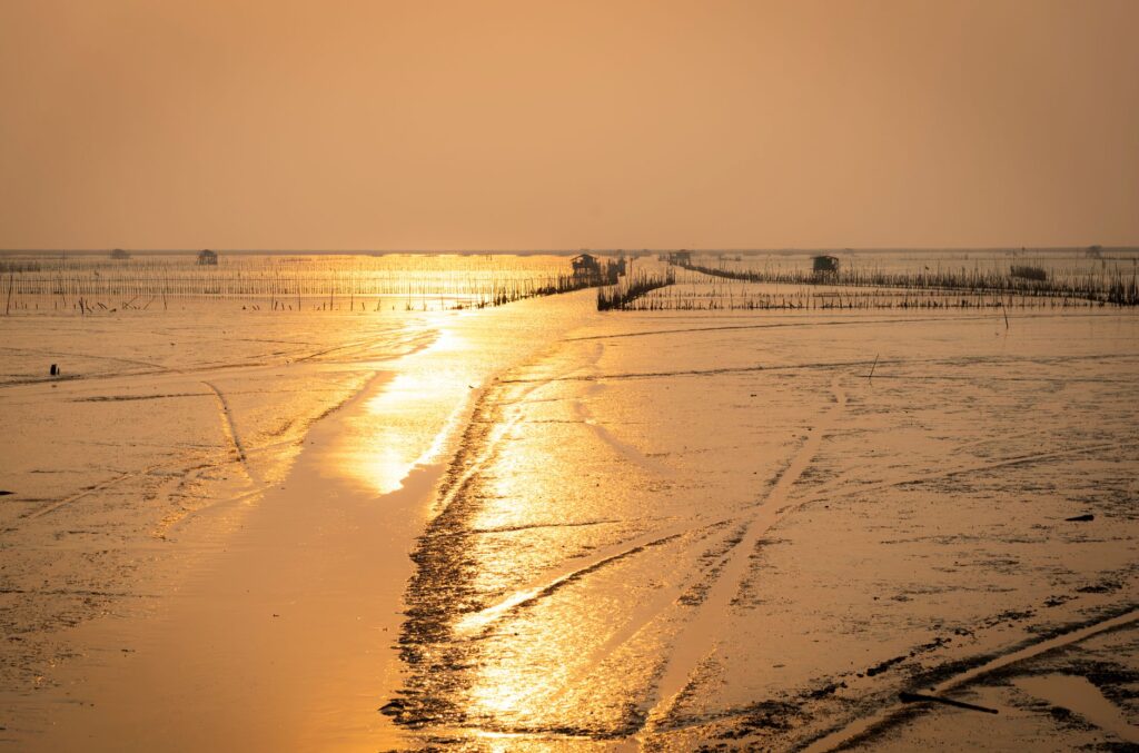
As the sun begins to descend over the Atlantic horizon, dyeing the muddy waters of the archipelago in shades of old gold and crimson, the rhythm of the expedition slows down naturally. Seated at the bow of the dugout canoe, with the distant echo of nocturnal chants drifting from a village hidden among palms and kapoks, one realizes that the true magnitude of this journey lies in its capacity to strip the traveler of the superfluous. The Bissagos offer no modern comforts or prepackaged certainties; they offer something infinitely more valuable: the opportunity to become part, if only for a few brief days, of a world where human beings and the sea continue an ongoing dialogue of respect, patience, and perpetual wonder.