
In the heart of Central Asia, where the Pamir, Tian Shan, and Hindu Kush mountain ranges converge into a geological maze of perpetually snow-capped peaks, human mobility has historically been dictated by the brutality of the terrain. The ancient caravans of the Silk Road did not traverse this territory for aesthetic reasons, but out of the sheer necessity to find practicable passes among abysses towering four thousand meters high. Today, the modernization of transport corridors in this mountainous region responds not only to commercial logic among emerging powers, but also to a titanic civil engineering effort to connect communities isolated by the most hostile orography on the Eurasian continent.
The study of transportation within the Pamir corridor requires understanding that rail and road infrastructure acts as the backbone of sovereignty and economic subsistence for landlocked republics such as Tajikistan and Kyrgyzstan. While major Soviet trunk lines prioritized geopolitical projection toward the north, modern alignments seek a south-eastern reorientation, linking Central Asian markets with the ports of South Asia and western China. This logistical transition poses unprecedented technical dilemmas, ranging from the stabilization of landslide-prone slopes to the maintenance of railway operations under extreme temperatures that frequently drop below minus thirty degrees Celsius.
The Legacy of High Valleys and Territorial Design
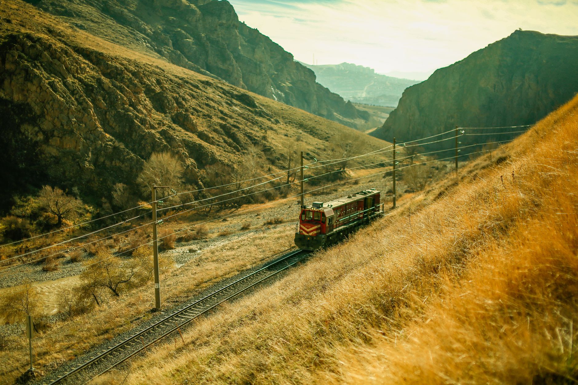
The current configuration of terrestrial communication networks in the Pamir carries the weight of its Soviet past, an era when centralized planning dictated the construction of secondary roads and rail tracks primarily for military and resource extraction criteria. The arteries connecting Tashkent, Dushanbe, and Bishkek today were designed to overcome impossible elevation changes through the systematic blasting of rock and the construction of viaducts over deep river gorges. However, the collapse of the Soviet Union left these infrastructures orphaned from continuous maintenance, leading to a period of severe logistical isolation from which the region is only beginning to recover.
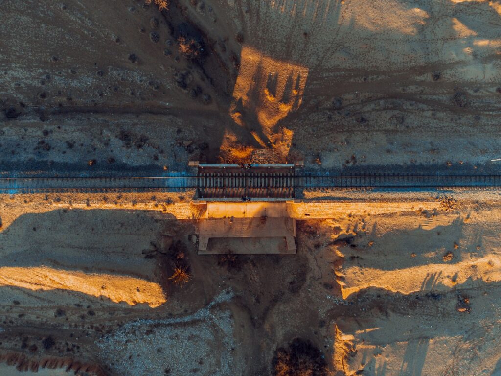
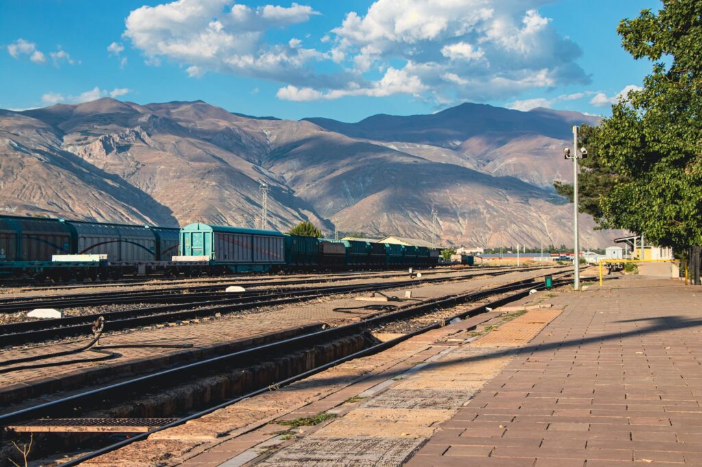
To understand the magnitude of the current challenge, one must examine the layout of the tracks winding along the Panj River, the natural border between Tajikistan and Afghanistan. Contemporary engineers face an inescapable physical dilemma: the scarcity of horizontal space forces the superposition of highways, projected historical rail lines, and rushing riverbeds. Every kilometer of rehabilitated asphalt or rail track requires the prior consolidation of unstable slopes using high-tensile mesh systems and drainage infrastructure designed to withstand seasonal snowmelt, a phenomenon that puts the resilience of the entire regional transport system to the test every spring.
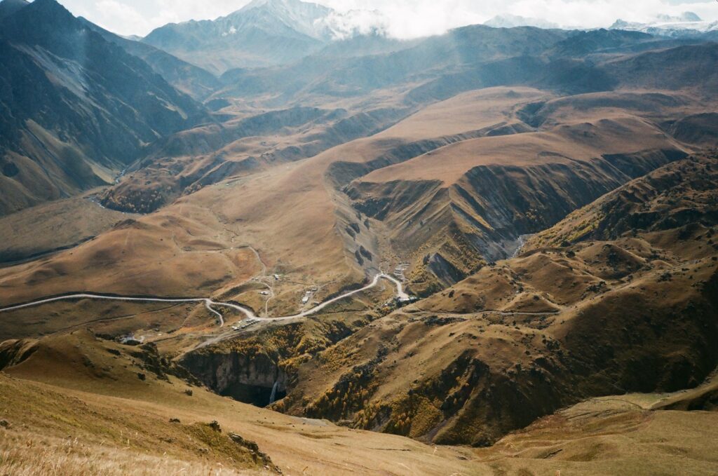
The mountain does not negotiate with engineers; it imposes its own geometric rules through constant erosion and absolute thermal rigor.
As one ascends toward the high plateau, locally known as the Eastern Pamir, altitude becomes the most critical limiting factor for transport logistics. The lack of oxygen not only drastically reduces the performance of heavy machinery and internal combustion engines, but also noticeably slows down the execution times of any civil works project. Fleets of freight trucks supplying mining communities and border posts must incorporate special turbochargers and electronic injection systems adapted to reduced atmospheric pressure, demonstrating that logistics at this latitude is a constant exercise in engineering applied to extreme conditions.
The Geopolitics of Intermodal Corridors
The renaissance of transportation in Central Asia cannot be understood without the emergence of transnational intermodal projects, where rail and road compete and complement each other to capture freight traffic between China and Europe. The multimodal corridor connecting the Xinjiang Autonomous Region with Kyrgyzstan and Tajikistan represents one of the most ambitious ventures of the past decade. This axis seeks to drastically reduce transit times compared to traditional maritime routes, yet its large-scale viability continues to run into monumental technical barriers, such as the break-of-gauge between the 1520 mm Soviet system and international standards.
Local authorities and multilateral development agencies have intensified investments to modernize the Kulma and Karamyk border crossings, transforming them from simple military checkpoints into modern logistics hubs equipped with container scanners and cargo transfer platforms. Nonetheless, customs integration remains a fragmented process. Logistics operators frequently report that bureaucratic procedures and disparities in technical regulations between neighboring nations nullify part of the time advantage provided by physical infrastructure, turning freight transit into an administrative obstacle course.

Concurrently, the passenger transport sector is undergoing a silent yet profound transformation. Long-distance bus lines, which for decades were the sole means of connection between remote towns in the Fergana Valley and the Pamir summits, now compete with regional airlines operating turboprop aircraft adapted to short runways and high-altitude airfields. Despite aerial modernization, roads remain indispensable for the local economic fabric, transporting not only basic necessities but also specialized adventure tourism seeking to explore the most remote landscapes of the ancient Silk Road.
Environmental Sustainability and Climate Vulnerability
The accelerated retreat of glaciers in the Pamir mountain range introduces an unprecedented variable of instability into transport infrastructure planning. Civil engineers can no longer rely exclusively on historical meteorological data from the past century to design bridges, tunnels, and retaining walls. The increasing frequency of mudslides—known locally as sews—and sudden glacial river floods threaten to periodically sever major road arteries, leaving entire provinces cut off for weeks.
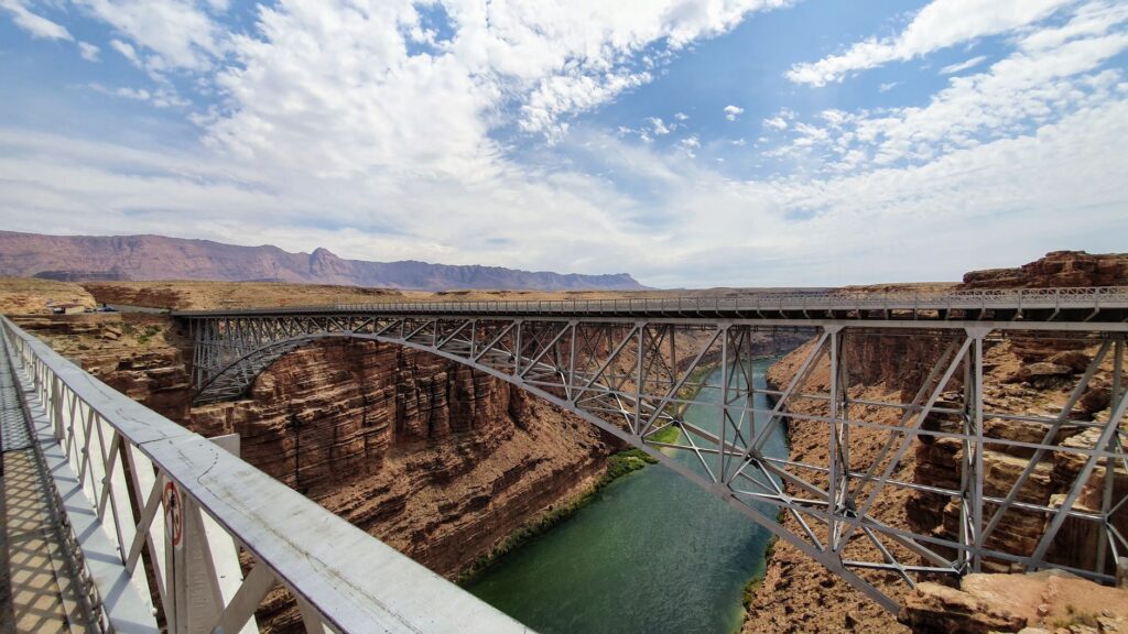
In response to this vulnerability, international technical cooperation agencies have begun implementing early warning systems based on telemetry sensors and satellite observation. These devices monitor the stability of slopes and mountain river flows in real time, allowing authorities to preemptively close the most dangerous sections before catastrophes occur. However, the economic cost of adapting the entire transport network to the new climatic scenario far exceeds the national budgets of the region’s countries, forcing a complex search for international green financing.
Another critical aspect is the direct ecological impact that the expansion of road infrastructure generates in fragile alpine ecosystems. The fragmentation of natural habitats puts the survival of emblematic species such as the snow leopard and Marco Polo argali at risk. Recent projects attempt to mitigate this damage by constructing elevated wildlife crossings and prohibiting unregulated aggregate extraction in surrounding riverbeds, though the balance between economic development and environmental conservation remains precarious and subject to local tensions.
Practical guide
Planning a trip or a logistical analysis across the Pamir routes requires absolute methodological rigor and exhaustive preparation given the remoteness from urban centers and the harshness of the physical environment.
- Best time to visit: The months from July to September offer the most stable weather conditions for traversing high-mountain passes, with lower risks of snow blockages and mudslides.
- Special permits: Accessing the Gorno-Badakhshan Autonomous Region and traveling near border zones requires obtaining the GBAO permit in advance alongside the national visa.
- Transport logistics: Renting robust four-wheel-drive vehicles with an experienced local driver is strongly advised, as mechanical conditions and secondary route knowledge are vital.
- Altitude adaptation: Altitude sickness is a real risk; planning a gradual ascent with intermediate stops for organic acclimatization before surpassing 3,500 meters is essential.
- Connectivity and supplies: Mobile phone coverage is non-existent across most of the Eastern Pamir; carrying satellite communication devices and physical reserves of fuel and cash is imperative.
The austere beauty of the Pamir rewards only those travelers and analysts who deeply respect its complex human and natural geography.
The horizon of transport in the Pamir is debated between the urgency of economic modernization and the fragility of a natural environment that tolerates no calculation errors. The decisions made today by state planners and logistics operators will determine not only the commercial efficiency of Central Asia, but the very survival of ancient communities that have made the mountain their unyielding home.