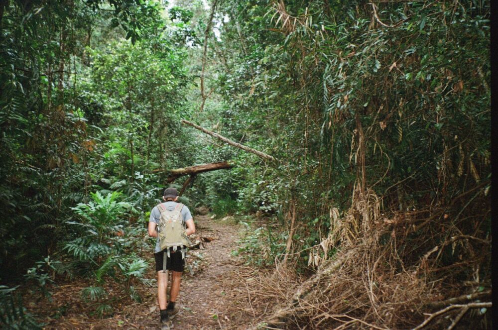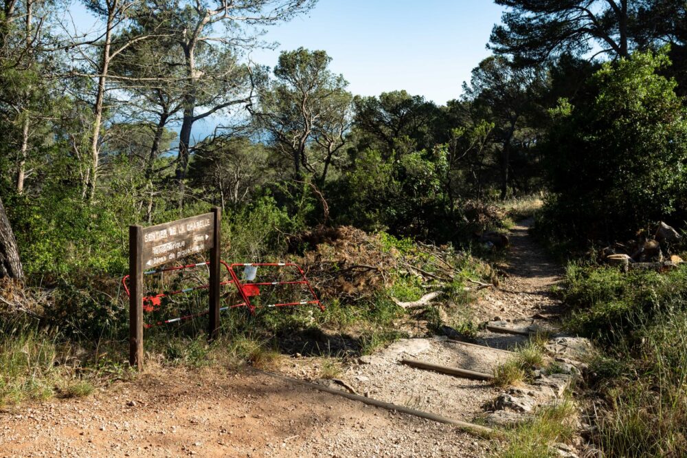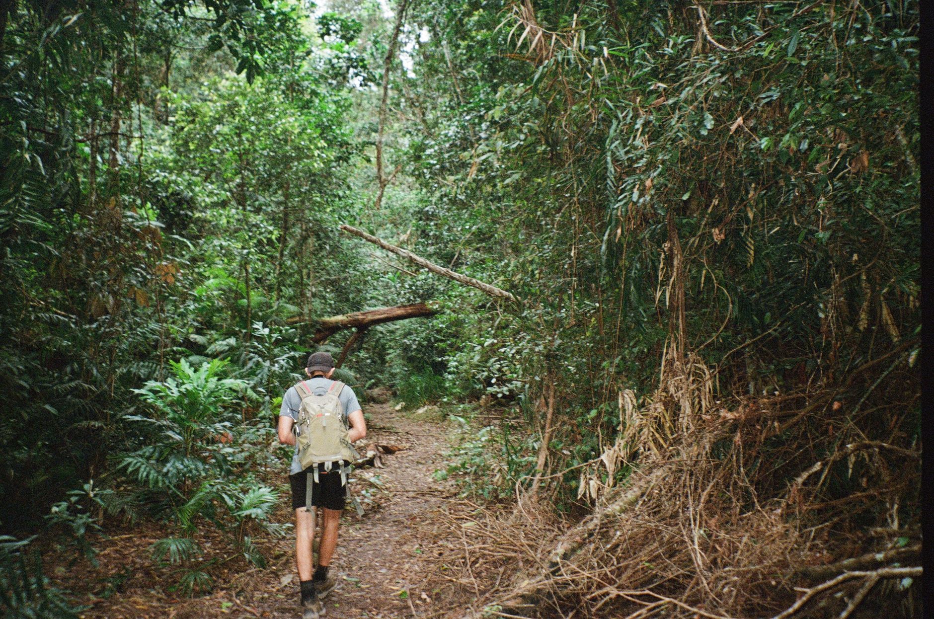

In the far southwestern corner of the island-continent, where the Indian Ocean meets the Great Southern Ocean, lies one of the most unique long-distance hiking routes on the planet. The Bibbulmun Track is not merely a thousand-kilometer line drawn across the map of Western Australia; it is a journey through one of the oldest and most stable geologies on Earth. Unlike young mountain ranges such as the Alps or the Andes, this trail meanders through a landscape of weathered hills, giant eucalyptus forests found nowhere else, and a biodiversity that has evolved in isolation for millions of years.
For the contemporary expeditioner, the Bibbulmun represents a challenge of endurance and self-sufficiency. From its trailhead in Kalamunda, on the outskirts of Perth, to its terminus in Albany, the hiker must manage water in arid environments, navigate through dense jarrah and karri forests, and coexist with fauna that is as fascinating as it is demanding. This traverse requires a shift in mindset: here, success is not measured by altitude gained, but by the ability to tune into the slow rhythm of an ecosystem that ignores the haste of modernity.

The Genesis of the Track and the Waugul Symbolism
The Bibbulmun Track takes its name from one of the tribes of the Noongar people, the original inhabitants of this region. Its current route, consolidated in the late 1990s after a major overhaul, is marked throughout its length by the symbol of the Waugul, a mythical creation serpent in Aboriginal culture. Following these small yellow plates is to enter a territory where geology tells stories of eons. The predominant terrain is laterite, a reddish rock rich in iron and aluminum that becomes extremely slippery when wet and radiates a dry heat under the sun that tests the most technical footwear.
Planning a full expedition, popularly known as an end-to-end, requires months of logistical preparation. The trail is traditionally divided into nine sections, each with distinct ecological characteristics. The first stretches from the north feature steep gradients over the Darling Scarp, where granite outcrops offer the first panoramic views of a seemingly infinite horizon. Here, effort management is critical; the weight of the backpack, loaded with several days’ worth of supplies, is felt in the joints as one descends into river valleys.
Survival Architecture: The Shelter System
One of the pillars supporting the Bibbulmun’s infrastructure is its network of 49 shelters. These timber structures, open on one side to allow ventilation and connection with the environment, are strategically located a day’s walk apart (between 12 and 25 kilometers). Each shelter features wooden bunks, a table, a cooking area, and, most importantly, rainwater collection tanks. However, the expeditioner must not be complacent: water availability depends entirely on seasonality and previous rainfall.

«The true essence of the Bibbulmun lies not in the destination, but in the silent transition between the canopy of the Jarrah forests and the vastness of the Southern Ocean.»
Shelter etiquette is a fundamental part of the experience. The Green Book or register found at each stop is not just a travel diary where hikers share anecdotes or warnings about trail conditions; it is a vital safety tool. In an environment where mobile coverage is non-existent for long stretches, recording one’s direction and health status allows rescue services and the trail organization to monitor the flow of people in case of bushfires or medical emergencies.
Timber Cathedrals: The Karri and Tingle Forests
As the trail progresses south, the landscape undergoes a dramatic metamorphosis. Around the town of Pemberton, the hiker enters the realm of the Karri (Eucalyptus diversicolor), one of the tallest trees in the world, which can reach heights of 90 meters. Walking beneath these silver-barked columns is the closest thing to traversing a natural cathedral. The ground becomes softer, covered in leaf litter and ferns, and the air carries a humidity that contrasts with the northern aridity. Walking technique must adapt: exposed roots and fallen logs require constant balance and attention.

Further south, near Walpole, the Red Tingles appear. These trees are unique for their massive, hollow bases, the result of centuries of fire and regeneration. Some specimens have a circumference of over 20 meters. This section of the trail is technically demanding due to the undulating terrain but visually rewarding. It is here that the expeditioner understands the fragility of these ecosystems; the Phytophthora cinnamomi fungus (dieback) is a constant threat, and the strict use of boot-cleaning stations along the trail is an ethical and technical obligation to prevent the spread of this disease that kills native flora.
Navigation and Safety: The Outback Factor
Although the Bibbulmun is well-signposted, navigation should not be taken lightly. The use of updated topographic maps and a compass (or GPS with offline maps) is essential. Weather conditions in Southwest Australia can change rapidly. In summer, the risk of bushfires is extreme, forcing the closure of entire trail sections. Therefore, the ideal window for the traverse is between April and early November, avoiding the scorching heat and associated risks.
The local fauna adds an extra layer of complexity. Western Australia is home to venomous snakes such as the Tiger Snake and the Dugite. Although they usually avoid human contact, hikers should wear protective gaiters and maintain constant vigilance on the trail, especially in sunny areas where these reptiles often thermoregulate. On the other hand, the presence of Western Gray Kangaroos, emus, and a dazzling birdlife (such as Red-tailed Black Cockatoos) turns each day into a live natural history lesson.
The Final Assault: The Coast and the Southern Ocean
The last 200 kilometers of the trail offer a radical change of scenery. The forest gives way to coastal heaths and granite cliffs that resist the onslaught of the Southern Ocean. Here, the wind is the protagonist. Progress becomes heavier due to stretches of soft sand on the beaches, requiring a short-step technique and careful hydration management, as the sun reflects intensely off the white quartz of the dunes.
«Walking along the southern cliffs is to face the true scale of Antarctica, feeling the wind that has not touched land for thousands of kilometers.»
Crossing inlets, such as Irwin Inlet or Parry Beach, depends on tides and the opening of sandbars. Occasionally, the expeditioner must remove their boots and wade through water that can reach waist-height, protecting their gear in dry bags. This final section is a test of psychological endurance; the finish line in Albany seems close, but the coastal terrain is relentless, and distances stretch under the infinite southern sky.

Practical guide
To approach the Bibbulmun Track successfully, it is imperative to consider the following logistical and technical aspects:
- Optimal Season: May to October. Avoid summer (December-March) due to extreme heat and critical fire risk.
- Permits: No permit is required for walking, but it is mandatory to sign in at each shelter’s register. Large groups (over 8 people) must notify the Bibbulmun Track Foundation of their itinerary.
- Water: Water from shelter tanks must always be treated (boiling, 0.1-micron filters, or chemical treatment). Never assume a tank will be full.
- Critical Gear: Footwear with high-traction soles (Vibram or similar), robust gaiters for snakes and scrub, and a lightweight tent (even though there are shelters, they may be full).
- Supplies: Towns such as Dwellingup, Collie, Balingup, Pemberton, and Walpole serve as resupply points. Many hikers mail food parcels to the post offices in these towns.
- Safety: It is highly recommended to carry a PLB (Personal Locator Beacon), as radio and phone signals are non-existent in most of the route.
The conclusion of the expedition at the Albany monument, next to the historic harbor, marks the end of a physical odyssey. But for those who have walked the Bibbulmun, the true end is not a bronze plaque, but the assimilation of a landscape that has remained unchanged while the rest of the world moved on. It is the satisfaction of having crossed, step by step, one of the wildest and most beautiful corners of the planet, carrying only what is necessary and leaving only footprints that the southern wind will eventually erase.