
A Blue Scar in the Heart of the Dinaric Alps
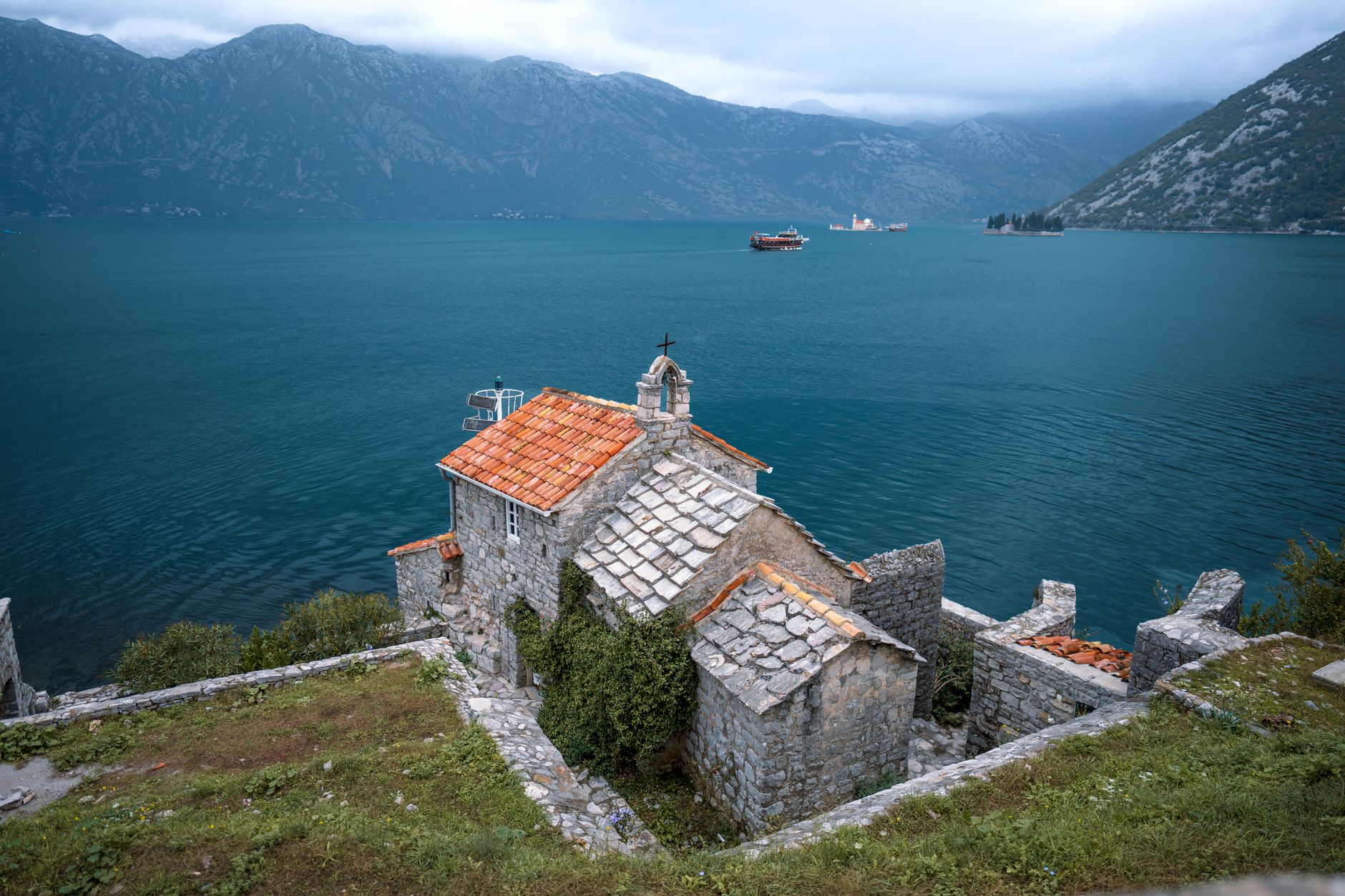
The geography of the southern Adriatic conceals one of the most complex hydrographic features on the European continent: the Bay of Kotor. Often miscategorized as a glacial fjord, this formation is actually a submerged river canyon—a ria with vertical walls—sculpted by karst erosion and tectonic subsidence. Here, mountain and sea forge a visual and physical alliance that has shaped the strategic destiny of the region since antiquity. The limestone masses of Orjen and Lovćen plunge directly into the dark waters, creating a natural corridor protected from the onslaught of the open sea yet exposed to the rigors of local katabatic winds.
Understanding this territory requires looking beyond the superficial gaze of summer tourism to delve into the logic of its defensive and maritime engineering. For centuries, this Adriatic stronghold functioned as an impregnable natural harbor, a sanctuary where Venetian, Byzantine, and Austro-Hungarian fleets found secure anchorage. The complexity of its subsurface currents, fed by karst springs of variable flow such as the Škurda, forced mariners to develop highly specific piloting techniques. Today, this UNESCO-protected landscape not only safeguards exceptional architectural heritage but also poses a contemporary challenge: balancing the preservation of its fragile marine ecosystem with the pressure of constantly growing nautical traffic.

The Network of Anchorages and Historical Inshore Navigation
Navigation in the Bay of Kotor has never been a simple task. Despite its appearance of a calm lake, the Verige Strait—the bottleneck dividing the outer and inner bays—generates wind accelerations locally known as the bura, capable of catching any recreational vessel or cargo ship off guard. Historically, the communities of Perast, Dobrota, and Prcanj based their economy and survival on mastering these interior waters, operating a fleet of merchant ships connecting the Ottoman Empire with the ports of Venice and the Eastern Mediterranean.
The captains of these routes relied not on luck, but on profound knowledge of local bathymetry and the bearings marked by the church bell towers dotting the coast. Each settlement functioned as an advanced pier where limestone quarried from the surrounding slopes served both to build shipowners’ palaces and to consolidate docking quays. This amphibious architecture, where building foundations submerge directly into brackish water, is the most unmistakable testimony to how humans domesticated a radically vertical environment.
Military Engineering and the Tactics of Isolation
Kotor’s defensive system is an open-air manual of poliorcetics. The walls winding from the old town up to the fortress of Saint John, climbing a two-hundred-meter-high cliff, are not merely a photographic attraction; they constituted a military barrier designed to resist prolonged sieges through strict control of water sources and upper access points. Built primarily during Venetian rule, these structures demonstrate an adaptability to karst terrain that defies the laws of gravity.
Every bastion, sentry box, and embrasure was positioned after calculating firing angles over the mirror of water. The main wall, over four kilometers long, integrates with the cliffs in such a way that it is impossible to tell where natural geography ends and human intervention begins. This display of military engineering is complemented by Austro-Hungarian forts scattered across surrounding peaks, such as Gorazda or Vrmac, proving the bay’s continuous strategic revaluation well into the twentieth century.
The Biological Rhythm of Interior Waters
Ecologically, the Bay of Kotor functions as a semi-enclosed estuary with unique oceanographic characteristics. The confluence of freshwater from subterranean karst-regime springs and the influx of nutrient-rich marine water through the bay’s mouth generates a highly pronounced salinity stratification. This phenomenon fosters the development of specific marine biodiversity, historically exploited for bivalve farming in the sheltered zones of Orahovac and Risan.
Local communities have practiced mussel and oyster farming for generations, using wooden stakes and floating lines adapted to the minimal tidal range of the Adriatic. However, rising water temperatures and the massification of cruise tourism threaten this delicate biological balance. Marine biologists and local institutions currently collaborate to monitor water quality, aware that ecosystem survival is the sole guarantee for maintaining the fjord’s productive and scenic identity.
The Urban Fabric of Perast and Dobrota
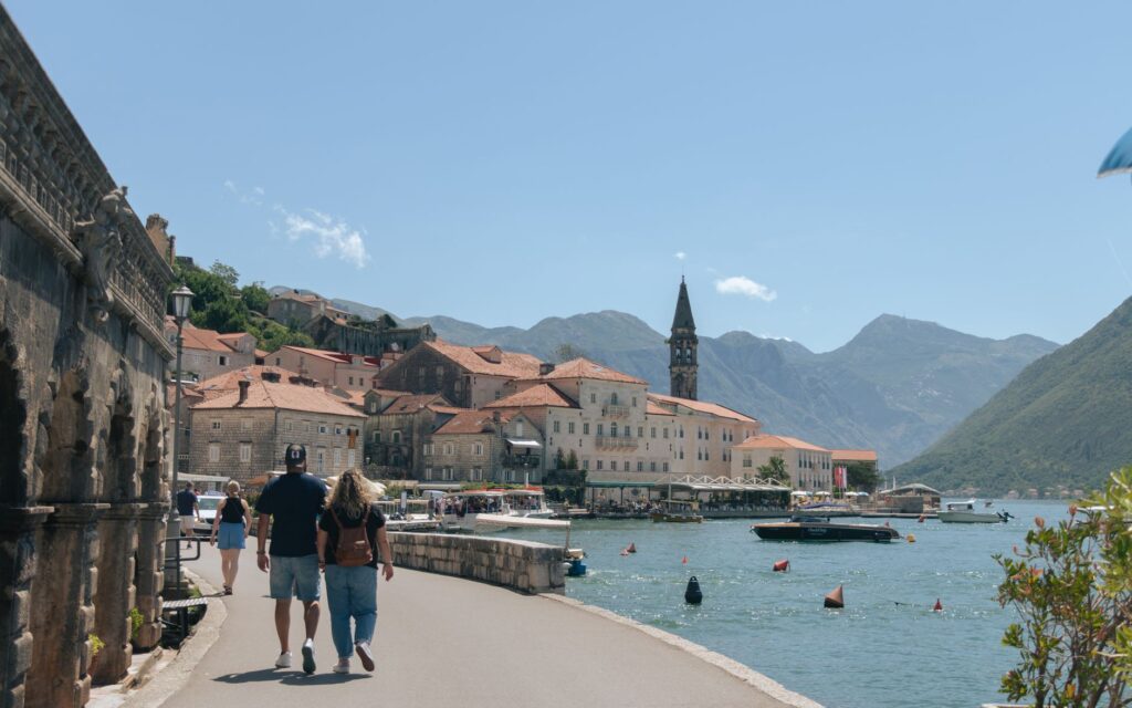
A few kilometers from Kotor, the towns of Perast and Dobrota represent the pinnacle of baroque maritime urbanism in the Adriatic. Lacking landward defensive walls, Perast was structured as a continuous line of palaces facing the channel, featuring white stone facades from Korčula and noble crests recalling the seafaring exploits of patrician families such as the Zmajević or Bujović.

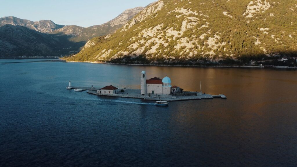
Off the coast of Perast rise the two most enigmatic insular landmarks of the bay: Saint George (Sveti Đorđe) and Our Lady of the Rocks (Gospa od Škrpjela). The latter is an artificial island created over centuries by the systematic sinking of stone-laden ships and the dropping of rocks by local sailors in fulfillment of a religious vow. The church crowning the islet houses a treasure trove of marine ex-votos documenting shipwrecks, tempests, and oceanic voyages, transforming the space into a floating archive of human intrepidity facing the sea.
Mobility and Sustainability Challenges in the 21st Century
Today, territorial management in the Bay of Kotor finds itself at a critical crossroads. The road infrastructure circling the fjord—the Adriatic highway—suffers severe congestion during summer months, collapsing small urban centers lacking adequate bypasses. This terrestrial saturation contrasts with deep-draft maritime traffic, represented by the massive arrival of cruise ships unloading thousands of daily visitors at Kotor’s historic pier.
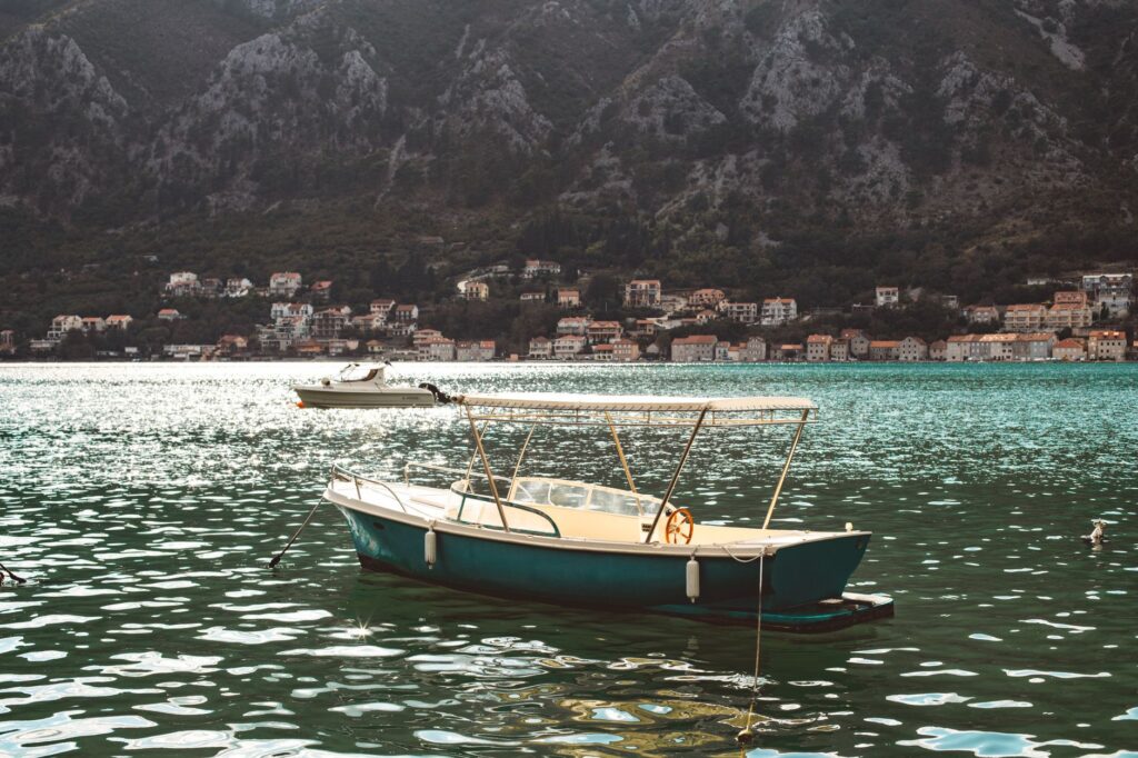
Local authorities and sustainable mobility experts debate implementing restrictive docking fees, daily landing caps, and promoting electric maritime public transport lines connecting the bay’s various enclaves without increasing emissions or noise. The goal is to transition from an intensive tourism exploitation model to visitor management based on the actual carrying capacity of the historical and natural heritage.
Practical guide
- How to get there: Tivat Airport (TIV) is just 7 kilometers from Kotor and offers regular connections to major European capitals. Alternatively, Dubrovnik Airport (DBV) in Croatia is 85 kilometers away, requiring a land border crossing at Debeli Brijeg.
- Best time to visit: The months of May, June, September, and October offer mild temperatures and lower influxes of large cruise ships, allowing travelers to explore trails and historic centers in peace.
- Local transportation: Using private cars within historic centers is strongly discouraged due to parking shortages. It is preferable to use regular buses connecting Kotor to Perast and Tivat, or hire water taxi services.
- Recommended accommodation: For an immersive experience, opt for small boutique hotels housed in restored historic mansions in Perast or Dobrota, away from Kotor’s urban bustle.
- Gastronomy and local produce: Try njeguški pršut (smoked ham from the Njeguši mountain), local cheeses in oil, and fresh bay seafood at traditional taverns away from main commercial circuits.
- Safety precautions: If hiking old military routes toward mountain fortresses, wear technical footwear, bring ample water, and avoid peak midday hours during summer due to extreme heat.
- Heritage regulations: The bay is a UNESCO protected area; anchoring in unauthorized areas and dumping waste into the aquatic environment is strictly prohibited.
The Silent Echo of Karst Tides
When evening falls and large passenger ships leave the fjord, the Bay of Kotor recovers an almost ancestral dignity. The water darkened by mountain reflections grows completely still, and the distant murmur of underwater springs once more becomes the dominant sound in Perast’s stone alleys. In that moment of transitional lighting, centuries of naval history, commerce, and military resistance seem to condense in the salty air. This landscape is not merely a picturesque backdrop for the contemporary traveler, but a persistent reminder of human capacity to inhabit with elegance and daring the most demanding confines of nature.