The Cape Wrath Trail Traverse in Scotland: Expedition and Hiking Guide Through the Wild Moors of the Highlands
A rigorous and exhaustive analysis of long-distance expedition planning in the far northwest of Scotland, technical management of bogs and rushing rivers, and remote shelter logistics at the British fringe.
Introduction to the Northern Fringe of Great Britain
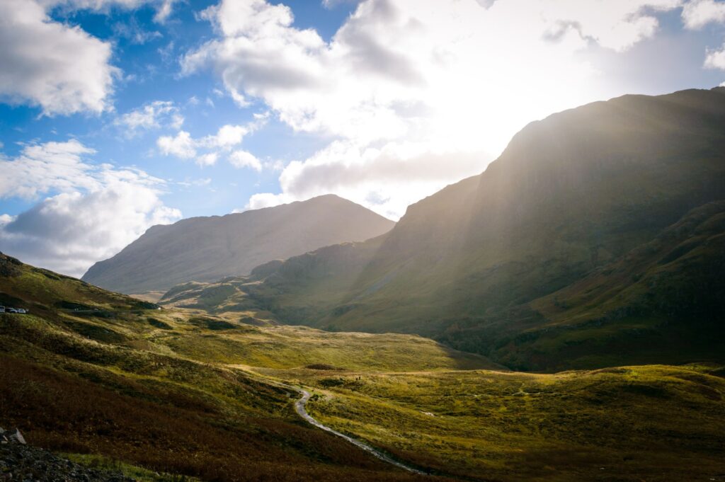
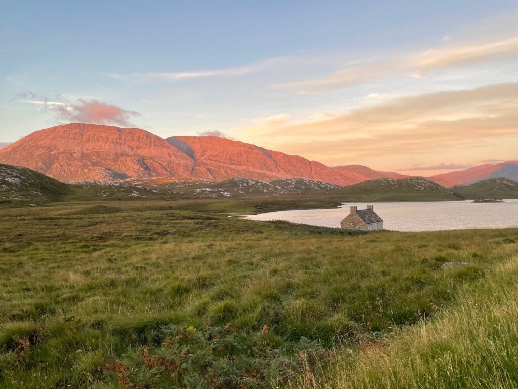
The far northwest of Scotland harbors one of the most demanding and remote pedestrian routes in Western Europe. The Cape Wrath Trail is not a waymarked path with plastic signs or a trail conditioned for mass tourism. It is a linear traverse of approximately three hundred kilometers that winds from Fort William or Banavie to the lighthouse situated at the extreme northwestern point of the British mainland. This route challenges the autonomy of the trekker in an environment where the weather changes drastically and human services disappear completely for days on end.
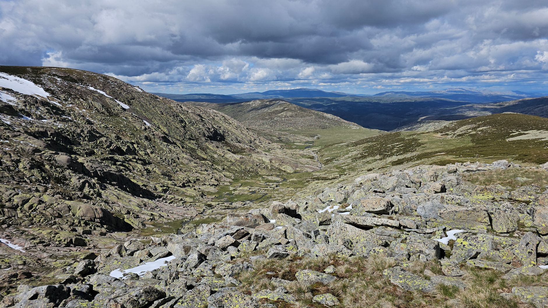
Venturing into this territory requires understanding that the Scottish terrain operates under its own physical and climatic rules. The open moors, locally known as flow country and vast expanses of peat bogs, put navigation equipment and psychological endurance to the ultimate test. Unlike traditional routes in the Alps or the Pyrenees, there are no serviced mountain huts with catering here; hikers must carry their own bivouac gear, fuel, and rations for stretches of up to five days of complete self-sufficiency.
The geology of the Northwest Highlands belongs to some of the oldest landscapes on the planet. The Lewisian gneiss rocks, with an estimated age exceeding three billion years, emerge from the surface in rounded hills and isolated ridges that rise abruptly above flooded plains. This topographical configuration creates a complex natural drainage system where rainwater does not channel into defined valleys, but instead saturates the organic soil, creating a perpetual blanket of moss, heather, and liquid peat that deters less experienced hikers.
Extreme Geography and Unpredictable Climatology
Planning an expedition to this British borderland requires deep study of North Atlantic atmospheric patterns. Storm systems slam directly into Scotland’s western coast, dumping annual precipitation exceeding three thousand millimeters in the higher elevations. Wind blows uninterrupted from the ocean, turning every day of marching into a constant exercise of balance and center-of-gravity control, especially when crossing exposed mountain passes or coastal ridges.
The thermal regime is moderate yet deceptive. During the summer months, spanning from June to September, daytime temperatures rarely exceed fifteen degrees Celsius, while at night they can drop sharply toward freezing. The true meteorological difficulty lies in the lethal combination of moisture and wind, capable of triggering hypothermia even in mid-summer if waterproof protective gear is not in perfect condition or if base-layer clothing fails to effectively wick away body sweat.
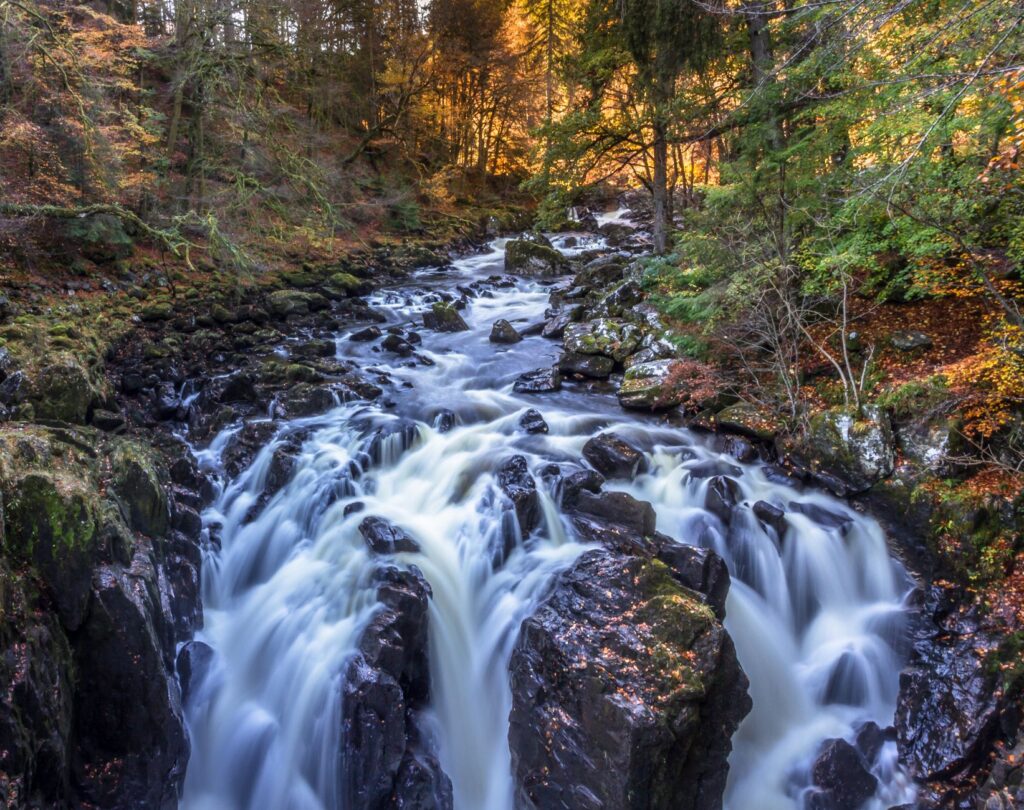
Water sources are abundant, but purification is an absolute priority. Although streams descend with crystal-clear water from the summits, the presence of grazing animals in the lower valleys and the organic decomposition of peat demand the systematic use of hollow-fiber membrane filters or chemical sterilization processes. Ignoring this protocol exposes travelers to pathogens like Giardia lamblia, a health risk that can entirely invalidate any attempt to complete the traverse within scheduled timeframes.
Approach Logistics and the Starting Point in Fort William
The most common starting point for this adventure is located near the Caledonian Canal, symbolically connecting with the terminus of other iconic routes such as the Great Glen Way or the West Highland Way. From UK transport hubs, arriving in Fort William is typically accomplished via scenic railway services or long-distance buses winding through glacial valleys. It is in this urban center that expeditioners must perform final weight checks, recount dehydrated food rations, and calibrate satellite communication devices.
Partial resupply logistics are essential to lighten initial backpack weight. Since carrying provisions for the full three weeks the entire trek might take without assistance is impossible, experienced mountaineers often use postal parcel delivery systems to strategic route points, such as Kinlochbervie or the rare local establishments accepting such mail. However, the reliability of these deliveries in rural areas requires a forecasting margin of more than two weeks prior to expedition departure.
Using printed cartography at the proper scale remains mandatory despite the popularity of digital navigation systems. The topographic maps of the British agency Ordnance Survey, specifically the detailed sheets covering Knoydart, Torridon, and Sutherland, provide precise information on elevation changes, deer fences, and riverfords. GPS devices act as valuable support elements, but the dense fog dropping suddenly onto the uplands can disable electronic signals or drain lithium batteries due to low operating temperatures.
Advanced Progression Techniques Over Peat Bogs and Mires
Advancing across Scottish terrain demands a specific marching technique differing radically from walking on compact dirt or stone paths. Soft peat surfaces and sphagnum moss bogs act as giant sponges trapping footwear with every step. Walkers must learn to read vegetation color: areas abounding in light-green rushes and bright moss usually hide deep mud pits, whereas zones with firm stones or dry heather offer greater structural stability for boot placement.
Trekking poles become vital body extensions during these days. Not only do they help maintain balance while carrying an eighteen- to twenty-two-kilogram backpack, but they also act as probes to check real mud depth or bottom consistency before placing body weight on questionable surfaces. Footwear should preferably be high-cut, waterproof, and deep-lugged, though many veterans prefer lightweight quick-drying boots accepting that feet will remain wet for most consecutive days.
Crossing unbridged streams and rivers constitutes one of the most technically and psychologically demanding moments of the expedition. Following heavy rain episodes, minor channels transform into raging, uncrossable torrents within hours. Mountaineers must identify points of lower gradient and wider width where the current loses strength, unbuckle backpack hip belts to facilitate rapid evacuation in case of a fall, and use poles to form a supportive tripod against water force.
«In the moors of northern Scotland, a mountaineer’s true measure is not calculated by pace speed, but by their capacity to accept perpetual dampness and the absolute silence of depopulated valleys.»
Wildlife and Management of the Northern Ecosystem
The geographical isolation of the Highlands has permitted the preservation of exceptional natural habitats where native wildlife roams freely. During the traverse, spotting red deer herds grazing on mountain slopes or golden eagles soaring over rocky ridges is common. This environment demands strictly respectful visitor behavior, minimizing noise and avoiding disturbance to the delicate nesting cycles of protected species inhabiting the heather moors.
One of the most unique biological challenges faced by travelers during summer months is the presence of the Highland midge, scientifically known as Culicoides impunctatus. This tiny dipteran insect, barely visible to the naked eye, forms dense clouds on humid, windless days, attacking exposed skin with ferocity. Using head nets impregnated with permethrin and rigorously applying repellents with a high DEET percentage are not optional luxuries, but essential elements of psychological survival in camp.
Personal waste management follows international Leave No Trace ethical principles adapted to British legislation concerning the right of public access to nature. Although Scotland has a legal tradition of open access allowing respectful camping in open terrain, this entails reciprocal responsibility: all organic material, packaging, and waste must be carried in the backpack until reaching urban bins located at the scarce stage endpoints.
Practical guide
When to go: The optimal window spans from June to September, when daylight hours are maximized and daytime temperatures are most favorable, though precipitation remains a constant factor.
How to get there: Fly into Glasgow or Edinburgh international airports, and connect to Fort William via West Highland Railway services or long-distance buses.
Permits and regulations: Open-air access is guaranteed by the Scottish Outdoor Access Code, permitting respectful low-impact wild camping without requiring prior permit applications.
Recommended technical gear: Waterproof high-cut mountain boots, telescopic poles with broad snow baskets for mud, membrane water filtration system, GPS with offline topographic maps, and satellite communication device.
Accommodation and shelters: Combination of wild camping in authorized zones and using free backcountry shelters (bothies) managed by the Mountain Bothies Association, without prior reservation options.
Health and safety: Essential use of midge head nets and effective repellents against Scottish midges, alongside extreme caution during river crossings following heavy rain episodes.
The Final Lighthouse and the Solitary Traveler’s Catharsis
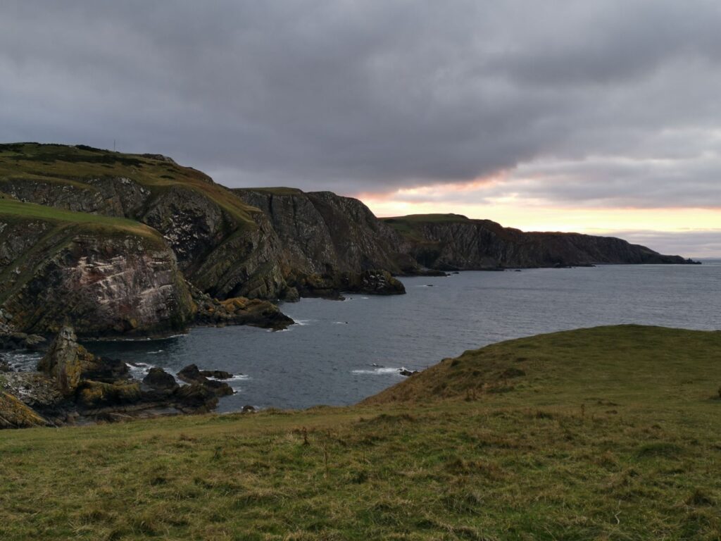
After overcoming Sutherland’s final rocky hills, the landscape opens abruptly toward the immense blue horizon of the Atlantic Ocean. At the base of the rocky promontory stands the white silhouette of the Cape Wrath lighthouse, built in the late 19th century by the Stevenson family engineers to guide mariners through treacherous waters. Reaching this isolated structure, accessible only after walking for weeks or crossing the estuary on a small seasonal ferry, generates a profound sense of inner transformation.
The hours following arrival are marked by absolute mental silence, a stark contrast with sustained physical effort and constant navigation tension in the moors. Watching waves crash against dark vertical stone cliffs while seabirds wheel through air currents consolidates the realization that the traverse’s true value lies not in the geographical milestone reached, but in the adaptive capacity developed against untamed nature.
The return to civilization is typically accomplished via an all-terrain vehicle traversing the peninsula’s only gravel track to the kyle pier, where a small boat transports the trekker back to the mainland. Looking back one last time toward the distant lighthouse silhouette enveloped in sea mist, the traveler understands that the Scottish Highlands are not merely visited: they are indelibly inscribed in memory through exertion, weather, and solitude shared with the wind.
ATLAS LUME · ANTES DE VIAJAR
Una lectura que continúa en el destino
DocumentaciónComprueba visados, requisitos sanitarios y vigencia de documentos en fuentes oficiales.
ReservasConfirma el precio final, impuestos y condiciones directamente con el proveedor.
Viaje responsableRespeta las comunidades, el patrimonio y los ecosistemas locales.